My Store
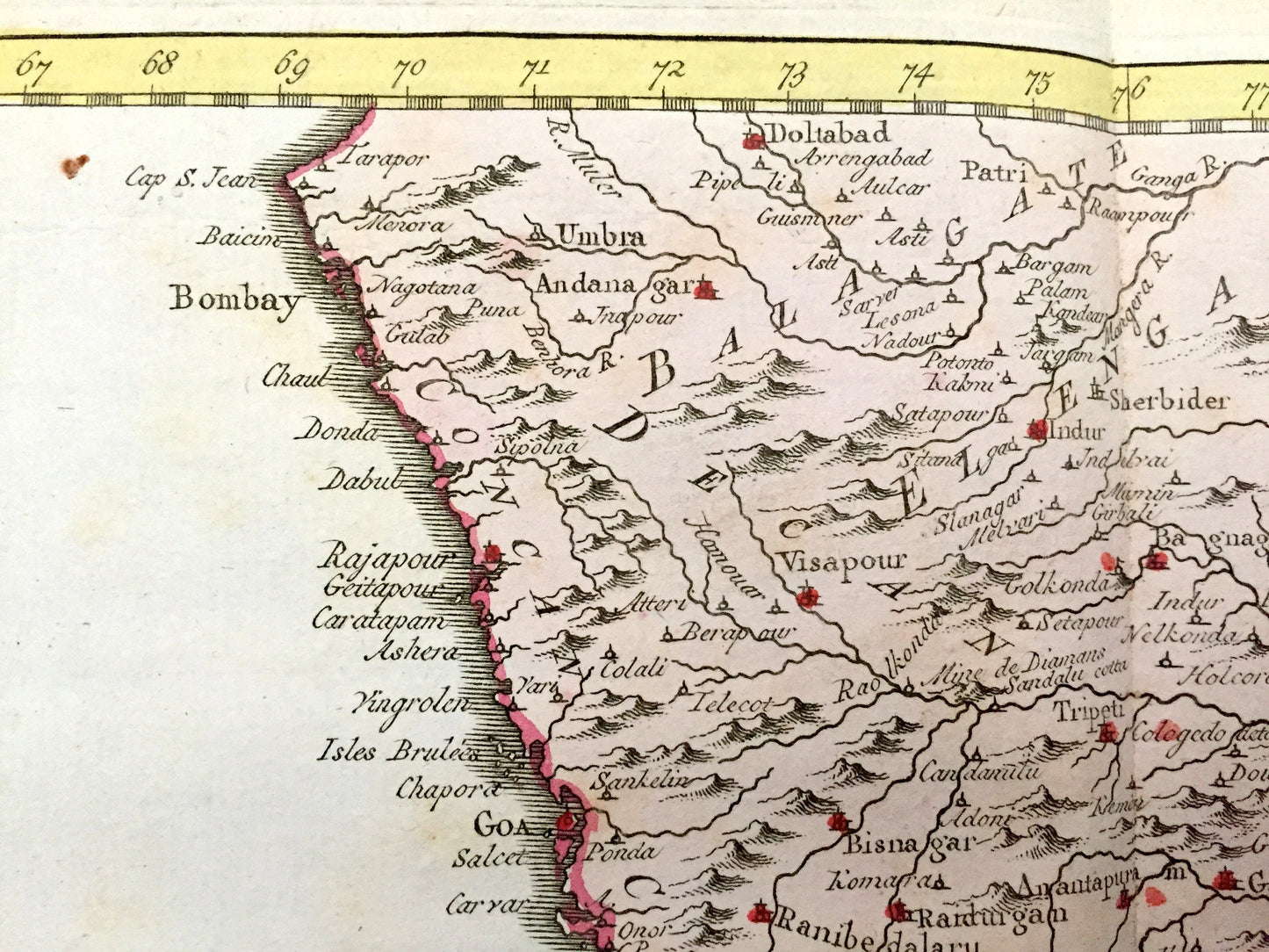
Antique 1773 Hindostan India Map by Jacques Nicolas Bellin from Harrevelt L’histoire Philosophique Atlas – Bombay, Mumbai, Madras, Sri Lanka
Antique 1773 Hindostan India Map by Jacques Nicolas Bellin from Harrevelt L’histoire Philosophique Atlas – Bombay, Mumbai, Madras, Sri Lanka
Beautiful, antique map of India, then known as Hindostan to Europeans in the late 18th century. This is an authentic 1773 engraving, published by Ernest van Harrevelt and Daniel Jean Changuion, after Bellin, for Harrevelt's "Atlas portatif pour servir à l’intelligence de l’histoire philosophique et politique des établissemens et du commerce des Européens dans les deux Indes."
See what India and Sri Lanka looked like 250 years ago. Hand colored. Verso is blank. Lots of intricate, charming details like mountains and rivers and older city names. All text is in French and Dutch.
Perfect for the historian, map-lover, the curious or just as a conversation starter. Wonderful and rare. Vintage maps such as these make great gifts.
Edition of 1773, printed 1773
Dimensions: 15 3/4" width x 10 1/4" height
----
Condition: Good Vintage condition, commensurate with age. This map is in incredible shape for being approximately 250 years old. Light edge-wear and edge-coloration, but this will read as vintage character when framed.
----
We will happily adjust shipping price for multiple purchases. Maps are rolled up and shipped in sturdy mailing tubes, never folded.
Couldn't load pickup availability
Share