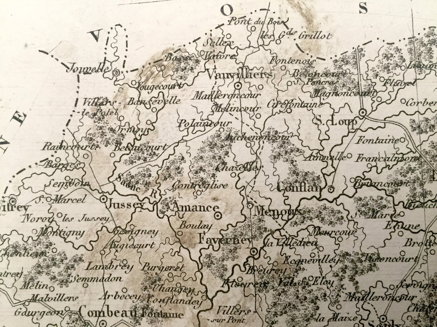
Beautiful, antique map of Haute-Saône Department of France by V. Monin, with an illustration of Pont de Gray. This is an authentic map taken from the renowned "Petit Atlas National des 86 Departements de la France et de Colonies" published in 1833 and NOT a computer reproduction.
See what France looked like over 185 years ago. Lots of charming, intricate details and contours, including cities, towns, roads, rivers, forests and other landmarks. All text is in French. Verso is blank.
Perfect for the historian, map-lover, the curious or just as a conversation starter. Wonderful and rare. Vintage maps such as these make great gifts.
Edition of 1833, printed 1833
Dimensions: 12 1/2" width x 9 1/2" height
----
Condition: Fair to Good Vintage condition, commensurate with age. This map is in good shape for being over 185 years old. Has edge-wear, toning and staining, but these will add to vintage character and its authenticity when framed.
----
We will happily adjust shipping price for multiple purchases. Maps are rolled and shipped fully-insured in sturdy mailing tubes, never folded.