My Store
Antique 1833 India Map from SDUK Atlas – Gulf of Cambay, Nagpur, Gujarat, Madhya Pradesh, Daman Silvassa, Maharashtra, Indore, Vadodara
Antique 1833 India Map from SDUK Atlas – Gulf of Cambay, Nagpur, Gujarat, Madhya Pradesh, Daman Silvassa, Maharashtra, Indore, Vadodara
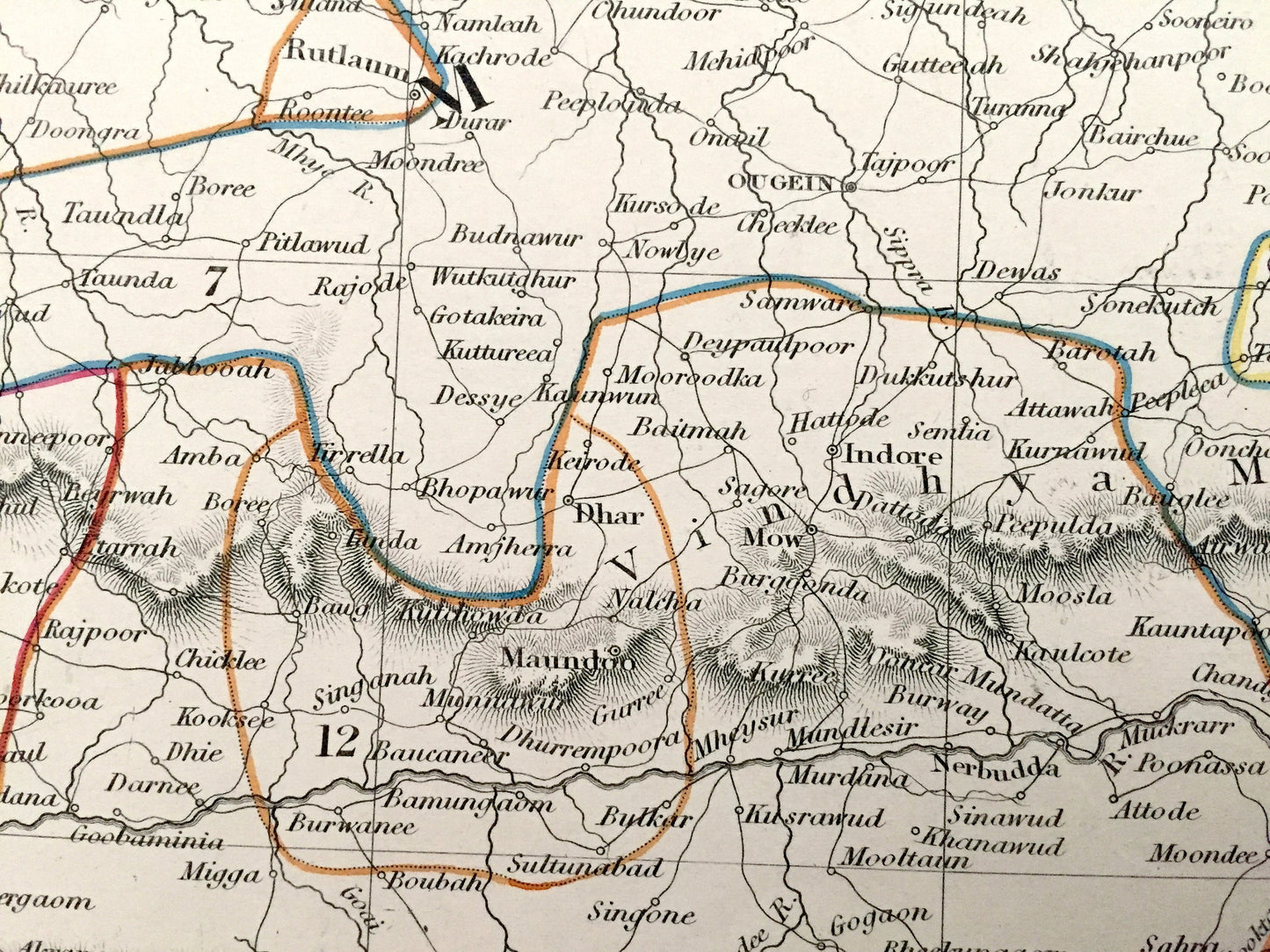
Beautiful, antique map of central western India. This is an authentic engraving, India Plate No. VI, published in the Society for the Diffusion of Useful Information's Atlas of 1833. This map is original and is NOT a reproduction.
See what India looked like 190 years ago. Verso is blank. Lots of intricate, charming details like mountains, islands, lakes, trade routes, canals, rivers and older city names.
Perfect for the historian, map-lover, the curious or just as a conversation starter. Wonderful and rare. Vintage maps such as these make great gifts.
Edition of 1833, printed 1833
Dimensions: 16" width x 13" height
----
Features
The Society for the Diffusion of Useful Knowledge (SDUK) was founded in 1826 with the object of publishing information to people who were unable to obtain formal teaching, or who preferred self-education. Their publications were intended for the working class and the middle class, as an antidote to the more radical output of the pauper presses.
----
Condition: Good Vintage condition, commensurate with age. This map is in incredible shape for being more than 185 years old. Light edge-wear and toning as can be seen in the photographs, but this will read as vintage character when framed.
----
We will happily adjust shipping price for multiple purchases. Maps are rolled up and shipped in sturdy mailing tubes, never folded.
Couldn't load pickup availability
Share