My Store
Antique 1836 Map of North Wales by John Bartholomew – United Kingdom, Cymru, Snowdonia, Anglesey, Gwynedd, Wrexham, Conwy, Powys, Rhyl, UK
Antique 1836 Map of North Wales by John Bartholomew – United Kingdom, Cymru, Snowdonia, Anglesey, Gwynedd, Wrexham, Conwy, Powys, Rhyl, UK
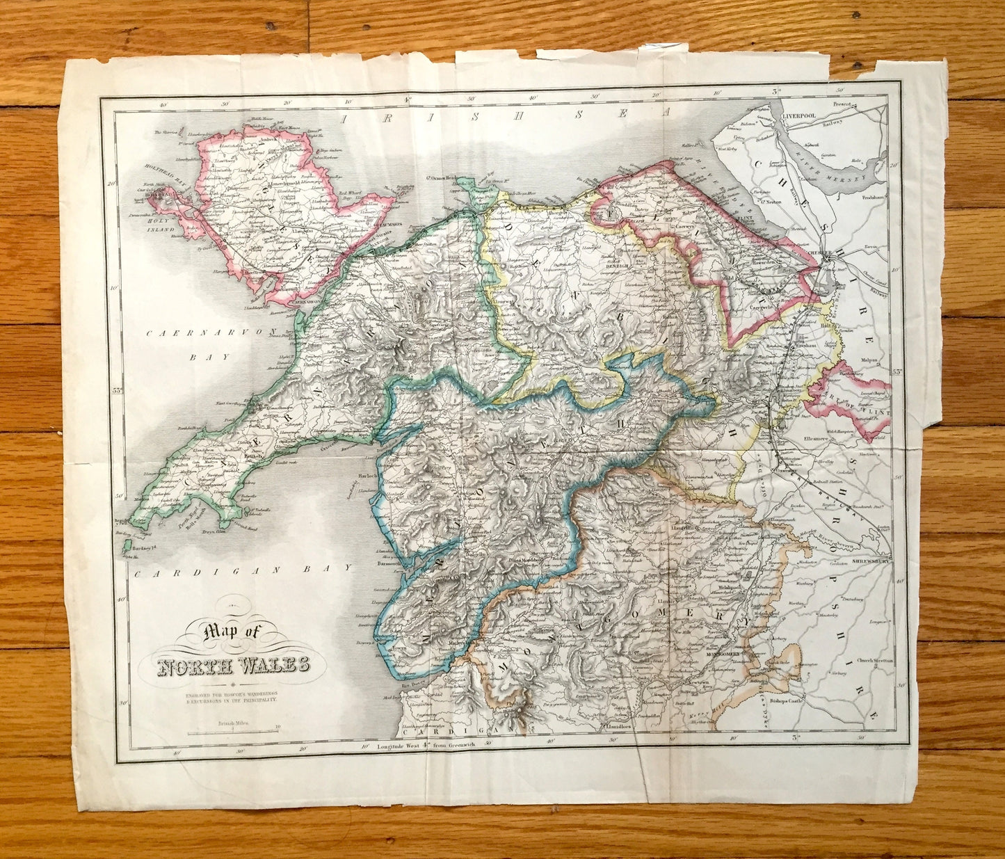
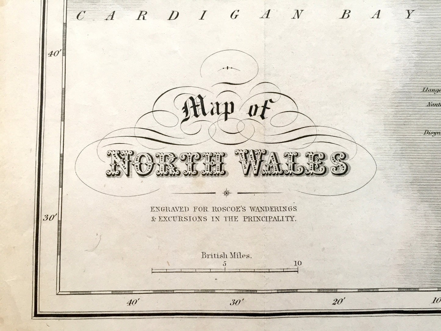
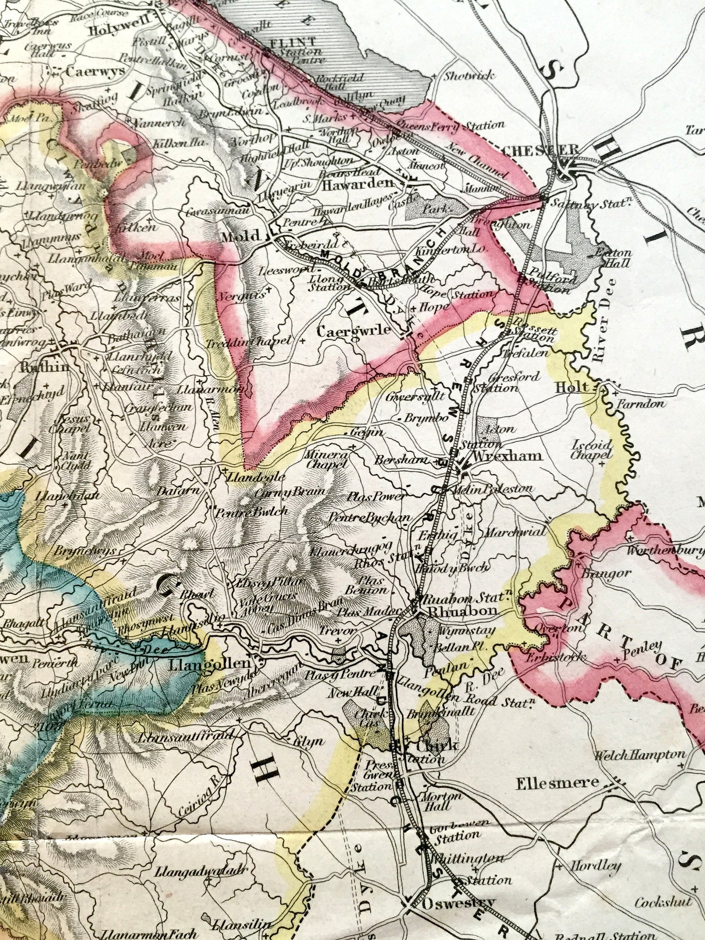
Beautiful, antique map of Northern Wales. This is an authentic engraving by John Bartholomew from Thomas Roscoe's "Wanderings & Excursions in the Principality," published in 1836 by Tilt and Bogue, Simpkin & Company. It is an original and is NOT a computer reproduction.
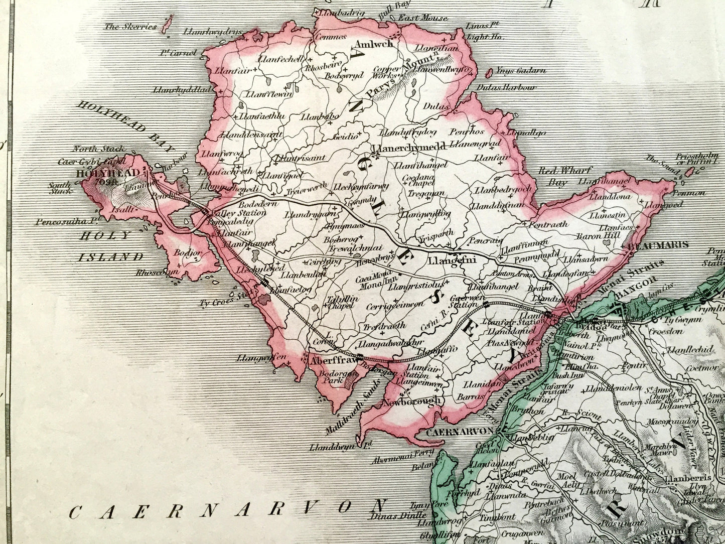
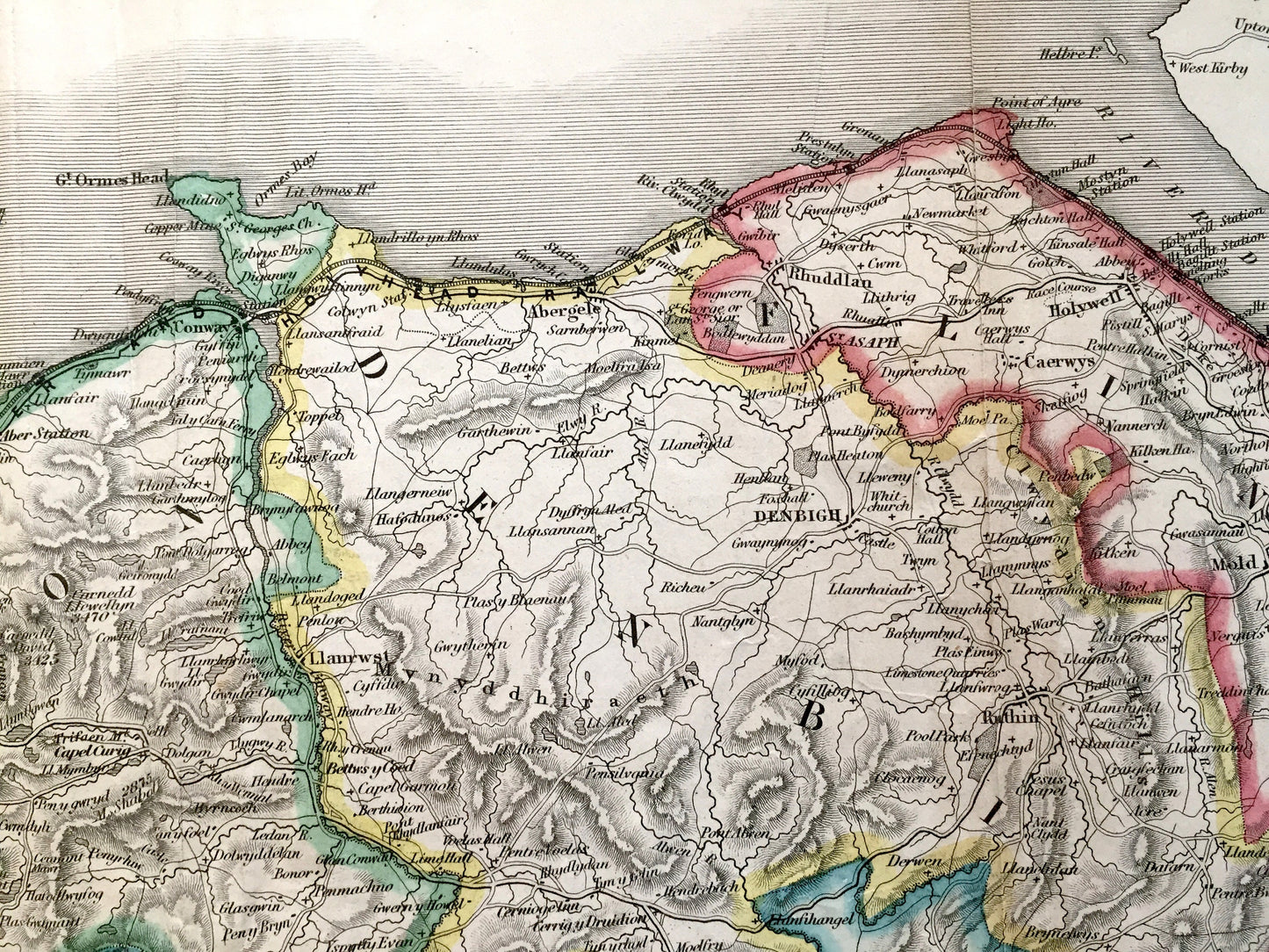
See what Wales looked like over 185 years ago. Lots of charming, intricate details, decorative border and geological contours, including mountains, islands, counties, and rivers. Hand colored. Verso is blank.
Perfect for the historian, map-lover, the curious or just as a conversation starter. Wonderful and rare. Vintage maps such as these make great gifts.
Edition of 1836, printed 1836
Dimensions: approx. 16 1/2" width x 14" height
----
Condition: Good or "Very Vintage" condition, commensurate with age. This map is in great shape for being over 185 years old. Has some foxing, toning and real edge-wear, as well as folds from book, but these will flatten easily and all will read as vintage character when framed.
----
We will happily adjust shipping price for multiple purchases. Maps are rolled up and shipped in sturdy mailing tubes, never folded.
Couldn't load pickup availability
Share