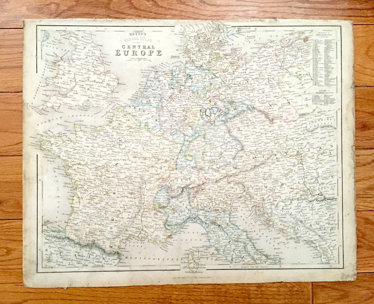
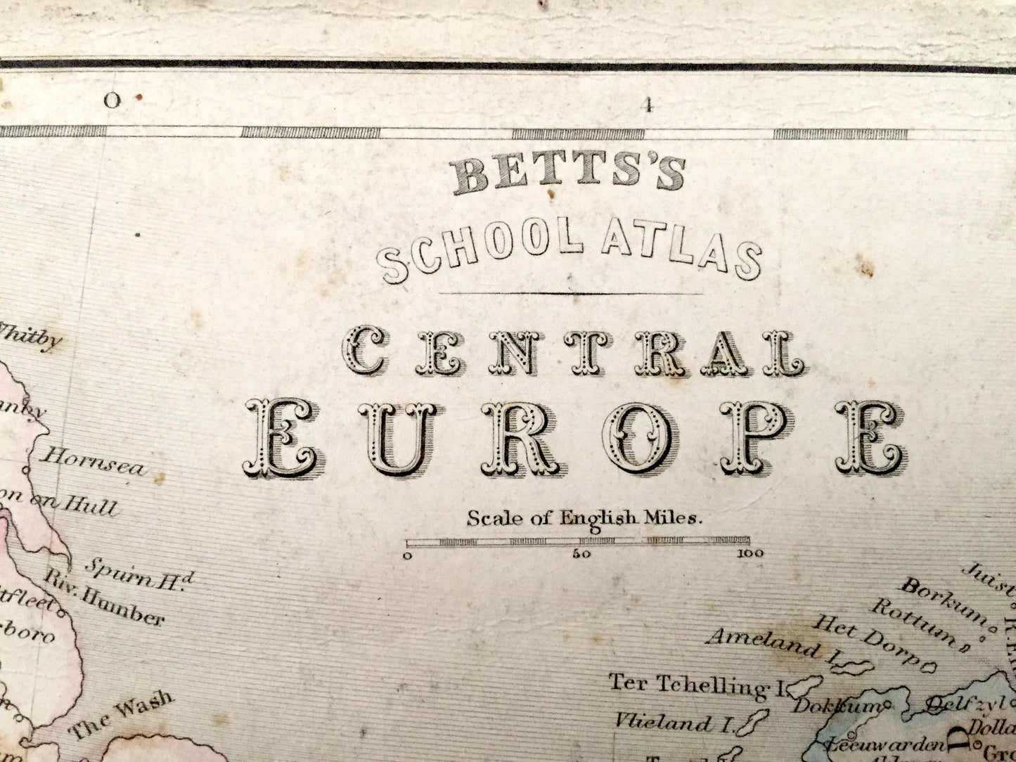
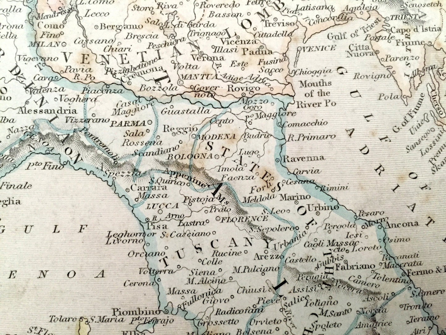
Beautiful, antique map of Central Europe, from England to the Austrian Empire. This is an authentic engraving from "Betts's School Atlas" by John Betts, published in 1838 and is NOT a computer reproduction.
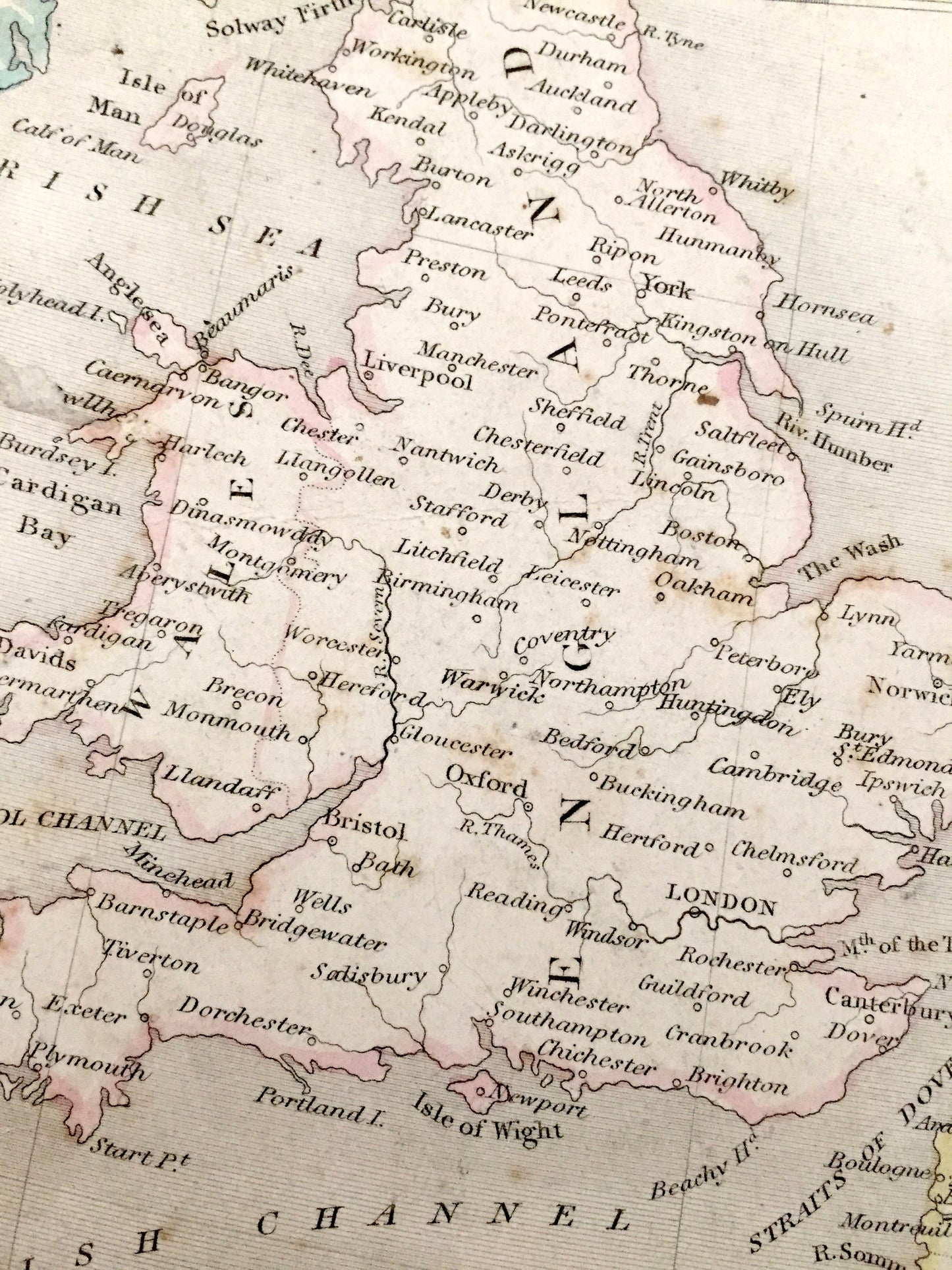
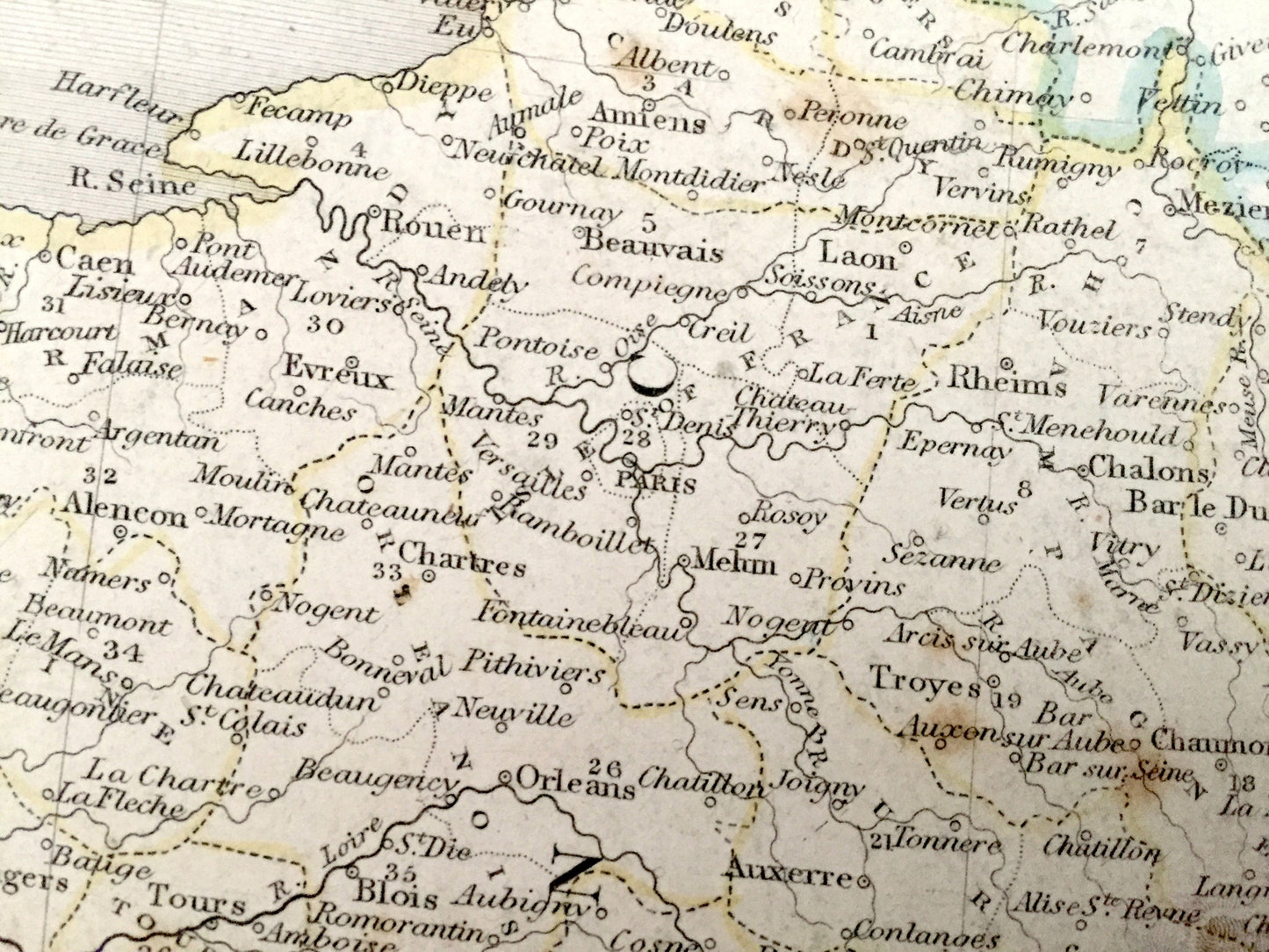
See what Europe looked like over 180 years ago. Lots of charming, intricate details and geological contours, including cities, mountains, islands, counties and rivers. Hand colored. Verso is blank. Printed on very thick paper.
Perfect for the historian, map-lover, the curious or just as a conversation starter. Wonderful and rare. Vintage maps such as these make great gifts.
Edition of 1838, printed 1838
Dimensions: 16" width x 12 1/2" height
----
Condition: Good Vintage condition, commensurate with age. This map is in great shape for being almost 200 years old. Some edge-wear, discoloration and foxing, but this will read as vintage character when framed.
----
We will happily adjust shipping price for multiple purchases. Maps are rolled up and shipped in sturdy mailing tubes, never folded.