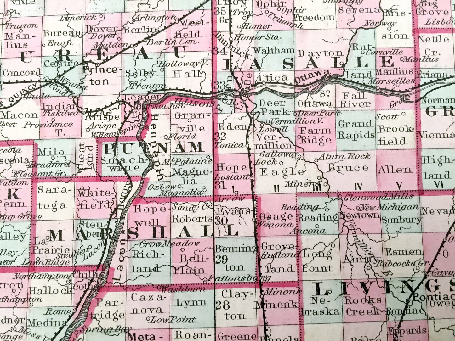
Beautiful, antique map of the great state of Illinois, with an inset of the Cook County & Chicago area. This is an authentic engraving from GW & CB Colton & Company, published in 1855 and NOT a computer reproduction.
See what Illinois looked like over 160 years ago. Lots of charming, intricate details and geological contours, including mountains, islands, counties and rivers. Hand colored. Verso is an informative page on Illinois.
Perfect for the historian, map-lover, the curious or just as a conversation starter. Wonderful and rare. Vintage maps such as these make great gifts.
Edition of 1855, printed 1855
Dimensions: 17 1/2" width x 28" height
----
Condition: Very Good condition, commensurate with age. This map is in incredible shape for being over 160 years old. Light edge-wear and toning, but this will all read as vintage character when framed.
----
We will happily adjust shipping price for multiple purchases. Maps are rolled up and shipped in sturdy mailing tubes, never folded.