My Store
Antique 1863 England and Wales Map by Weller & Weekly Dispatch – Scotland, Ireland, Isle of Man, London, Cornwall Sussex Brighton Glasgow UK
Antique 1863 England and Wales Map by Weller & Weekly Dispatch – Scotland, Ireland, Isle of Man, London, Cornwall Sussex Brighton Glasgow UK
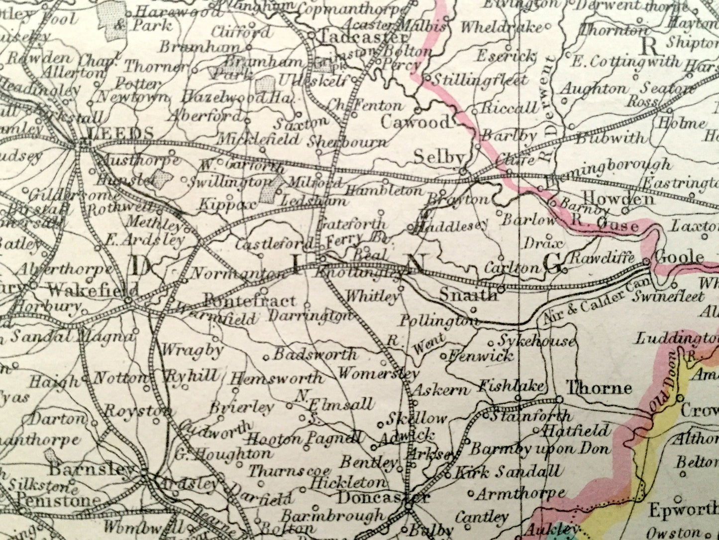
Beautiful, antique maps of England and Wales by E. Weller, from the Scottish border to the English Channel. These are authentic maps taken from the Weekly Dispatch World Atlas published in 1863 and NOT a computer reproduction. Map is split into FOUR sheets. Listing is to purchase all.
See what Great Britain looked like more than 150 years ago, at the height of Queen Victoria's reign! Lots of charming, intricate details and contours, including mountains, rivers, lakes, railroads and city names. Hand-colored. Verso is blank.
Perfect for the historian, map-lover, the curious or just as a conversation starter. Wonderful and rare. Vintage maps such as these make great gifts.
Edition of 1863, printed 1863
Dimensions: 27" width x 38 1/4" height
----
Points of Interest: England, York, Durham, Lincoln, Derby, Nottingham, North Riding, West Riding, East Riding, North Sea, Humber River, The Wash, North York Moors, Wales, Scotland, Ireland, Isle of Man, Northumberland, Cumberland, Westmorland, Chester, Cheshire, Flint, Anglesey, Lancashire, Liverpool, Lancaster, Manchester, Edinburgh, Glasgow, Islay, Isle of Arran, Kintyre, Irish Sea, River Mersey, North Channel, Solway Firth, Morecambe Bay, Cornwall, Devon, Dorset, Somerset, Gloucester, Monmouth, Hereford, Worcester, Montgomery, Merioneth, Pembroke, Carmarthen, Cardigan, Dorchester, Plymouth, Exmoor, Cardiff, Bristol, Shrewsbury, English Channel, St. George’s Channel, Cardigan Bay, Bristol Channel, Carmarthen Bay, Dartmoor Forest, France, Sussex, Surrey, Kent, Isle of Wight, Buckingham, Warwick, Oxford, Essex, Suffolk, Norfolk, Cambridge, Leicester, Northampton, Hertford, London, Chichester, Brighton, Portsmouth, Salisbury, Winchester, Birmingham, Coventry, Strait of Dover, River Thames, Salisbury Plain.
Condition: Good Vintage condition, commensurate with age. These maps are in great shape for being over 150 years old. Have light wear, toning, and small edge tears, but this will add to vintage character when framed.
----
We will happily adjust shipping price for multiple purchases. Maps are rolled up and shipped in sturdy mailing tubes, never folded.
Couldn't load pickup availability
Share