My Store
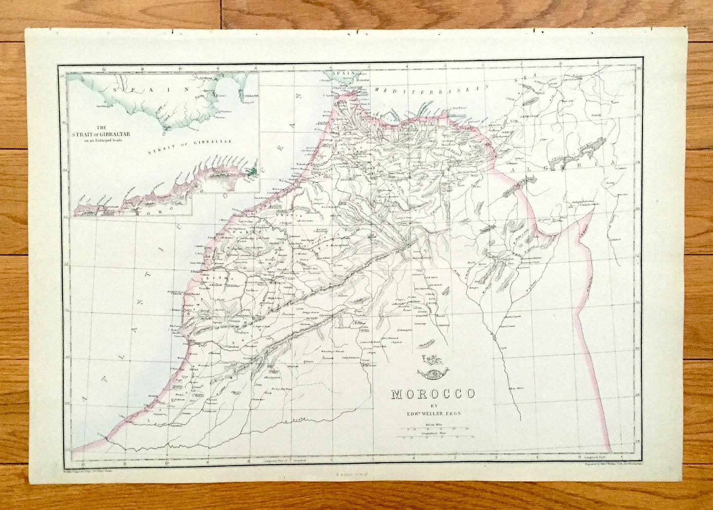
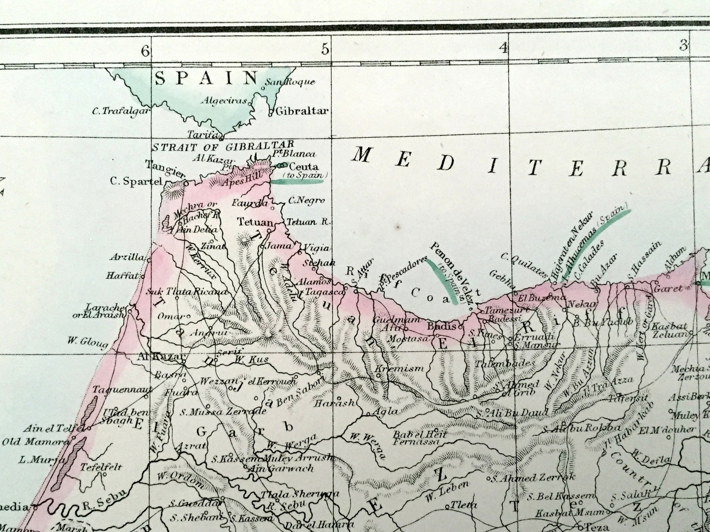
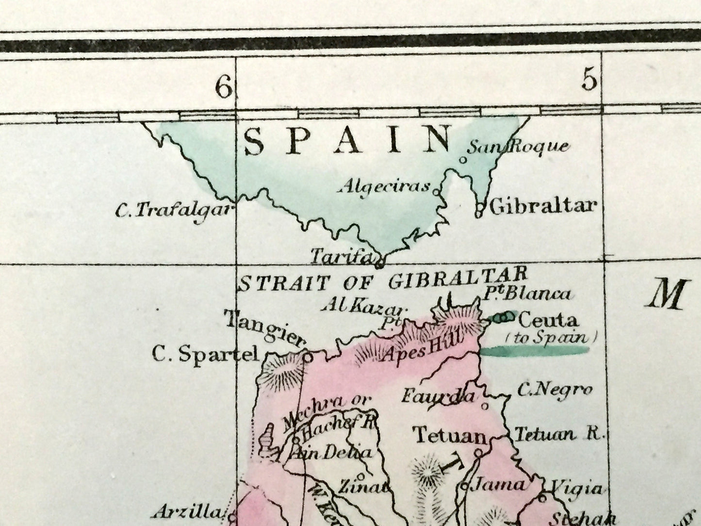
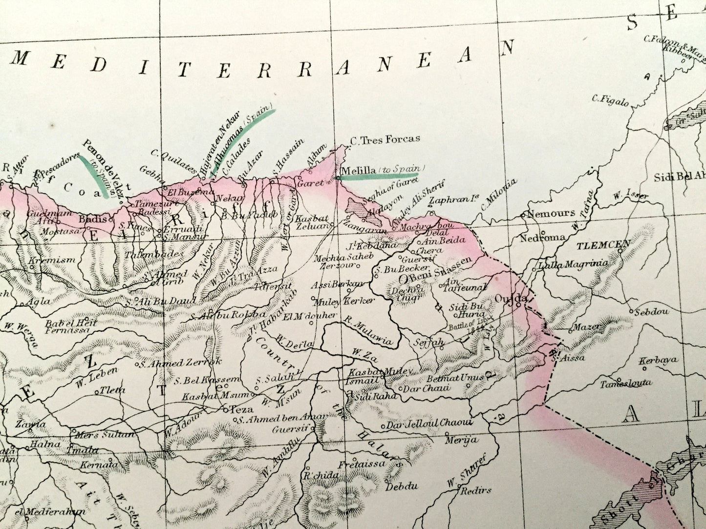
Antique 1863 Morocco Map by Weller & Weekly Dispatch – Strait of Gibraltar, Atlas Mountains, Algeria, Tangier, Rabat, Marrakesh, Fez, Oran
Antique 1863 Morocco Map by Weller & Weekly Dispatch – Strait of Gibraltar, Atlas Mountains, Algeria, Tangier, Rabat, Marrakesh, Fez, Oran
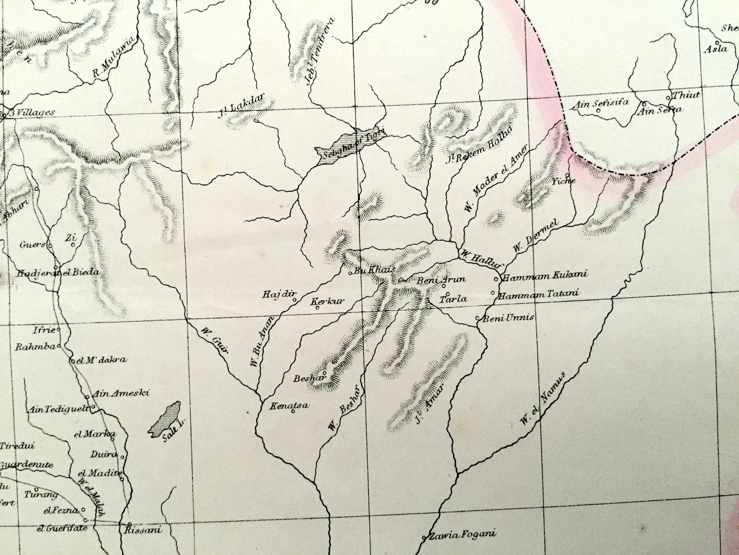
Beautiful, antique map of Morocco by E. Weller, from the Strait of Gibraltar all the way down to the Atlas Mountains. This is an authentic map taken from the Weekly Dispatch World Atlas published in 1863 and NOT a computer reproduction.
See what Morocco looked like more than 150 years ago, just after the Spanish-Moroccan War. Lots of charming, intricate details and contours, including mountains, rivers, lakes, railroads and city names. Hand-colored. Verso is blank.
Perfect for the historian, map-lover, the curious or just as a conversation starter. Wonderful and rare. Vintage maps such as these make great gifts.
Edition of 1863, printed 1863
Dimensions: 18 3/4" width x 13" height
----
Points of Interest: Morocco, Algeria, Spain, Strait of Gibraltar, Tangier, Rabat, Marrakesh, Fez, Oran, Gibraltar, Mediterranean Sea, Atlantic Ocean, Atlas Mountains, Chott Ech Chergui, Rif Coast.
Condition: Very Good condition, commensurate with age. This map is in incredible shape for being over 150 years old. Has light wear and toning, but this will add to vintage character when framed.
----
We will happily adjust shipping price for multiple purchases. Maps are rolled up and shipped in sturdy mailing tubes, never folded.
Couldn't load pickup availability
Share