My Store
Antique 1864 France, Holland & Belgium Map by Johnson and Ward – Paris, Amsterdam, Brussels, Rotterdam, Nantes, Lyon, Dusseldorf, Luxembourg
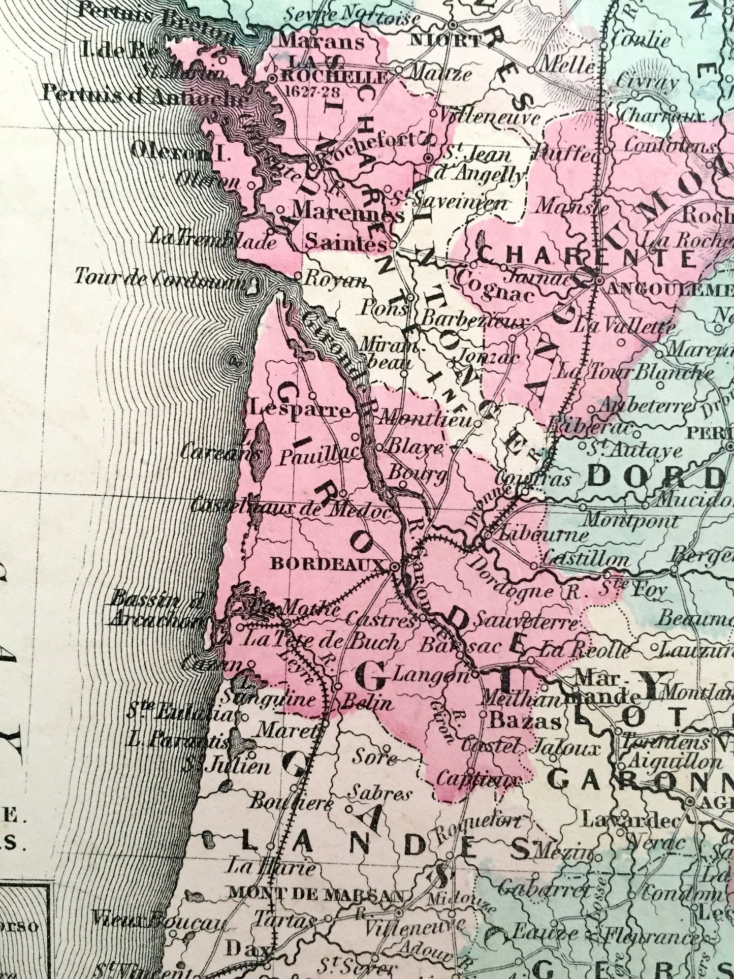
Antique 1864 France, Holland & Belgium Map by Johnson and Ward – Paris, Amsterdam, Brussels, Rotterdam, Nantes, Lyon, Dusseldorf, Luxembourg
Beautiful, antique map of France, Holland and Belgium, with inset details of Corisca, Amsterdam and Brussels. This is an authentic engraving from Johnson and Ward's 1864 Edition Atlas (Plate3 #73 and #74).
See what Europe looked like over 150 years ago in the early 1860's. Lots of charming, intricate details and geological contours, including mountains, islands, counties and rivers. Hand colored. Verso is a historical and statistical view of Asia.
Perfect for the historian, map-lover, the curious or just as a conversation starter. Wonderful and rare. Vintage maps such as these make great gifts.
Edition of 1864, printed 1864
Dimensions: 26 1/2" width x 18" height
----
Features
Points of Interest: France, Holland, Belgium, Luxembourg, England, Corsica, Spain, English Channel, Bay of Biscay, North Sea or German Ocean, Mediterranean Sea, Zuider Zee, Paris, Amsterdam, Brussels, Nantes, Brest, Lyon, Marseilles, Toulouse, Jersey, Guernsey, Bordeaux, Nice, Cannes, Versailles, Orléans, The Hague, Rotterdam, Ghent, Antwerp, Groningen, Bruges, Dunkirk, Dusseldorf, The Alps, Seine River, and much more.
----
Condition: Good condition, commensurate with age. This map is in incredible shape for being over 150 years old. Some edge-wear and toning, but this will read as vintage character when framed.
----
We will happily adjust shipping price for multiple purchases. Maps are rolled up and shipped in sturdy mailing tubes, never folded.
Couldn't load pickup availability
Share