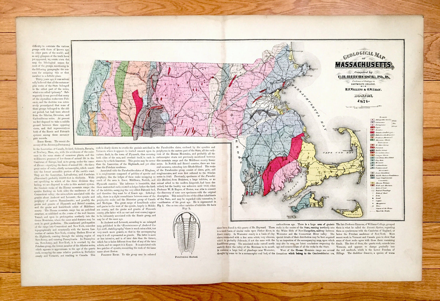
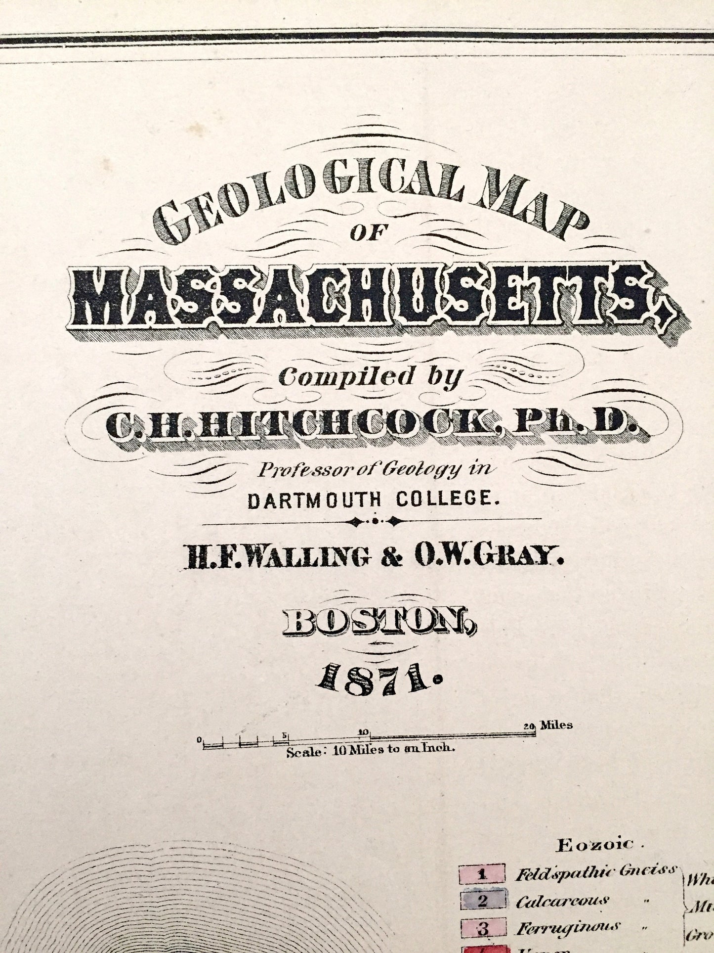
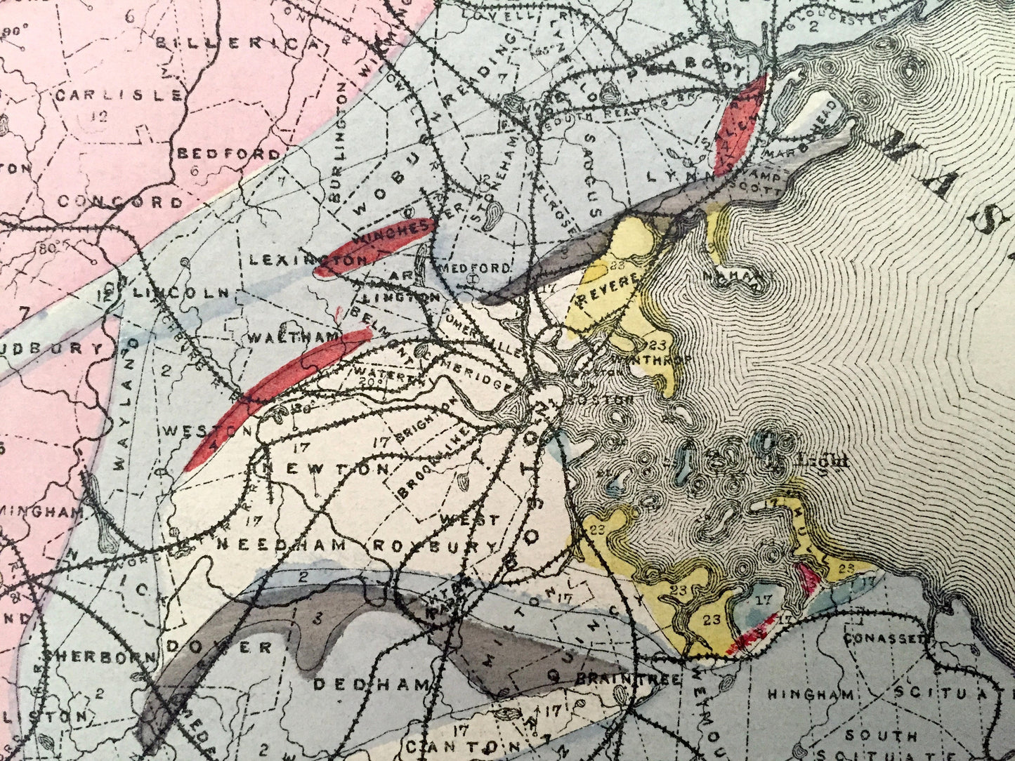
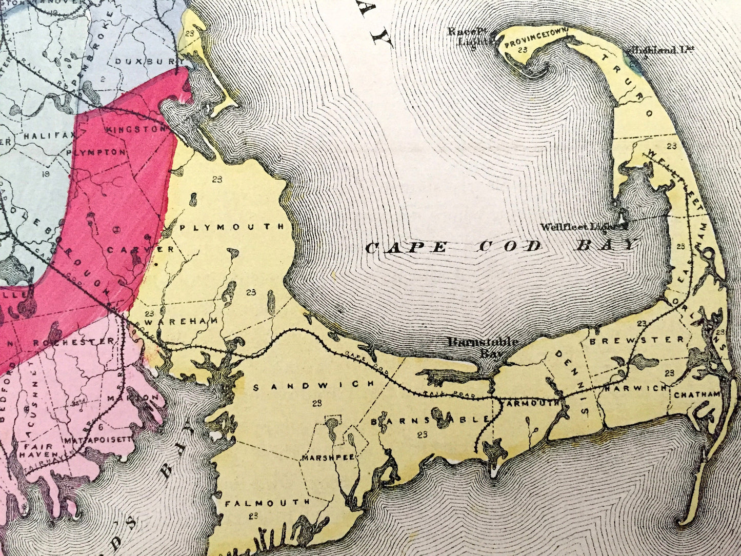
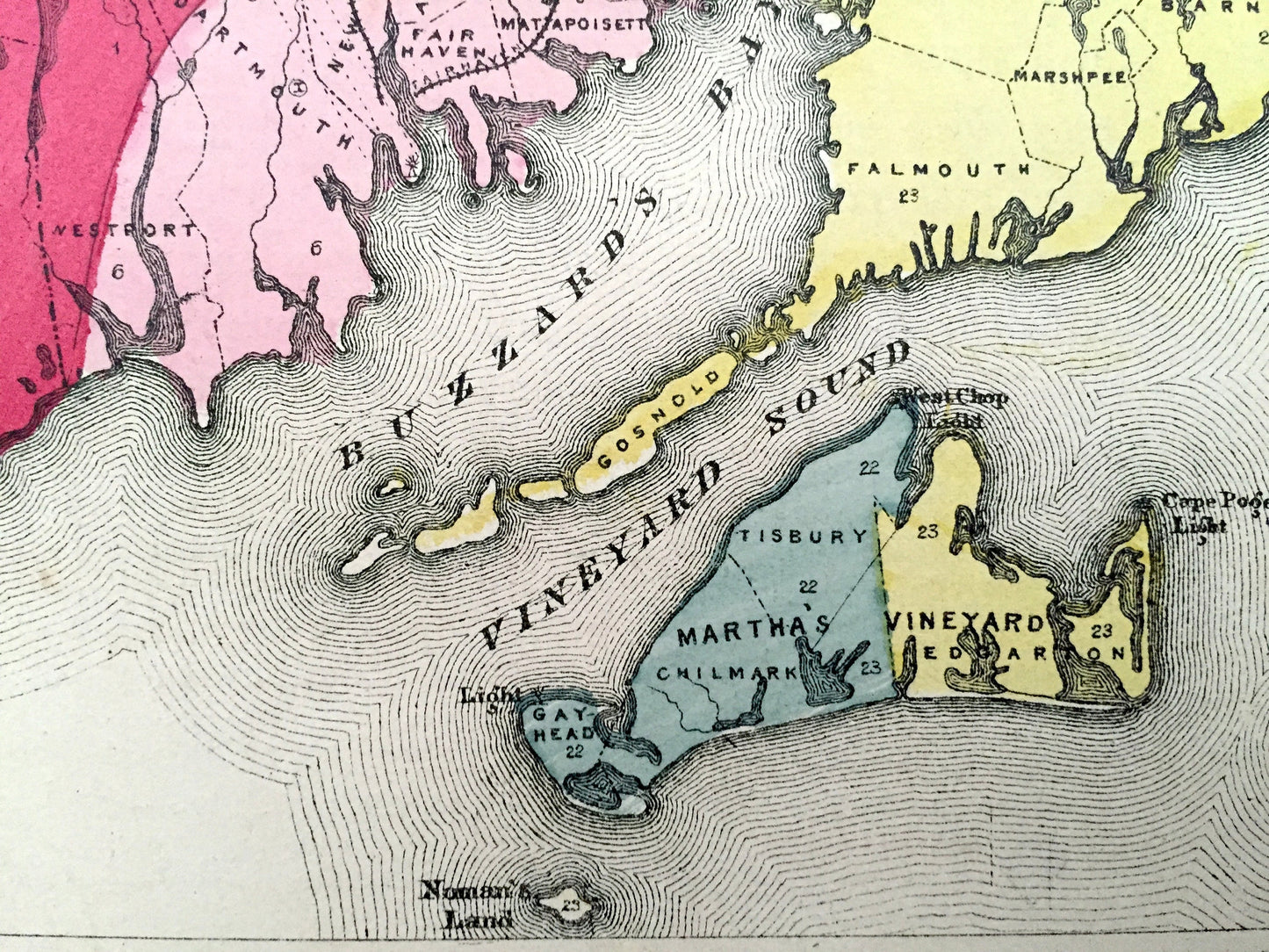
Beautiful, antique topographical map of Massachusetts. This is an authentic map by Walling & Gray taken from Stedman, Brown & Lyon's "Official Topographical Atlas of Massachusetts" published in 1871 and NOT a computer reproduction.
See what Massachusetts looked like 150 years ago. Lots of charming, intricate details and contours, including topographical rock formations, railroads and cites & towns. Hand colored. Verso has accompanying atlas text.
Perfect for the historian, map-lover, the curious or just as a conversation starter. Wonderful and rare. Vintage maps such as these make great gifts.
Edition of 1871, printed 1871
Dimensions: 25 1/2" width x 17" height
----
Condition: Good Vintage condition, commensurate with age. This map is in great shape for being 150 years old. Some edge-wear and toning, all of which will add to vintage character when framed.
(Picture of atlas front page is for reference and not included.)
----
We will happily adjust shipping price for multiple purchases. Maps are rolled up and shipped in sturdy mailing tubes, never folded.