My Store
Antique 1883 Back Bay West, Boston, Massachusetts Map from G.W. Bromley Atlas – Columbus, Berklee School, Prudential, Christ Scientist, MA
Antique 1883 Back Bay West, Boston, Massachusetts Map from G.W. Bromley Atlas – Columbus, Berklee School, Prudential, Christ Scientist, MA
Beautiful, antique map of the Back Bay West & Columbus neighborhoods of Boston, Massachusetts. This is an authentic map (Plate T) taken from G.W. Bromley's "Atlas of Boston City Proper" published in 1883 and NOT a computer reproduction.
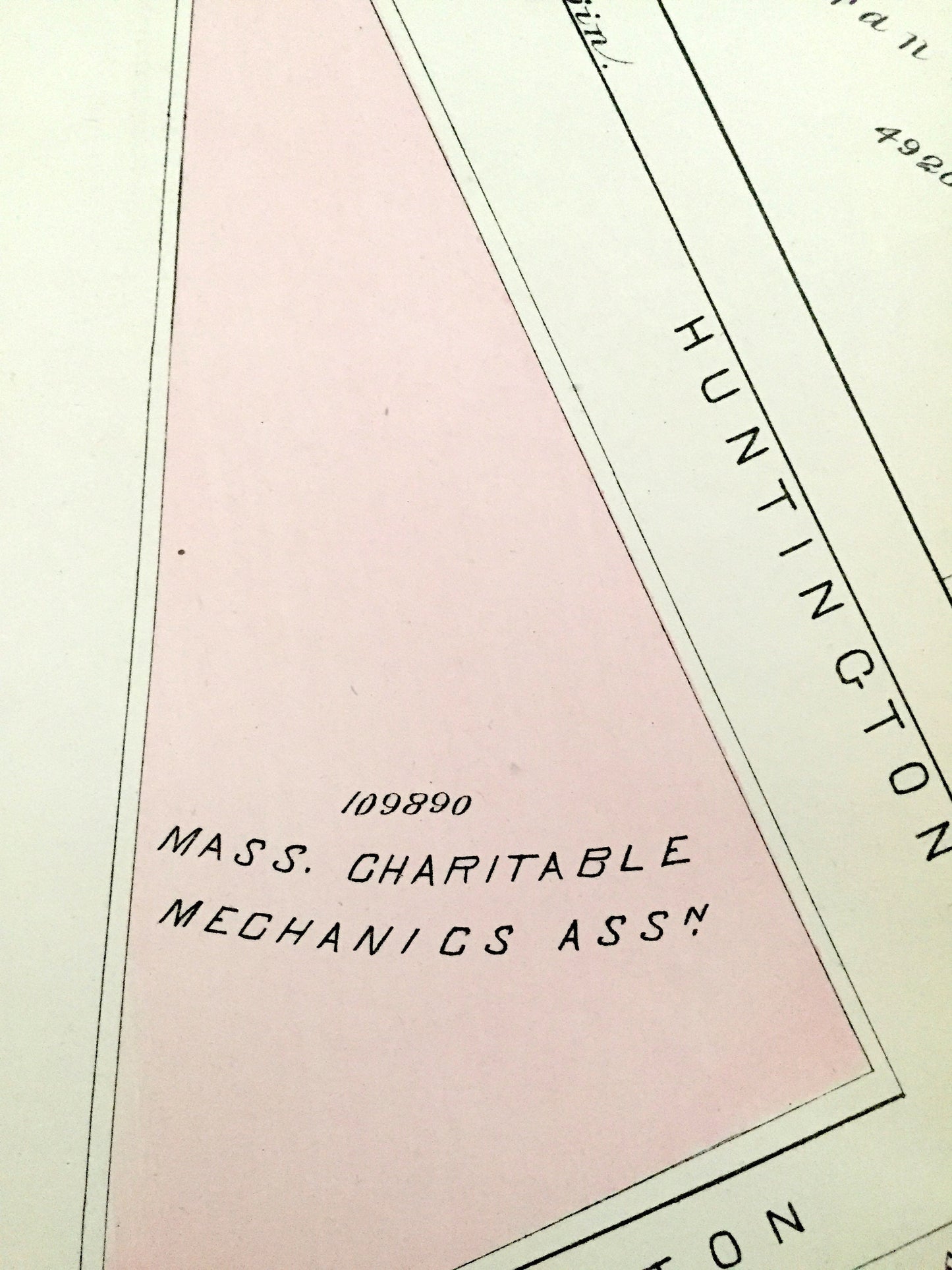
See what Boston looked like more than 135 years ago, when much of this part of Boston hadn't been developed yet (Mass Ave was still Westchester Ave). Lots of charming, intricate details and contours, including main streets, rivers, gardens, squares, houses and the names of property owners at the time, including previous land owners (usually of farms). Hand colored. Verso is blank.
Perfect for the historian, map-lover, the curious or just as a conversation starter. Wonderful and rare. Vintage maps such as these make great gifts.
Edition of 1883, printed 1883
Dimensions: 30" width x 20 1/4" height
----
Cities, Neighborhoods & Points of Interest: Boston, Back Bay West, Columbus, Boylston St, future sites of Prudential Center and Church of Christ Scientist, Christian Science Plaza, Hynes Convention Center and the Berklee Performance Center, and many other streets, houses, churches, schools, squares and land property owners' names.
Condition: Good Vintage condition, commensurate with age. This map is in great shape for being almost 140 years old. Some edge-wear and toning, all of which will add to vintage character when framed.
(Picture of atlas front page is for reference and not included.)
----
We will happily adjust shipping price for multiple purchases. Maps are rolled up and shipped in sturdy mailing tubes, never folded.
Couldn't load pickup availability
Share