My Store
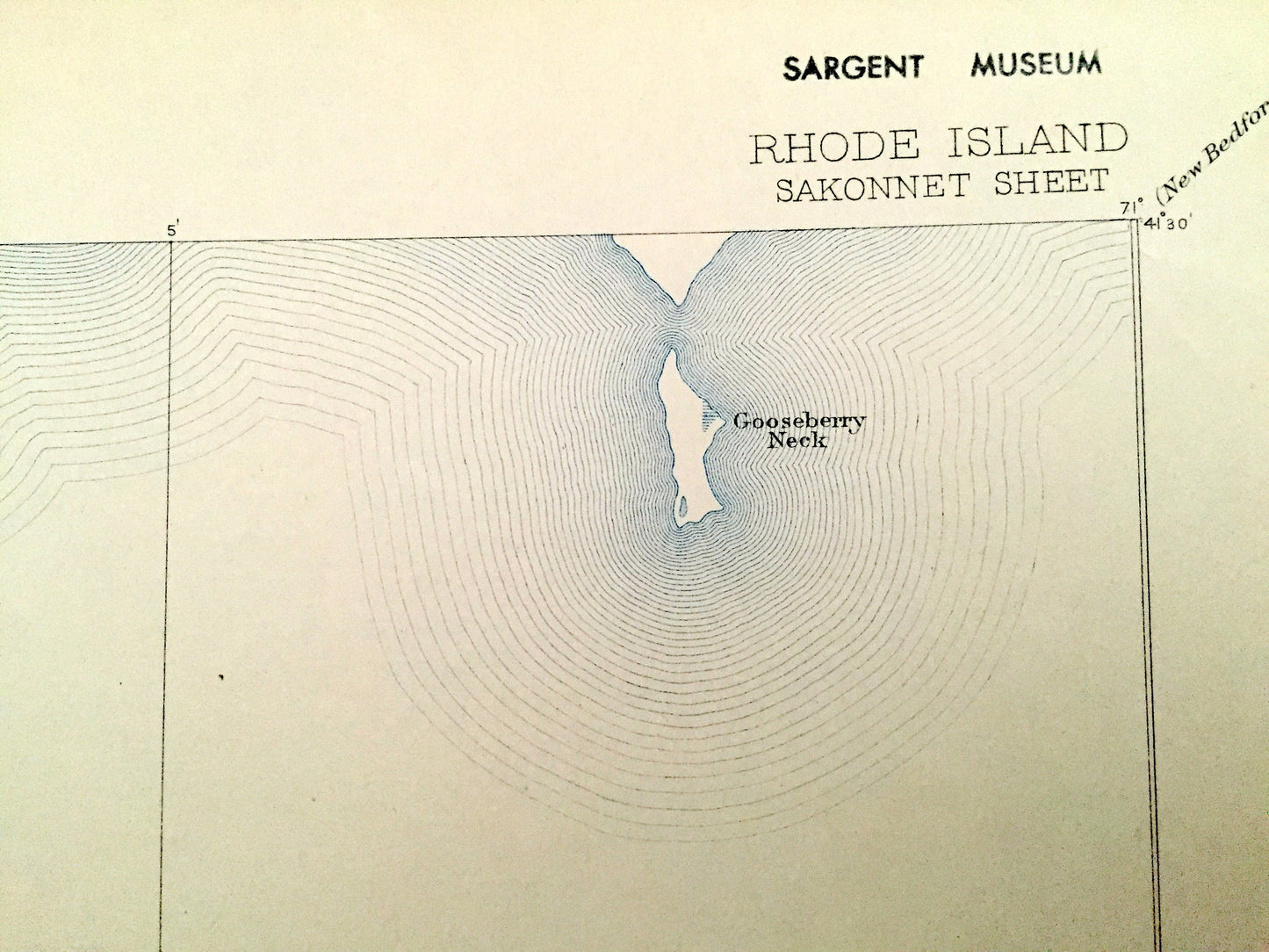
Antique 1885 Sakonnet, Rhode Island US Geological Survey Topographic Map – Middletown, Little Compton, Westport, Newport Massachusetts RI MA
Antique 1885 Sakonnet, Rhode Island US Geological Survey Topographic Map – Middletown, Little Compton, Westport, Newport Massachusetts RI MA
Beautiful, antique map Sakonnet, Rhode Island and surrounding Newport County area, including Massachusetts. This is an authentic 1885 edition, 1913 print from the U.S. Geological Survey and NOT a computer reproduction.
See what New England looked like over 125 years ago. Lots of intricate details and geological contours. Map even has little squares for every house that existed at the time. The USGS cartographers were very thorough back then!
Perfect for the historian, map-lover, the curious or just as a conversation starter. Wonderful and rare. Vintage maps such as these make great gifts.
Edition of 1885, printed 1913
Dimensions: 16 1/2" width x 20" height
----
Features
Cities & Towns: Sakonnet, Middletown, Little Compton, Westport.
Points of Interest: Atlantic Ocean, Sakonnet River, Sachuest Neck, Flint Point, Island Rocks, West Island, Warren Point, Halfway Rock, Sakonnet Point, East Island, Church Point, Woods Castle, Tunipus Beach, Peaked Rock, Quicksand Point, Gooseberry Neck (Island), and more roads, houses, ponds, hills, streams, islands, harbors, swamps.
Condition: Good Vintage condition, commensurate with age. This map is in great shape for being over 100 years old. Has light edge-wear, toning and museum stickers and stamp in margin, but this will all read as vintage character when framed.
----
We will happily adjust shipping price for multiple purchases. Maps are rolled up and shipped in sturdy mailing tubes, never folded.
Couldn't load pickup availability
Share