My Store
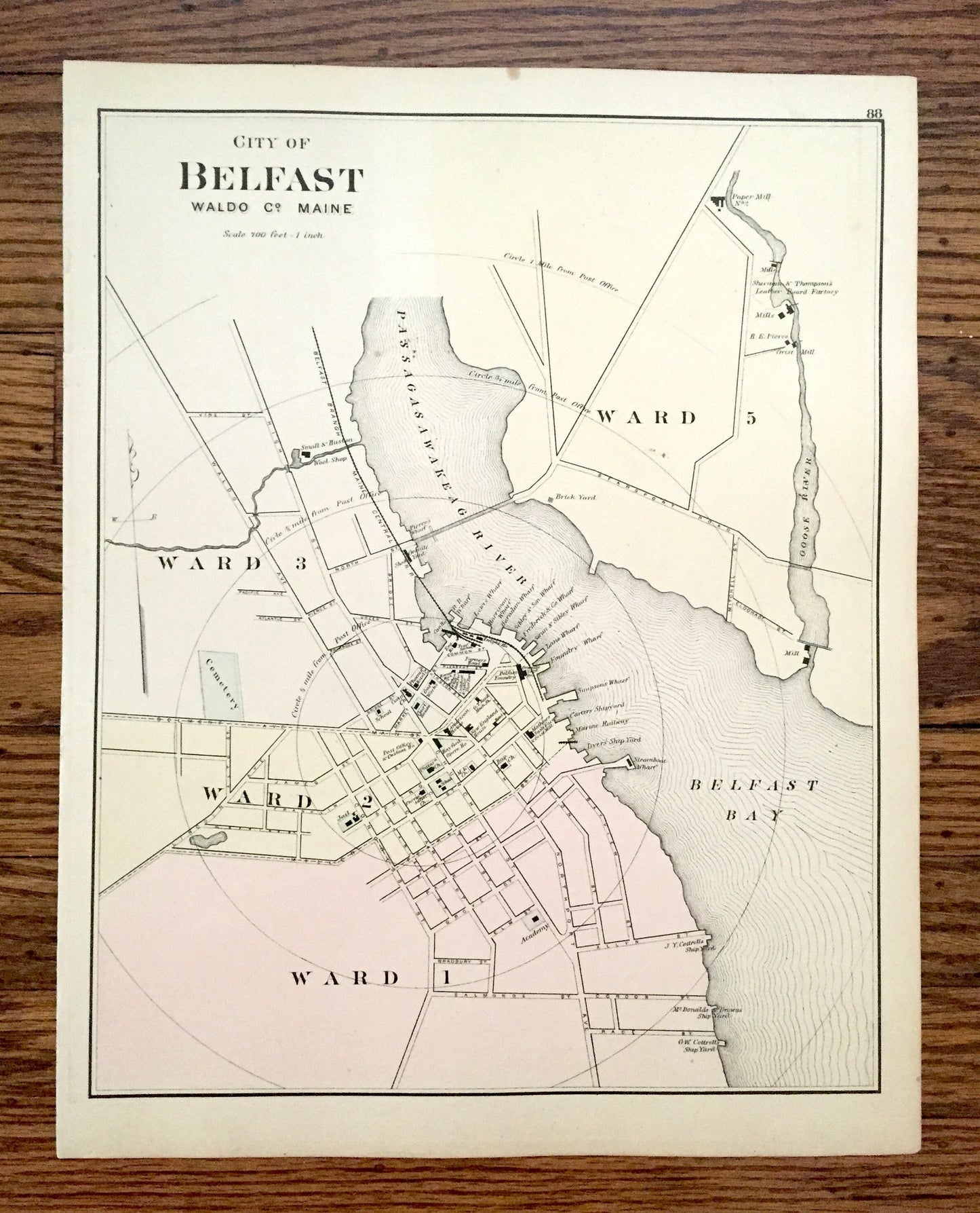
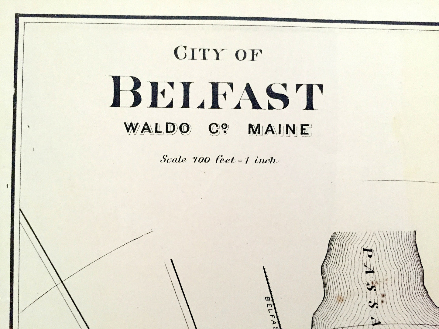
Antique 1887 Belfast, Maine Map by George N. Colby & Company – Waldo County, Passagassawakeag River, Washington, Calais, Vanceboro, ME
Antique 1887 Belfast, Maine Map by George N. Colby & Company – Waldo County, Passagassawakeag River, Washington, Calais, Vanceboro, ME
Beautiful, antique map of Belfast, Maine of Waldo County. This is an authentic map taken from George N. Colby & Co.'s Atlas published in 1887 and NOT a computer reproduction. The reverse side is the northern part of Washington County, Maine.
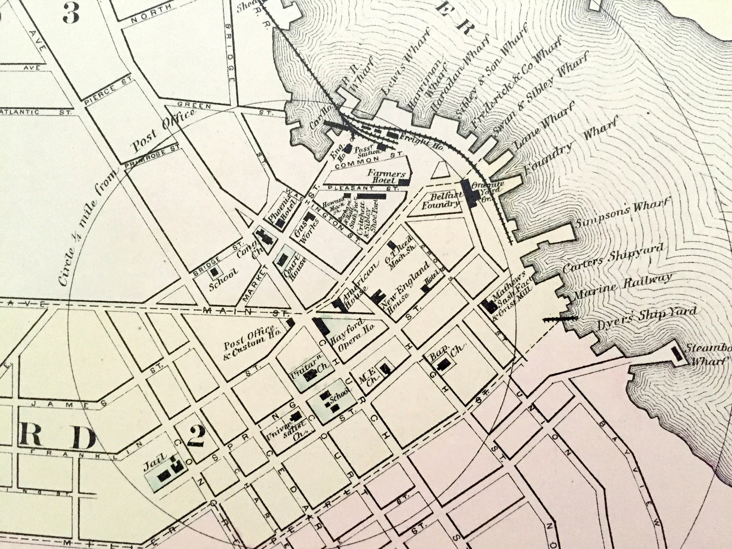
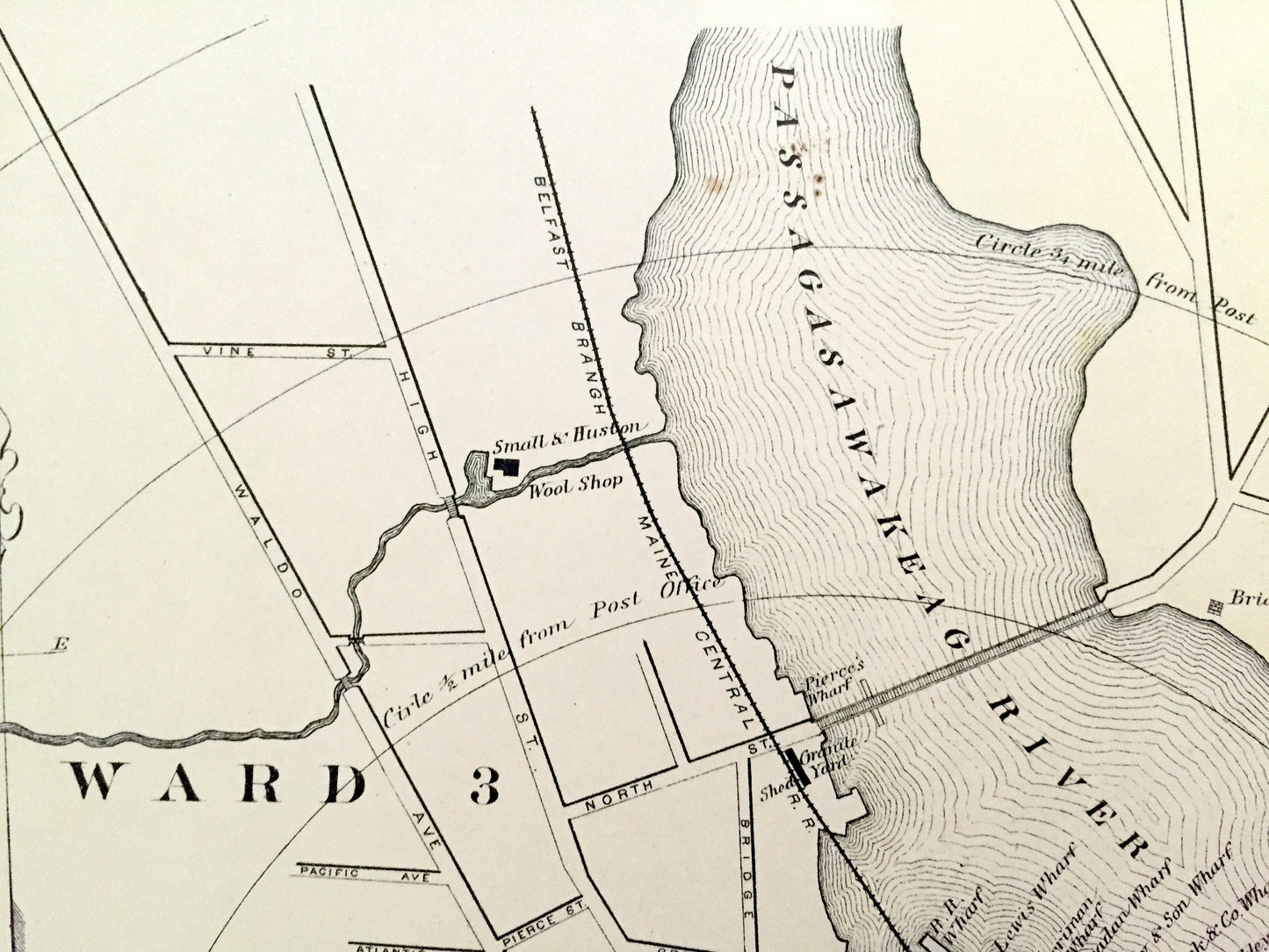
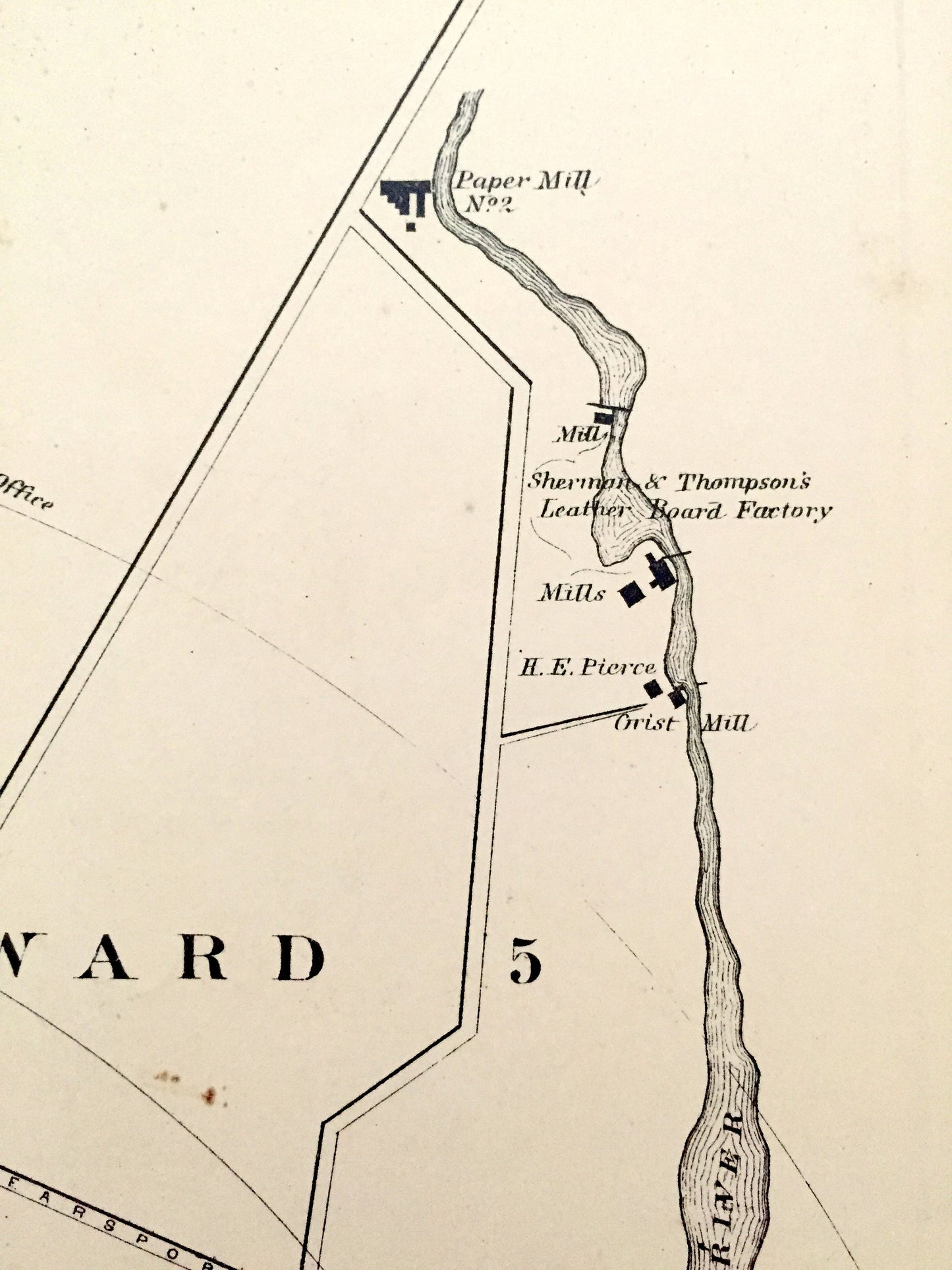
See what Maine looked like over 135 years ago in the 1880's. Lots of charming, intricate details and contours, including street names, rivers, ponds and the prominent buildings and businesses of the time.
Perfect for the historian, map-lover, the curious or just as a conversation starter. Wonderful and rare. Vintage maps such as these make great gifts.
Edition of 1887, printed 1887
Dimensions: 13 1/4" width x 17" height
----
Features
Points of Interest: Passagassawakeag River, Belfast Bay, Goose River, Wards 1-5, Pierce's Wharf, Small & Huston Wool Shop, Grand Lake, Spendic Lake, Vanceboro, Saint Croix River, Oak Bay, and many more towns, villages, ponds, rivers, island, coves and mountains.
----
Condition: Good Vintage condition, commensurate with age. This map is in great shape for being over 135 years old. Some foxing, toning, and light spots, but this will all add to vintage character when framed.
----
We will happily adjust shipping price for multiple purchases. Maps are rolled up and shipped in sturdy mailing tubes, never folded.
Couldn't load pickup availability
Share