My Store
Antique 1888 South America Map from A & C Black's World Atlas – Chile, Argentina, Bolivia, Brazil, Uruguay, Paraguay, Buenos Aires, Asunción
Antique 1888 South America Map from A & C Black's World Atlas – Chile, Argentina, Bolivia, Brazil, Uruguay, Paraguay, Buenos Aires, Asunción
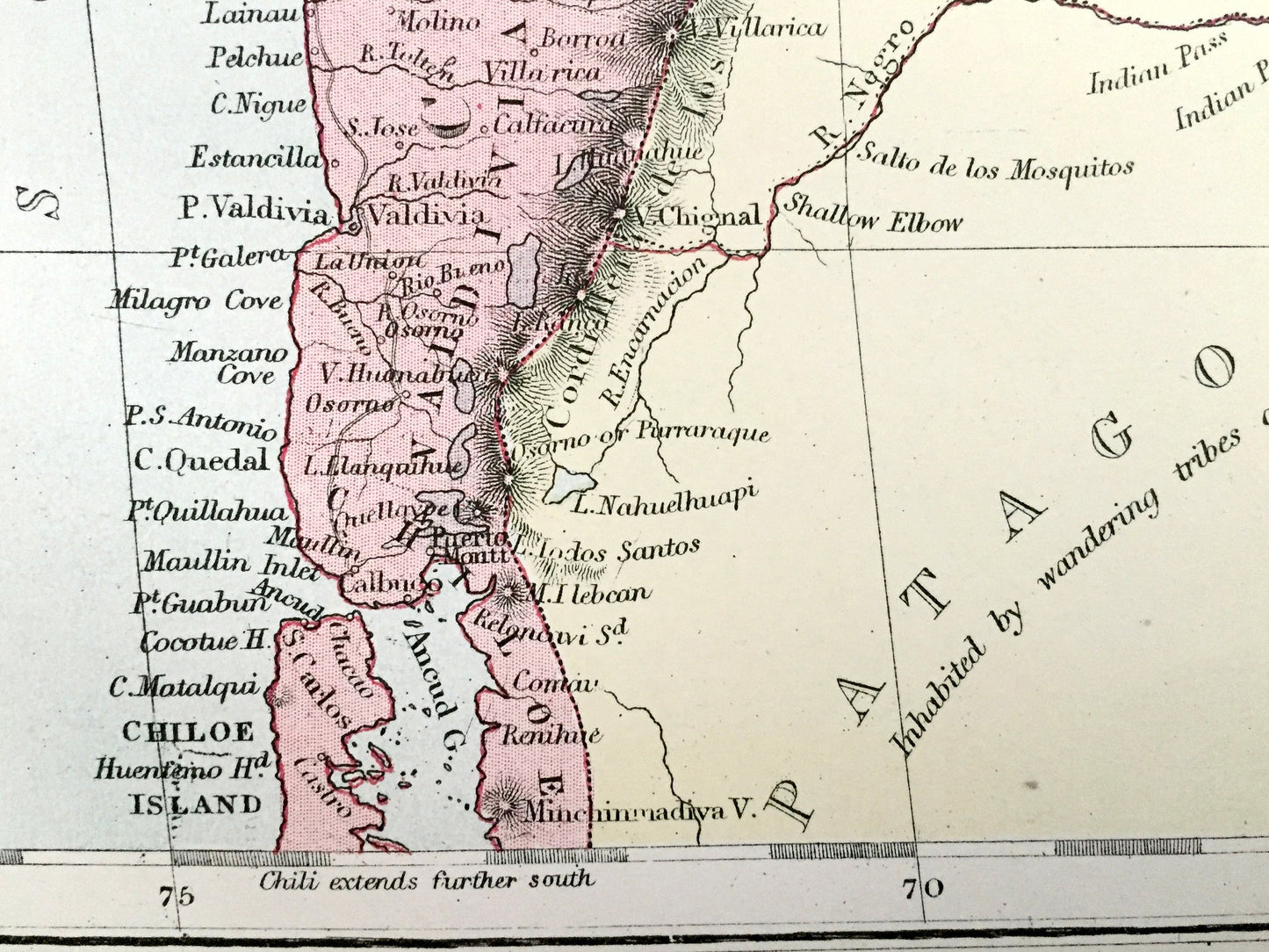
Beautiful, antique map of South America, including Chile and Argentina. This is an authentic 1888 lithograph from A & C Black's "General Atlas of the World" and NOT a computer reproduction.
See what Uruguay, Argentina, Paraguay & Chile looked like over 130 years ago. Lots of charming, intricate details and contours, including mountains, islands, rivers, cities and countries. Verso is blank.
Perfect for the historian, map-lover, the curious or just as a conversation starter. Wonderful and rare. Vintage maps such as these make great gifts.
Edition of 1888, printed 1888
Dimensions: 13" width x 17 3/4" height
----
Features
Points of Interest: Chile, Argentina, Bolivia, Uruguay, Paraguay, Brazil, Patagonia, Santiago, Valparaíso, Chiloé Island, Antofagasta, Valdivia, Buenos Aires, Córdoba, Rosario, Bahía Blanca, Montevideo, Asunción, South Atlantic Ocean, South Pacific Ocean, Andes Mountains, Uruguay River, Salado River, Paraguay River, Tropic of Capricorn, Río de la Plata, Paraná River, San Matías Gulf, and many more.
----
Condition: Very Good Vintage condition, commensurate with age. This map is in incredible shape for being over 130 years old. The paper quality is strong and the colors bright bright. Has light wear, but this will all read as vintage character when framed.
----
We will happily adjust shipping price for multiple purchases. Maps are rolled up and shipped in sturdy mailing tubes, never folded.
Couldn't load pickup availability
Share