My Store
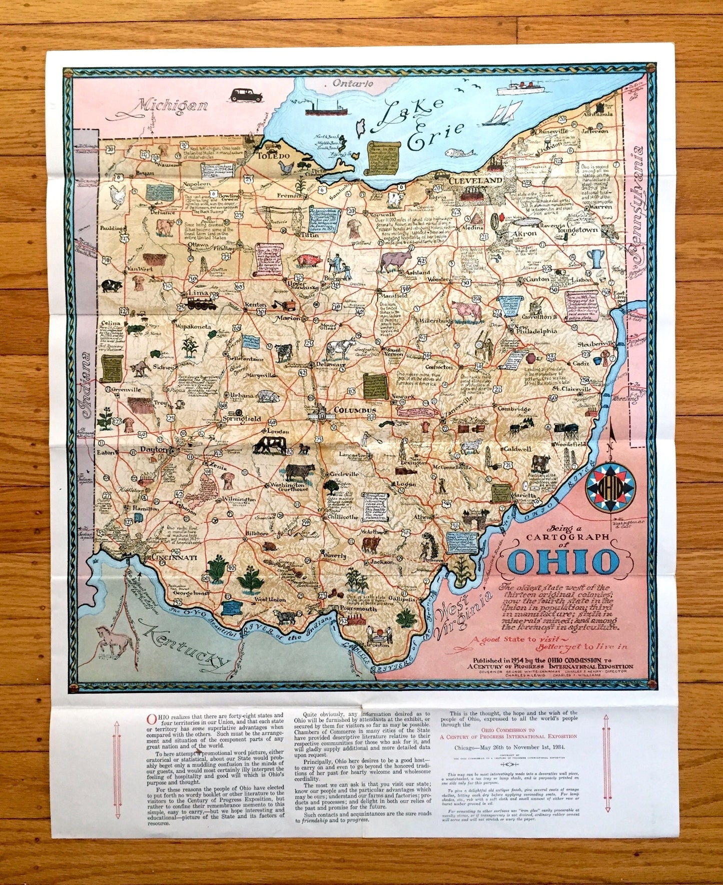
Antique 1934 Ohio State Cartographic Centennial Map – Columbus, Cleveland, Cincinnati, Akron, Dayton, Toledo, Chagrin Falls, Youngstown, OH
Antique 1934 Ohio State Cartographic Centennial Map – Columbus, Cleveland, Cincinnati, Akron, Dayton, Toledo, Chagrin Falls, Youngstown, OH
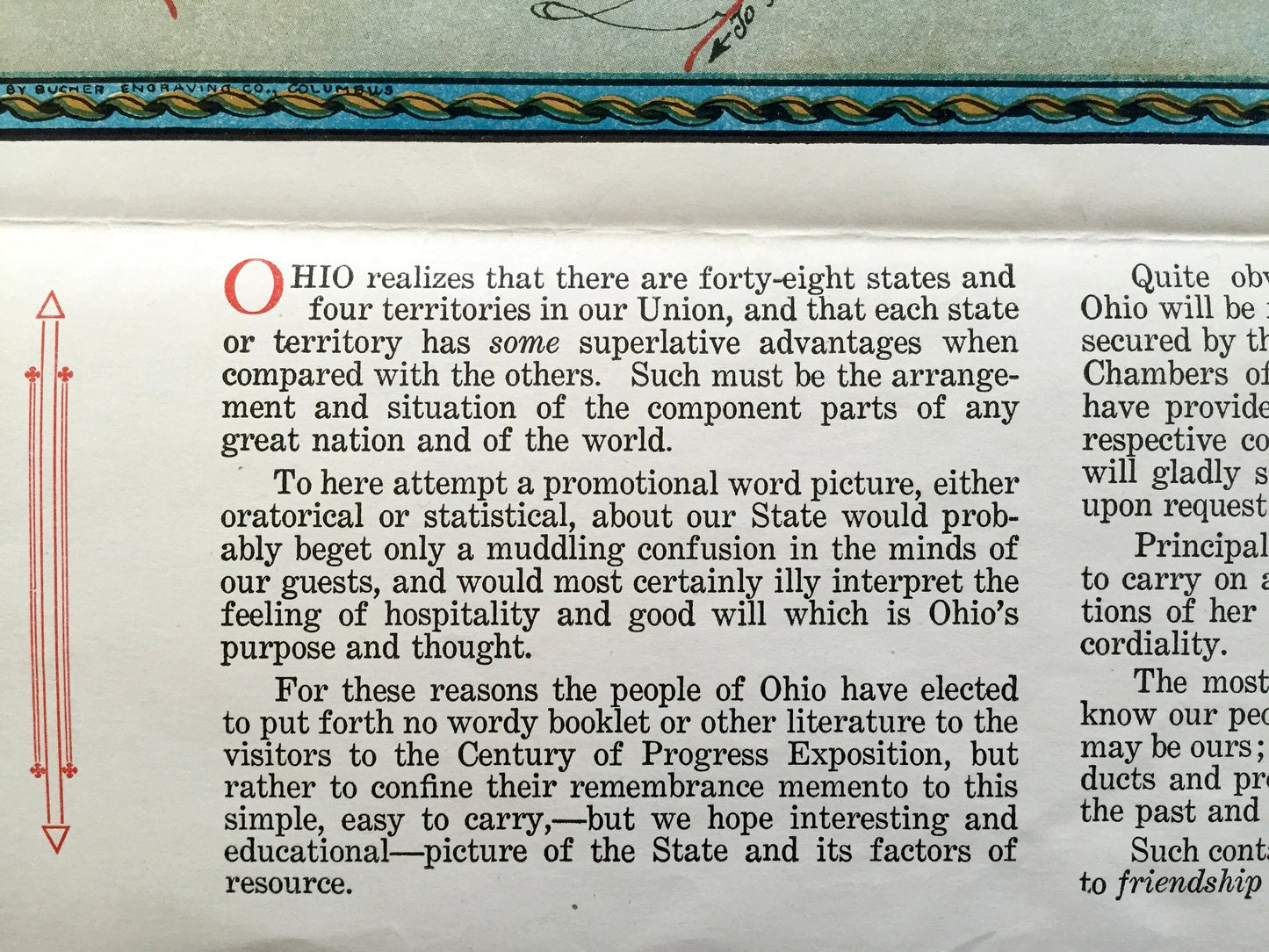
Beautiful, antique cartographic map of Ohio, engraved by Bucher Engraving, and published by The Ohio Commission to a Century of Progress International Exhibition in 1934 in honor of Ohio's centennial. This is an authentic print and is NOT a computer reproduction.
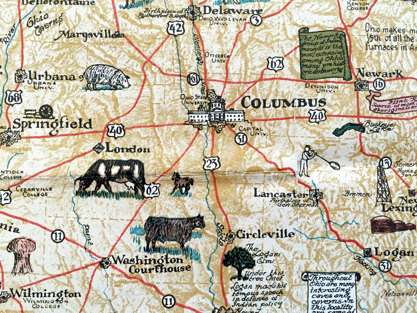
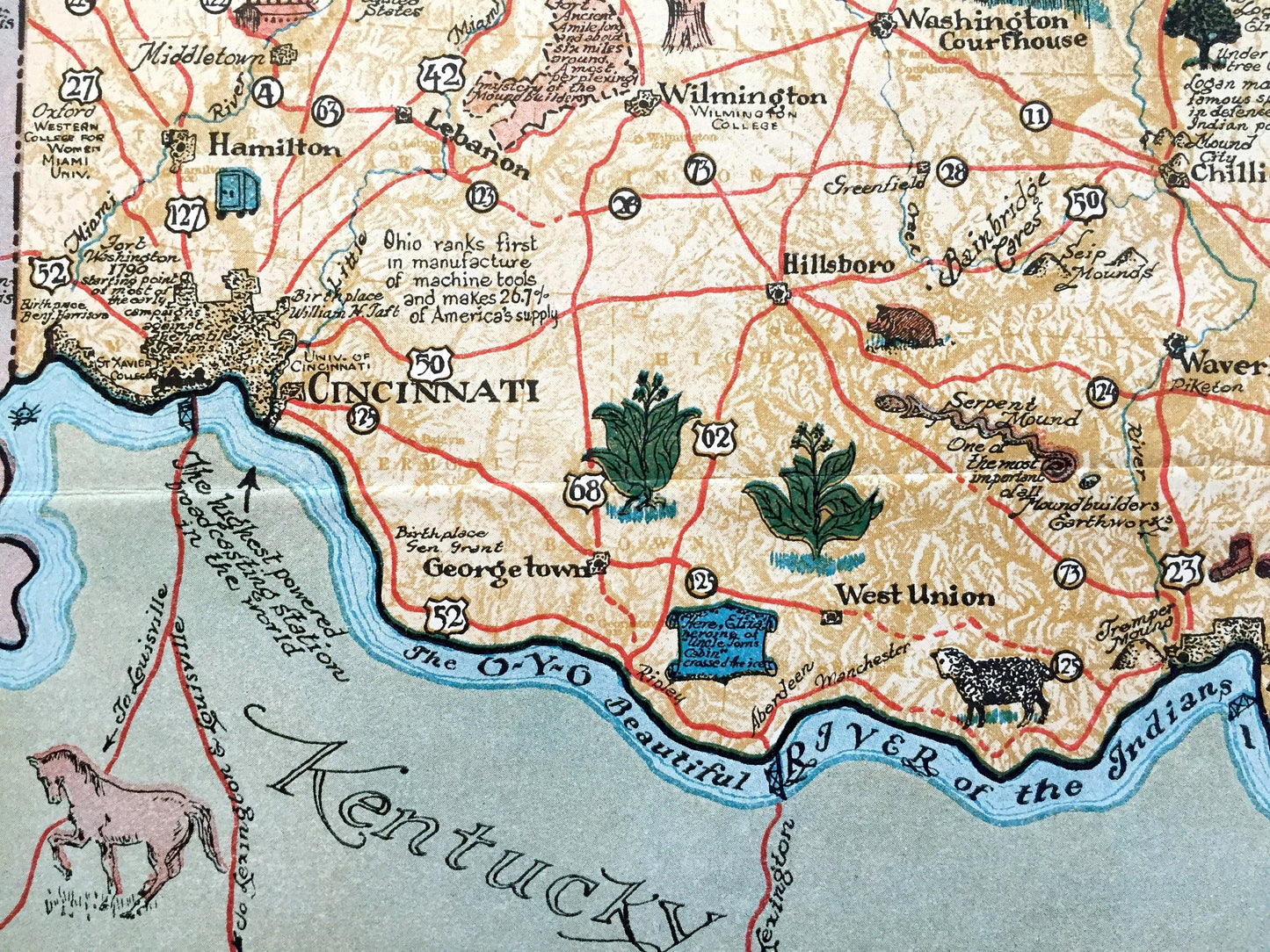
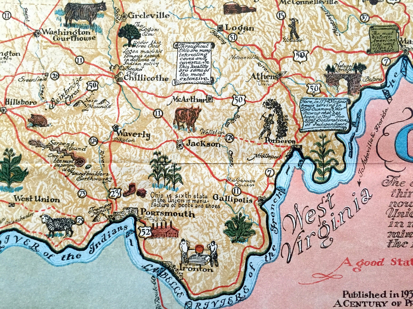
See how Ohio looked like 90 years ago in vivid, colorful illustrations. Lots of charming, intricate illustrations and details, decorative border and geological contours, including industries of the state, mountains, islands, canals and rivers. Verso is blank.
Perfect for the historian, map-lover, the curious or just as a conversation starter. Wonderful and rare. Vintage maps such as these make great gifts.
Edition of 1934, printed 1934
Dimensions: 19" width x 24" height
----
Condition: Good Vintage condition, commensurate with age. This map is in great shape for being 90 years old. Light wear, scuffing and foxing, and folds as-issued, but these will flatten easily and all will read as vintage character when framed.
----
We will happily adjust shipping price for multiple purchases. Maps are rolled up and shipped in sturdy mailing tubes, never folded.
Couldn't load pickup availability
Share