My Store
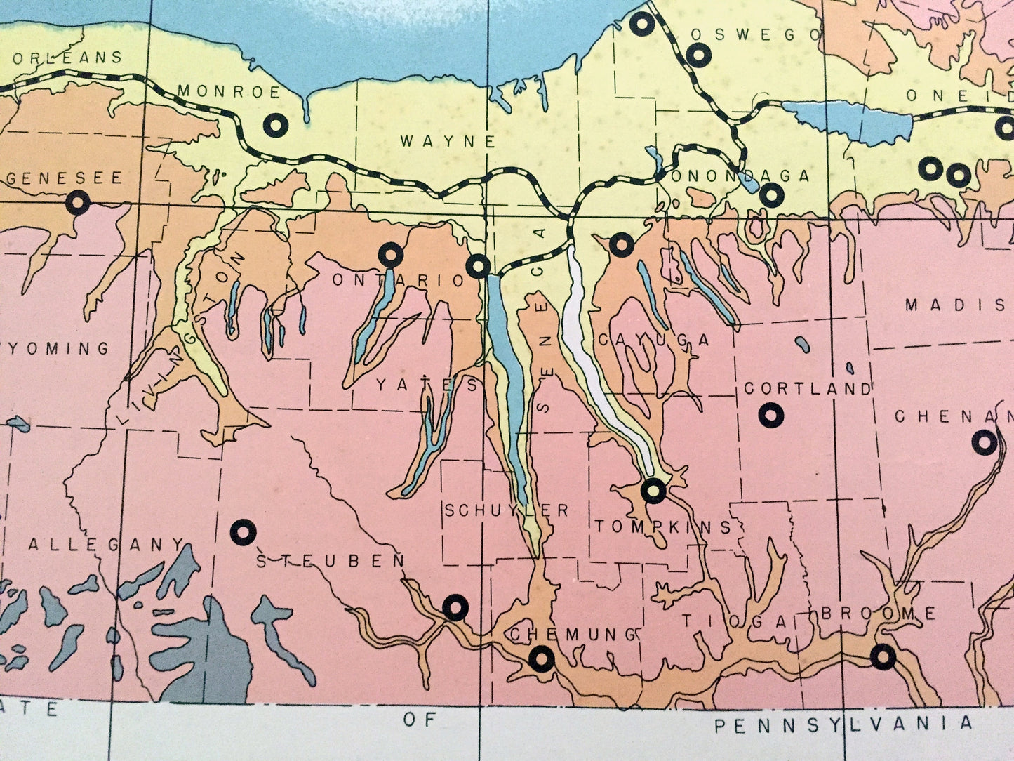
Antique 1941 New York Geographical Map from WP Munger's Historical Atlas of New York State – Manhattan, Long Island, Adirondacks, NYC NY
Antique 1941 New York Geographical Map from WP Munger's Historical Atlas of New York State – Manhattan, Long Island, Adirondacks, NYC NY
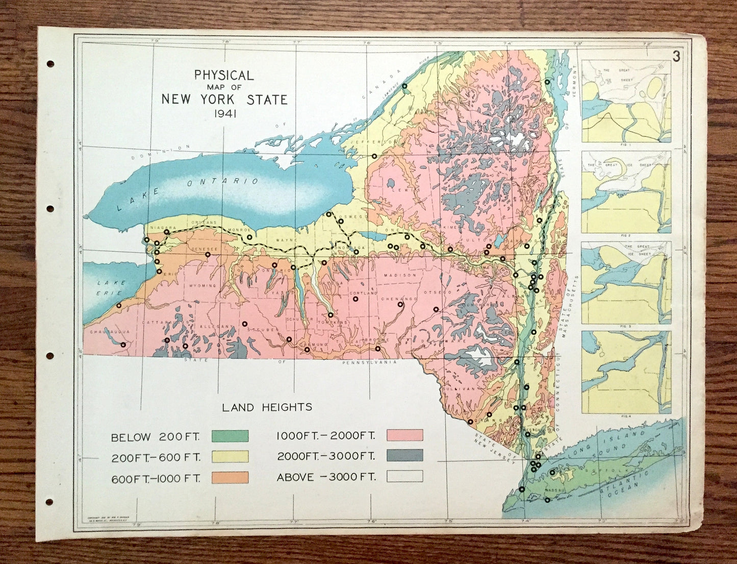
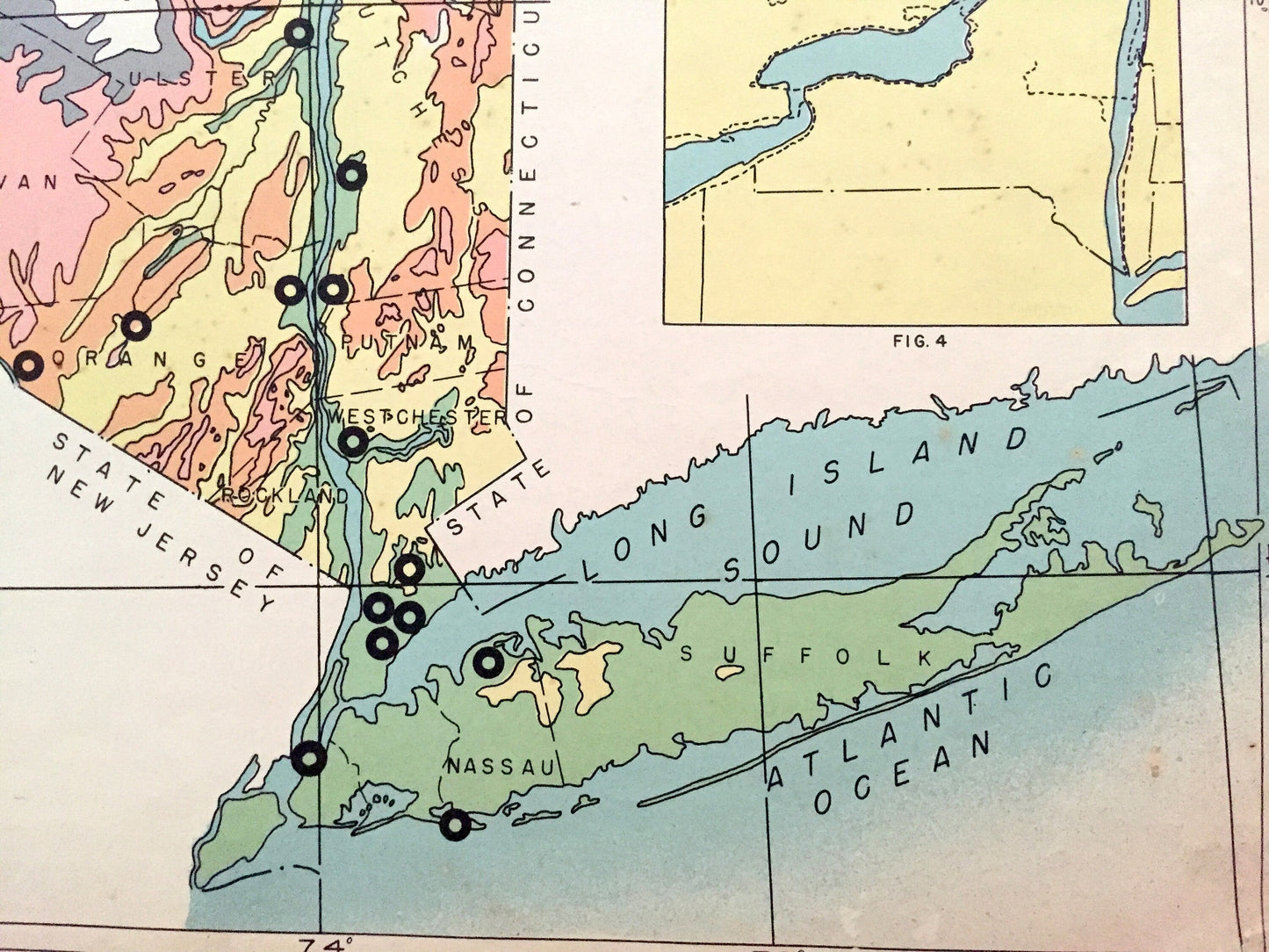
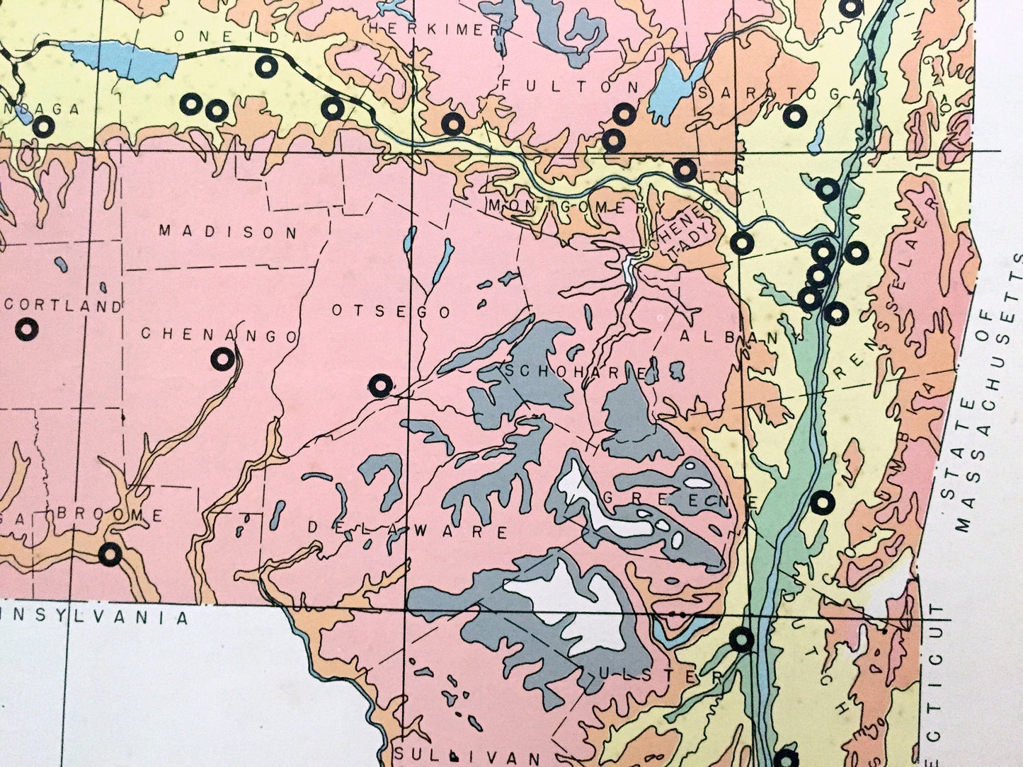
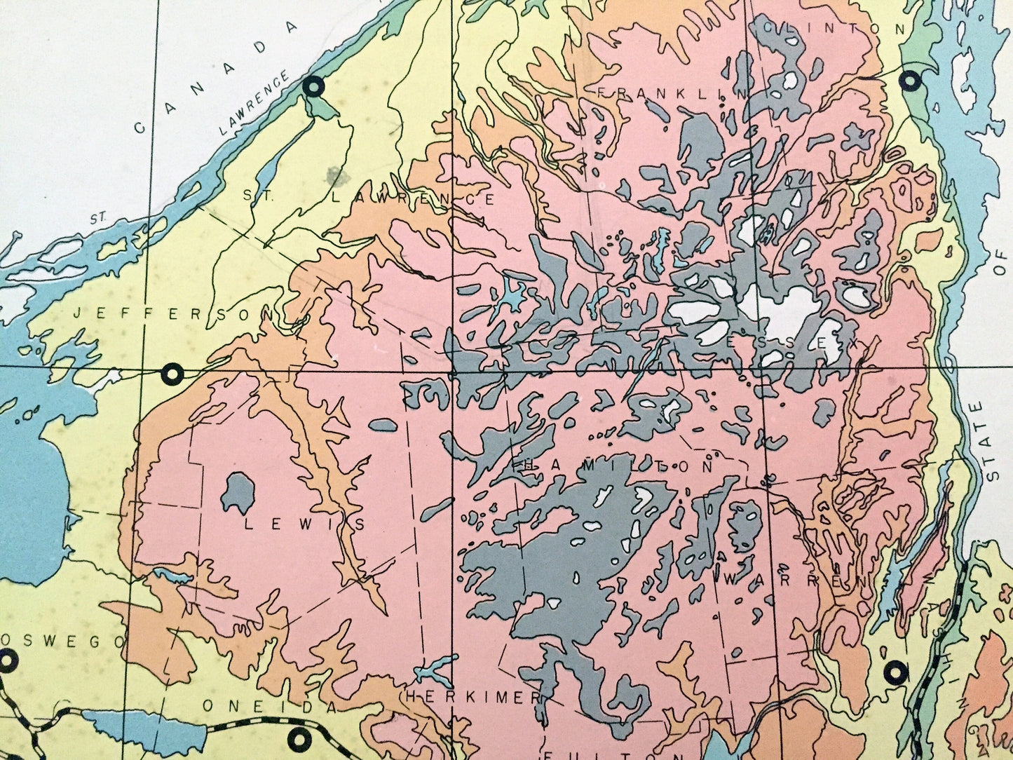
Beautiful, antique physical map of the Land Heights of New York State, including four insets of the Great Ice Sheet at different historical points over New York. This is an authentic map taken from the rare "Historical Atlas of New York State," published in 1941 by Frank E. Richards Co., and is NOT a computer reproduction. The reverse side is a geological history of the state and the canal system.
Perfect for the historian, map-lover, the curious or just as a conversation starter. Wonderful and rare. Vintage maps such as these make great gifts.
Edition of 1941, printed 1941
Dimensions: 22" width x 16 1/2" height
----
Condition: Good or "Very Vintage" condition, commensurate with age. This print is in great shape for being over 80 years old. Has some wear, foxing, toning, and holes in margin where the print was removed from atlas, but this will all add to vintage character when framed.
(Images of atlas cover for information purposes only and not included.)
----
We will happily adjust shipping price for multiple purchases. Prints are rolled up and shipped in sturdy mailing tubes, never folded.
Couldn't load pickup availability
Share