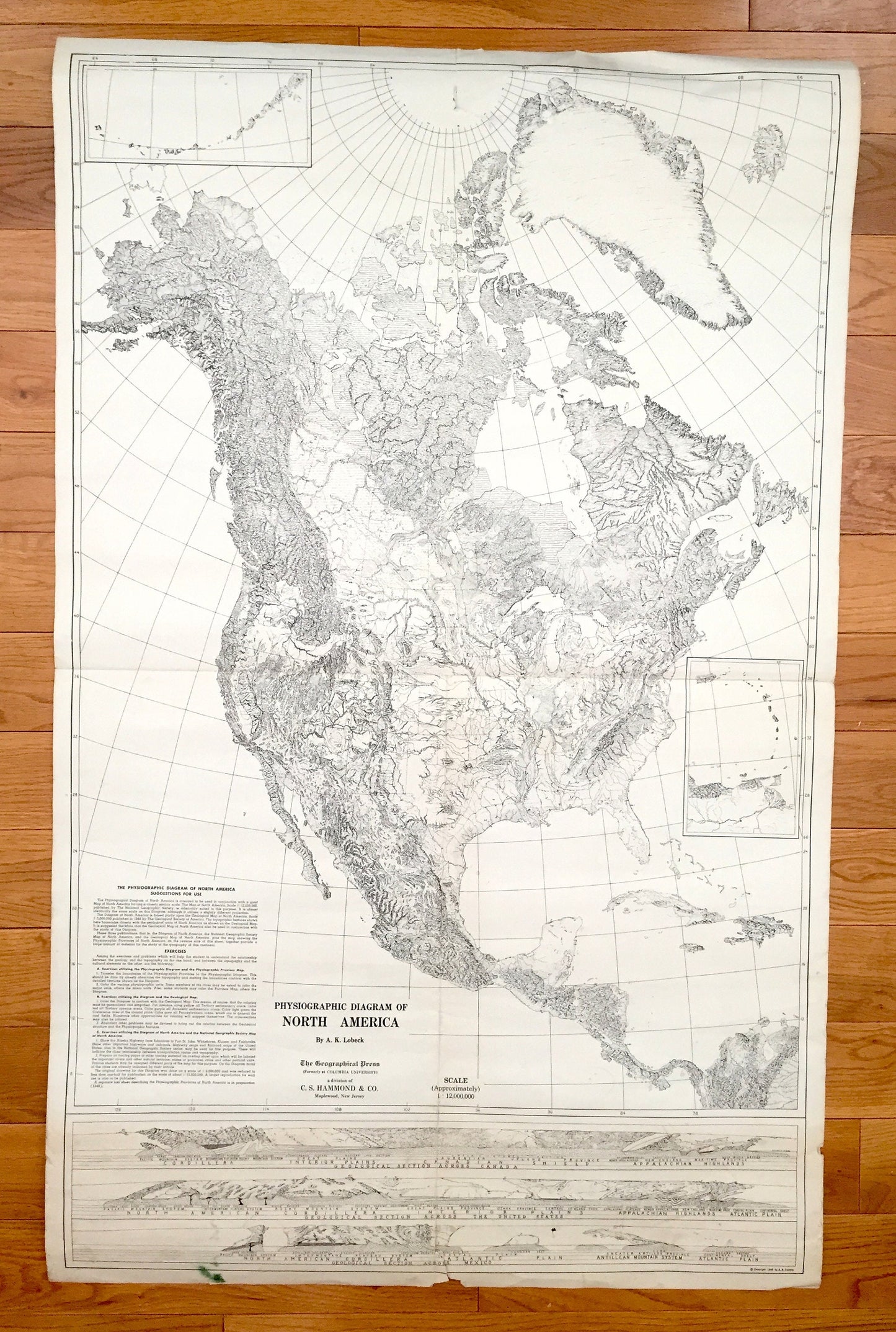
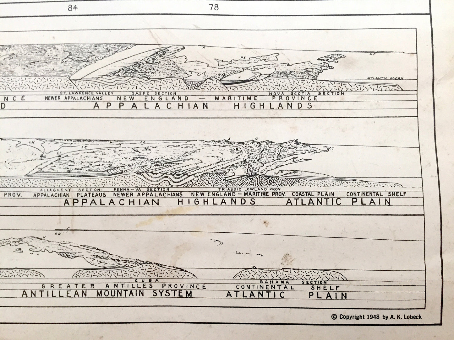
Beautiful, antique double-sided Physiographic map of North America. This is an authentic map from The Geographical Press (formerly of Columbia University) published in 1948 and NOT a computer reproduction.
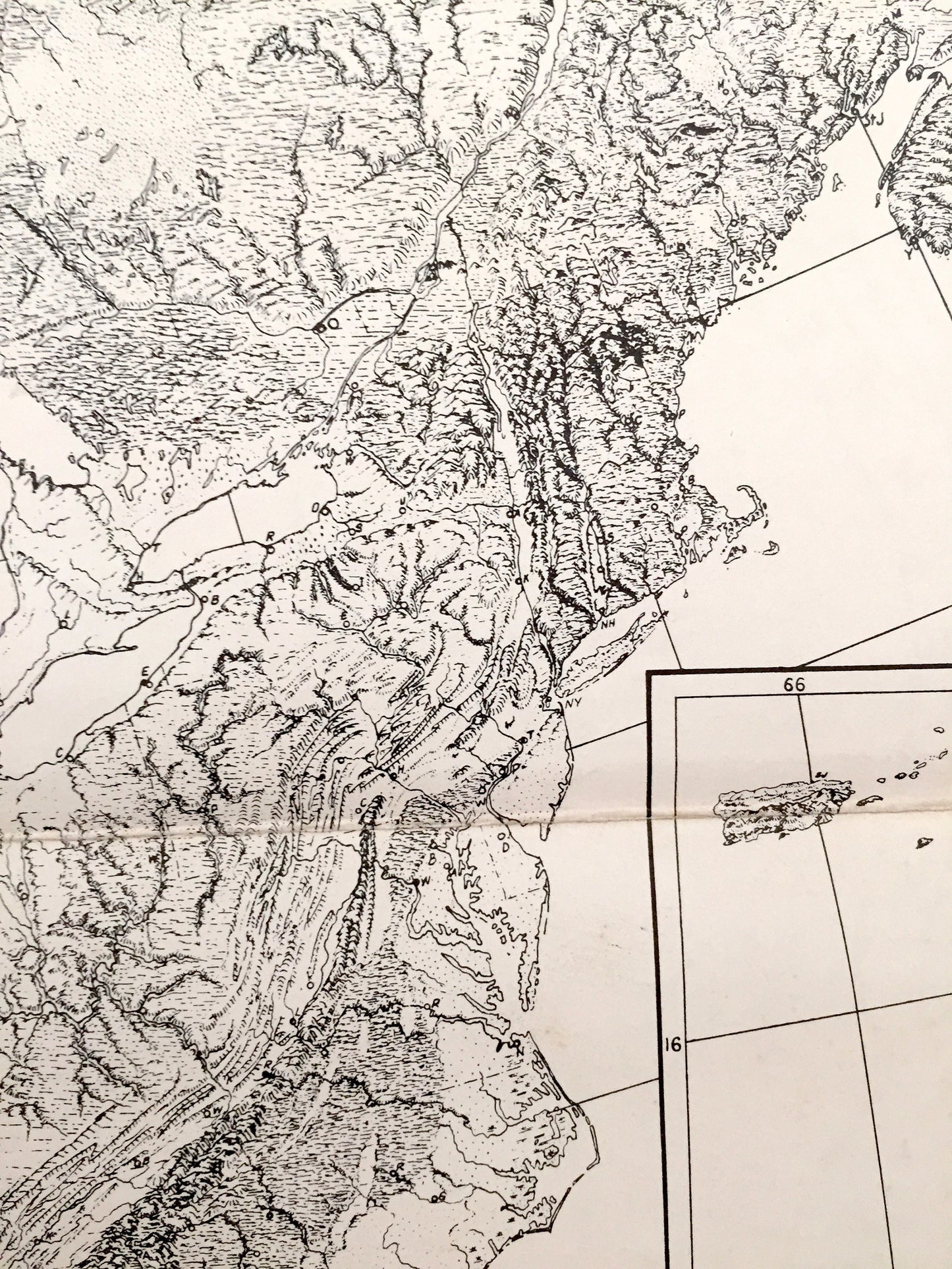
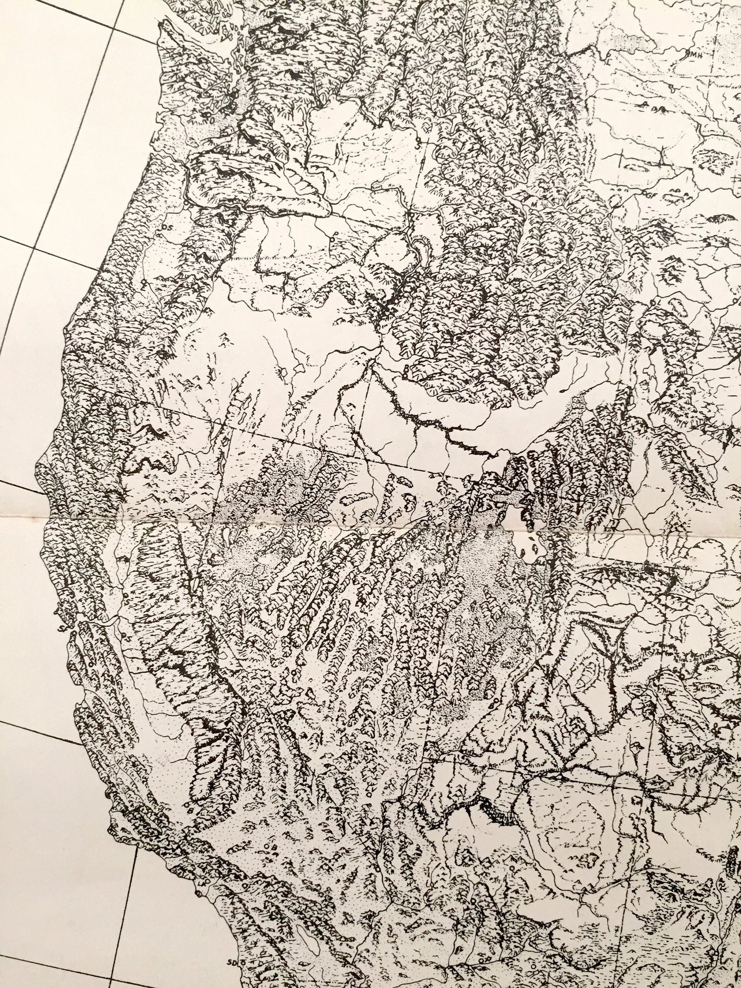
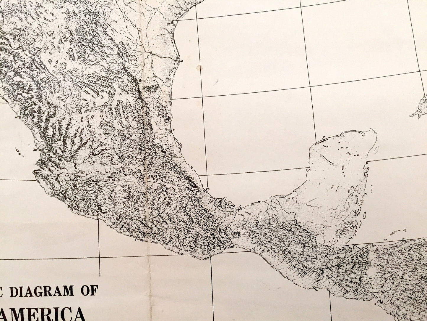
See what the North America looked like more than 70 years ago. Lots of charming, intricate details and contours, including physiographic provinces, mountains, rivers, lakes and place names.
Perfect for the historian, map-lover, the curious or just as a conversation starter. Wonderful and rare. Vintage maps such as these make great gifts.
Edition of 1948, printed 1948
Dimensions: 24" width x 38" height
----
Condition: Good Vintage condition, commensurate with age. This map is in great shape for being over 70 years old. Has edge-wear, but this will add to vintage character and its authenticity when framed.
----
We will happily adjust shipping price for multiple purchases. Maps are rolled and shipped fully-insured in sturdy mailing tubes, never folded.