My Store
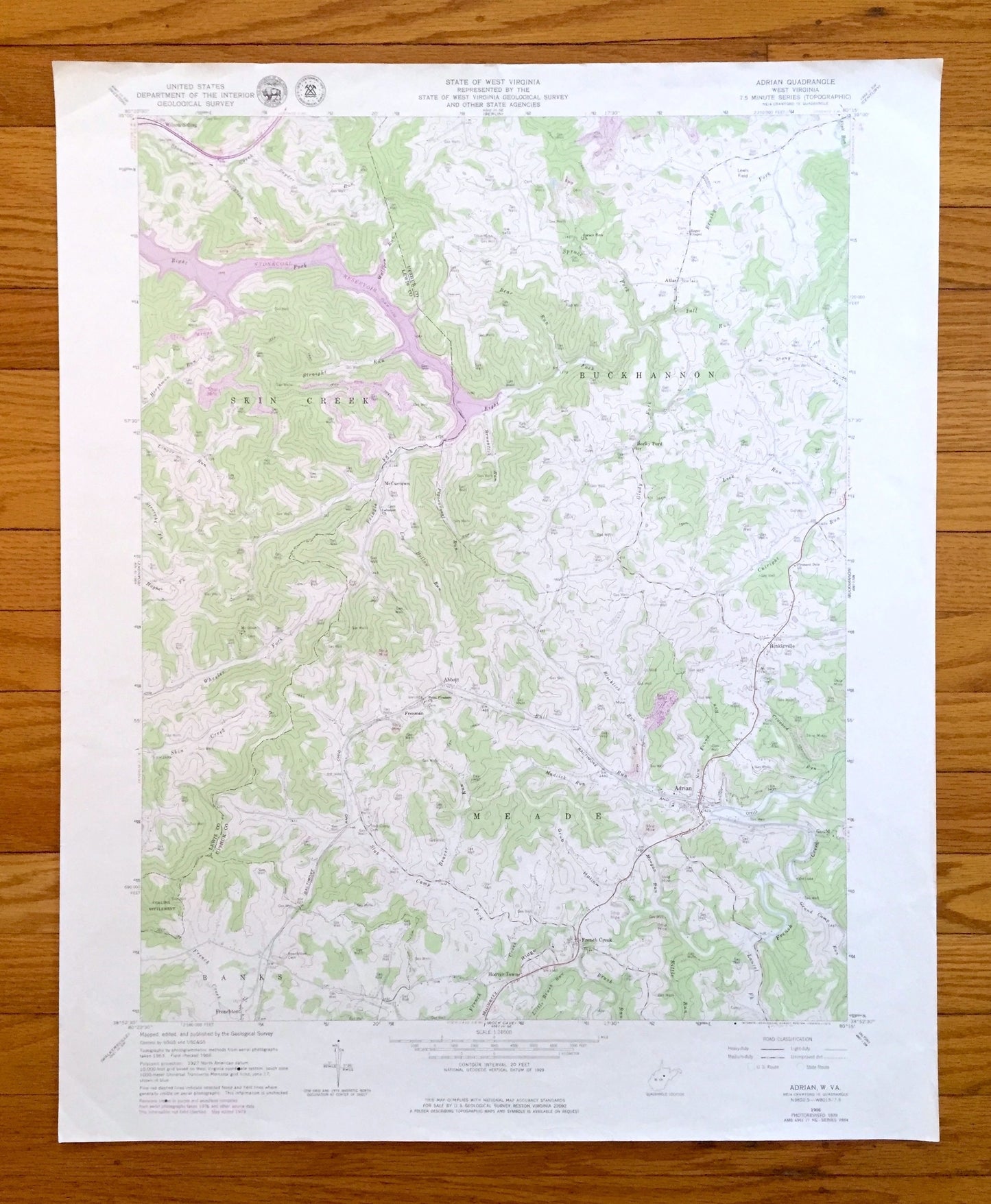
Antique Adrian, West Virginia 1966 US Geological Survey Topographic Map – Upshur, Lewis County, Atlas, French Creek, Frenchton, Lake, WV
Antique Adrian, West Virginia 1966 US Geological Survey Topographic Map – Upshur, Lewis County, Atlas, French Creek, Frenchton, Lake, WV
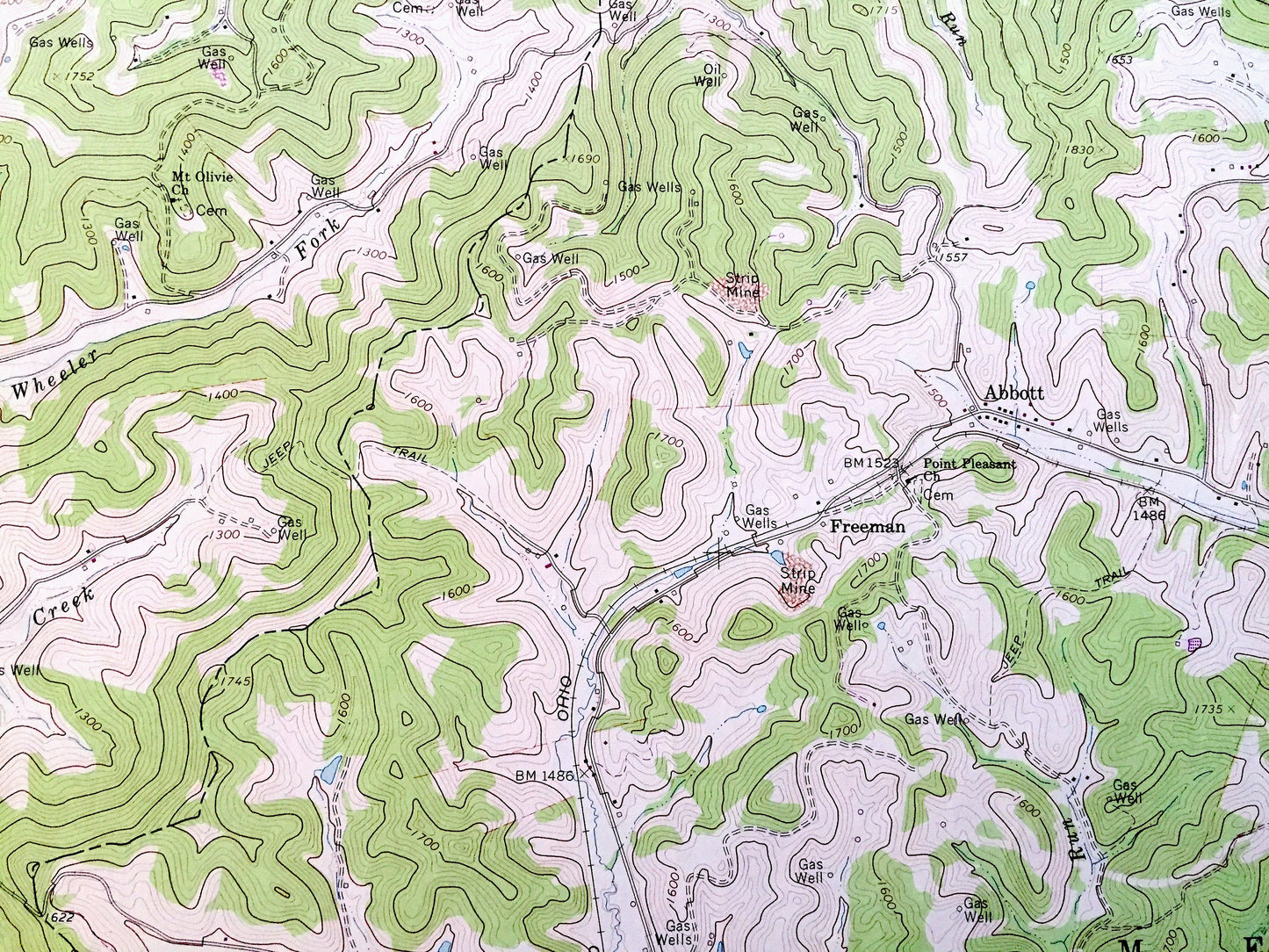
Beautiful, antique map of Adrian, West Virginia and surrounding Upshur County & Lewis County area. This is an authentic 1966 edition, 1979 print from the U.S. Geological Survey and NOT a computer reproduction.
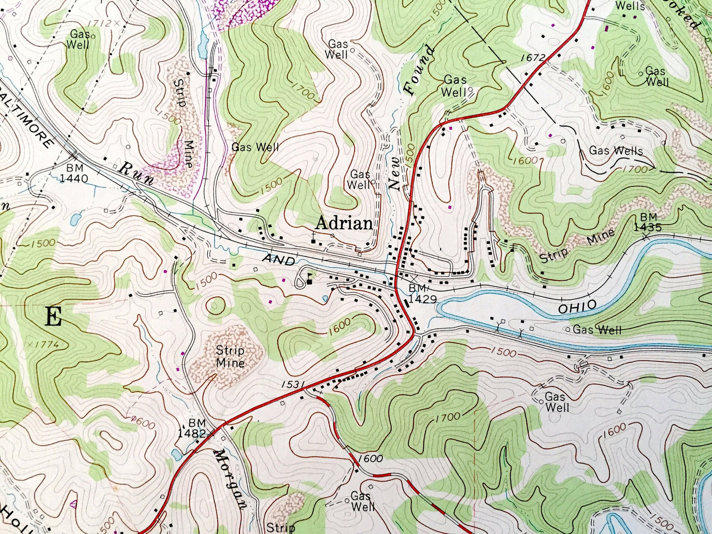
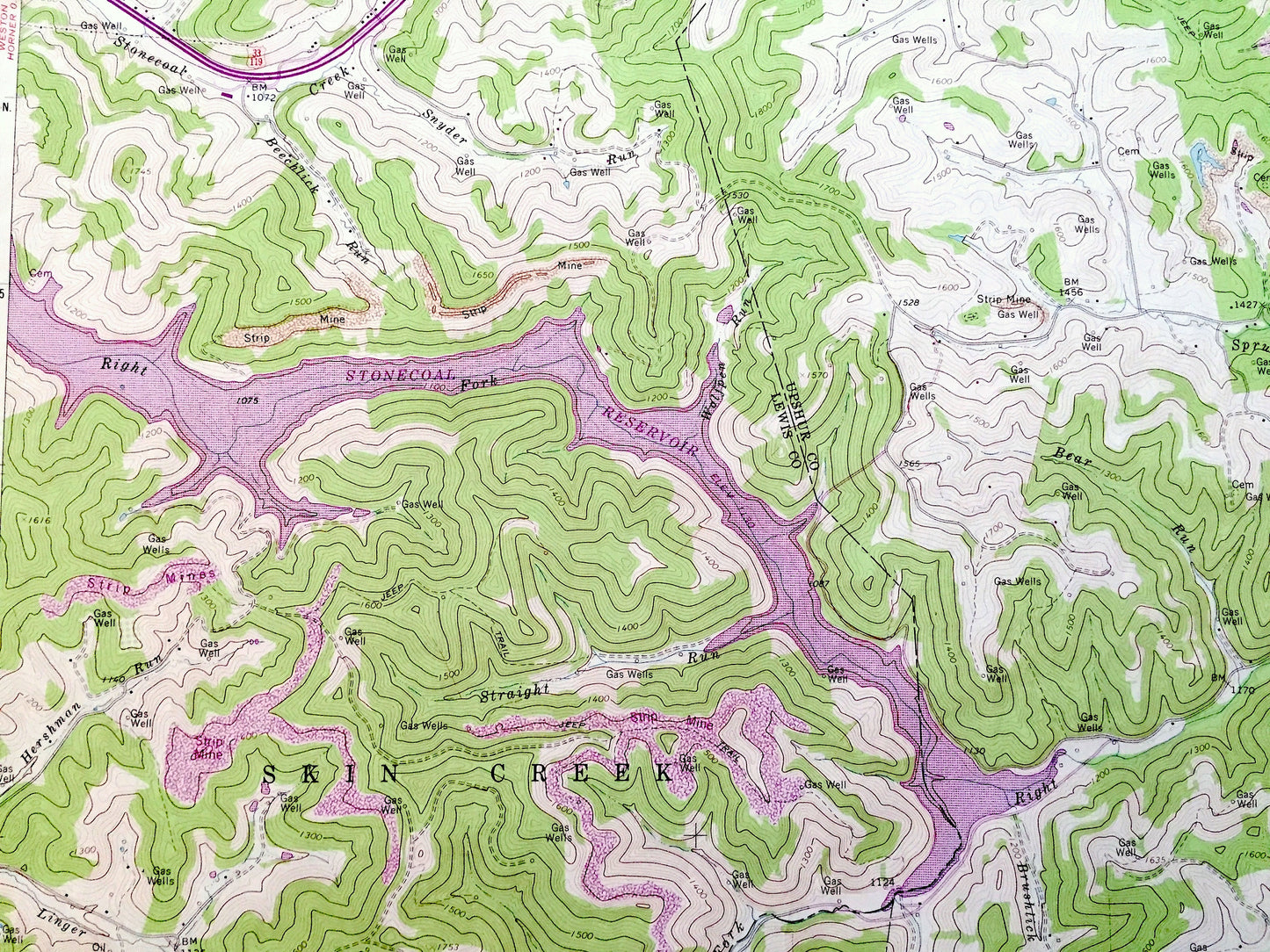
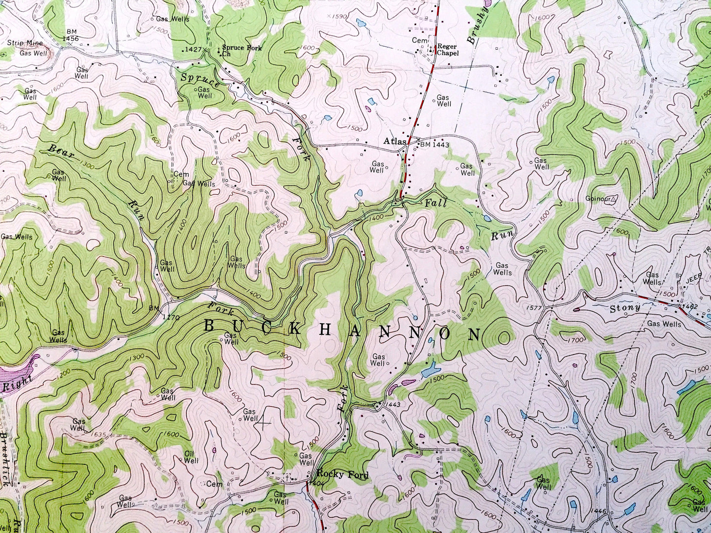
See what West Virginia looked like over 55 years ago. Lots of intricate details and geological contours. Map even has little squares for every house that existed at the time. The USGS cartographers were very thorough back then!
Perfect for the historian, map-lover, the curious or just as a conversation starter. Wonderful and rare. Vintage maps such as these make great gifts.
Edition of 1966, printed 1979
Dimensions: 22" width x 27" height
----
Features
Cities & Towns: Adrian, Atlas, French Creek, Frenchton, Gould, Freeman, Abbott, Hinkleville, Rocky Ford, Skin Creek, Buckhannon, Meade, McCuetown, Banks, Hoover Town, Wilson Siding.
Points of Interest: Stonecoal Reservoir, French Creek, Skin Creek, Wheeler Fork, Pringle Fork, Straight Run, Stonecoal Creek, Bear Run, Glady Fork, Blacklick Run, Mulberry Ridge, Stony Run, Brushy Fork, and lots more hills, mountains, creeks, towns, roads and train tracks.
Condition: Good Vintage condition, commensurate with age. This map is in great shape for being over 40 years old. Has some light edge-wear, but this will read as vintage character when framed.
----
We will happily adjust shipping price for multiple purchases. Maps are rolled up and shipped in sturdy mailing tubes, never folded.
Couldn't load pickup availability
Share