My Store
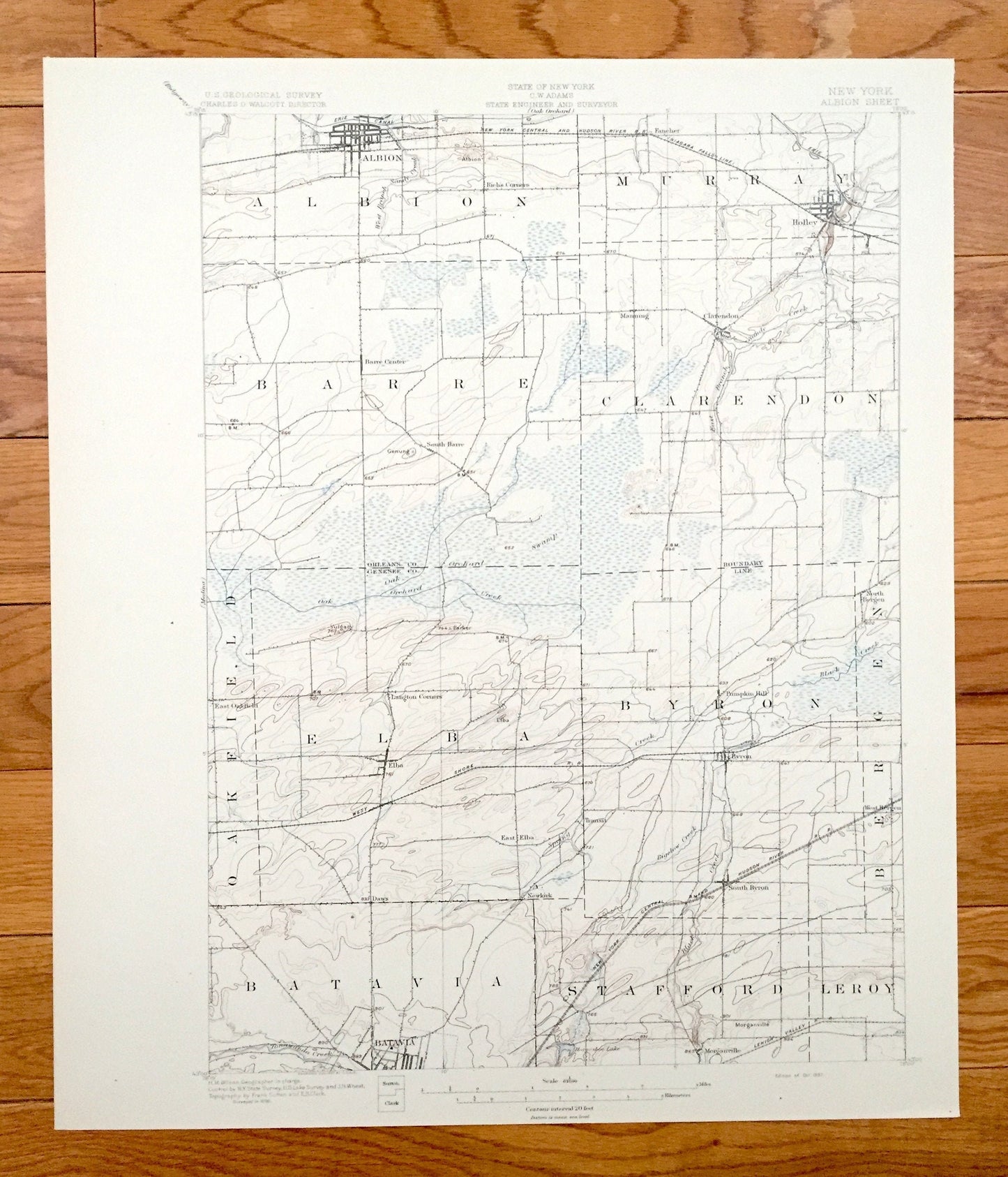
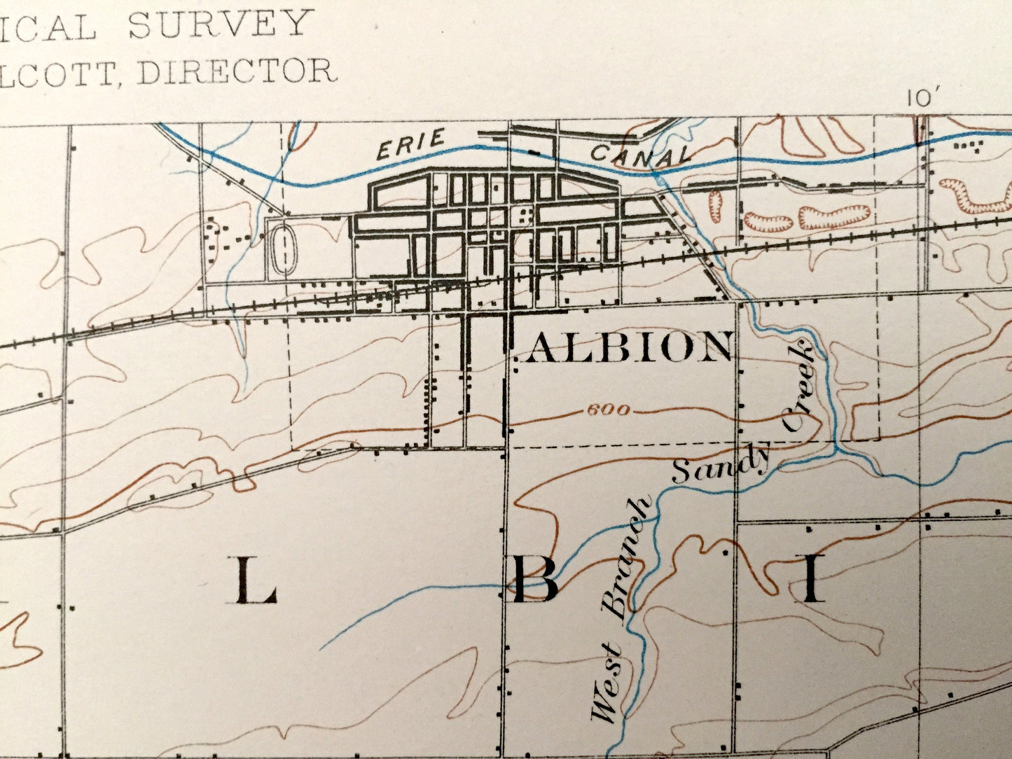
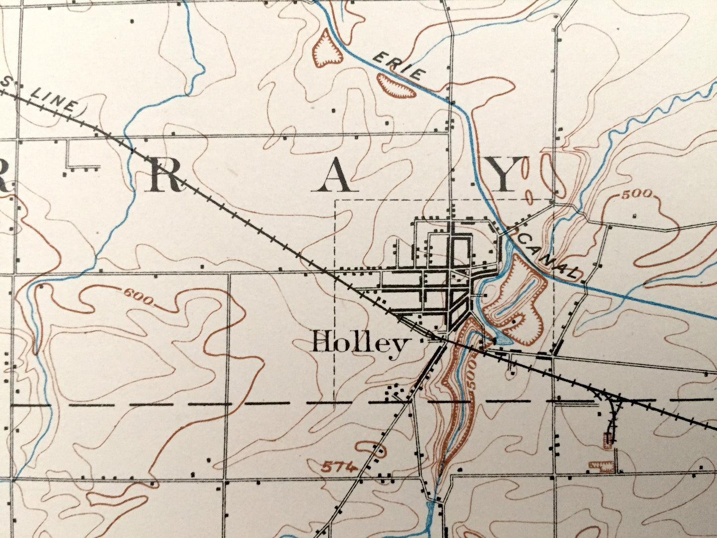
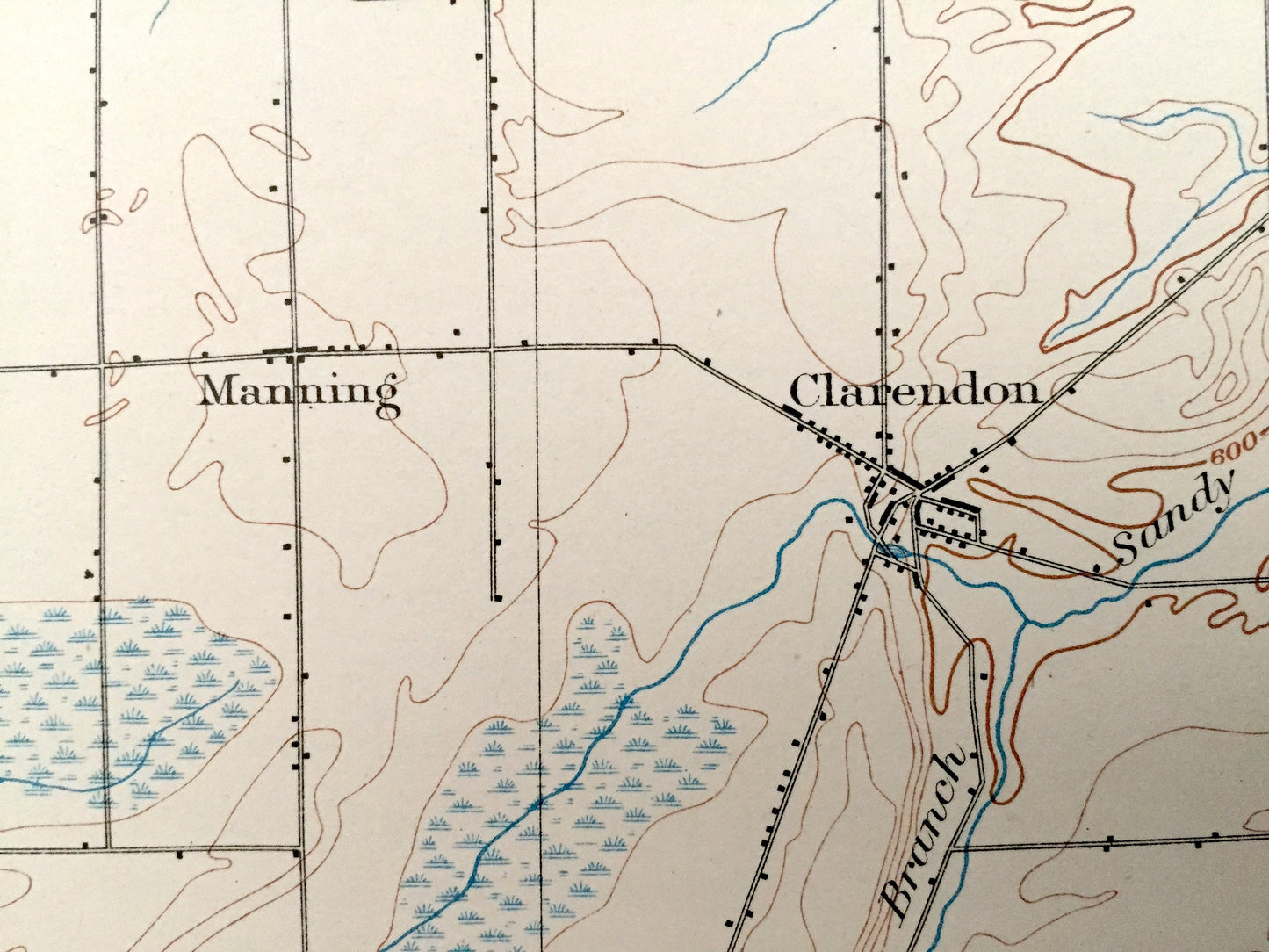
Antique Albion, New York 1897 US Geological Survey Topographic Map – Holley, Batavia, Genesee, Orleans County, Barre, Byron, Elba, Clarendon
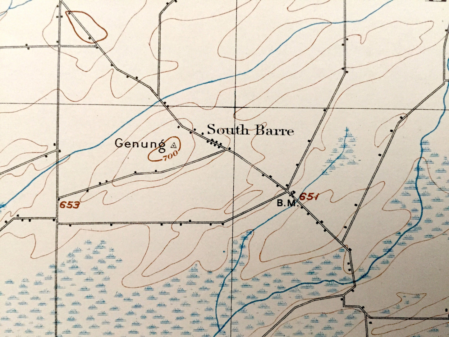
Antique Albion, New York 1897 US Geological Survey Topographic Map – Holley, Batavia, Genesee, Orleans County, Barre, Byron, Elba, Clarendon
Beautiful, antique map of Albion, New York and surrounding Orleans & Genesee County area. This is an authentic 1897 print from the U.S. Geological Survey and NOT a computer reproduction.
See what New York looked like more than 120 years ago. Lots of intricate details and geological contours. Map even has little squares for every house that existed. The USGS cartographers were very thorough back then! On the back is a description of topographic symbols and map guide.
Perfect for the historian, map-lover, the curious or just as a conversation starter. Wonderful and rare. Vintage maps such as these make great gifts.
Edition of 1897, Printed 1897
Dimensions: 16 1/2" width x 19 1/2" height
----
Features
Cities & Towns: Albion, Murray, Barre, Clarendon, Oakfield, Elba, Byron, Bergen, Batavia, Stafford, Leroy, Fancher, Holley, Manning, Pumpkin Hill, Daws, Newkirk, Transit, Morganville.
Points of Interest: Genesee County, Orleans County, Oak Orchard Creek, Bigelow Creek, Horseshoe Lake, New York Central and Hudson River Railroad, and many more hills, streams, ponds, houses, roads and railroads.
Condition: Very Good condition, commensurate with age. This map is in incredible shape for being more than 120 years old. An exceedingly well-preserved print.
----
We will happily adjust shipping price for multiple purchases. Maps are rolled up and shipped in sturdy mailing tubes, never folded.
Couldn't load pickup availability
Share