My Store
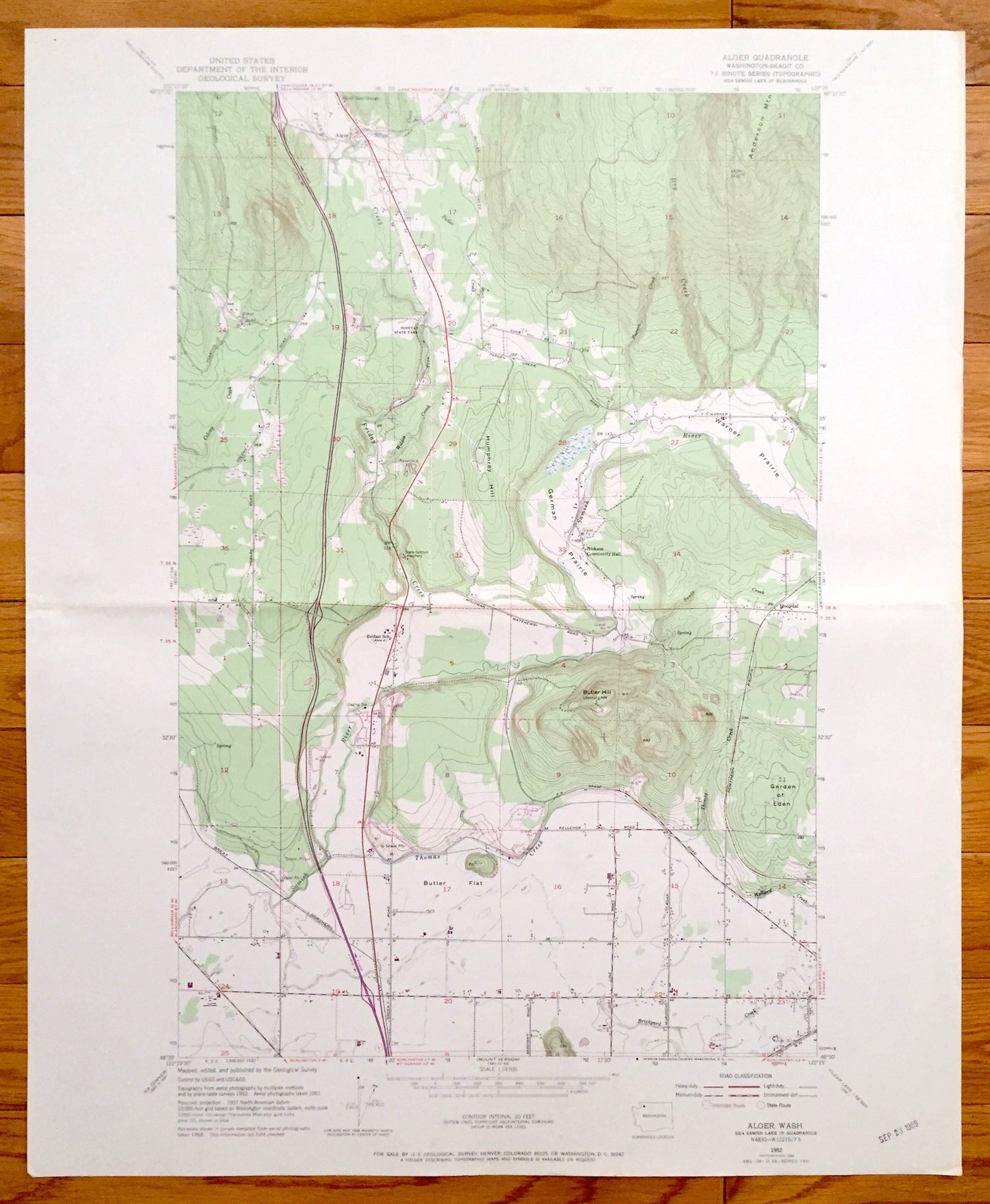
Antique Alger, Washington 1952 US Geological Survey Topographic Map – Hoogdal, Skagit County, Donovan State Park, Colony Creek, Samish River
Antique Alger, Washington 1952 US Geological Survey Topographic Map – Hoogdal, Skagit County, Donovan State Park, Colony Creek, Samish River
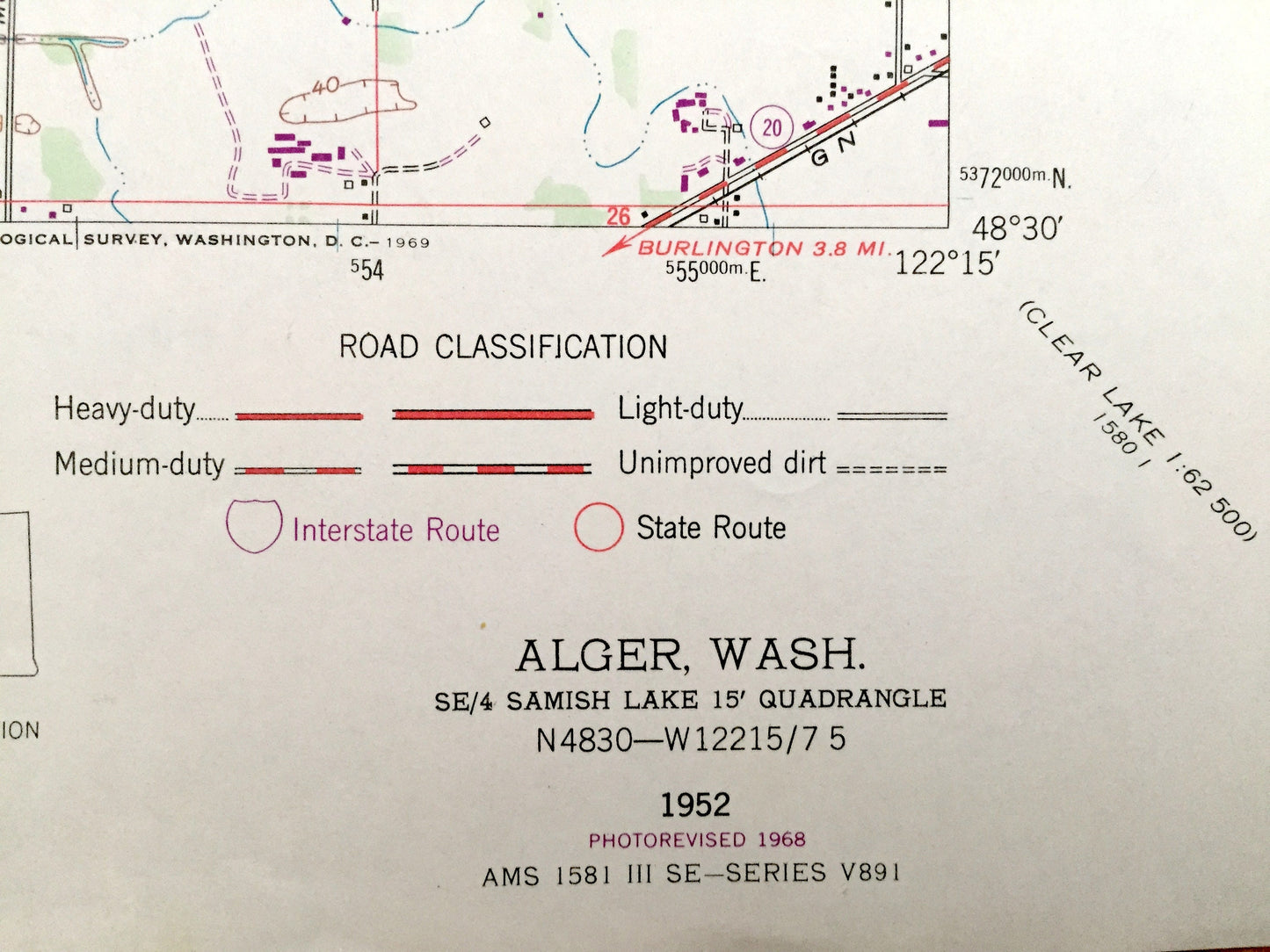
Beautiful, antique map of Alger, Washington and surrounding Skagit County area. This is an authentic 1952 edition, 1968 print from the U.S. Geological Survey and NOT a computer reproduction.
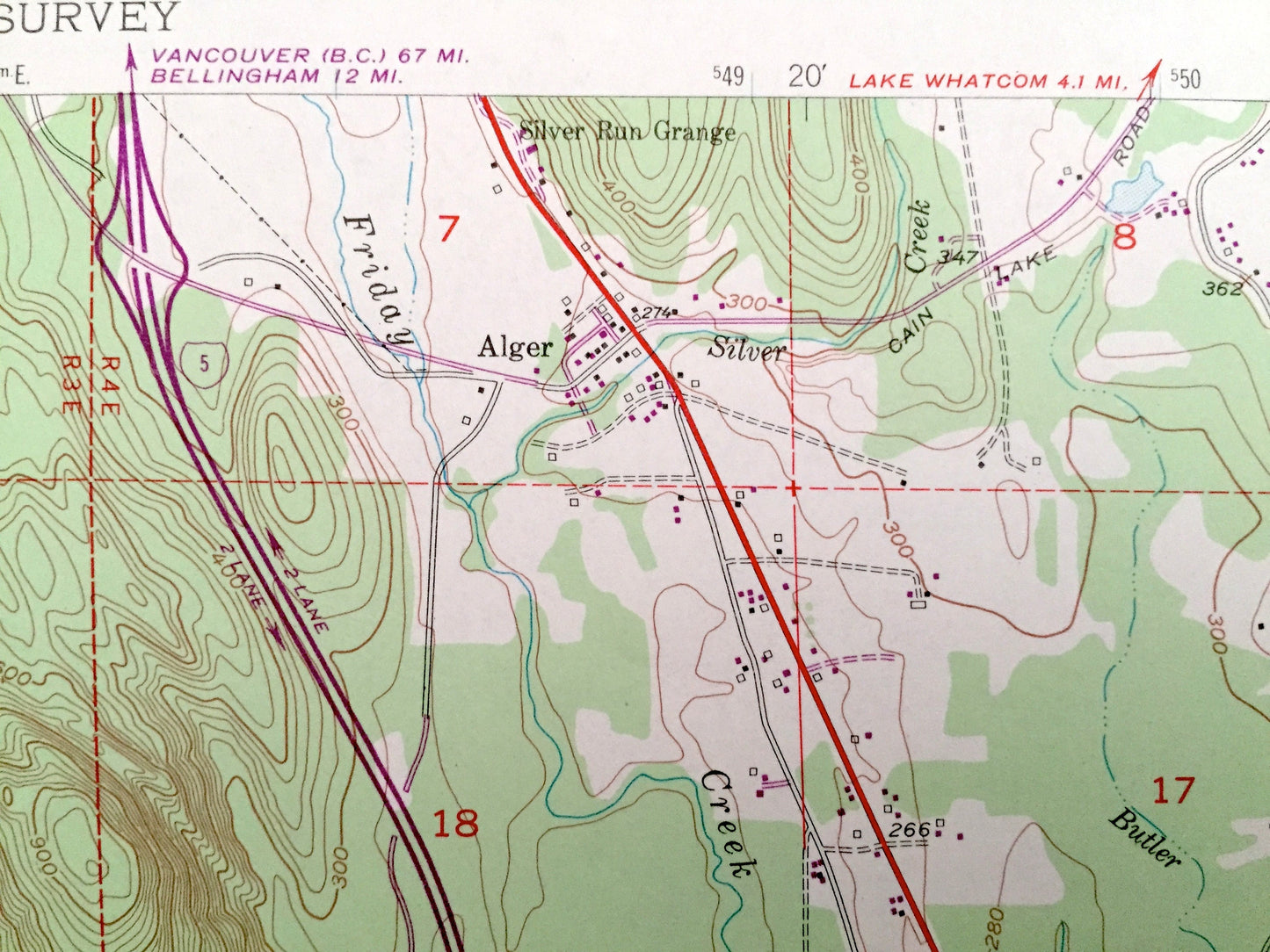
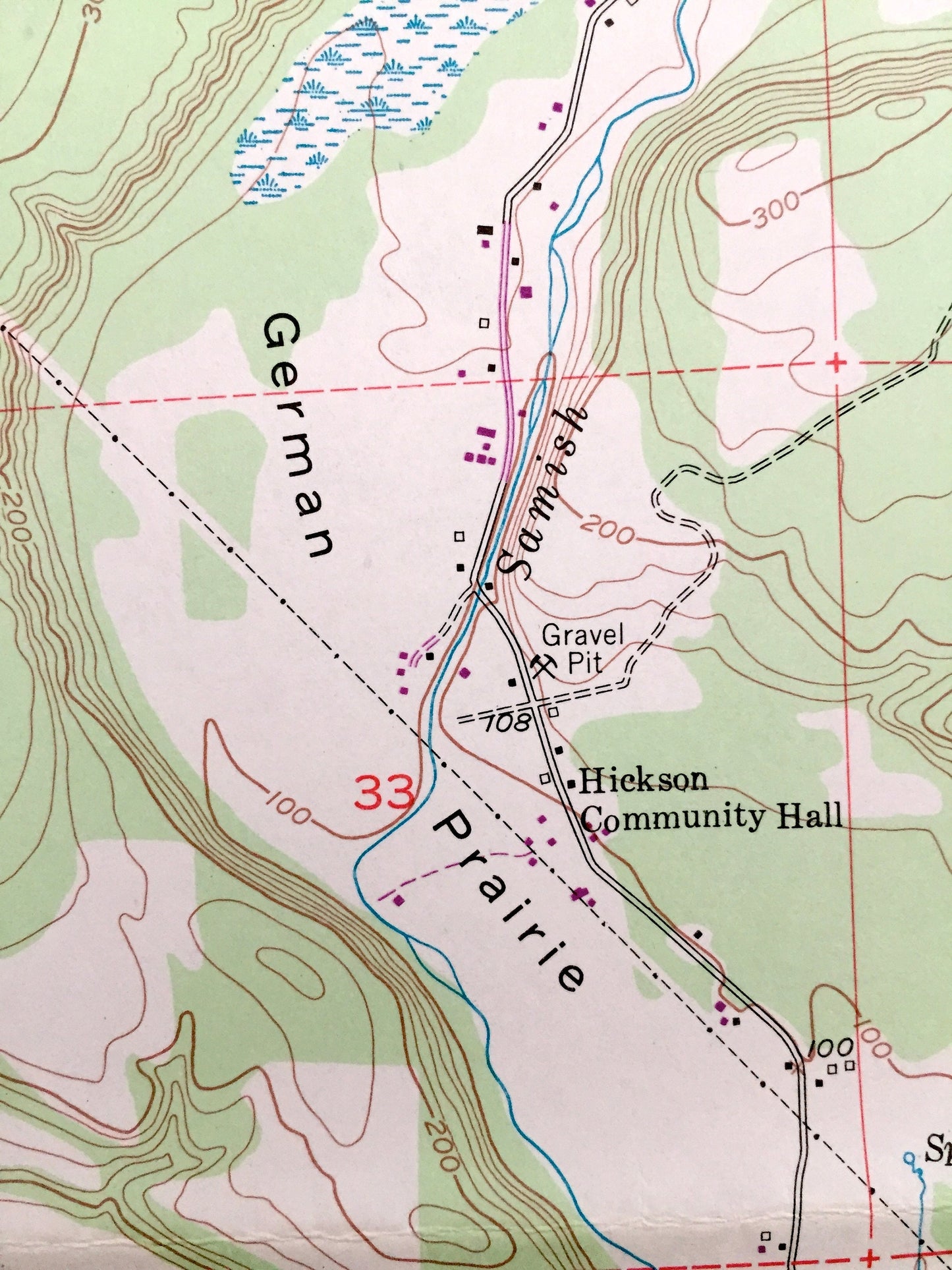
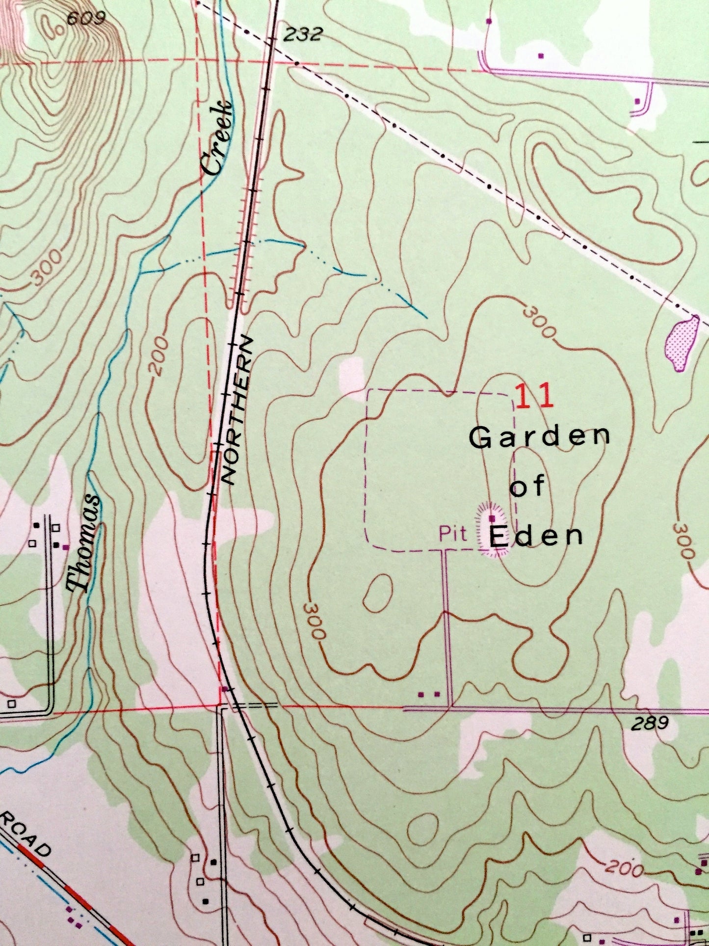
See what Washington State looked like 65 years ago. Lots of intricate details and geological contours. Map even has little squares for every house that existed at the time. The USGS cartographers were very thorough back then!
Perfect for the historian, map-lover, the curious or just as a conversation starter. Wonderful and rare. Vintage maps such as these make great gifts.
Edition of 1952, printed 1968
Dimensions: 22" width x 27" height
----
Features
Cities & Towns: Hoogdal, Alger.
Points of Interest: Skagit County, Donovan State Park, Colony Creek, Samish River, Butler Flat, Thomas Creek, Butler Hill, German Prairie, Friday Creek, Wildes Creek, Anderson Mountain, Silver Run Grange, Butler Creek, Brickyard Creek, Wollard Creek, Swede Creek, Garden of Eden, Humphrey Hill, Parson Creek, Warner Prairie, and lots more hills, rivers, creeks, ponds, towns, schools, roads and train tracks.
Condition: Very Good condition, commensurate with age. This map is in incredible shape for being 50 years old. Has light edge-wear and one fold as issued, all of which will read as vintage character when framed.
----
We will happily adjust shipping price for multiple purchases. Maps are rolled up and shipped in sturdy mailing tubes, never folded.
Couldn't load pickup availability
Share