My Store
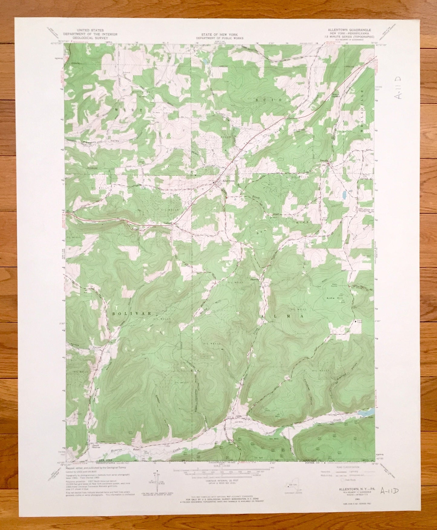
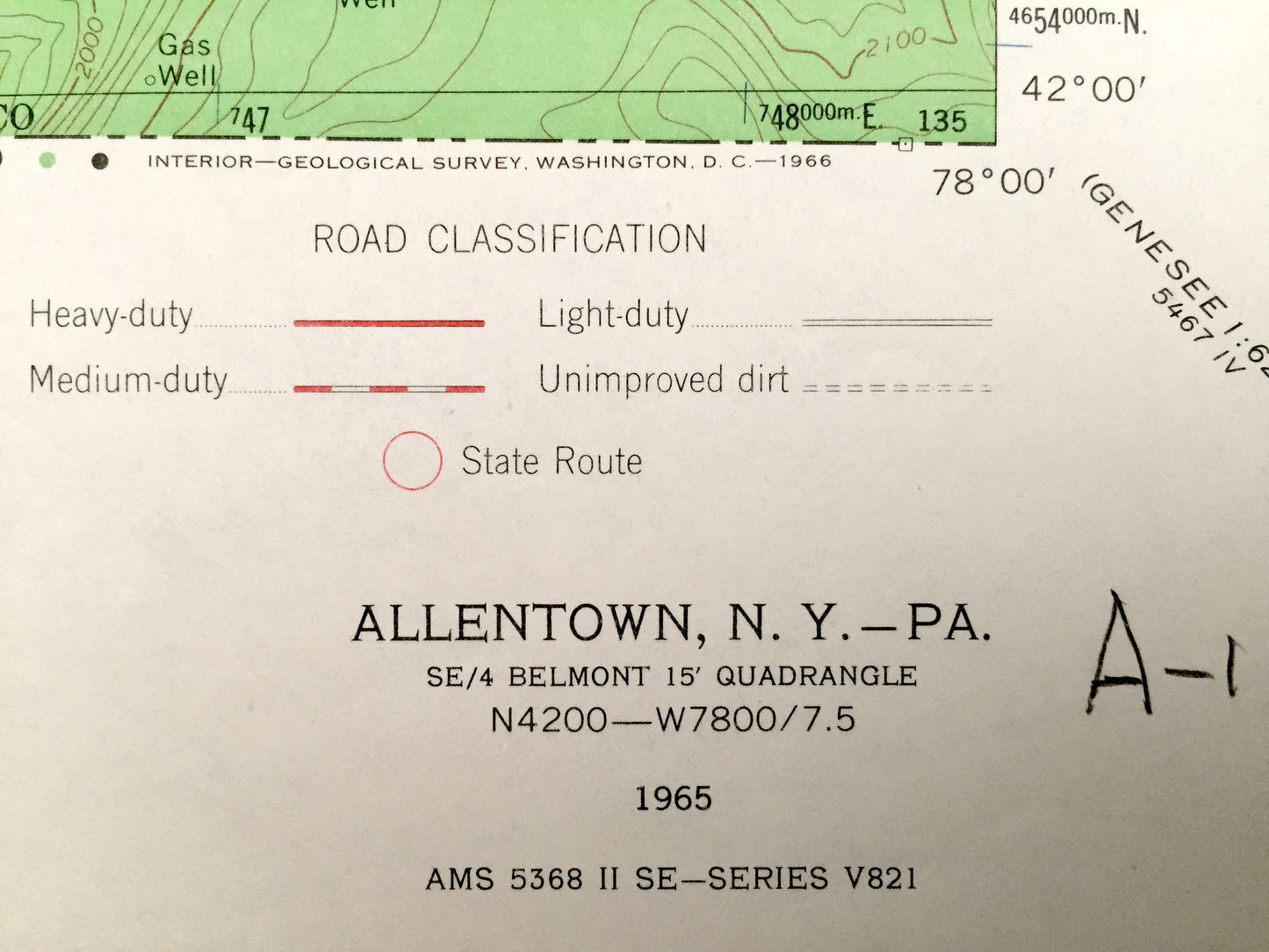
Antique Allentown, New York 1965 US Geological Survey Topographic Map – Pennsylvania, Allegany County, Vosburg, Sawyer Bolivar Hoben Alma NY
Antique Allentown, New York 1965 US Geological Survey Topographic Map – Pennsylvania, Allegany County, Vosburg, Sawyer Bolivar Hoben Alma NY
Beautiful, antique map of Allentown, New York and surrounding Pennsylvania and Allegany County area. This is an authentic 1965 print from the U.S. Geological Survey and NOT a computer reprint.
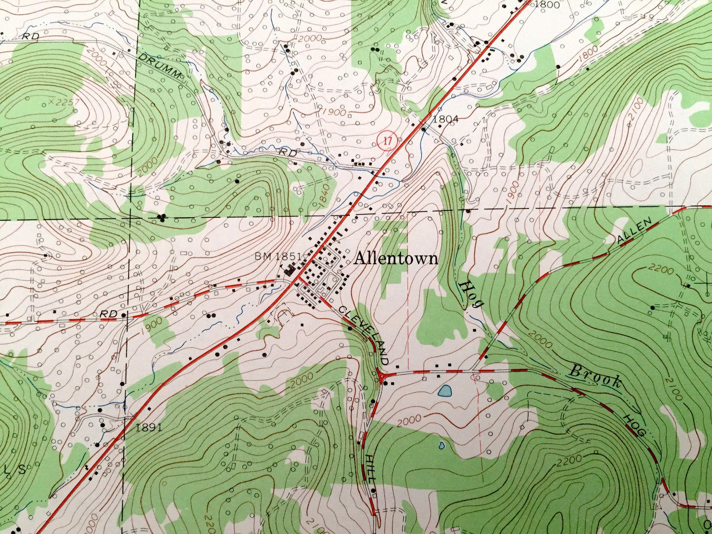
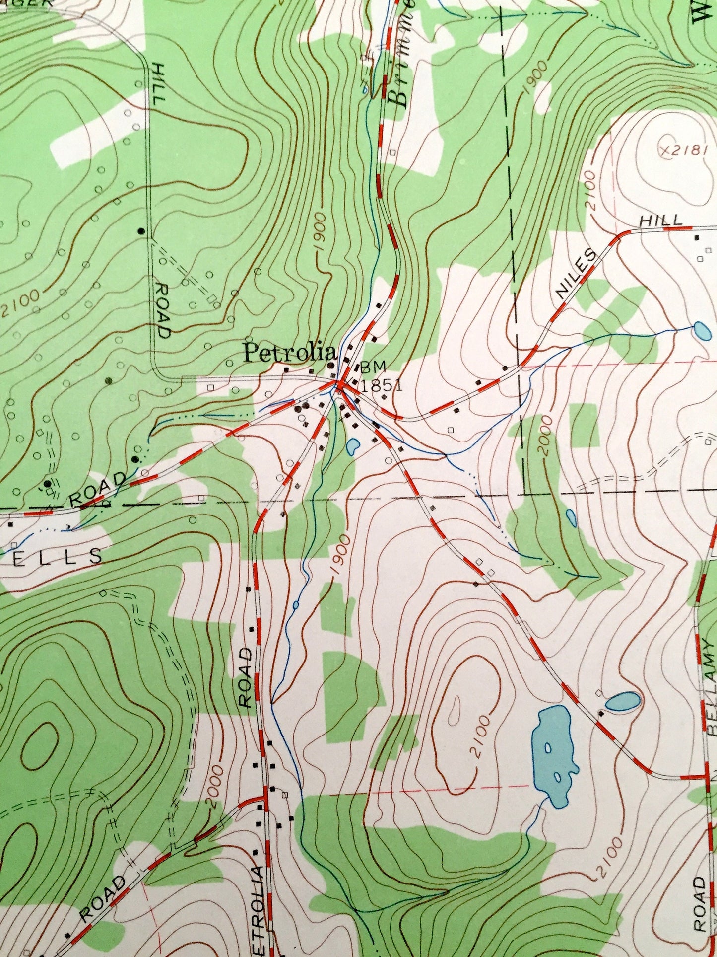
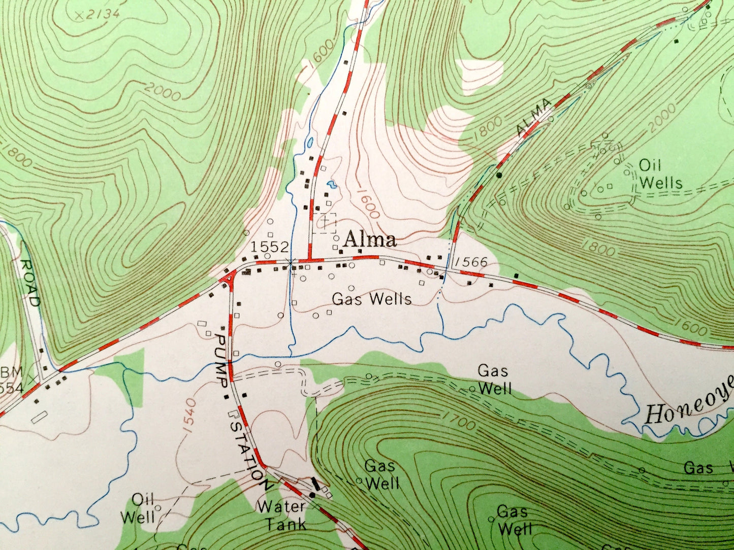
See what New York looked like over 55 years ago. Lots of intricate details and geological contours. Map even has little squares for every house that existed. The USGS cartographers were very thorough back then!
Perfect for the historian, map-lover, the curious or just as a conversation starter. Wonderful and rare. Vintage maps such as these make great gifts.
Edition of 1965, printed 1965
Dimensions: 22" width x 27" height
----
Features
Cities & Towns: Allentown, Wirt, Vosburg, Sawyer, Bolivar, South Bolivar, Hoben, Scio, Norton Summit, Petrolia, Wellsville, Pikeville, Alma.
Points of Interest: Bow Ridge, Alma Hill, Pleasant Valley, White Hill, California Hollow, Honeoye Creek, Beaver Lake, Bradford Hollow, and many more smaller lakes, creeks, mountains, valleys, houses, schools, roads, churches and train tracks.
Condition: Very Good Vintage condition, commensurate with age. This map is in great shape for being over 55 years old.
----
We will happily adjust shipping price for multiple purchases. Maps are rolled up and shipped in sturdy mailing tubes, never folded.
Couldn't load pickup availability
Share