My Store
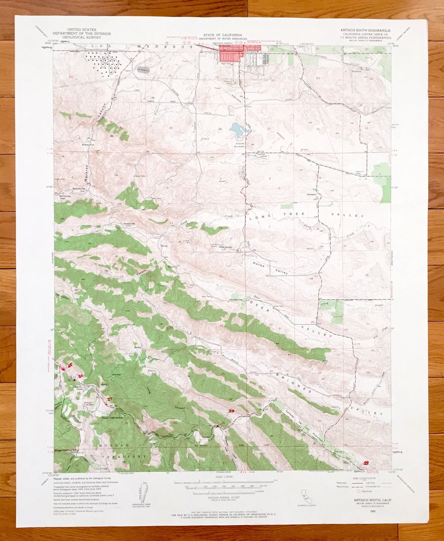
Antique Antioch, California 1953 US Geological Survey Topographic Map – Contra Costa County, Sunshine Camp, Stewartville, West Hartley, CA
Antique Antioch, California 1953 US Geological Survey Topographic Map – Contra Costa County, Sunshine Camp, Stewartville, West Hartley, CA
Beautiful, antique map of Antioch South, California and surrounding Contra Costa County area. This is an authentic 1953 print from the U.S. Geological Survey and NOT a computer reproduction.
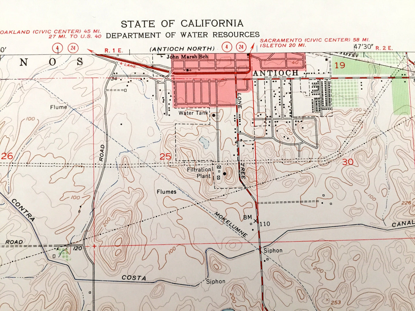
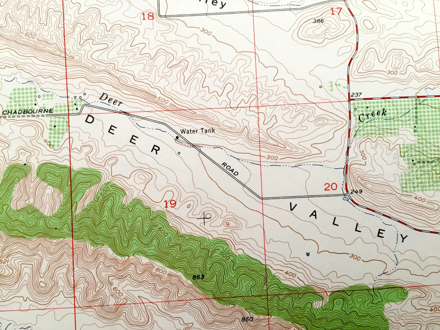
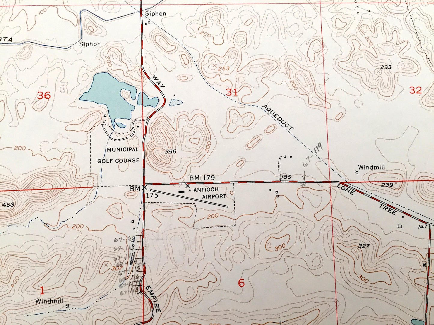
See what California looked like 65 years ago. Lots of intricate details and geological contours. Map even has little squares for every house that existed at the time. The USGS cartographers were very thorough back then!
Perfect for the historian, map-lover, the curious or just as a conversation starter. Wonderful and rare. Vintage maps such as these make great gifts.
Edition of 1953, printed 1953
Dimensions: 22" width x 27" height
----
Features
Cities & Towns: Antioch, Morgan Territory, Canada de los Poblanos, Sunshine Camp, Stewartville, West Hartley, Los Medanos, Somersville,
Points of Interest: Contra Costa County, Briones Valley, Deer Valley, Horse Valley, Lone Tree Valley, Markley Canyon, Oil Canyon, Marsh Creek Springs, Irish Canyon, Nortonville Pass, Sand Creek, Contra Costa Canal, Curry Canyon and many more canyons, springs, creeks, and roads.
Condition: Very Good Vintage condition, commensurate with age. This map is in incredible shape for being 65 years old. This map was most likely used in the field. Has light edge-wear and marker notes, all of which will read as vintage character when framed.
----
We will happily adjust shipping price for multiple purchases. Maps are rolled up and shipped in sturdy mailing tubes, never folded.
Couldn't load pickup availability
Share