My Store
Antique Anvil Points, Colorado 1952 US Geological Survey Topographic Map – Garfield County, Lacy, Naval Oil Shale Reserve, Creek, Gulch, CO
Antique Anvil Points, Colorado 1952 US Geological Survey Topographic Map – Garfield County, Lacy, Naval Oil Shale Reserve, Creek, Gulch, CO
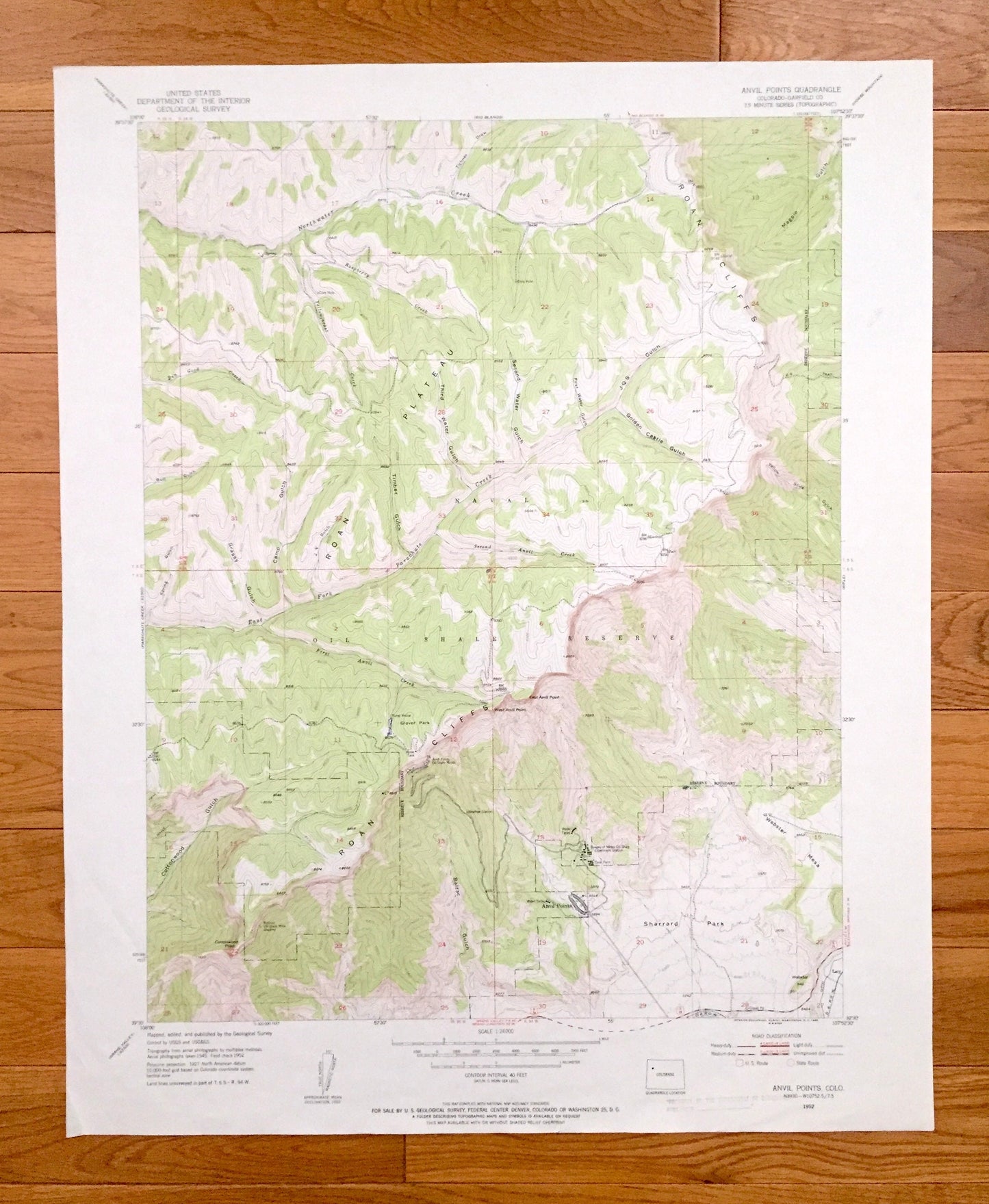
Beautiful, antique map of Anvil Points, Colorado and surrounding Garfield County area. This is an authentic 1952 edition, 1955 print from the U.S. Geological Survey and not a computer reprint.
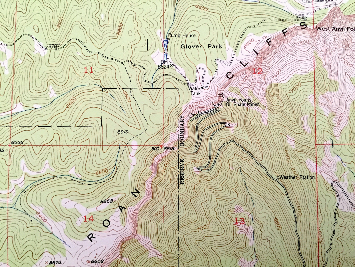
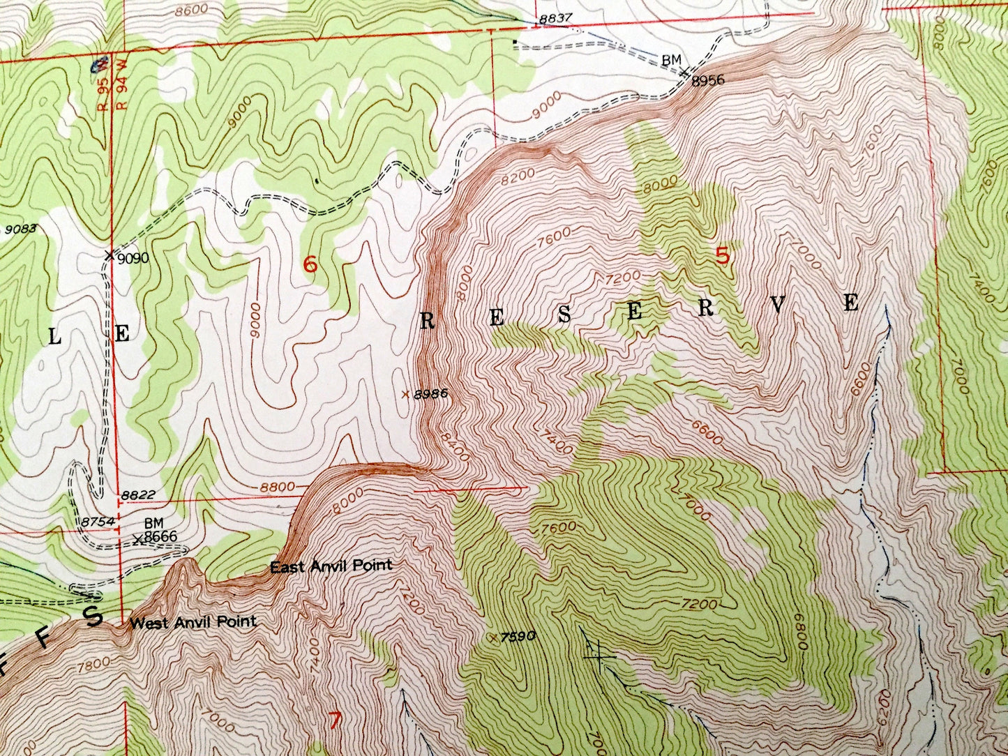
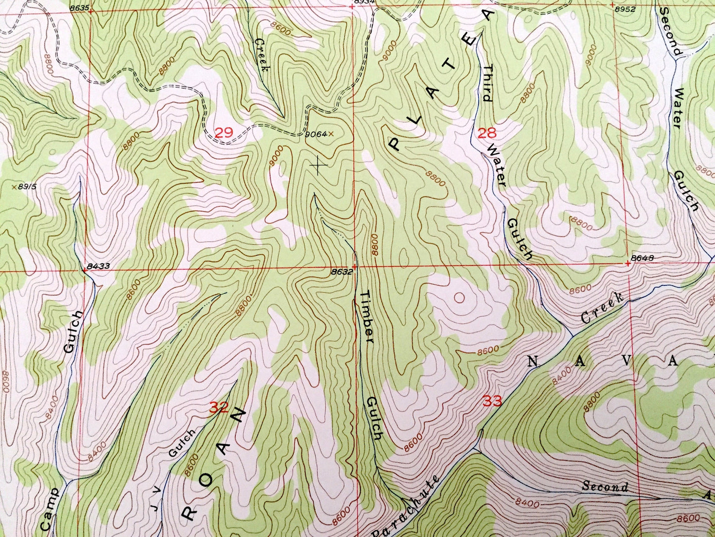
See what Colorado looked like over 65 years ago. Lots of intricate details and geological contours. Map even has little squares for every house that existed. The USGS cartographers were very thorough back then!
Perfect for the historian, map-lover, the curious or just as a conversation starter. Wonderful and rare. Vintage maps such as these make great gifts.
Edition of 1952, printed 1955
Dimensions: 22" width x 27" height
----
Features
Cities & Towns: Lacy.
Mountains: Bureau of Mines Oil Shale Experiment Station, West Anvil Point, East Anvil Point, Naval Oil Shale Reserve, Roan Plateau, Roan Cliffs, Balzac Gulch, Sharrard Park, Webster Mesa, First, Second and Third Water Gulch, JQS Gulch, Golden Castle Gulch, Timber Gulch, Camp Gulch, Grassy Gulch, Cottonwood Gulch, Cottonwood Point, Glover Park, Northwater Creek, Raspberry Creek, Yellowjacket Creek, Ben Good Creek, First and Second Anvil Creek, East Fork Parachute Creek, and many more smaller lakes, streams, houses, schools, roads, churches and train tracks.
Condition: Very Good Vintage condition, commensurate with age. This map is in great shape for being more than 60 years old. Has light edge-wear and fold creases on the corners, all of which will read as character when framed.
----
We will happily adjust shipping price for multiple purchases. Maps are rolled up and shipped in sturdy mailing tubes, never folded.
Couldn't load pickup availability
Share