My Store
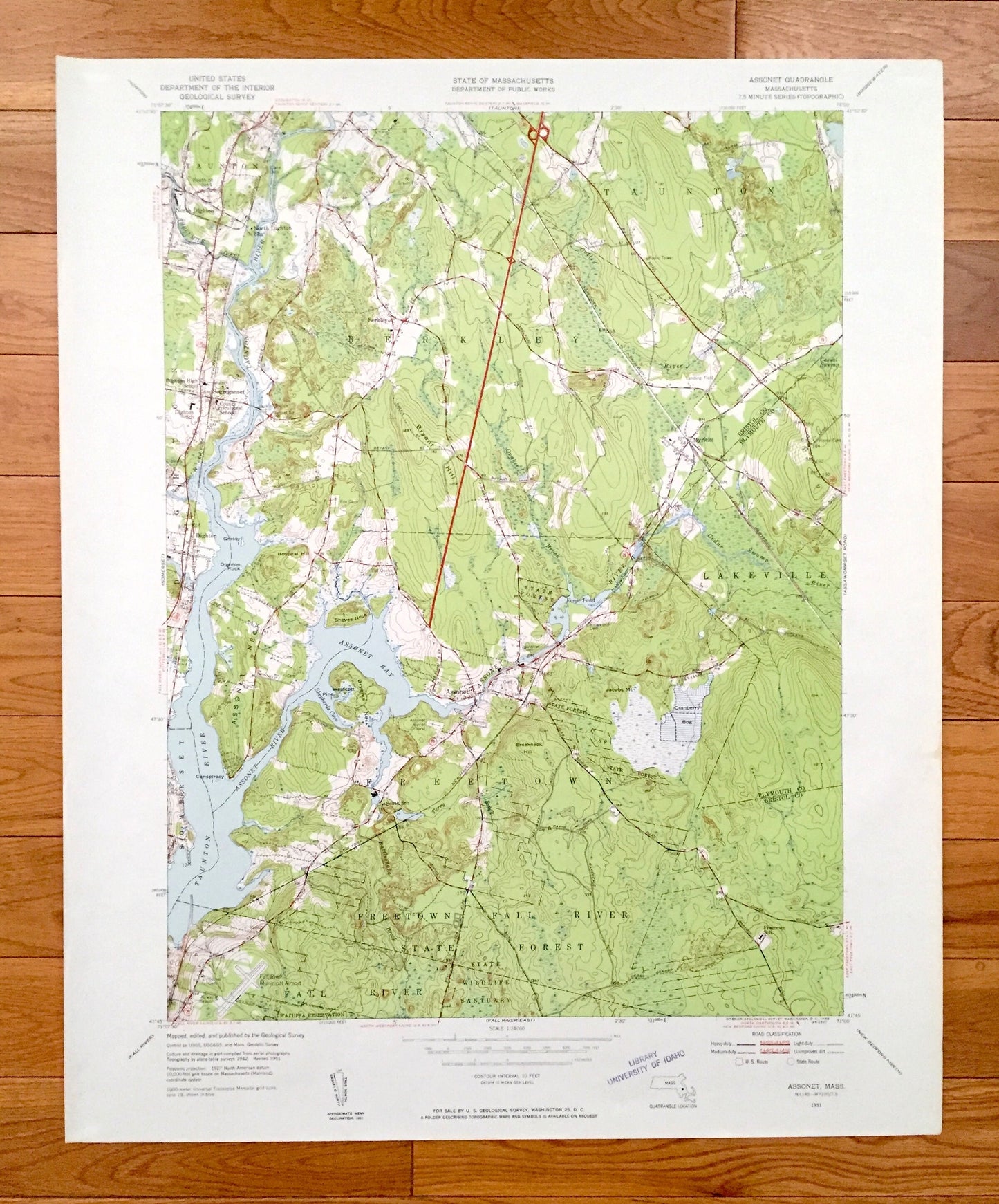
Antique Assonet, Massachusetts 1951 US Geological Survey Topographic Map – Bristol, Plymouth County, Berkley, Taunton, Lakeville, Dighton MA
Antique Assonet, Massachusetts 1951 US Geological Survey Topographic Map – Bristol, Plymouth County, Berkley, Taunton, Lakeville, Dighton MA
Beautiful, antique map of Assonet, Massachusetts surrounding Bristol County and Plymouth County areas. This is an authentic 1951 edition, 1958 print from the U.S. Geological Survey and NOT a computer reproduction.
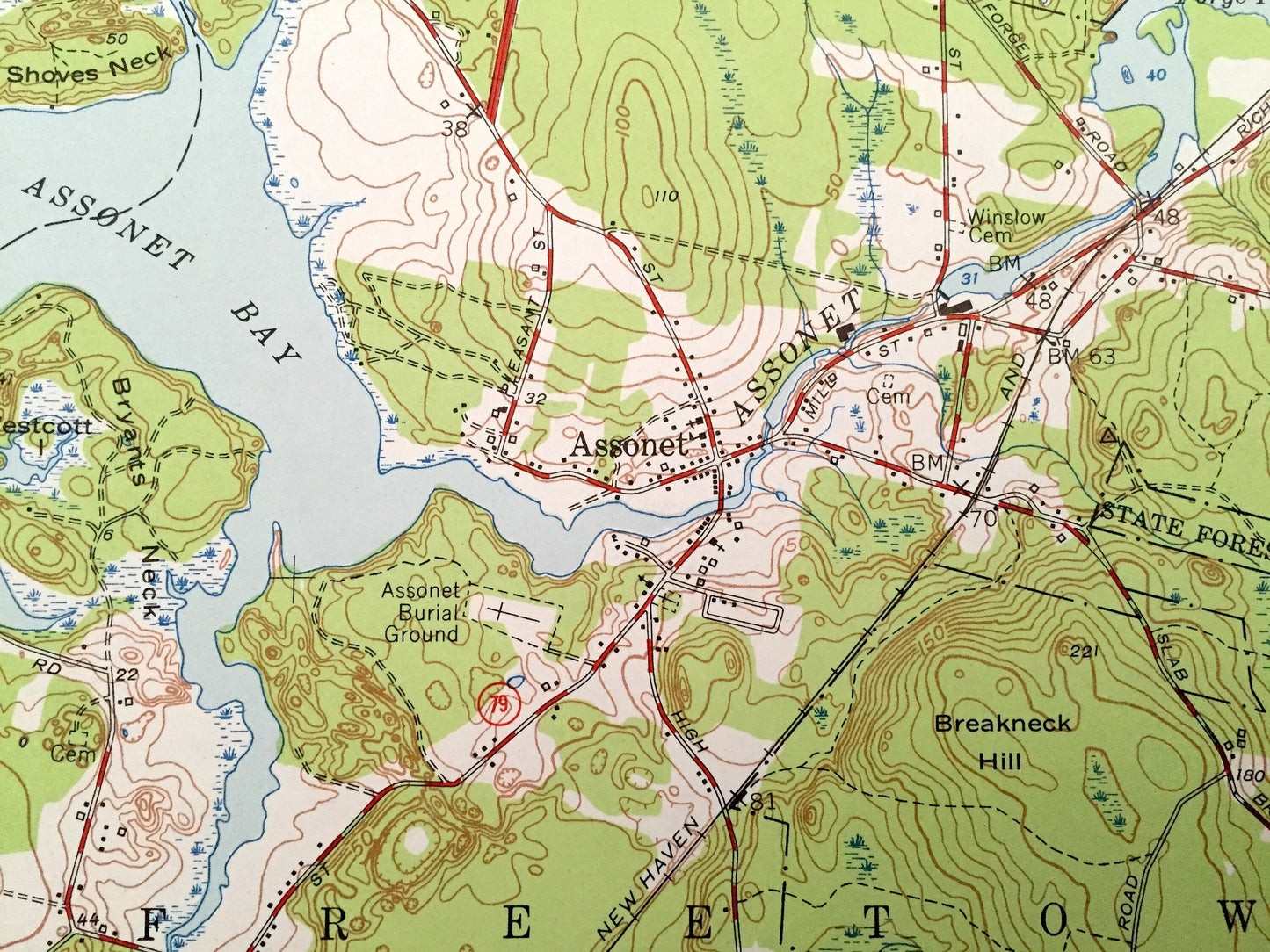
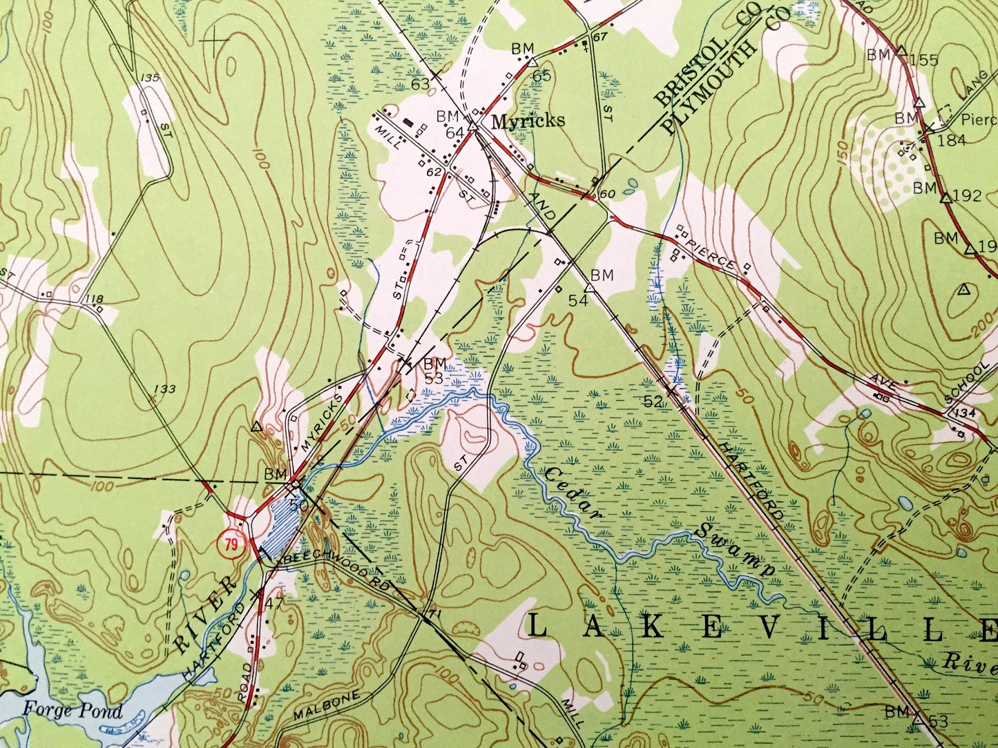
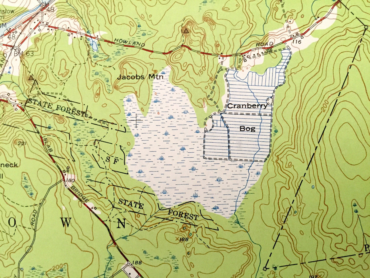
See what Massachusetts looked like over 70 years ago. Lots of intricate details and geological contours. Map even has little squares for every house that existed at the time. The USGS cartographers were very thorough back then!
Perfect for the historian, map-lover, the curious or just as a conversation starter. Wonderful and rare. Vintage maps such as these make great gifts.
Edition of 1951, printed 1958
Dimensions: 22" width x 27" height
----
Features
Cities & Towns: Freetown, Dighton, North Dighton, Segreganset, Taunton, Lakeville, Fall River, Berkley, Myricks, Somerset.
Points of Interest: Freetown Fall River State Forest, State Wildlife Sanctuary, County Agricultural School, Watuppa Reservation, Fall River Municipal Airport, Berkley Bridge, Bryant Hill, Jacobs Mountain, Breakneck Hill, Assonet Neck, Threemile River, Taunton River, Assonet Bay, Assonet River, Cotley River, Quaker Brook, and many more hills, streams, ponds, houses, schools, railroads, churches and roads.
Condition: Very Good Vintage condition, commensurate with age. This map is in great shape for being over 60 years old. Has few fold creases but will read as character when framed.
----
We will happily adjust shipping price for multiple purchases. Maps are rolled up and shipped in sturdy mailing tubes, never folded.
Couldn't load pickup availability
Share