My Store
Antique Attleboro, Massachusetts 1949 US Geological Survey Topographic Map – Mansfield, Plainville, Rehoboth, Pawtauket, Rhode Island, MA RI
Antique Attleboro, Massachusetts 1949 US Geological Survey Topographic Map – Mansfield, Plainville, Rehoboth, Pawtauket, Rhode Island, MA RI
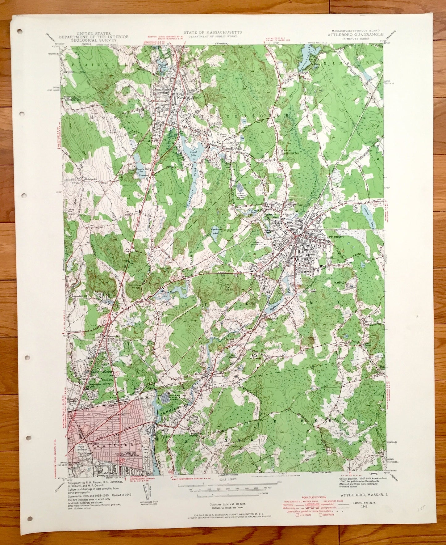
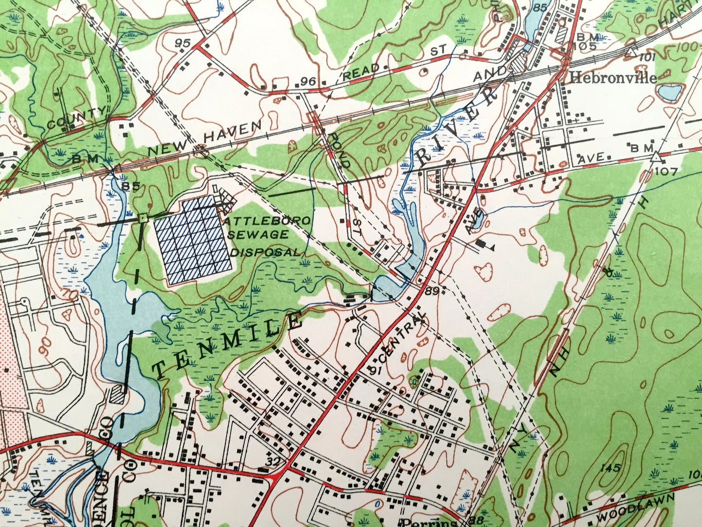
Beautiful, antique map of Attleboro, Massachusetts & Pawtucket, Rhode Island. This is an authentic edition of 1949 print from the U.S. Geological Survey and NOT a computer reproduction.
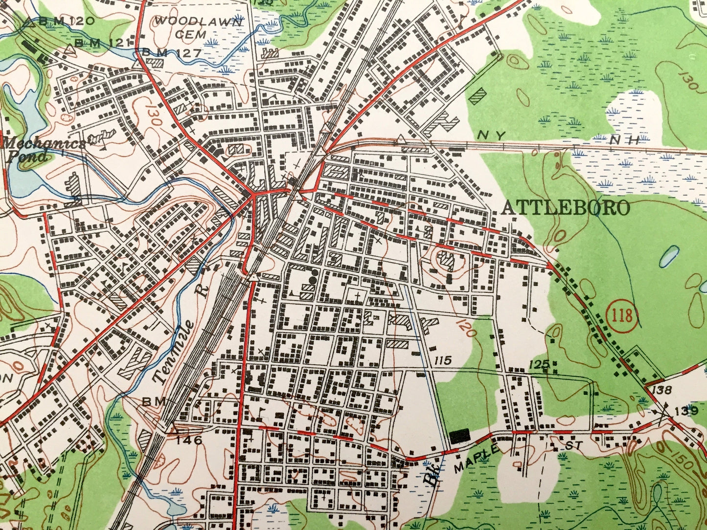
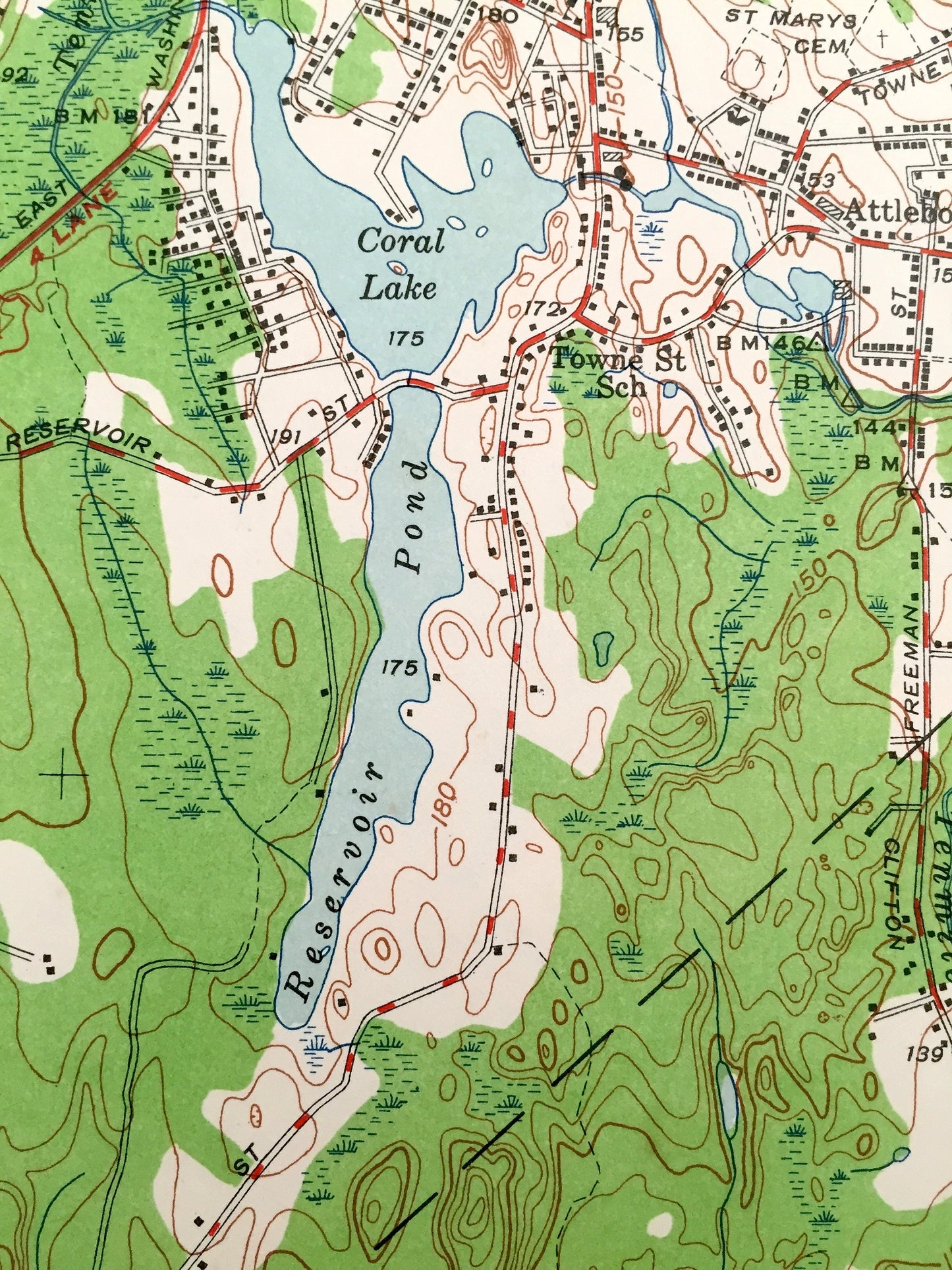
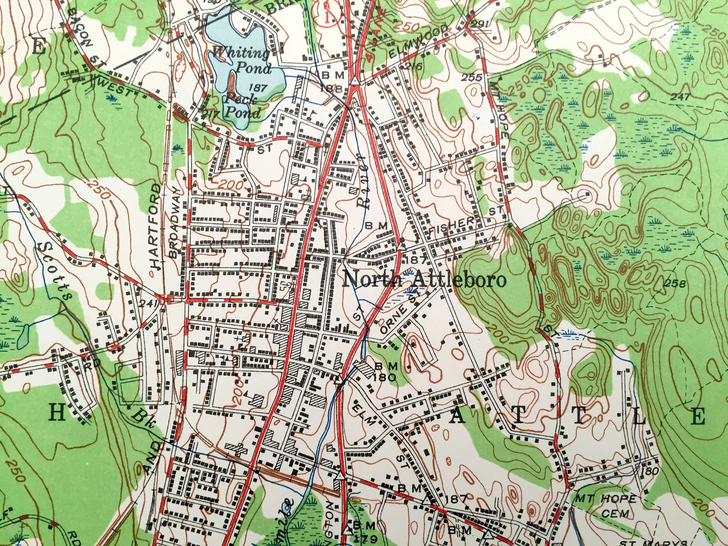
See what the towns of Attleboro and Pawtucket looked like almost 70 years ago. Lots of intricate details and geological contours. Map even has little squares for every house that existed at the time. The USGS cartographers were very thorough back then!
Perfect for the historian, map-lover, the curious or just as a conversation starter. Wonderful and rare. Vintage maps such as these make great gifts.
Edition of 1949, printed 1949
Dimensions: 22" width x 27" height
----
Features
Cities & Towns: Massachusetts: North Attleboro, Attleboro, South Attleboro, Mansfield, Plainville, Hebronville, Rehoboth, Seekonk.
Rhode Island: Pawtucket
Points of Interest: Ten Mile River, Attleboro Falls, Whitling Pond, Greenwood Lake, Coral Lake, New York New Haven and Hartford Railroad, Highland Country Club, Manchester Pond, Mechanics Pond, La Sallette Seminary, Briggs Corner, Camp Hebron, Dodgeville Pond, Orrs Pond, Potter School, Goff Jr. High School, and more roads, houses, ponds, hills, and streams.
Condition: Very Good condition, commensurate with age. This map is in incredible shape for being almost 70 years old. Map has punch holes but these are easily concealed with framing or placing a similar-colored paper behind the map, as can be seen in the photos.
----
We will happily adjust shipping price for multiple purchases. Maps are rolled up and shipped in sturdy mailing tubes, never folded.
Couldn't load pickup availability
Share