My Store
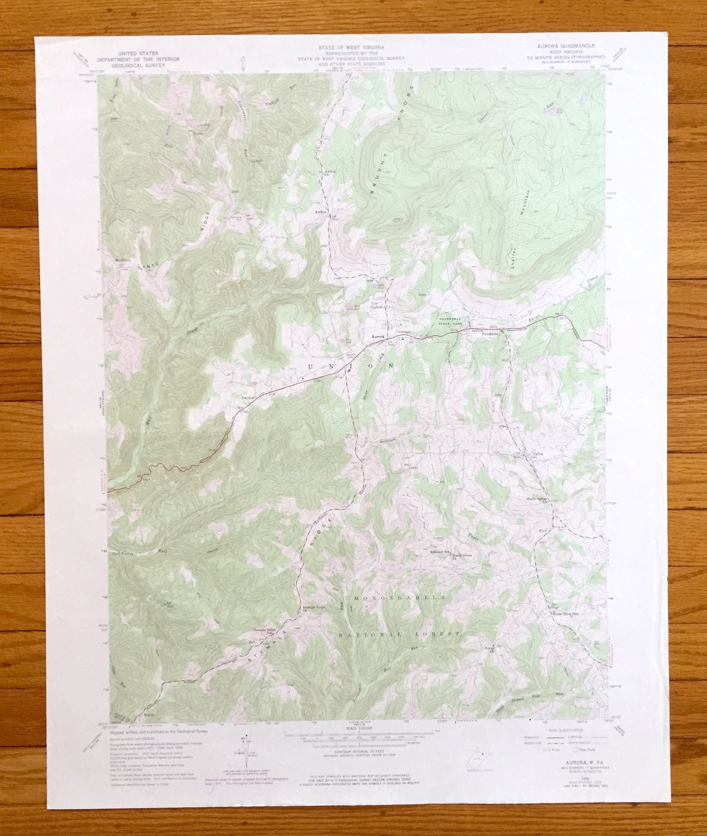
Antique Aurora, West Virginia 1959 US Geological Survey Topographic Map – Tucker, Preston County, Monongahela National Forest, Amboy, WV
Antique Aurora, West Virginia 1959 US Geological Survey Topographic Map – Tucker, Preston County, Monongahela National Forest, Amboy, WV
Beautiful, antique map of Aurora, West Virginia and surrounding Preston County & Tucker County areas. This is an authentic 1959 edition, 1977 print from the U.S. Geological Survey and NOT a computer reproduction.
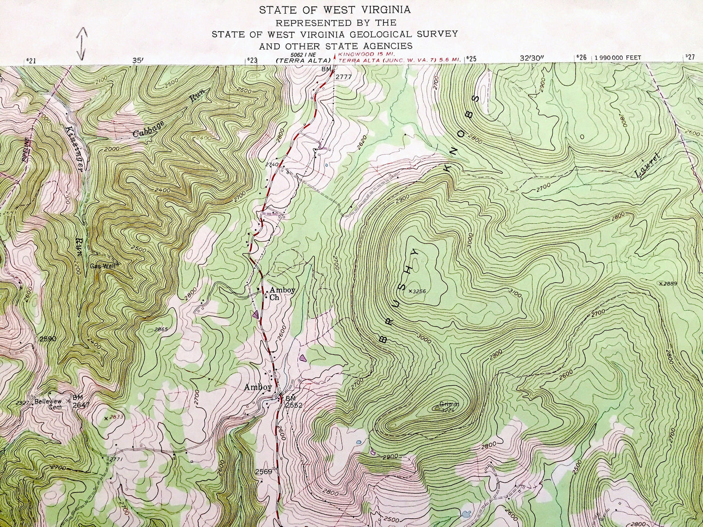
See what West Virginia looked like over 60 years ago. Lots of intricate details and geological contours. Map even has little squares for every house that existed at the time. The cartographers were very thorough back then!
Perfect for the historian, map-lover, the curious or just as a conversation starter. Wonderful and rare. Vintage maps such as these make great gifts.
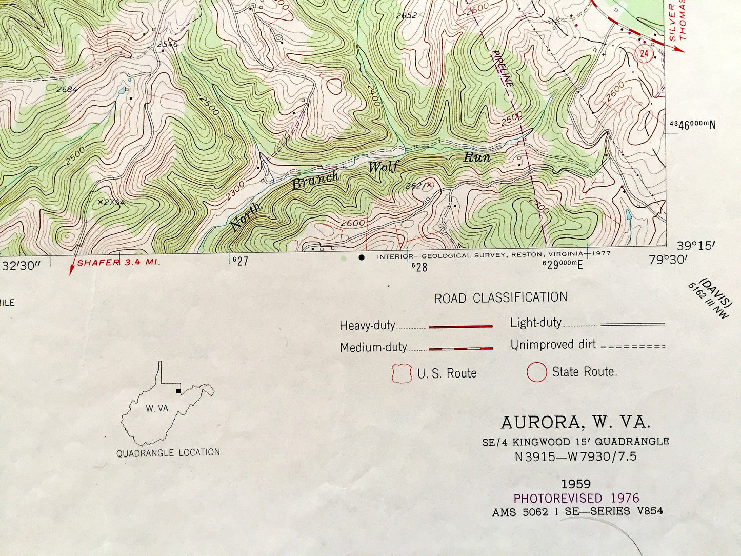
Edition of 1959, printed 1977
Dimensions: 22" width x 27" height
----
Features
Cities & Towns: Amboy, Carmel, Brookside, Mt Olivet, Dayton, Eglon, Sell, White, Licking, Horse Shoe Run.
Points of Interest: Monongahela National Forest, Cathedral State Park, Lantz Ridge, Brushy Knobs, Shaffer Mountain, Stemple Ridge, Wolf Creek, Laurel Run, Rhine Creek, Little Wolf Creek, Horseshoe Run, North Branch Wolf Run, and many more hills, streams, ponds, houses, schools, railroads, churches and roads.
Condition: Very Good Vintage condition, commensurate with age. This map is in great condition for being over 45 years old. Has some edge-wear and pencil markings but will read as character when framed.
----
We will happily adjust shipping price for multiple purchases. Maps are rolled up and shipped in sturdy mailing tubes, never folded.
Couldn't load pickup availability
Share