My Store
Antique Bailey Island, Maine 1957 US Geological Survey Topographic Map – Sagadahoc, Cumberland County, Harpswell, Phippsburg, Casco Bay, ME
Antique Bailey Island, Maine 1957 US Geological Survey Topographic Map – Sagadahoc, Cumberland County, Harpswell, Phippsburg, Casco Bay, ME
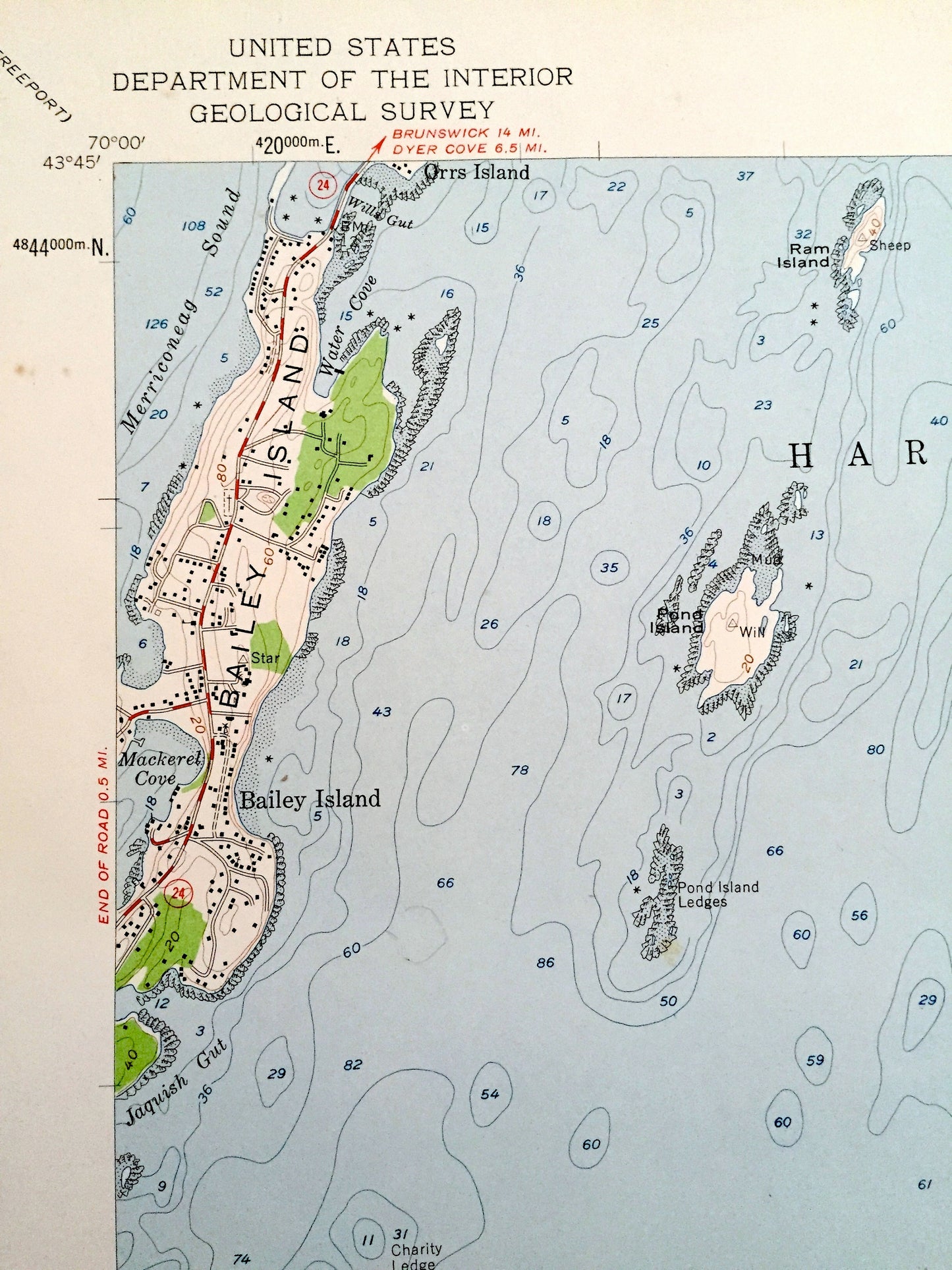
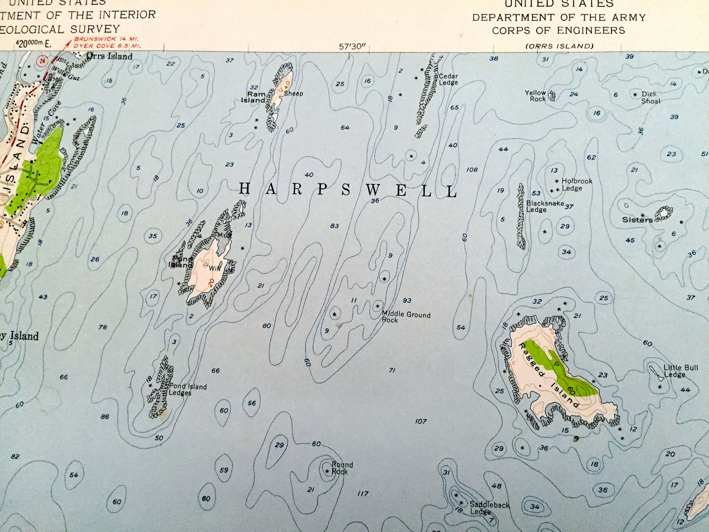
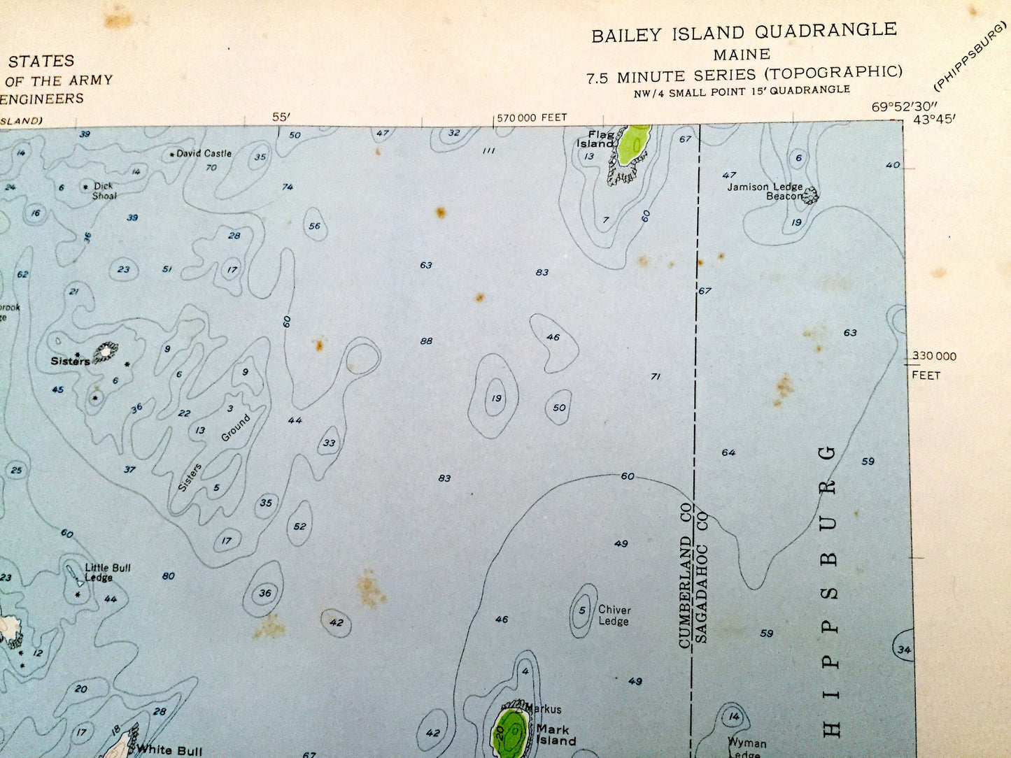
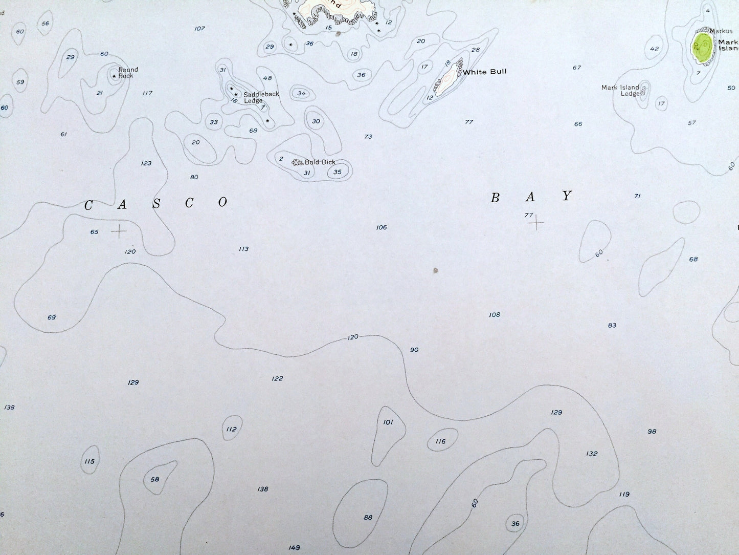
Beautiful, antique map of Bailey Island, Maine and surrounding Cumberland & Sagadahoc County areas. This is an authentic 1957 edition, 1959 print from the U.S. Geological Survey and NOT a computer reproduction.
See what Maine looked like over 60 years ago. Lots of intricate details and geological contours. Map even has little squares for every house that existed. The USGS cartographers were very thorough back then!
Perfect for the historian, map-lover, the curious or just as a conversation starter. Wonderful and rare. Vintage maps such as these make great gifts.
Edition of 1957, printed 1959
Dimensions: 22" width x 27" height
----
Features
Cities & Towns: Harpswell, Phippsburg.
Points of Interest: Orrs Island, Pond Island, Ram Island, Ragged Island, Mark Island, Flag Island, Pond Island Ledges, Blacksnake Ledge, Saddleback Ledge, Casco Bay, Atlantic Ocean, Merriconeag Sound, Mackered Cove, Jaquish Gut, and many more hills, streams, islands, beaches, ponds, houses, schools, railroads, churches and roads.
Condition: Good Vintage condition, commensurate with age. This map is in great shape for being over 60 years old. Has edge-wear that consists of stains, fold creases, and a four-hole-punch, all of which will read as character when framed.
----
We will happily adjust shipping price for multiple purchases. Maps are rolled up and shipped in sturdy mailing tubes, never folded.
Couldn't load pickup availability
Share