My Store
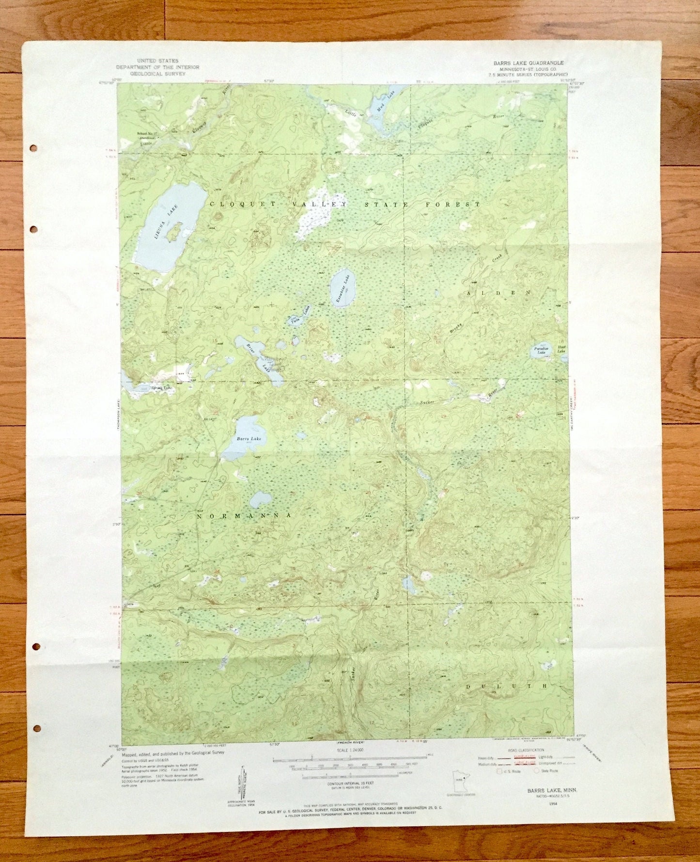
Antique Barrs Lake, Minnesota 1954 US Geological Survey Topographic Map - St Louis County, Cloquet Valley State Forest, Duluth, Normanna, MN
Antique Barrs Lake, Minnesota 1954 US Geological Survey Topographic Map - St Louis County, Cloquet Valley State Forest, Duluth, Normanna, MN
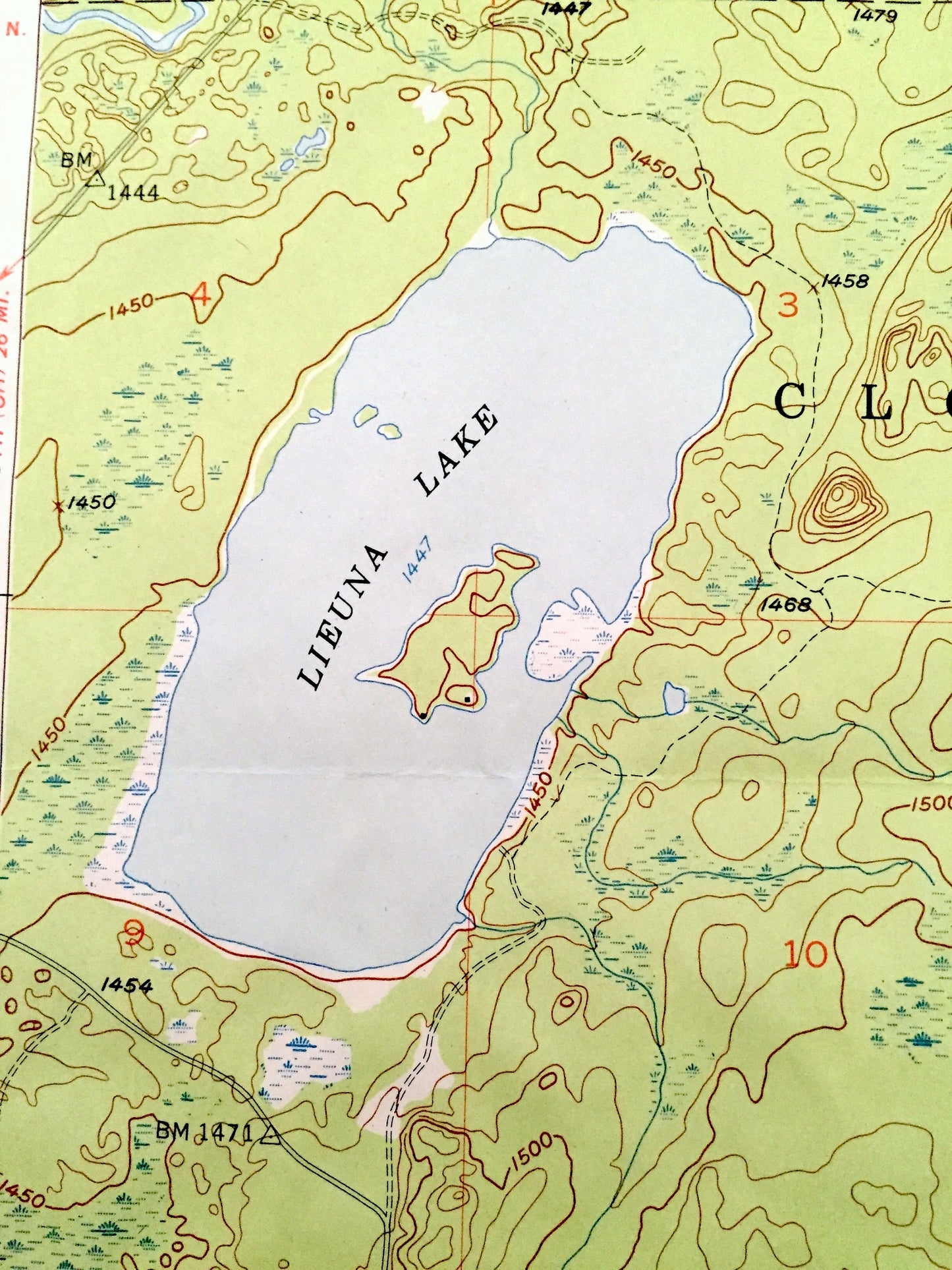
Beautiful, antique map of Barrs Lake, Minnesota and surrounding St Louis County area. This is an authentic 1951 print, 1953 edition from the U.S. Geological Survey and NOT a computer reproduction.
See what Minnesota looked like over 65 years ago. Lots of intricate details and geological contours. Map even has little squares for every house that existed at the time. The USGS cartographers were very thorough back then!
Perfect for the historian, map-lover, the curious or just as a conversation starter. Wonderful and rare. Vintage maps such as these make great gifts.
Edition of 1954, printed 1955
Dimensions: 21 1/2" width x 26 1/2" height
----
Features
Cities & Towns: Alden, Duluth, Normanna
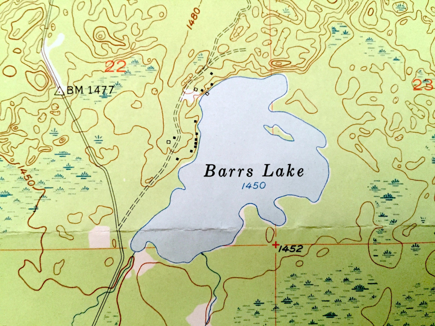
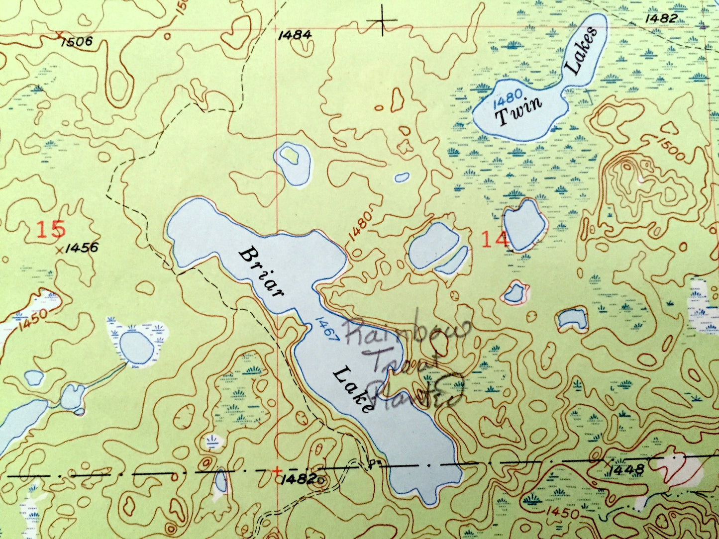
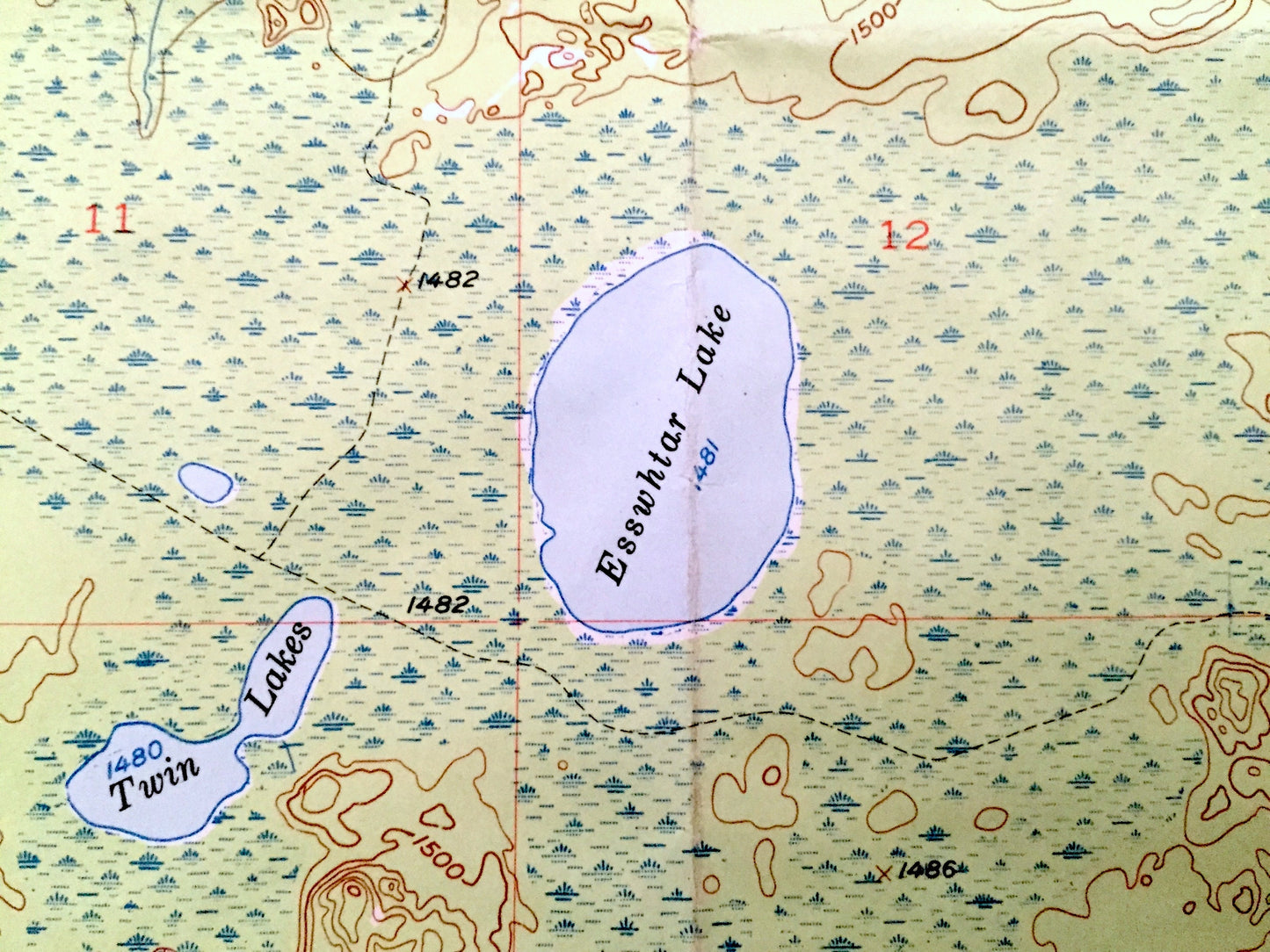
Points of Interest: St. Louis County, Cloquet Valley State Forest, Lieuna Lake, Barrs Lake, Esswhtar Lake, Paradise Lake, Sucker River, Cloquet River, Little Colquet River and many more roads, railroads, houses, ponds, hills, creeks, and lakes.
Condition: Good Vintage condition, commensurate with age. This map is in great shape for being over 65 years old. This map has punch holes on the left side. This is easily concealed by placing a similar piece of paper behind it as shown in the above photos. Also has light edge-wear, but this will add to vintage character when framed.
----
We will happily adjust shipping price for multiple purchases. Maps are rolled up and shipped in sturdy mailing tubes, never folded.
Couldn't load pickup availability
Share