My Store
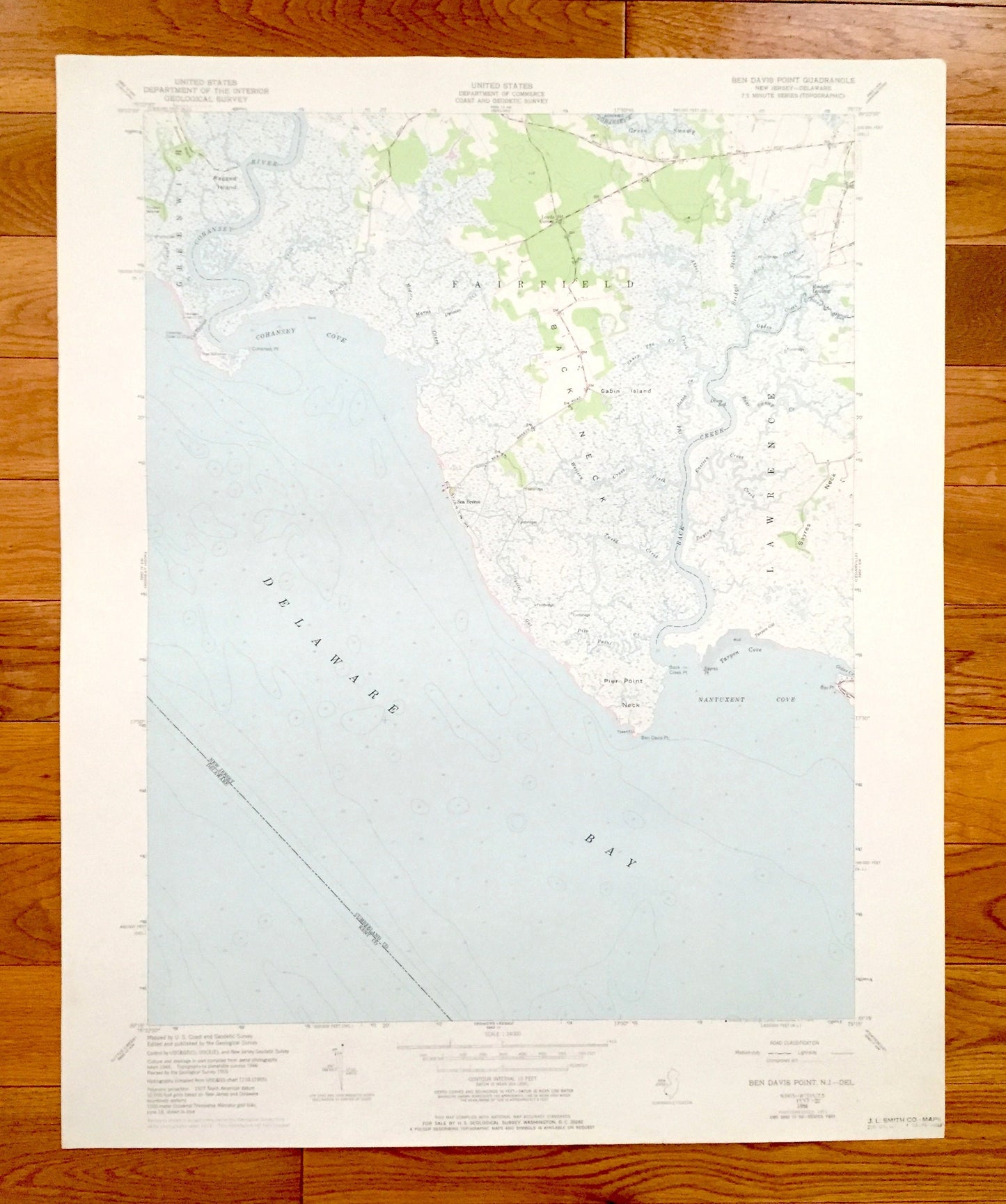
Antique Ben Davis Point, New Jersey 1956 US Geological Survey Topographic Map – Cumberland County, Fairfield, Greenwich, NJ, Kent County, DE
Antique Ben Davis Point, New Jersey 1956 US Geological Survey Topographic Map – Cumberland County, Fairfield, Greenwich, NJ, Kent County, DE
Beautiful, antique map of Ben Davis Point, New Jersey and surrounding Cumberland County areas. This is an authentic 1956 edition, 1972 print from the U.S. Geological Survey and NOT a computer reproduction.
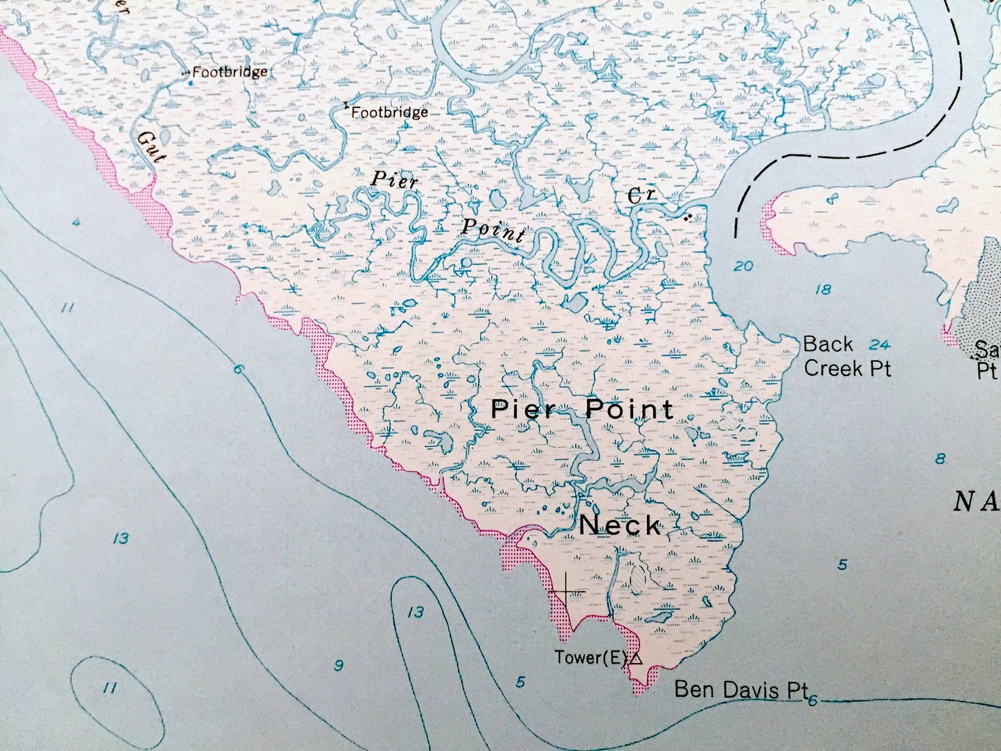
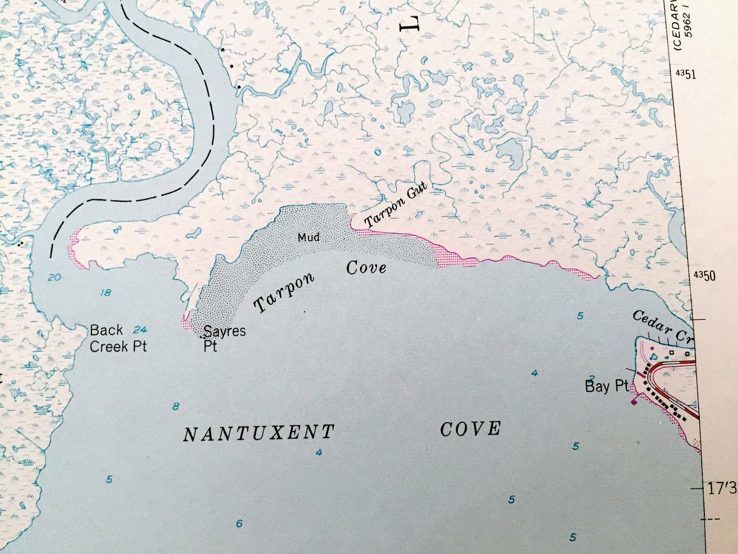
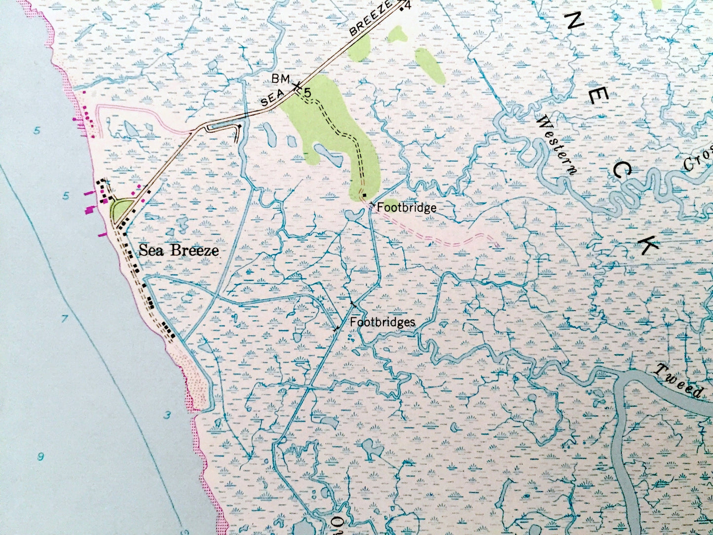
See what New Jersey looked like more than 60 years ago. Lots of intricate details and geological contours. Map even has little squares for every house that existed at the time. The USGS cartographers were very thorough back then!
Perfect for the historian, map-lover, the curious or just as a conversation starter. Wonderful and rare. Vintage maps such as these make great gifts.
Edition of 1956, printed 1972
Dimensions: 22" width x 27" height
----
Features
Cities & Towns: Lawrence, Hopewell, Loyds Corner, Sea Breeze, Husted Landing, Back Neck.
Points of Interest: Delaware Bay, Ragged Island, Tindall Island, Bacons Neck, Cabin Island, Sayres Neck, Pier Point Neck, Cohansey Cove, Nantuxent Cove, Tarpon Cove, Cohansey River, Back Creek, Marsh Creek, Ogden Creek, Green Swamp, and many more roads, ponds, houses, beaches, islands, rivers, inlets, marshes, lighthouses and creeks.
Condition: Very Good Vintage condition, commensurate with age. This map is in great shape for being over 45 years old.
----
We will happily adjust shipping price for multiple purchases. Maps are rolled up and shipped in sturdy mailing tubes, never folded.
Couldn't load pickup availability
Share