My Store
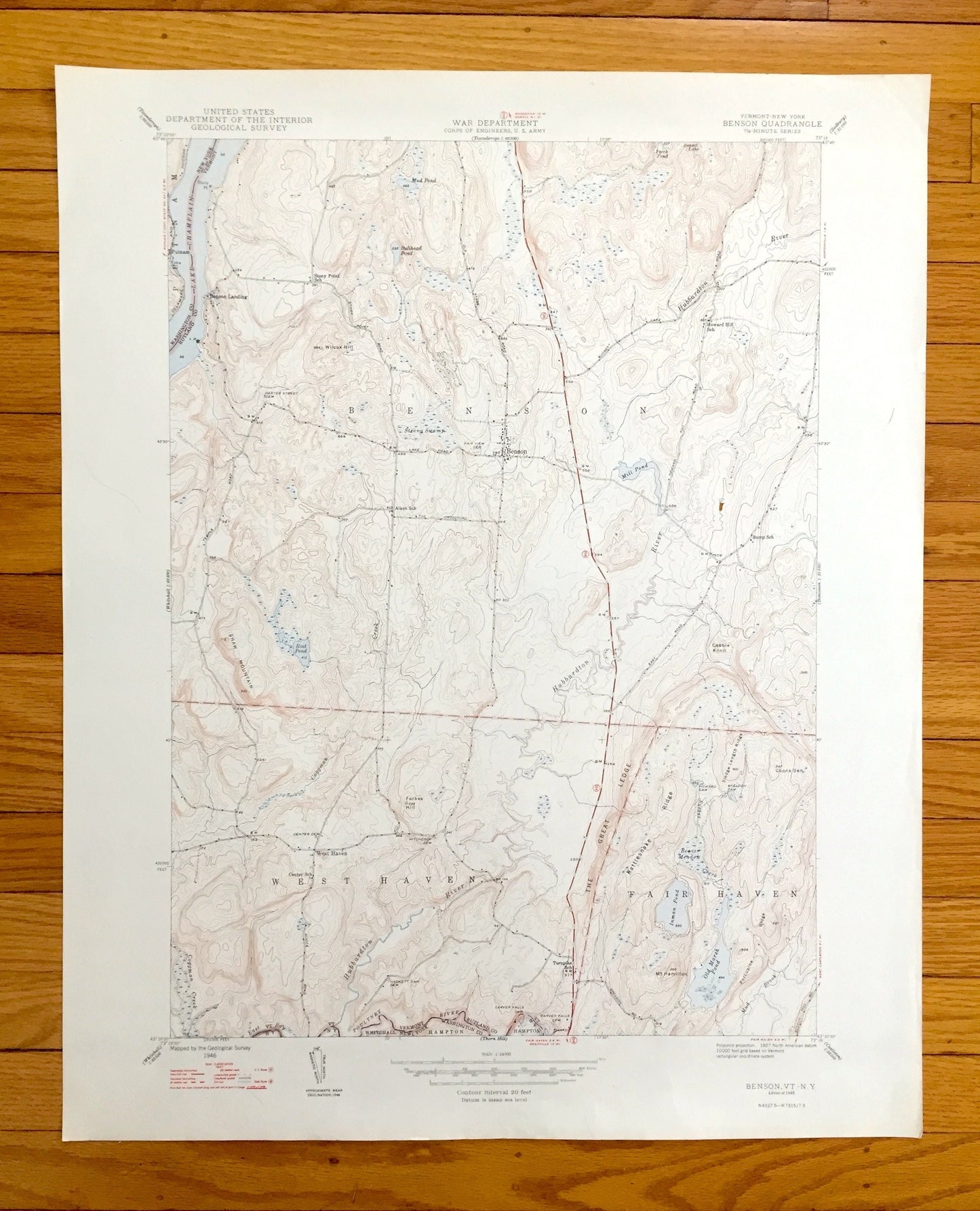
Antique Benson, Vermont 1948 US Geological Survey Topographic Map – Rutland County, West Haven, Fair Haven, Lake Champlain, Putnam, VT
Antique Benson, Vermont 1948 US Geological Survey Topographic Map – Rutland County, West Haven, Fair Haven, Lake Champlain, Putnam, VT
Beautiful, antique map of Benson, Vermont and surrounding Rutland County area. This is an authentic 1948 print from the U.S. Geological Survey and is NOT a computer reproduction.
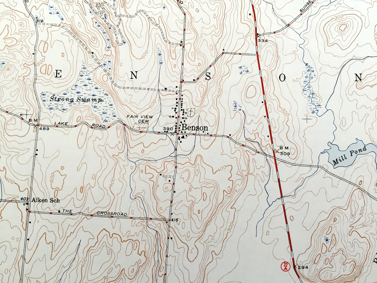
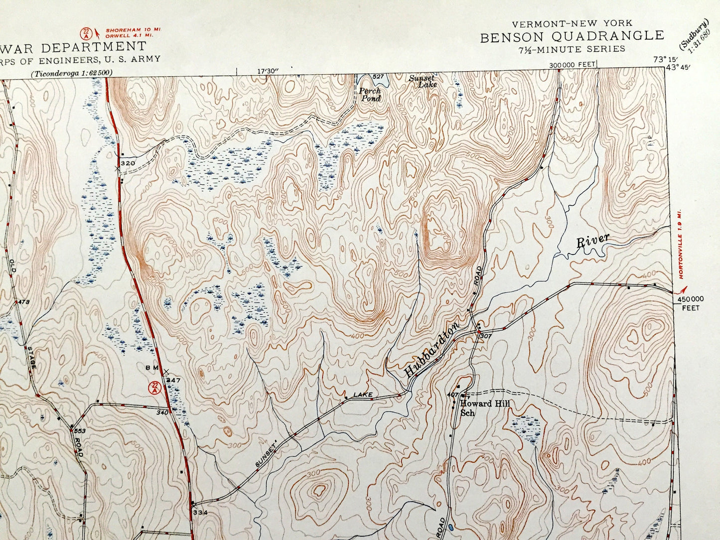
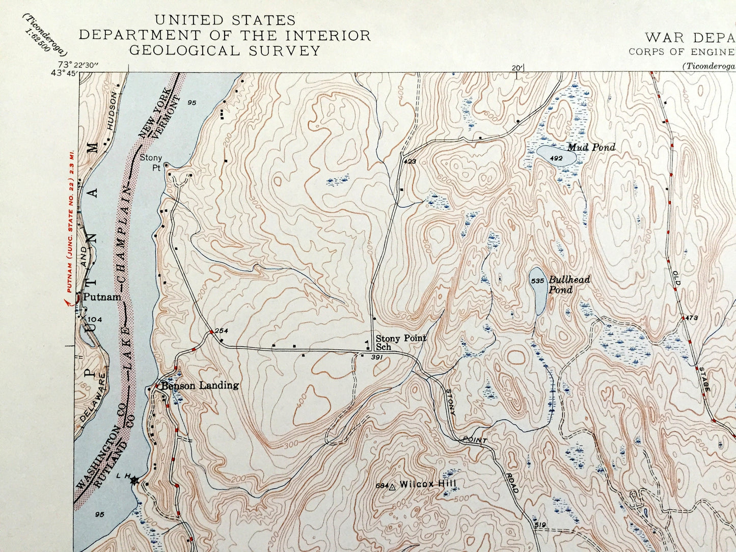
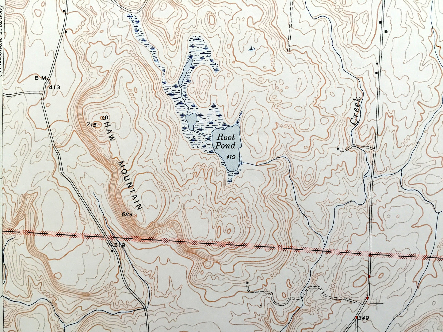
See what Vermont looked like over 75 years ago. Lots of intricate details and geological contours. Map even has little squares for every house that existed at the time. The USGS cartographers were very thorough back then! On the back is a description of topographic symbols and map guide.
Perfect for the historian, map-lover, the curious or just as a conversation starter. Wonderful and rare. Vintage maps such as these make great gifts.
Edition of 1948, printed 1948
Dimensions: 21 1/2" width x 27" height
----
Features
Cities & Towns: Benson, West Haven, Fair Haven, Benson Landing. Vermont. Putnam, Whitehall, New York
Points of Interest: Rutland County, Lake Champlain, Shaw Mountain, Mill Pond, Hubbardton River, Poultney River, Cobble Knoll, Strong Swamp, Wilcox Hill, Root Pond, The Great Ledge, Coosn Den, Forbes Hill, Inman Pond, Old Marsh Pond, Mt Hamilton, Carver Falls, Coggman Creek, and lots more hills, mountains, streams, ponds, houses, schools and roads.
Condition: Very Good Vintage condition, commensurate with age. This map is in great shape for being over 70 years old. Has light edge-wear but this will add to vintage character when framed.
----
We will happily adjust shipping price for multiple purchases. Maps are rolled up and shipped in sturdy mailing tubes, never folded.
Couldn't load pickup availability
Share