My Store
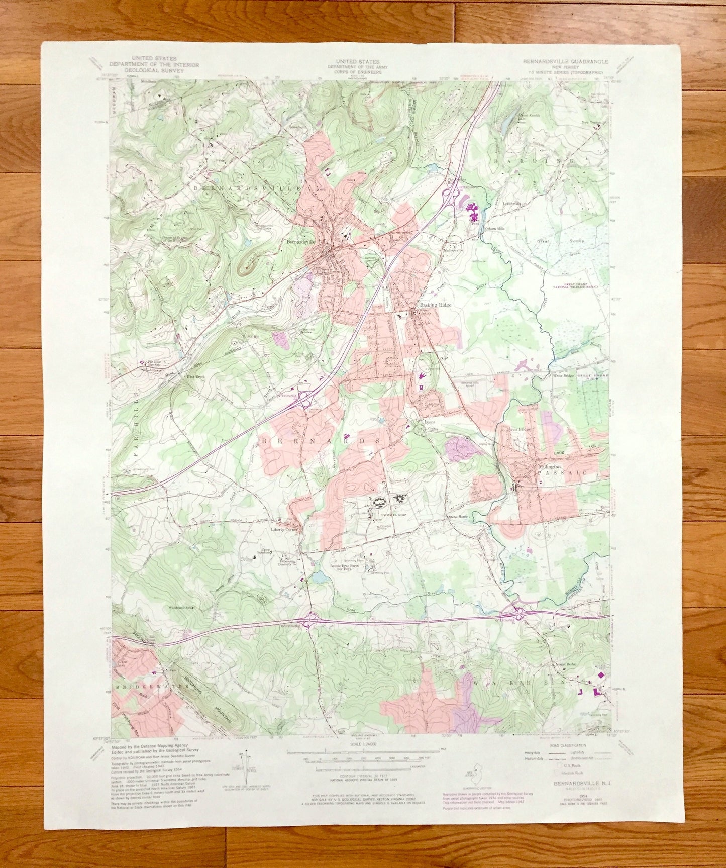
Antique Bernardsville, New Jersey 1954 US Geological Survey Topographic Map - Somerset, Morris County, Far Hills, Lyons, Basking Ridge, NJ
Antique Bernardsville, New Jersey 1954 US Geological Survey Topographic Map - Somerset, Morris County, Far Hills, Lyons, Basking Ridge, NJ
Beautiful, antique map of Bernardsville, New Jersey and surrounding Somerset and Morris County areas. This is an authentic 1954 edition, 1984 print from the U.S. Geological Survey and NOT a computer reproduction.
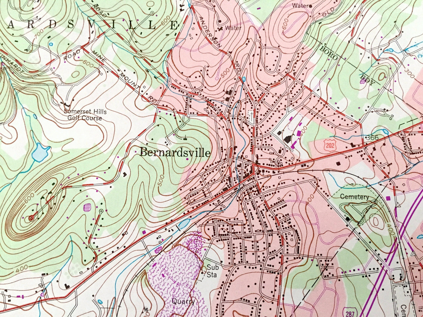
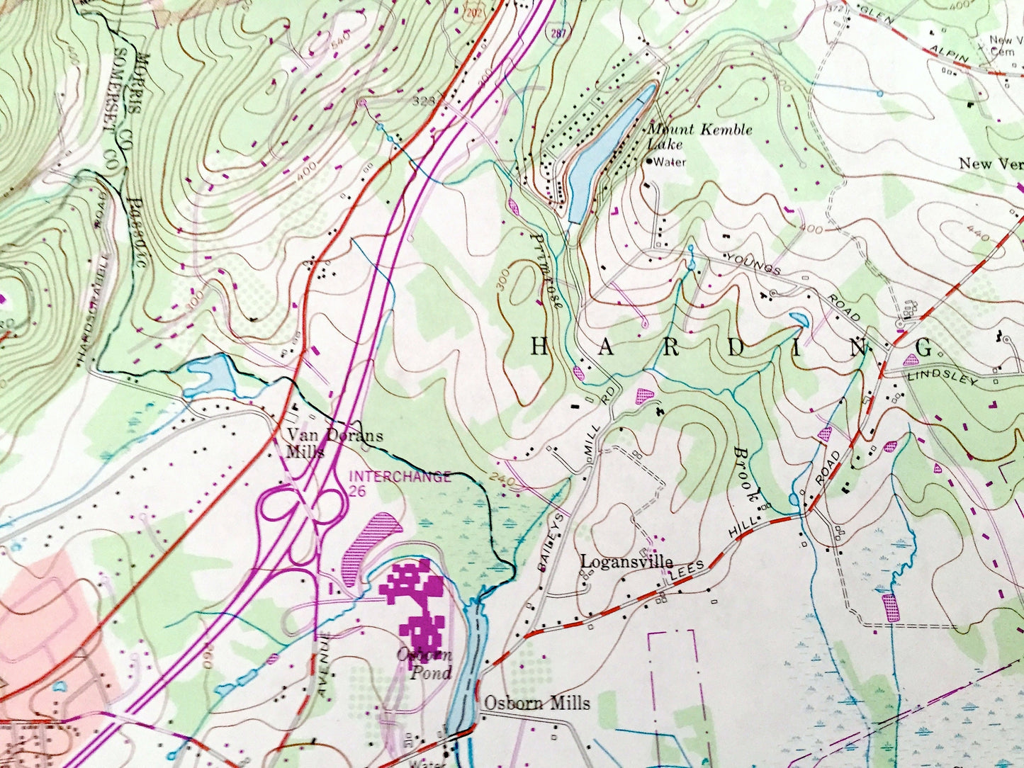
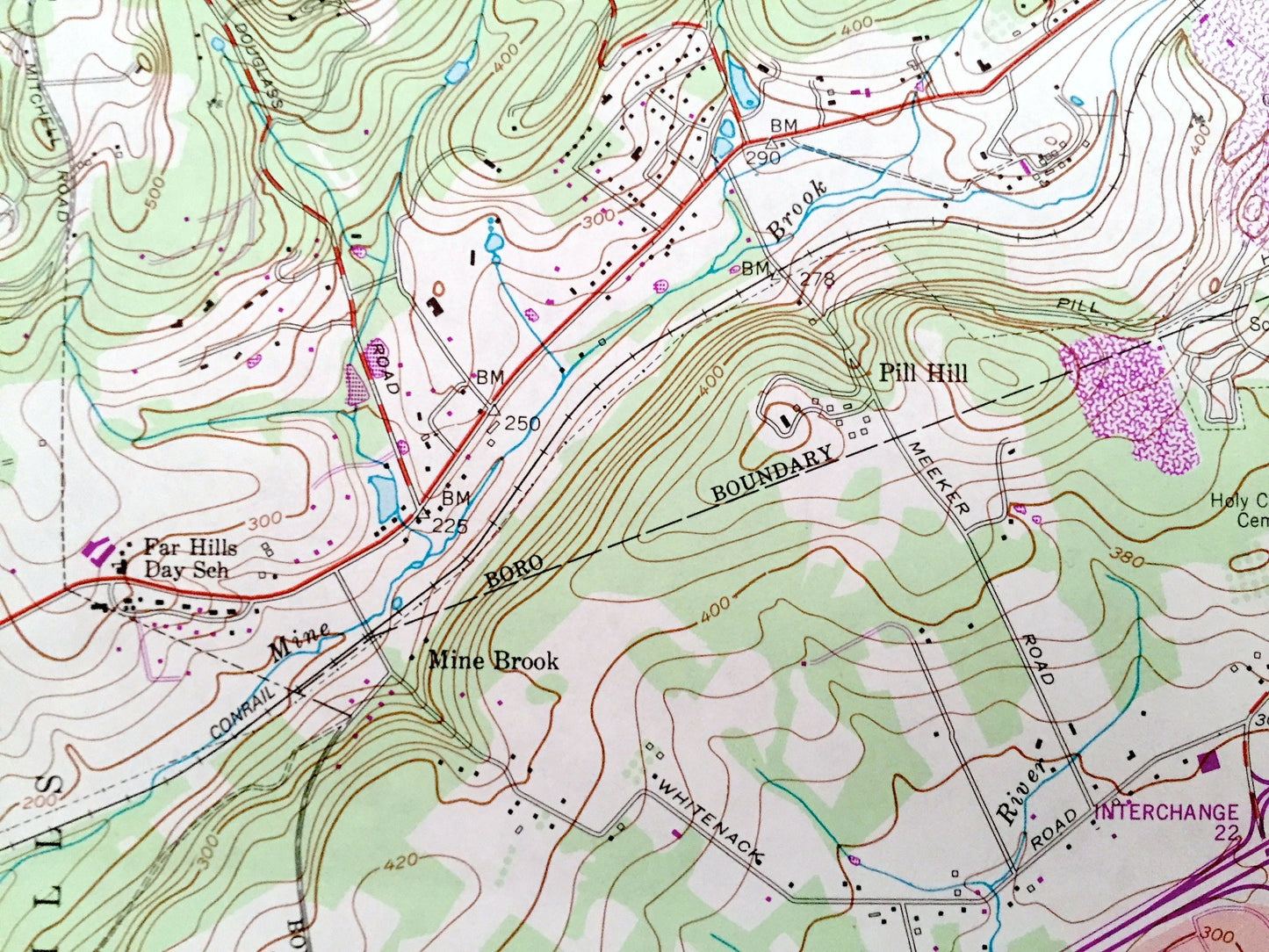
See what New Jersey looked like over 65 years ago. Lots of intricate details and geological contours. Map even has little squares for every house that existed at the time. The USGS cartographers were very thorough back then!
Perfect for the historian, map-lover, the curious or just as a conversation starter. Wonderful and rare. Vintage maps such as these make great gifts.
Edition of 1954, printed 1984
Dimensions: 22 1/4" width x 27" height
----
Features
Cities & Towns: Bernardsville, Bridgewater, Warren, Mount Bethel, Millington, Davis Bridge, Mine Brook, Pill Hill, Basking Ridge, Mendham, Passaic, White Bridge, Madisonville, Osborn Mills, Logansville, Harding, New Vernon, Van Dorans Mills, Somersetin, Pill Hill, Liberty Corner, Stone House, Far Hills, Lyons, Basking Ridge.
Points of Interest: Somerset County, Morris County, Second Watchung Mountain, Mine Mountain, Long Hill, Passaic River, Great Swamp, Mount Kemble Lake, Great Brook, and many more hills, streams, ponds, houses, schools, railroads, churches and roads.
Condition: Good Vintage condition, commensurate with age. This map is in great shape for being over 35 years old. Has light edge-wear, but this will add to vintage character when framed.
----
We will happily adjust shipping price for multiple purchases. Maps are rolled up and shipped in sturdy mailing tubes, never folded.
Couldn't load pickup availability
Share