My Store
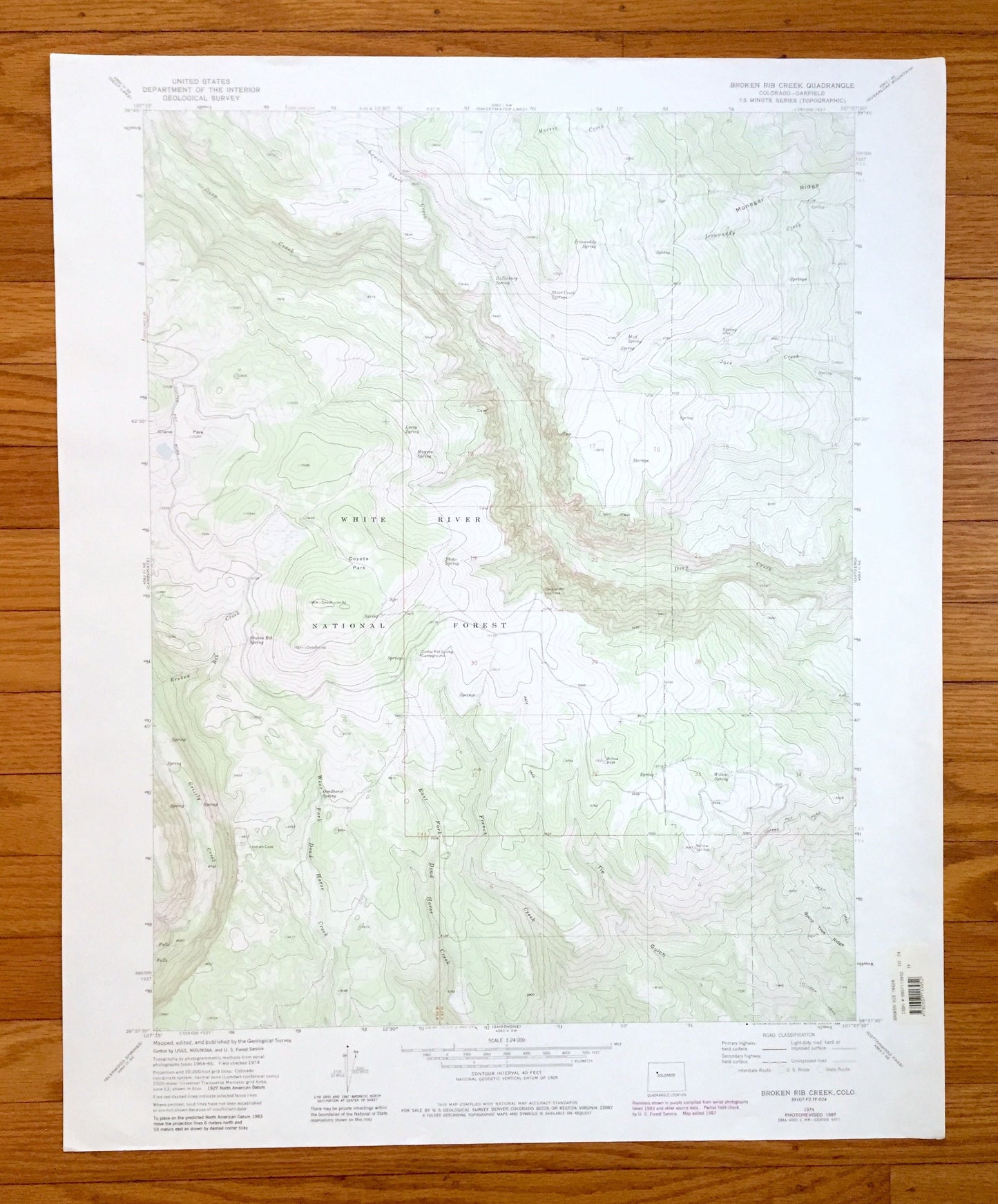
Antique Broken Rib Creek, Colorado 1974 US Geological Survey Topographic Map – White River National Forest, Garfield County, Deep Creek, CO
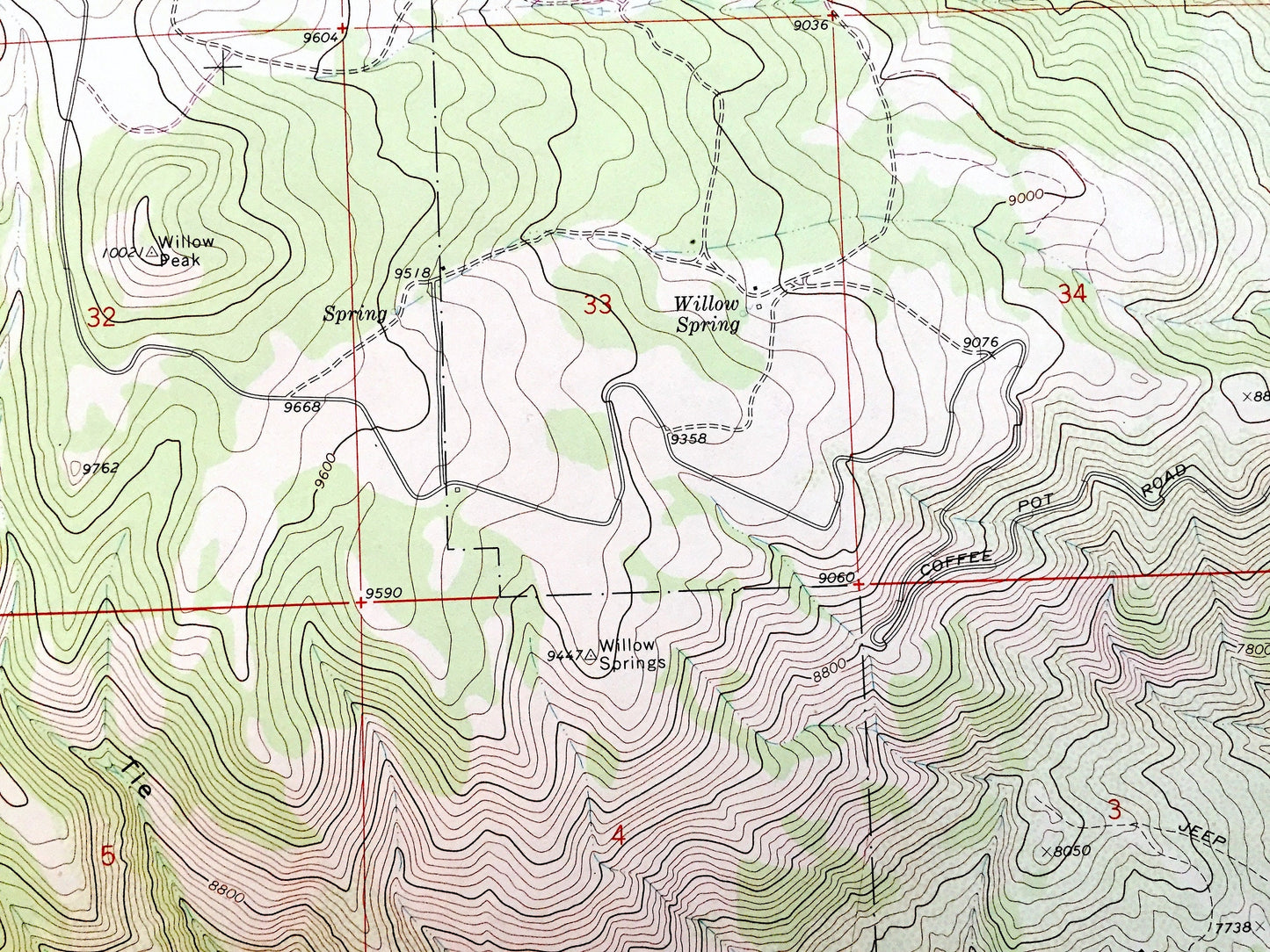
Antique Broken Rib Creek, Colorado 1974 US Geological Survey Topographic Map – White River National Forest, Garfield County, Deep Creek, CO
Beautiful, antique map of Broken Rib Creek, Colorado and surrounding Garfield County area, including White River National Forest. This is an authentic 1974 edition, 1988 print from the U.S. Geological Survey and NOT a computer reprint.
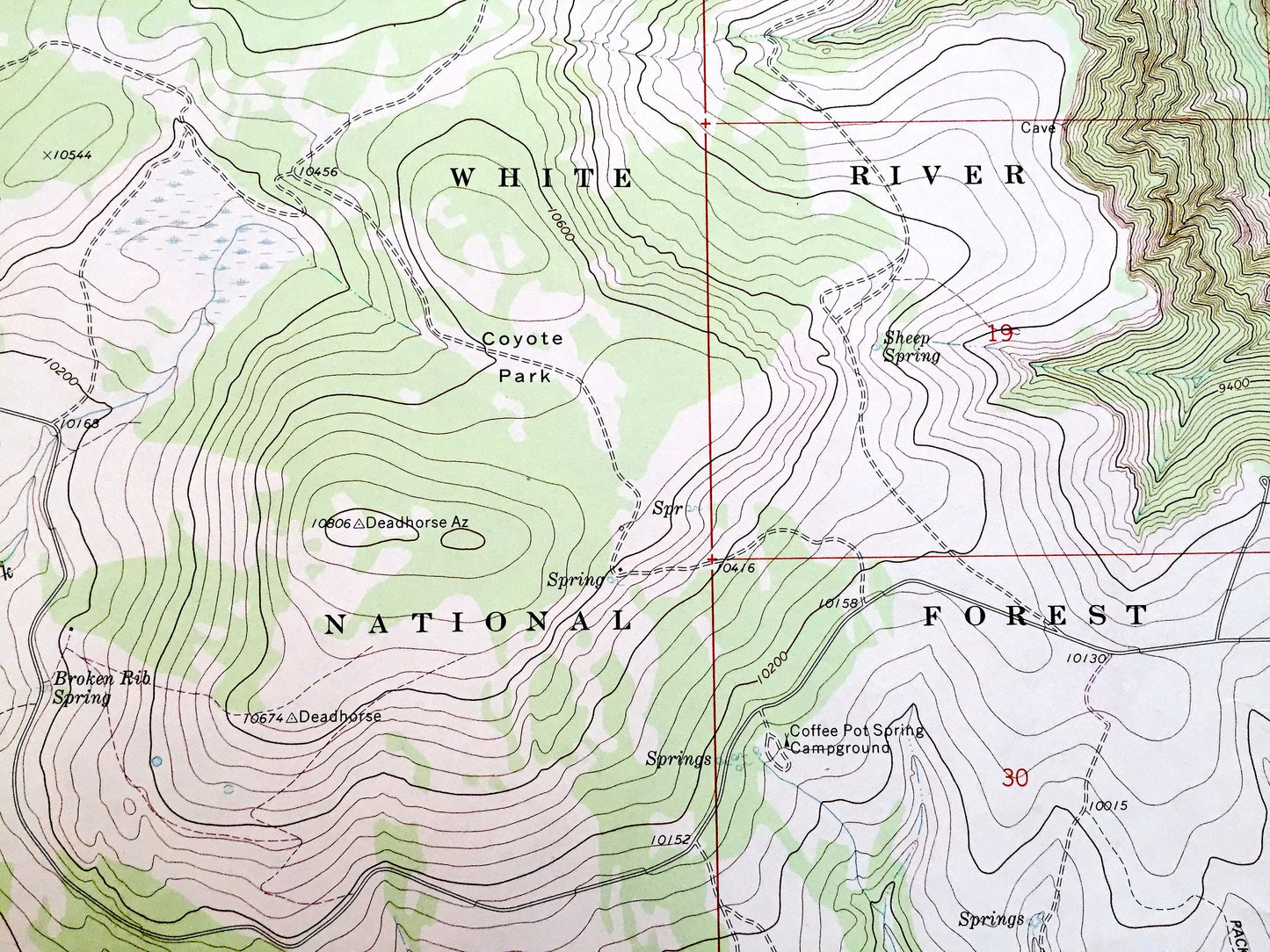
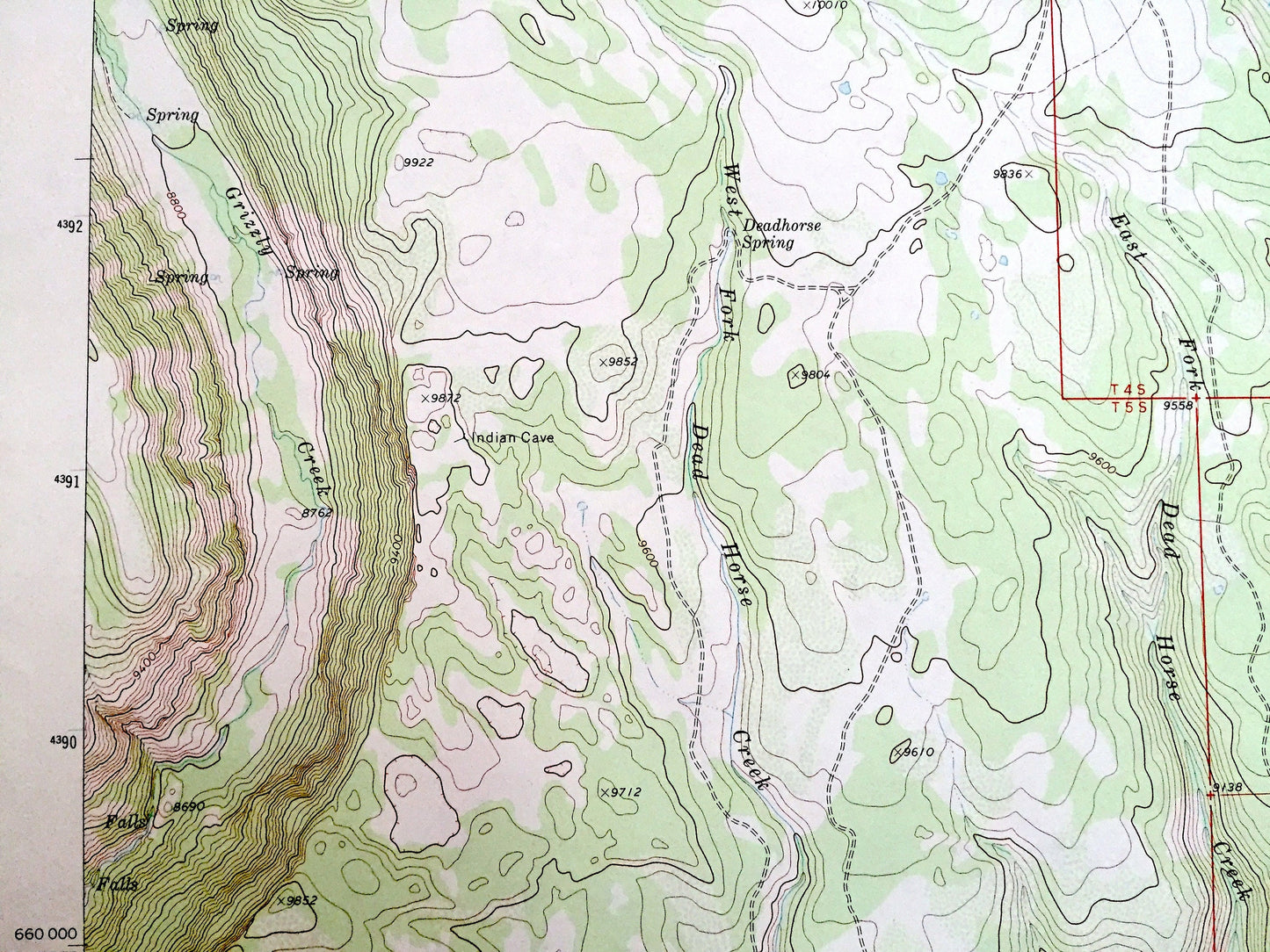
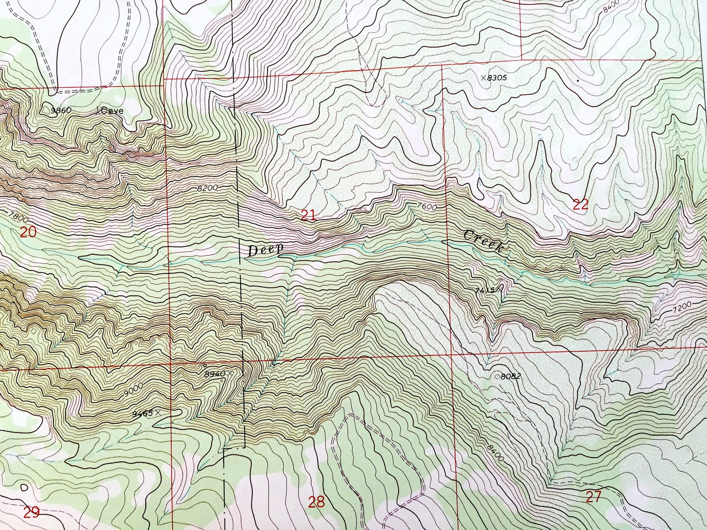
See what the Colorado Rockies looked like about 50 years ago. Lots of intricate details and geological contours. Map even has little squares for every house that existed. The USGS cartographers were very thorough back then!
Perfect for the historian, map-lover, the curious or just as a conversation starter. Wonderful and rare. Vintage maps such as these make great gifts.
Edition of 1974, printed 1988
Dimensions: 22" width x 27" height
----
Features
Points of Interest: Garfield County, White River National Forest, Deep Creek, Broken Rib Creek, Grizzly Creek, Dead Horse Creek, French Creek, Crane Park, Coyote Park, Short Creek, Morris Creek, Monegar Ridge, Irrawaddy Creek, Jack Creek, Coffee Pot Road, and many more smaller lakes, creeks, houses, schools, roads, camps and train tracks.
Condition: Very Good Vintage condition, commensurate with age. This map is in great shape for being over 30 years old.
----
We will happily adjust shipping price for multiple purchases. Maps are rolled up and shipped in sturdy mailing tubes, never folded.
Couldn't load pickup availability
Share