My Store
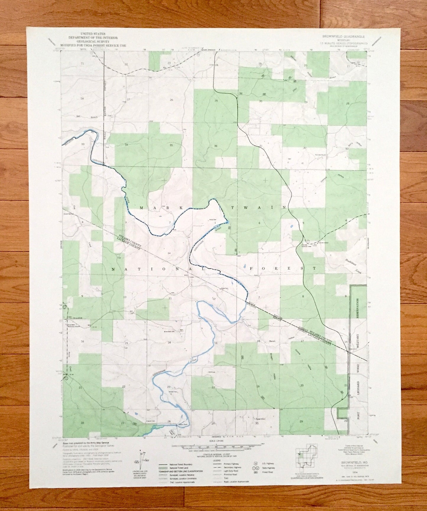
Antique Brownfield, Missouri 1954 US Geological Survey Topographic Map – Pulaski, Laclede County, Mark Twain National Forest, Adam Ford, MO
Antique Brownfield, Missouri 1954 US Geological Survey Topographic Map – Pulaski, Laclede County, Mark Twain National Forest, Adam Ford, MO
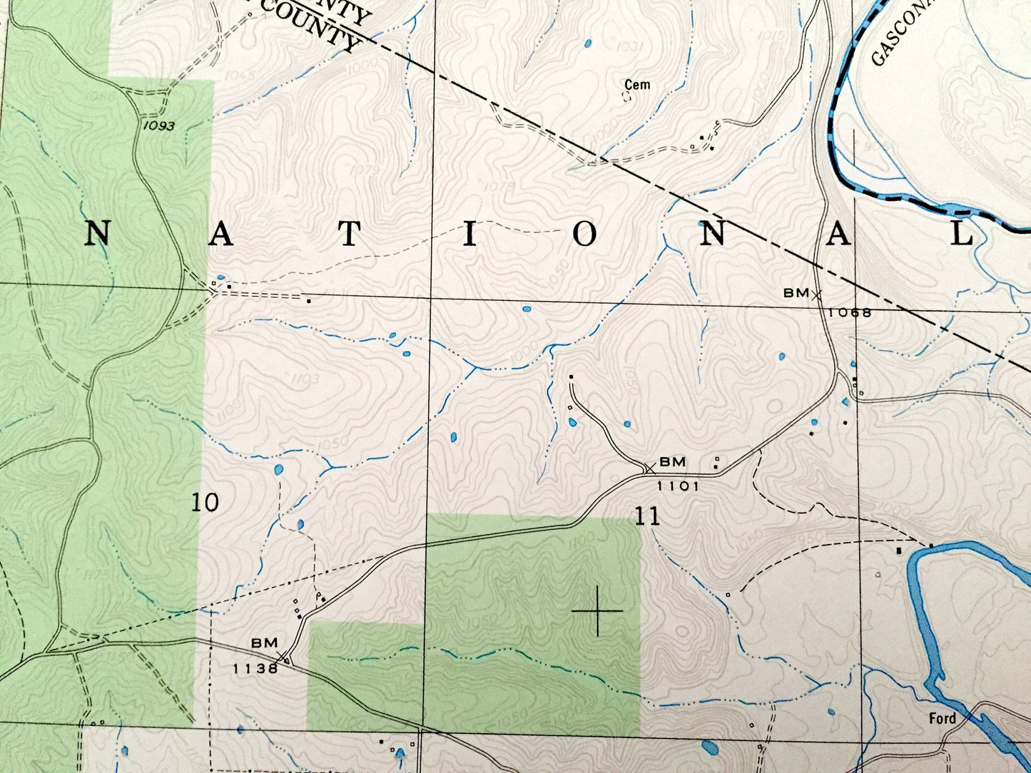
Beautiful, antique map of Brownfield, Missouri and surrounding Pulaski County and Laclede County areas. This is an authentic 1954 edition, 1977 print from the U.S. Geological Survey and NOT a computer reproduction.
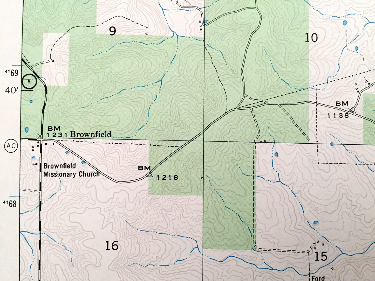
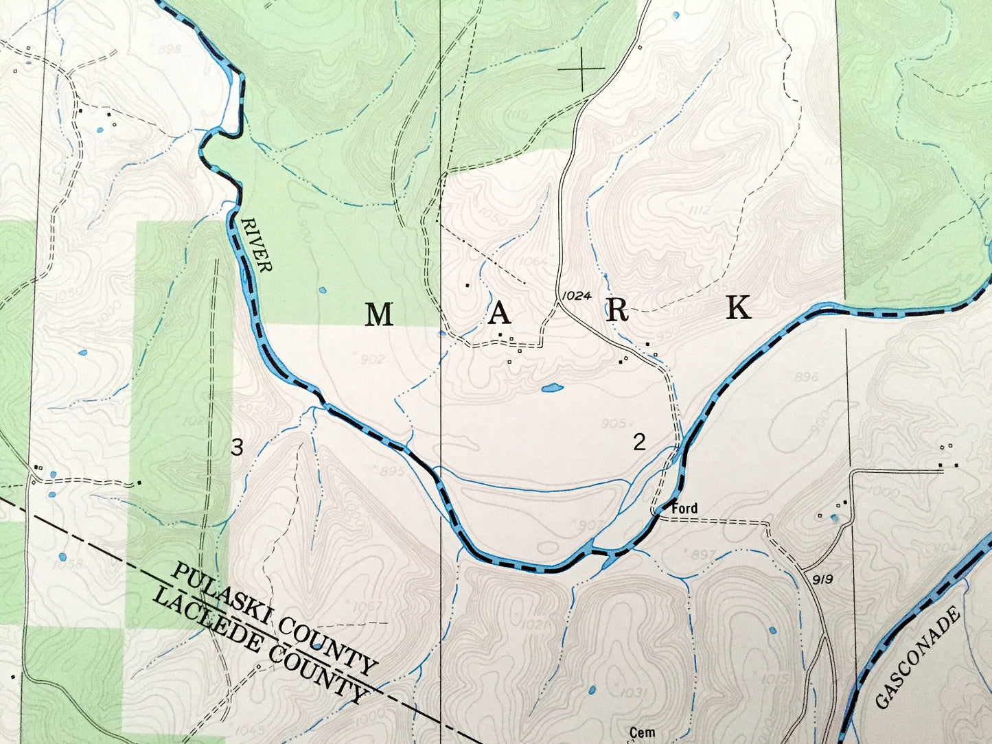
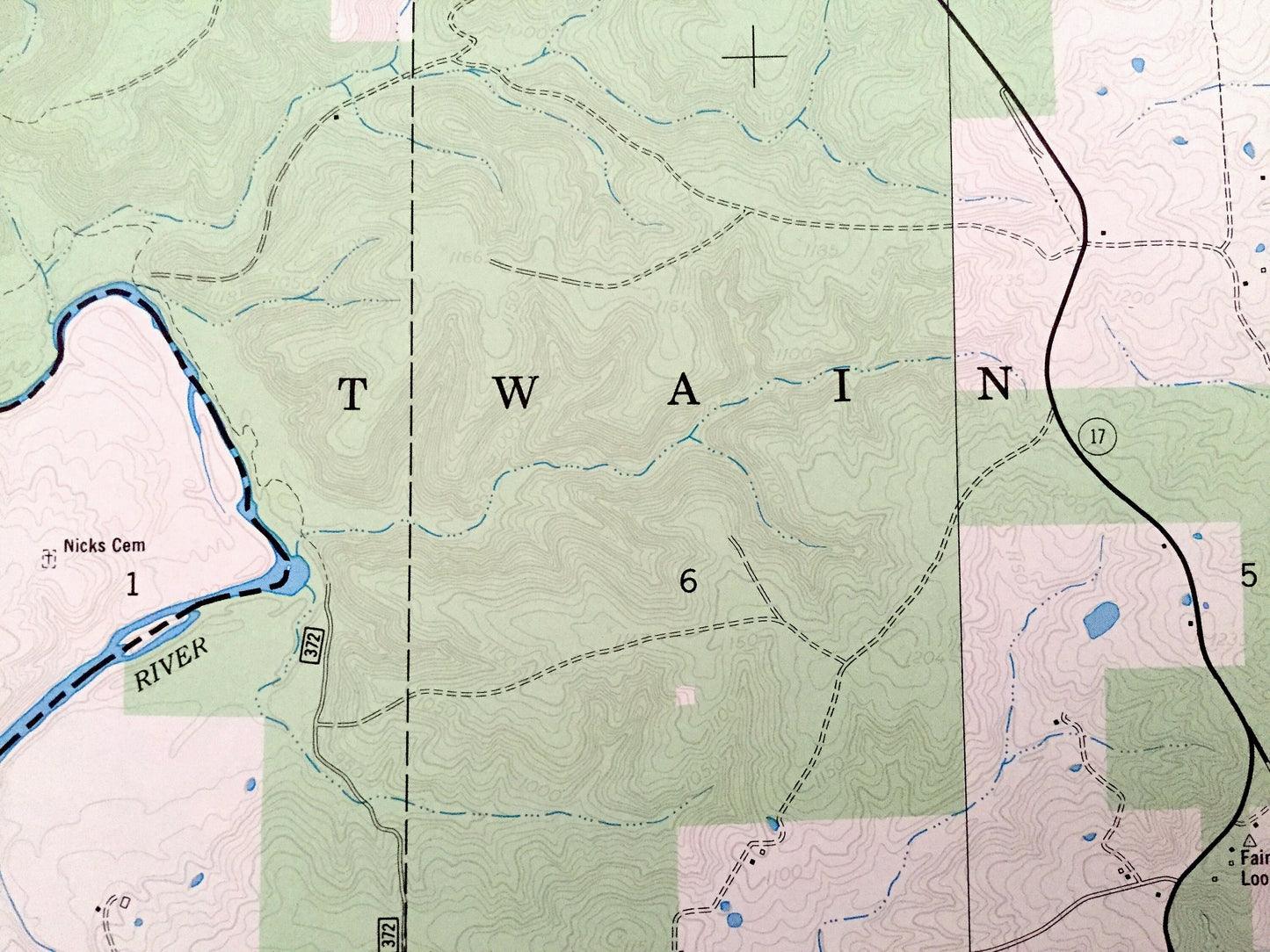
See what Missouri looked like over 65 years ago. Lots of intricate details and geological contours. Map even has little squares for every house that existed at the time. The USGS cartographers were very thorough back then!
Perfect for the historian, map-lover, the curious or just as a conversation starter. Wonderful and rare. Maps such as these make great gifts.
Edition of 1954, printed 1977
Dimensions: 22" width x 27" height
----
Features
Cities & Towns: Adam Ford.
Points of Interest: Mark Twain National Forest, Fort Leonard Wood Military Reservation, Gasconade River, Straight Hollow, Bench Hollow, Cantrel Hollow, Flatrock Hollow, Berry Hollow, Killman Hollow, Bell Branch, Cole Creek, Nelson Creek, Roubidoux Creek, Elliot Branch, and many more hills, streams, ponds, houses, schools, railroads, churches and roads.
Condition: Very Good Vintage condition, commensurate with age. This map is in incredible shape for being over 40 years old. Has light edge-wear but this will read as character when framed.
----
We will happily adjust shipping price for multiple purchases. Maps are rolled up and shipped in sturdy mailing tubes, never folded.
Couldn't load pickup availability
Share