My Store
Antique Bucksport, Maine 1927 US Geological Survey Topographic Map – Penobscot River, Newburgh, Hampden, Orrington, Winterport, Waldo County
Antique Bucksport, Maine 1927 US Geological Survey Topographic Map – Penobscot River, Newburgh, Hampden, Orrington, Winterport, Waldo County
Beautiful, antique map of Bucksport, Maine and Penobscot River area. This is an authentic 1949 print with 1927 data from the U.S. Geological Survey and NOT a computer reproduction.
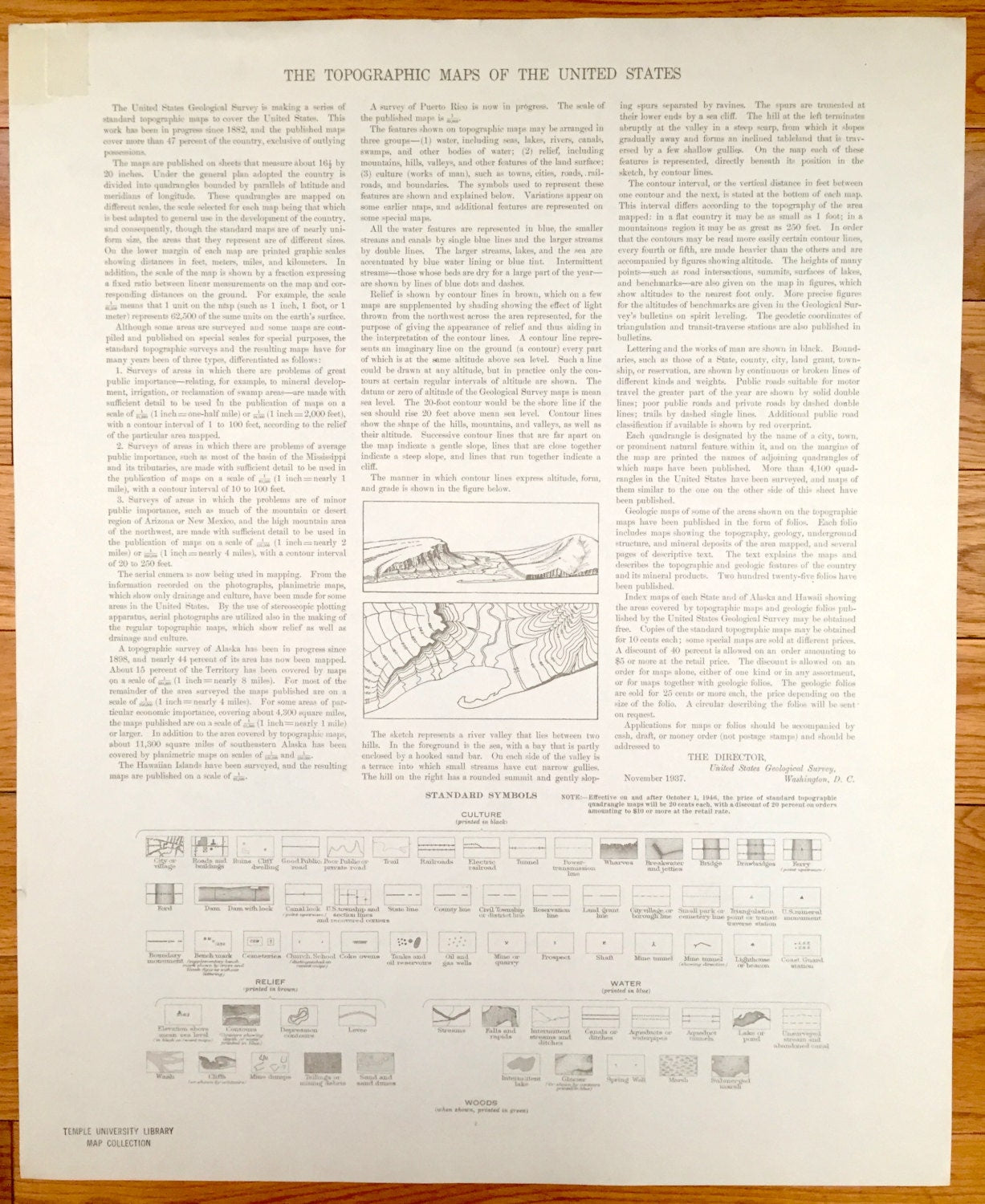
See what the Bucksport area looked like almost 100 years ago. Lots of intricate details and geological contours. Map even has little squares for every house that existed at the time. The USGS cartographers were very thorough back then! On the back is a description of topographic symbols and map guide.
Perfect for the historian, map-lover, the curious or just as a conversation starter. Wonderful and rare. Vintage maps such as these make great gifts.
Edition of 1927, printed 1948
Dimensions: 17" width x 21" height
----
Features
Cities & Towns: Newburgh, Hampden, Orrington, Winterport, Bucksport, Monroe, Frankfort, Prospect, Swanville, Searsport, Stockton Spring, Verona, Penobscot.
Points of Interest: Penobscot County, Waldo County, Penobscot River, Swan Lake, Verona Island, Silver Lake, Halfmoon Pond, Fort Knox, Mount Waldo, Mount Ephraim and many more streams, ponds, swamps, villages and mountains.
Condition: Very Good Vintage condition, commensurate with age. This map is in great shape for being over 75 years old. Has light wear but this will add to character when framed.
----
We will happily adjust shipping price for multiple purchases. Maps are rolled up and shipped in sturdy mailing tubes, never folded.
Couldn't load pickup availability
Share