My Store
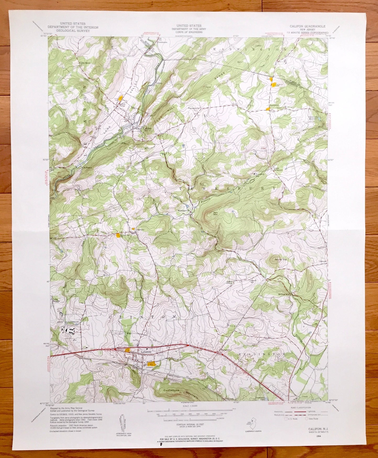
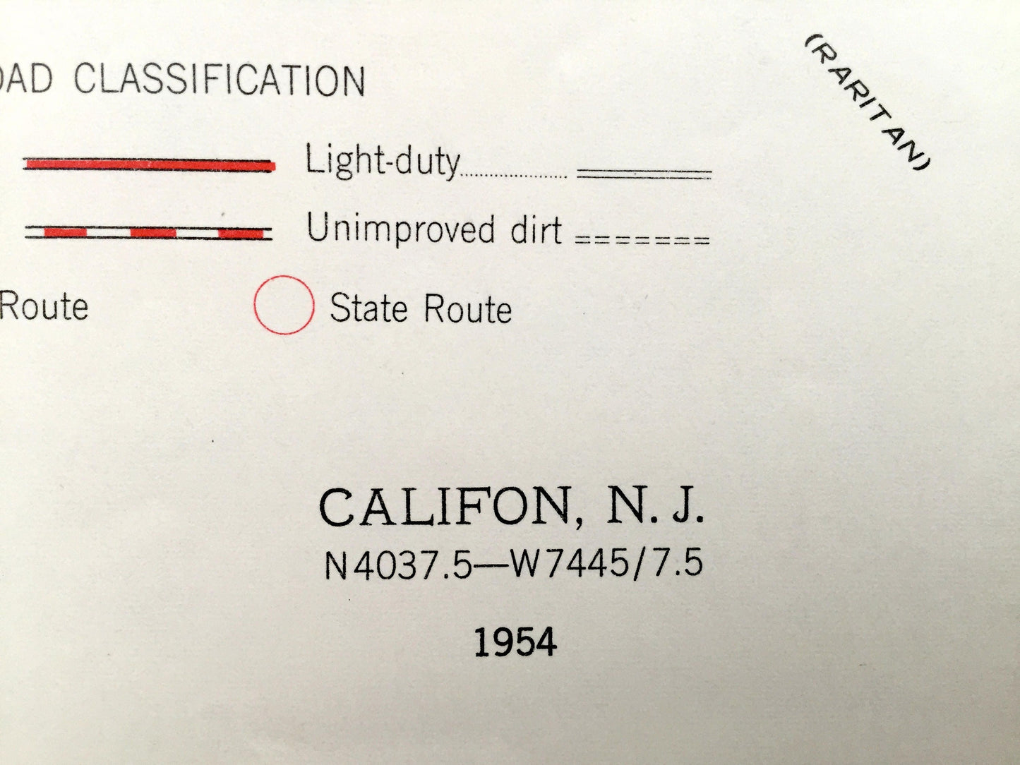
Antique Califon, New Jersey 1954 US Geological Survey Topographic Map – Clinton, Lebanon, Tewksbury Washington Fairmount Hunterdon Morris NJ
Antique Califon, New Jersey 1954 US Geological Survey Topographic Map – Clinton, Lebanon, Tewksbury Washington Fairmount Hunterdon Morris NJ
Beautiful, antique map of Califon, New Jersey and surrounding Hunterdon & Morris County areas. This is an authentic 1954 print of 1954 survey data from the U.S. Geological Survey and NOT a computer reproduction.
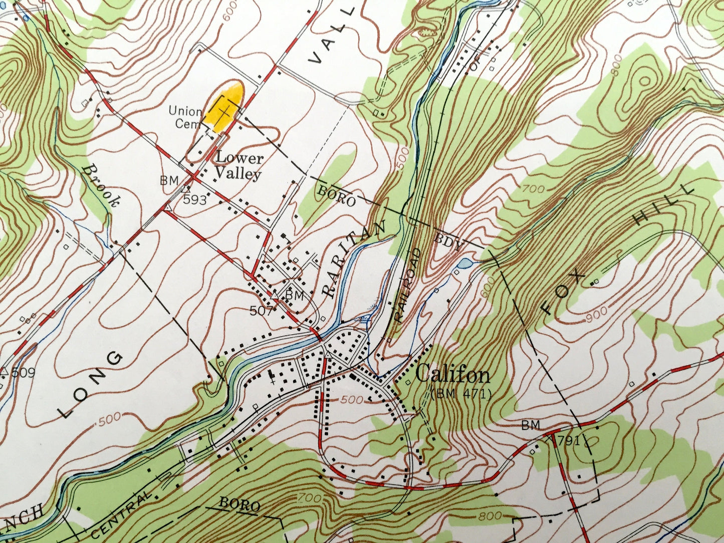
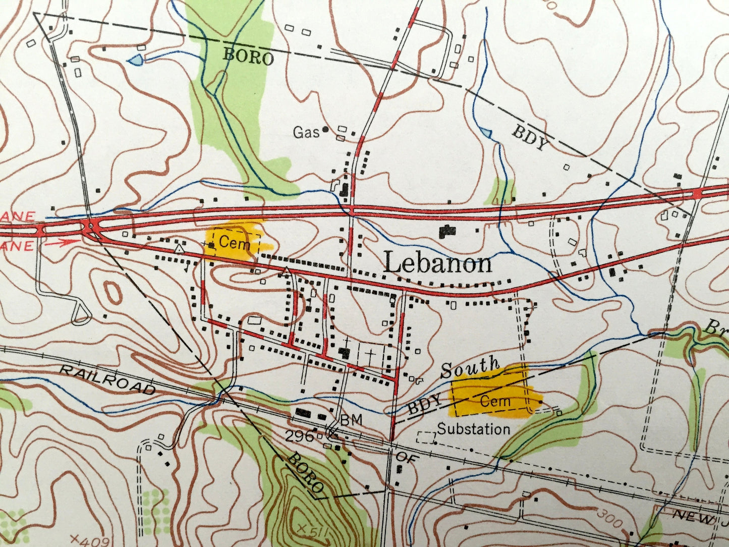
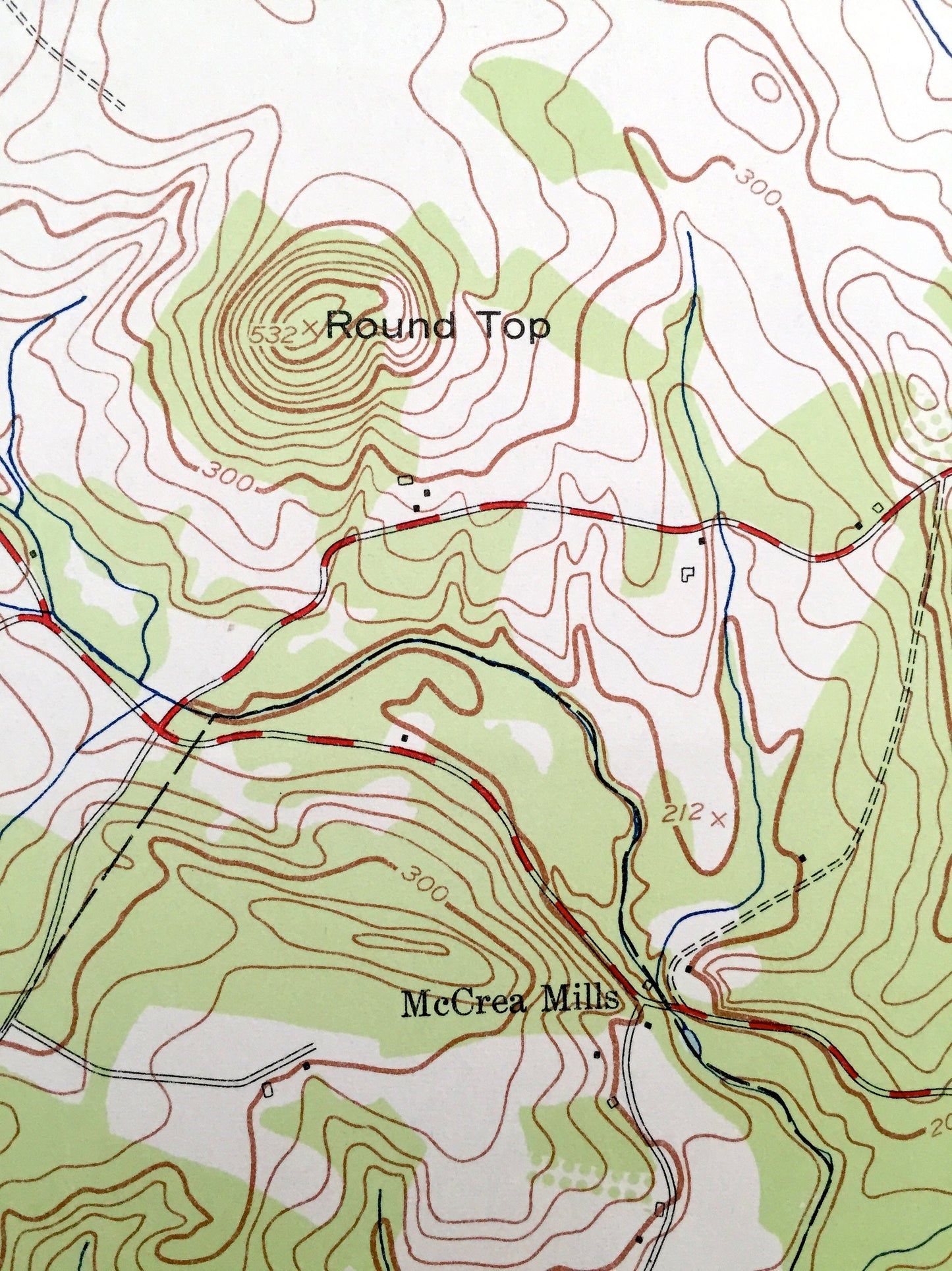
See what New Jersey looked like over 60 years ago. Lots of intricate details and geological contours. Map even has little squares for every house that existed at the time. The USGS cartographers were very thorough back then!
Perfect for the historian, map-lover, the curious or just as a conversation starter. Wonderful and rare. Vintage maps such as these make great gifts.
Edition of 1954, printed 1954
Dimensions: 22" width x 27" height
----
Features
Cities & Towns: Clinton, Califon, Lebanon, Tewksbury, Readington, Mountainville, Cokesbury, Lower Fairmount, Cedar Heights, Little Brook, Washington, Fairmount, Apgars Corner, McCrea Mills, Oldwick.
Points of Interest: Cushetunk Mountain, Rockaway Creek, Raritan River, Long Valley, Fox Hill Range, and lots more hills, towns, streams, ponds, churches, schools, houses, and roads.
Condition: Very Good condition, commensurate with age. This map is in incredible shape for being over 60 years old. Has some edge-wear, which will read as character when framed.
----
We will happily adjust shipping price for multiple purchases. Maps are rolled up and shipped in sturdy mailing tubes, never folded.
Couldn't load pickup availability
Share