My Store
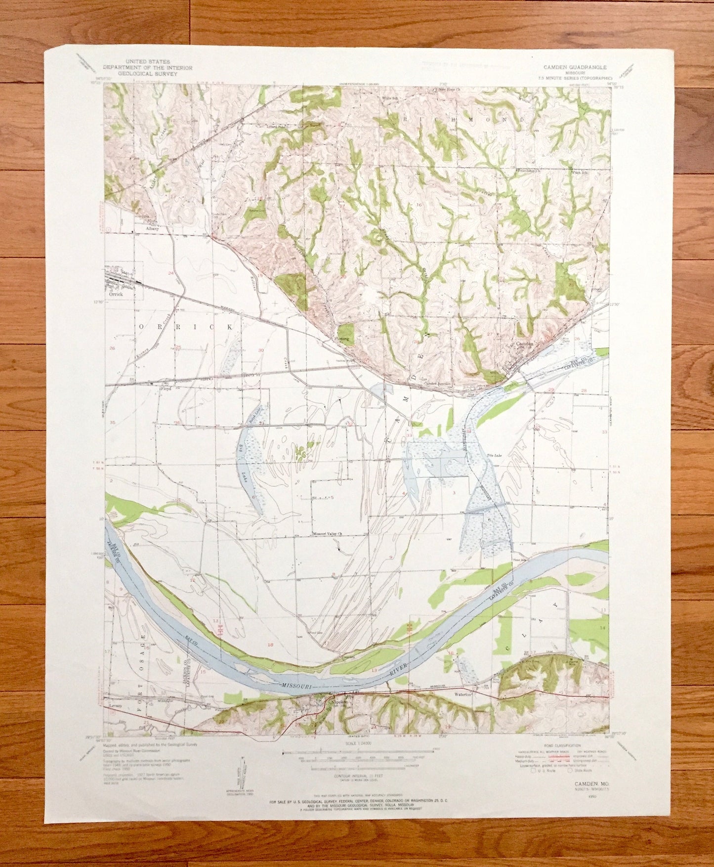
Antique Camden, Missouri 1950 US Geological Survey Topographic Map – Ray, Jackson, Lafayette County, Orrick, Fort Osage, Napoleon, Clay, MO
Antique Camden, Missouri 1950 US Geological Survey Topographic Map – Ray, Jackson, Lafayette County, Orrick, Fort Osage, Napoleon, Clay, MO
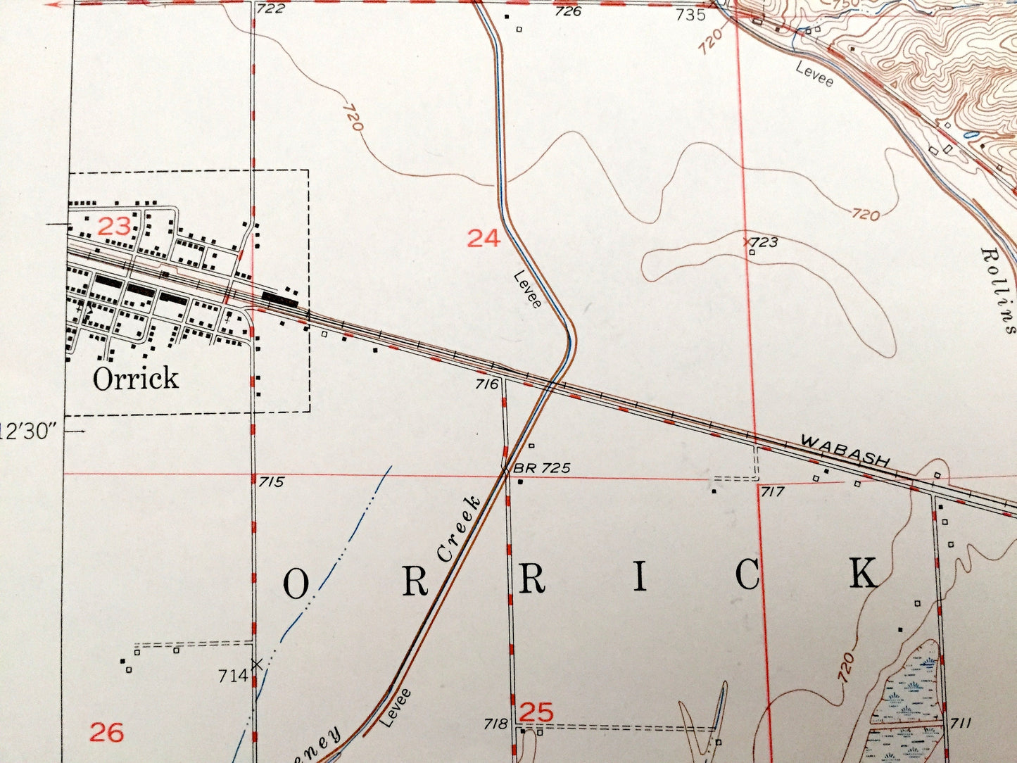
Beautiful, antique map of Camden, Missouri and surrounding Jackson County, Lafayette County, and Ray County areas. This is an authentic 1950 edition, 1955 print from the U.S. Geological Survey and NOT a computer reproduction.
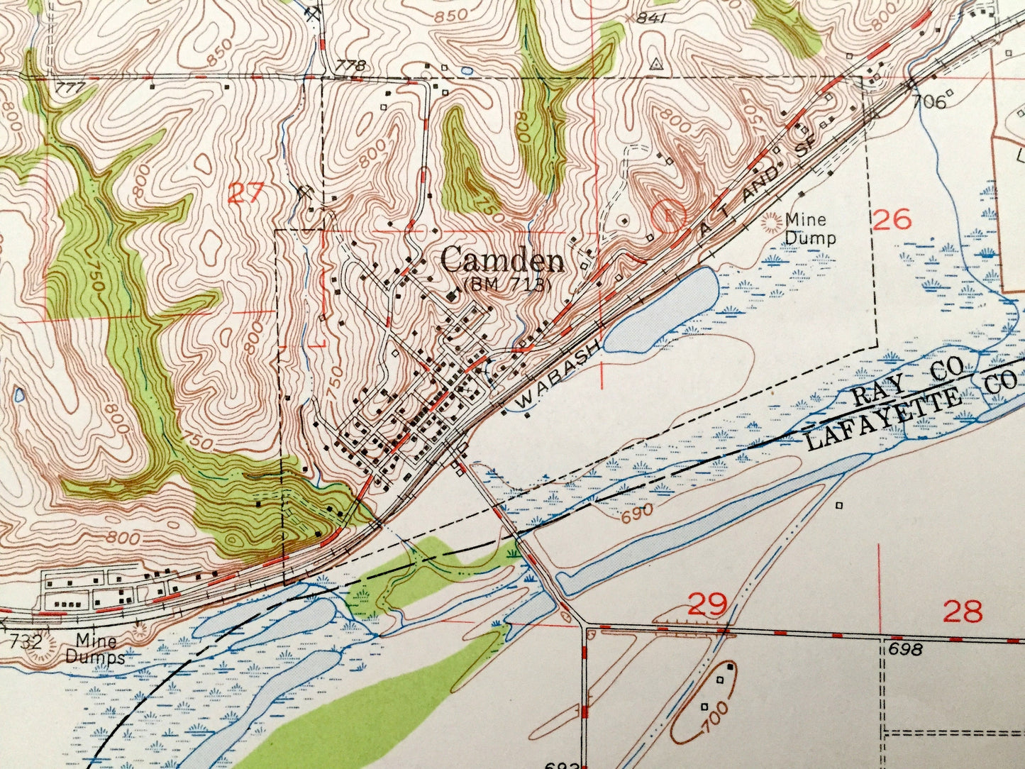
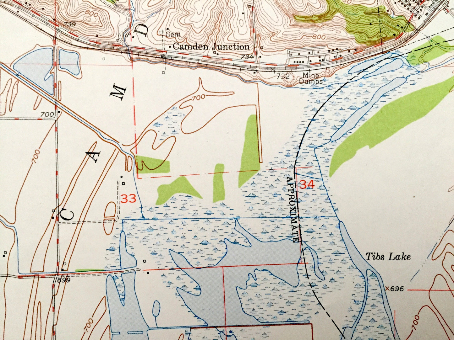
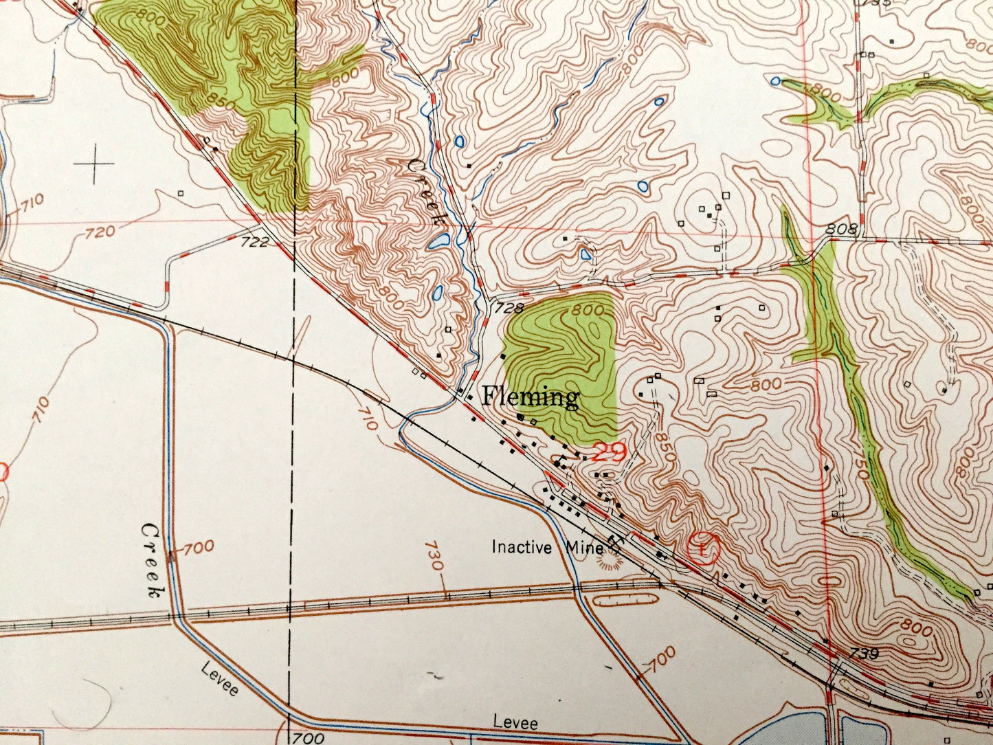
See what Missouri looked like over 70 years ago. Lots of intricate details and geological contours. Map even has little squares for every house that existed at the time. The USGS cartographers were very thorough back then!
Perfect for the historian, map-lover, the curious or just as a conversation starter. Wonderful and rare. Vintage maps such as these make great gifts.
Edition of 1950, printed 1955
Dimensions: 22" width x 27" height
----
Features
Cities & Towns: Richmond, Albany, Floyd, Levasy, Waterloo, Clay, Camden Junction, Fleming.
Points of Interest: Missouri River, Big Lake, Ralph Lake, Tibs Lake, Keeney Creek, Fire Prairie Creek, Rollins Creek, Panther Creek, West Fork, East Fork, Brady Creek, Cravens Creek, Willow Creek, township schools, and many more hills, streams, ponds, houses, schools, railroads, churches and roads.
Condition: Very Good Vintage condition, commensurate with age. This map is in great shape for being over 65 years old. Has light edge-wear but will read as character when framed.
----
We will happily adjust shipping price for multiple purchases. Maps are rolled up and shipped in sturdy mailing tubes, never folded.
Couldn't load pickup availability
Share