My Store
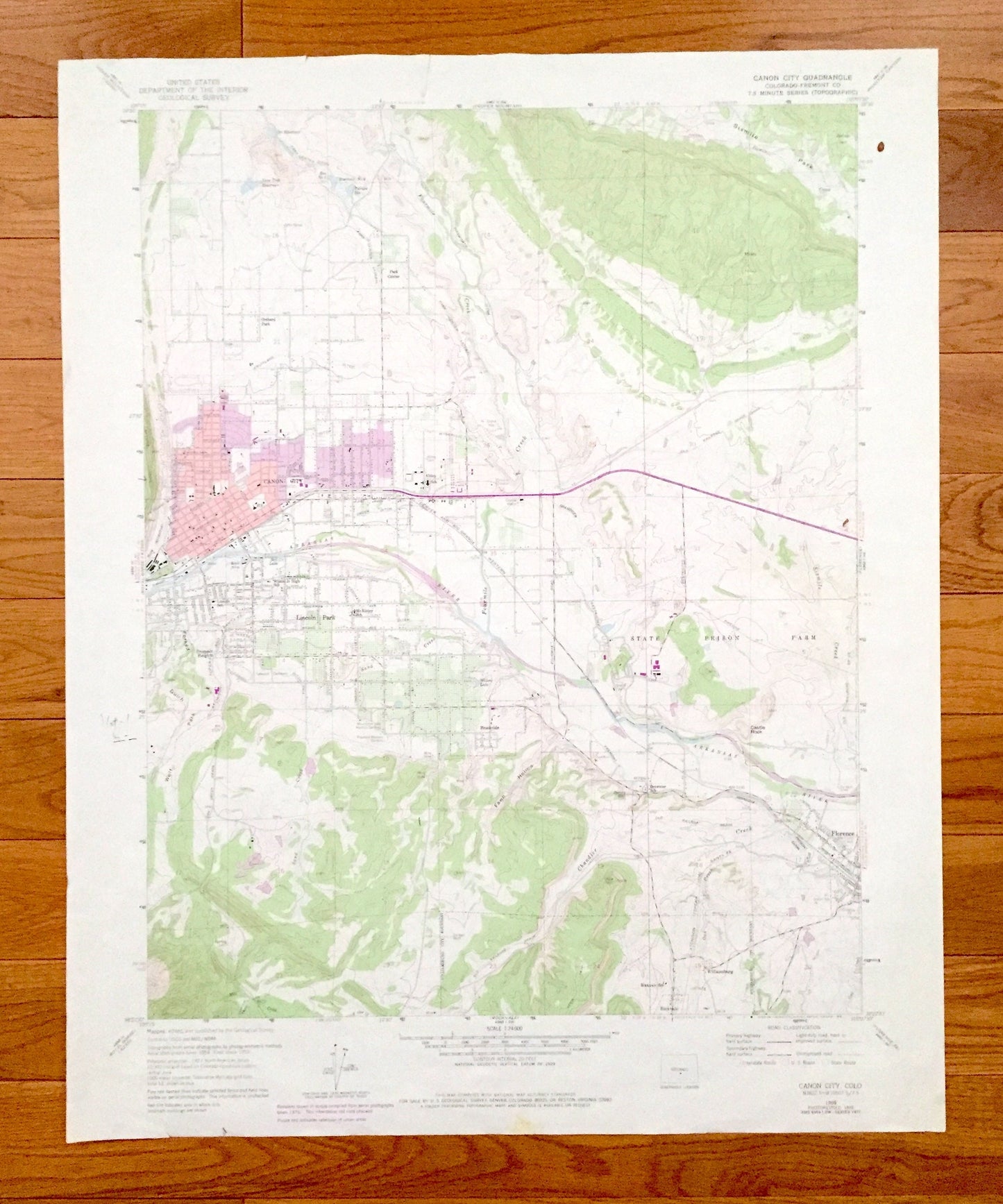
Antique Canon City, Colorado 1959 US Geological Survey Topographic Map – Fremont County, Lincoln Park, Florence, Orchard Park, Brookside, CO
Antique Canon City, Colorado 1959 US Geological Survey Topographic Map – Fremont County, Lincoln Park, Florence, Orchard Park, Brookside, CO
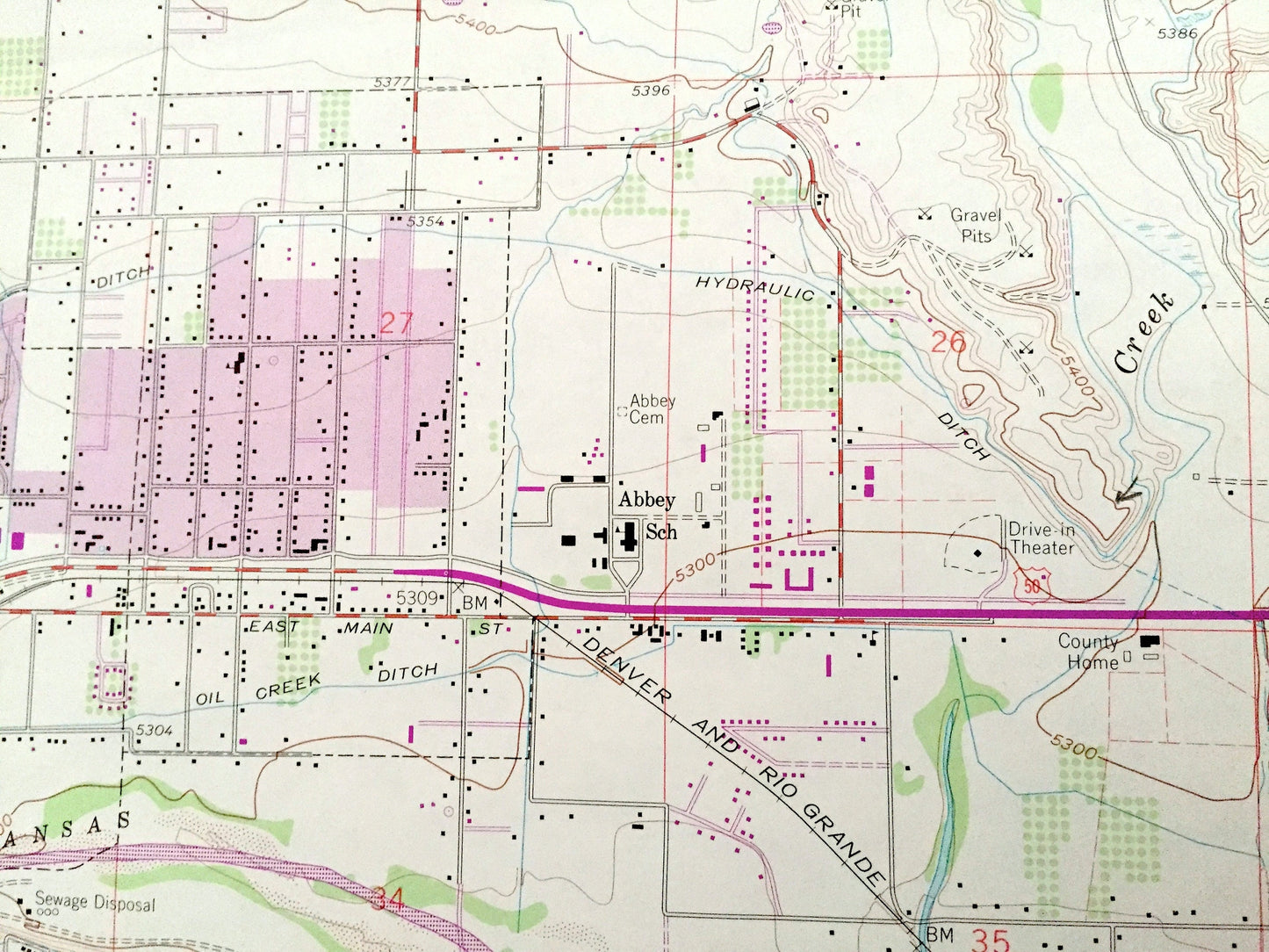
Beautiful, antique map of Canon City, Colorado and surrounding Fremont County area. This is an authentic 1959 edition, 1978 print from the U.S. Geological Survey and NOT a computer reprint.
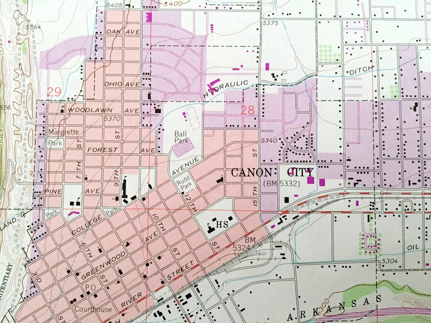
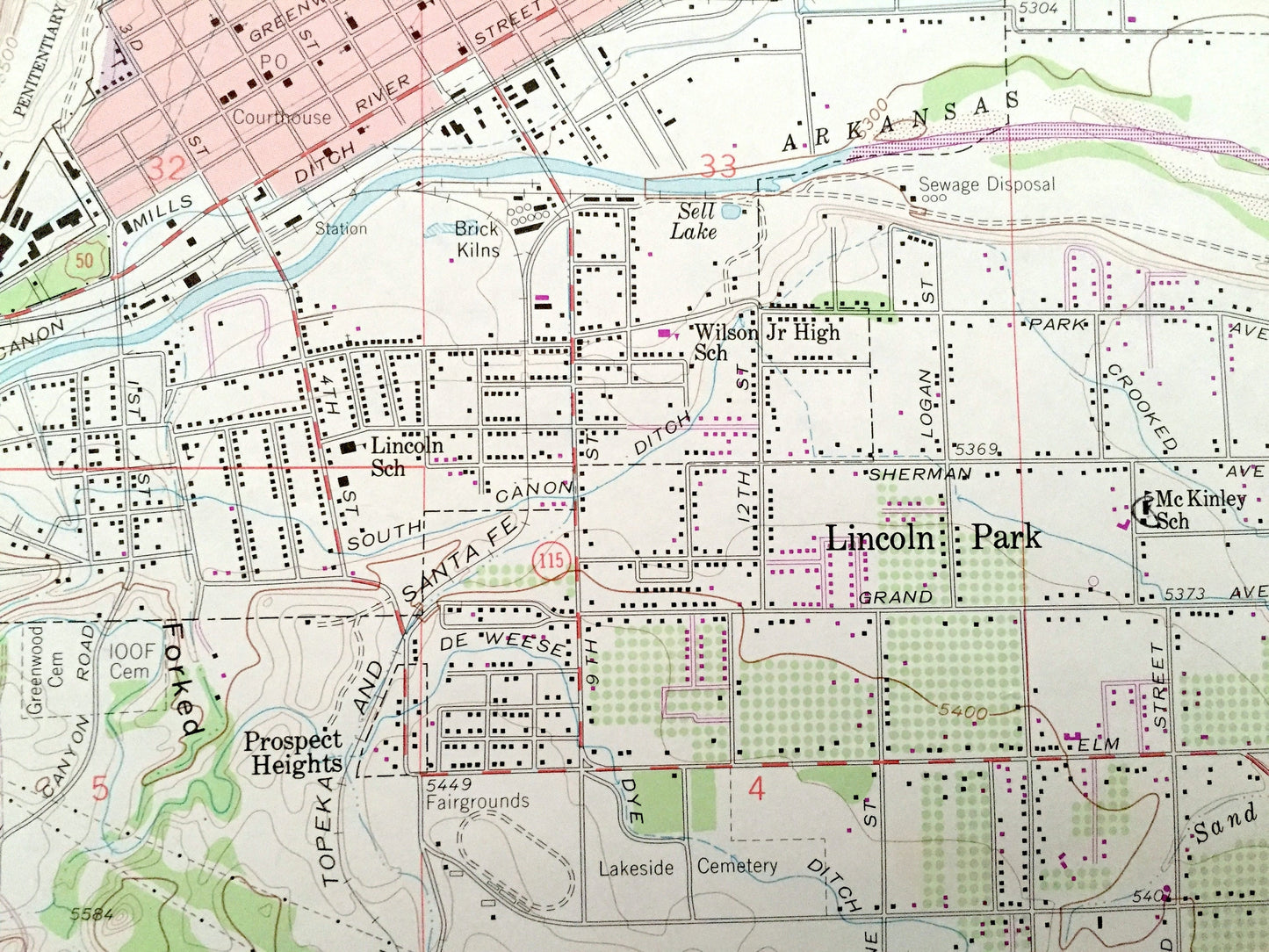
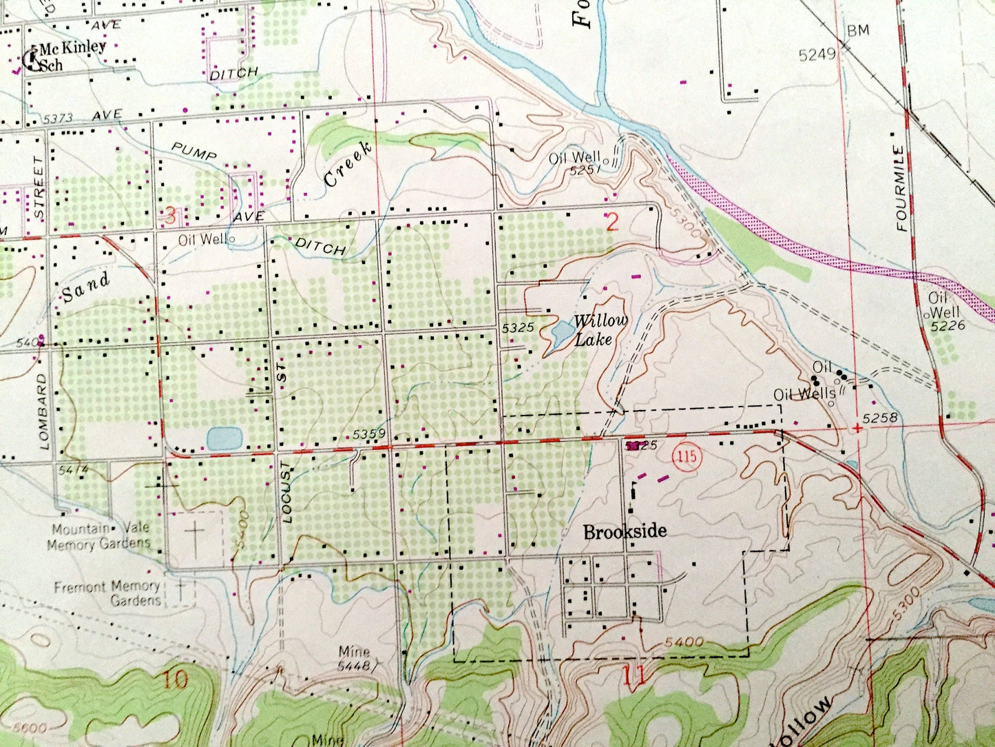
See what Colorado looked like over 60 years ago. Lots of intricate details and geological contours. Map even has little squares for every house that existed. The USGS cartographers were very thorough back then!
Perfect for the historian, map-lover, the curious or just as a conversation starter. Wonderful and rare. Vintage maps such as these make great gifts.
Edition of 1959, printed 1978
Dimensions: 22" width x 27" height
----
Features
Cities & Towns: Prospect Heights, Williamsburg, Rockvale.
Points of Interest: State Prison Farm, State Penitentiary, Sixmile Park, Forked Gulch, Wolf Park, Fawn Hollow, Castle Rock, Arkansas River, Fourmile Creek, Sixmile Creek, Sand Creek, Chandler Creek, Oak Creek, Mill Creek, Ott Reservoir, Turner Reservoir, Lone Tree Reservoir, Sell Lake, Willow Lake, Minnequa Canal, Fremont Ditch, and many more hills, streams, ponds, houses, schools, railroads, churches and roads.
Condition: Very Good Vintage condition, commensurate with age. This map is in great shape for being over 40 years old. Has some edge-wear but will read as character when framed.
----
We will happily adjust shipping price for multiple purchases. Maps are rolled up and shipped in sturdy mailing tubes, never folded.
Couldn't load pickup availability
Share