My Store
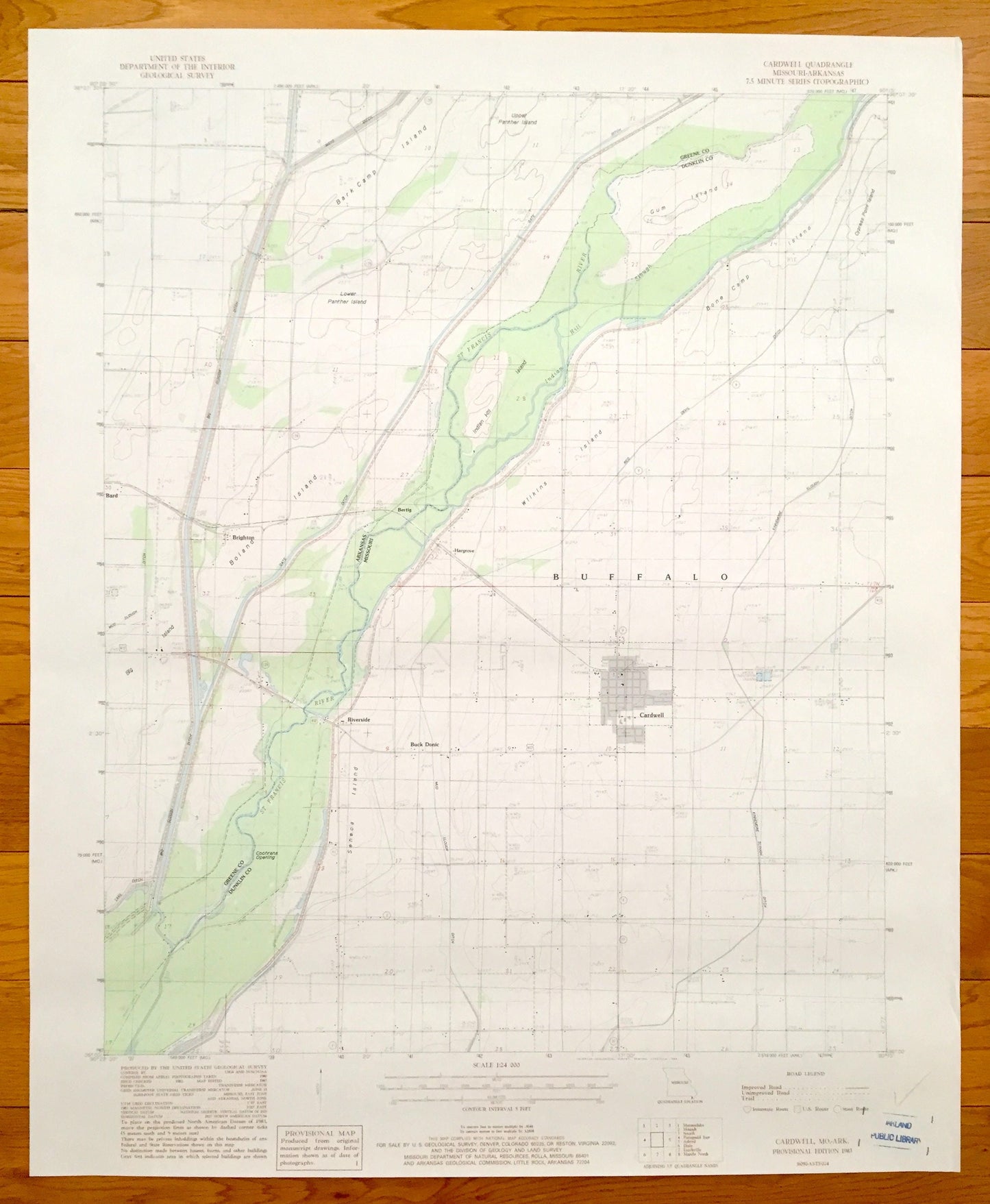
Antique Cardwell, Missouri & Brighton, Arkansas, 1983 US Geological Survey Topographic Map – Bard, Buck Donic, Riverside, Barkcamp Island
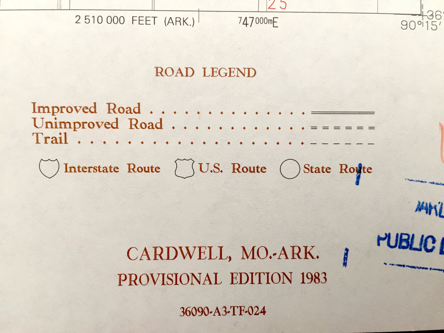
Antique Cardwell, Missouri & Brighton, Arkansas, 1983 US Geological Survey Topographic Map – Bard, Buck Donic, Riverside, Barkcamp Island
Beautiful, antique map of Buffalo, Cardwell, Buck Donic and Riverside, Missouri, including Bard and Brighton, Arkansas. This is an authentic 1983 print from the U.S. Geological Survey and NOT a computer reproduction.
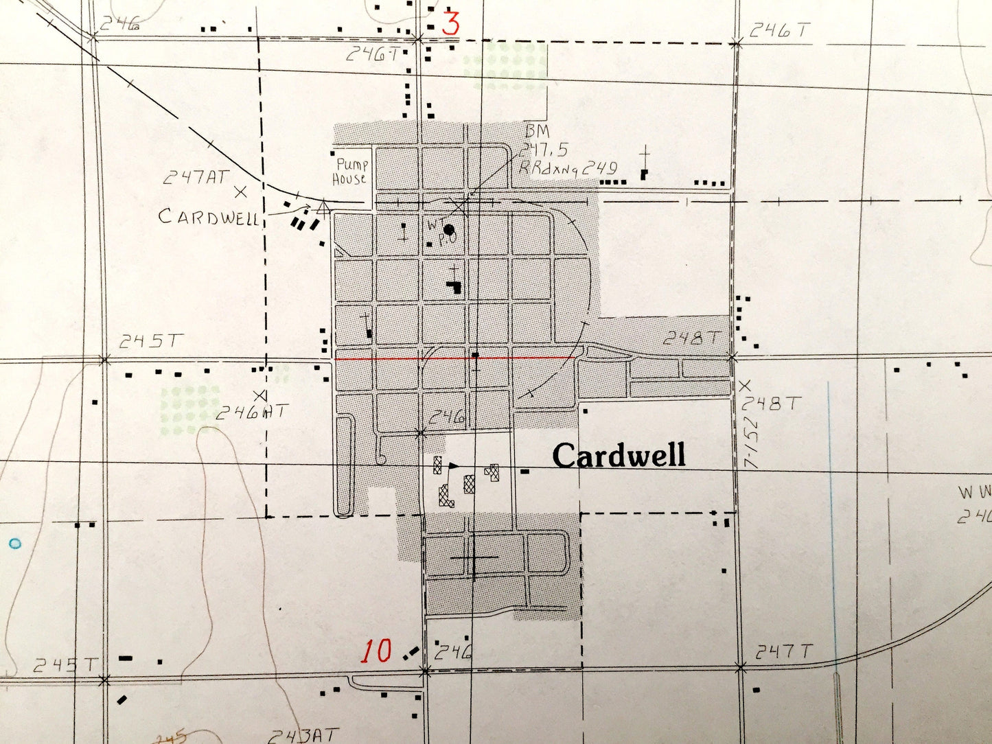
See what Green County, Arkansas and Dunklin County, Missouri looked like almost 35 years ago. Lots of intricate details and geological contours. Map even has little squares for every house that existed at the time. The USGS cartographers were very thorough back then!
Perfect for the historian, map-lover, the curious or just as a conversation starter. Wonderful and rare. Vintage maps such as this make great gifts.
Edition of 1983, printed 1983
Dimensions: 22" width x 27" height
----
Features
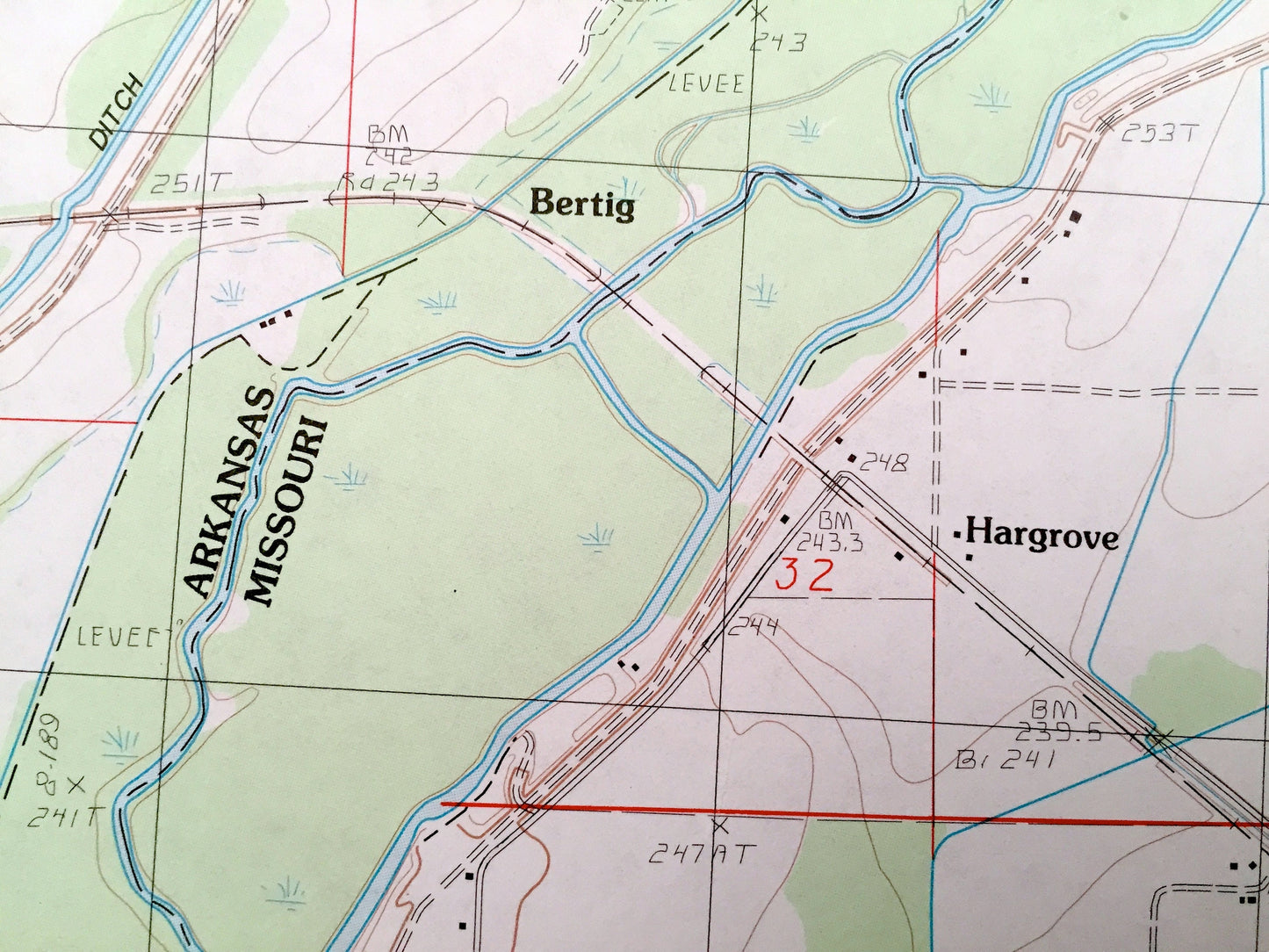
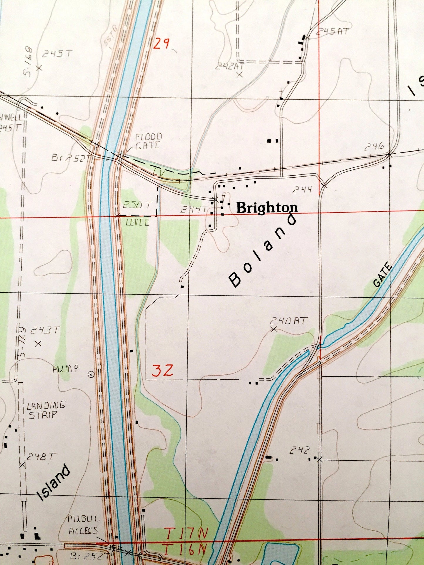
Cities & Towns: Arkansas: Bard, Brighton. Missouri: Buck Donic, Hargrove, Riverside, Buffalo, Cardwell, Bark Camp Island, Indian Hill, Gum Island, Big Island, Boland Island, Bone Camp Island, Wilkins Island.
Points of Interest: Big Slough Ditch, St Francis River, Water Stabilization Lagoon, Cochrans Opening, Indian Hill and many more roads and houses.
Condition: Very Good condition, commensurate with age. This map is in incredible shape for being almost 35 years old.
----
We will happily adjust shipping price for multiple purchases. Maps are rolled up and shipped in sturdy mailing tubes, never folded.
Couldn't load pickup availability
Share