My Store
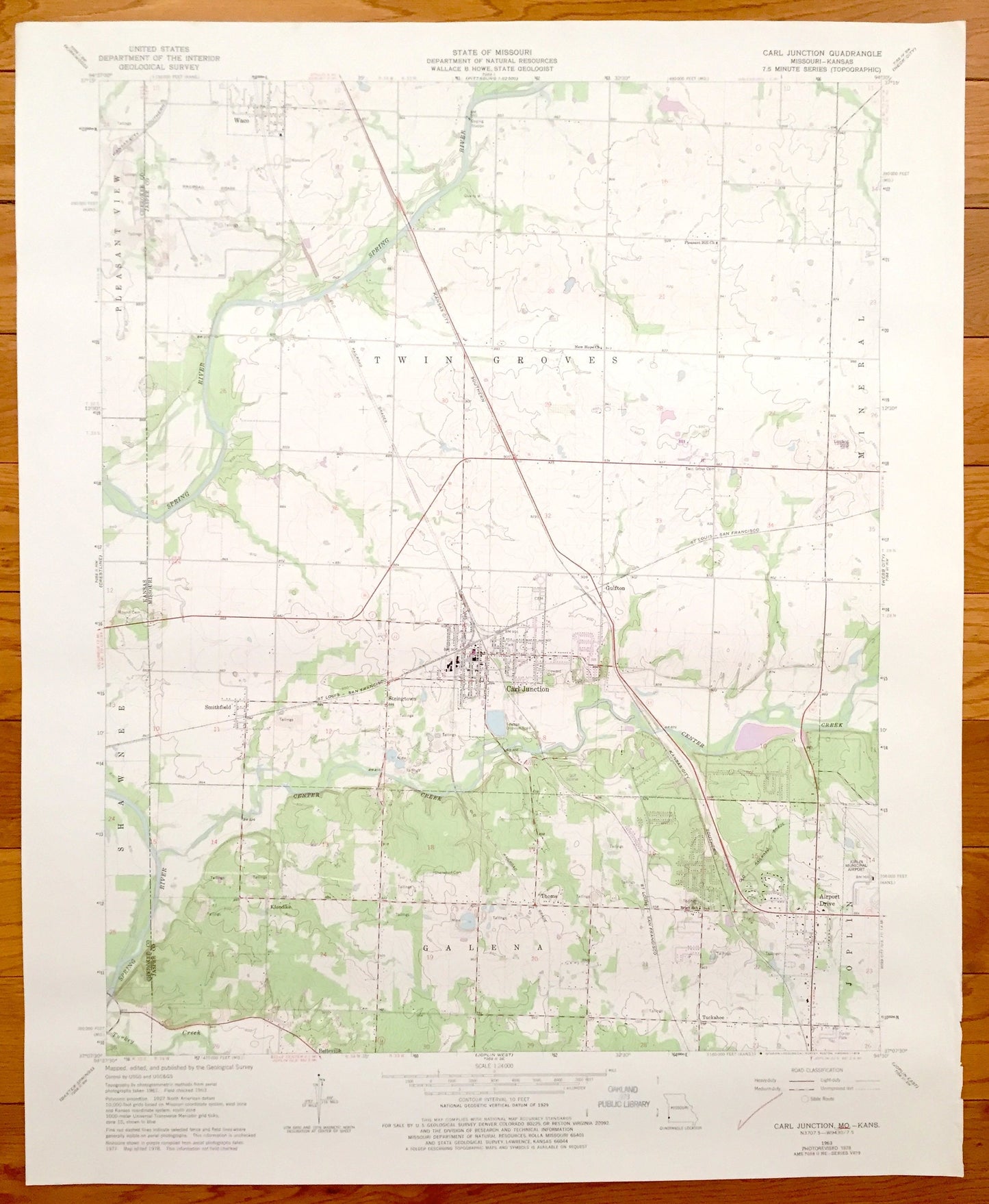
Antique Carl Junction, Missouri & Shawnee, Kansas 1963 US Geological Survey Topographic Map – Smithfield, Klondike, Galena, Joplin
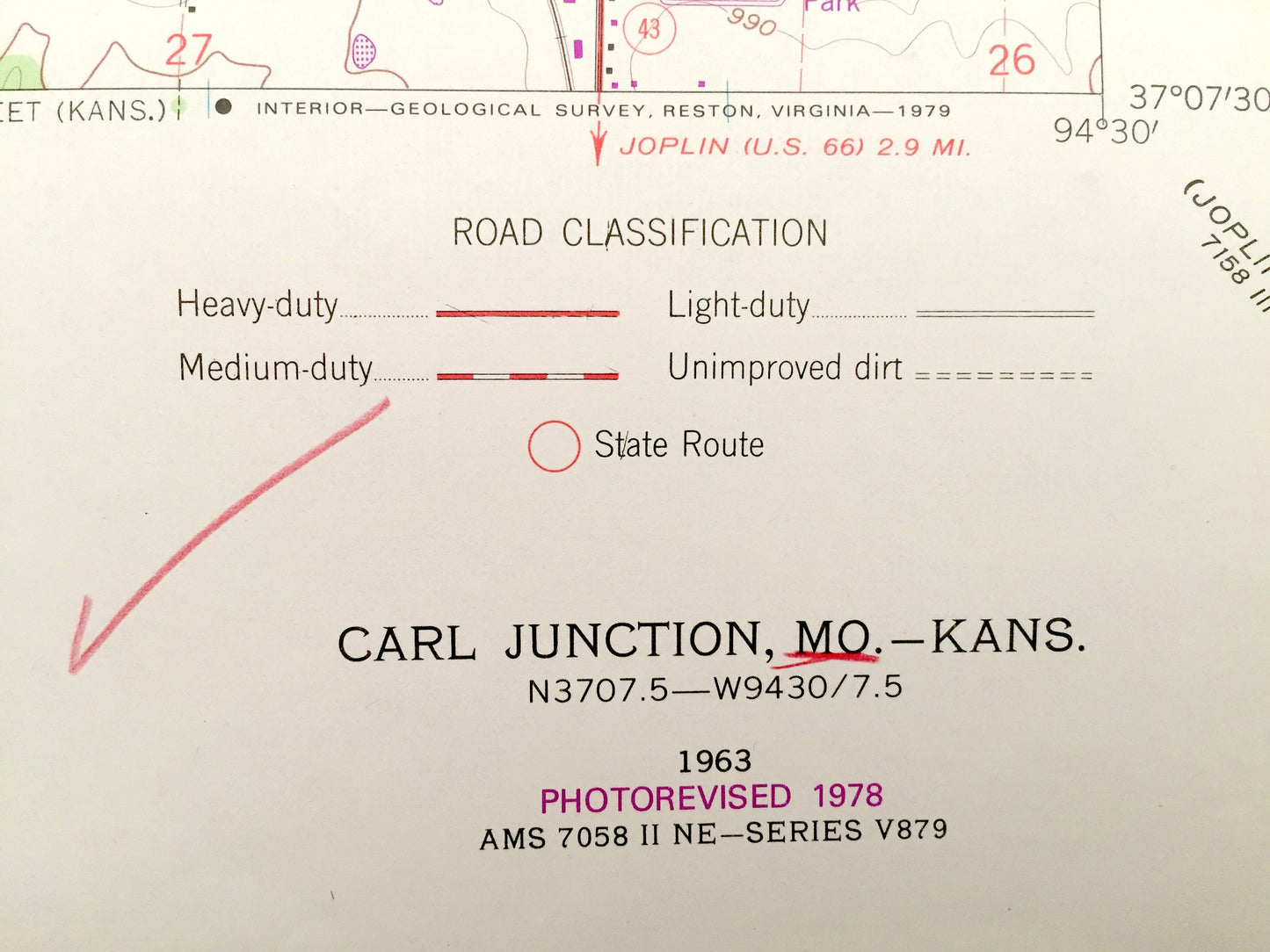
Antique Carl Junction, Missouri & Shawnee, Kansas 1963 US Geological Survey Topographic Map – Smithfield, Klondike, Galena, Joplin
Beautiful, antique map of Galena, Joplin, Carl Junction, Twin Groves, Missouri, including Shawnee & Pleasant View, Kansas. This is an authentic 1978 of print of 1963 survey data from the U.S. Geological Survey and NOT a computer reproduction.
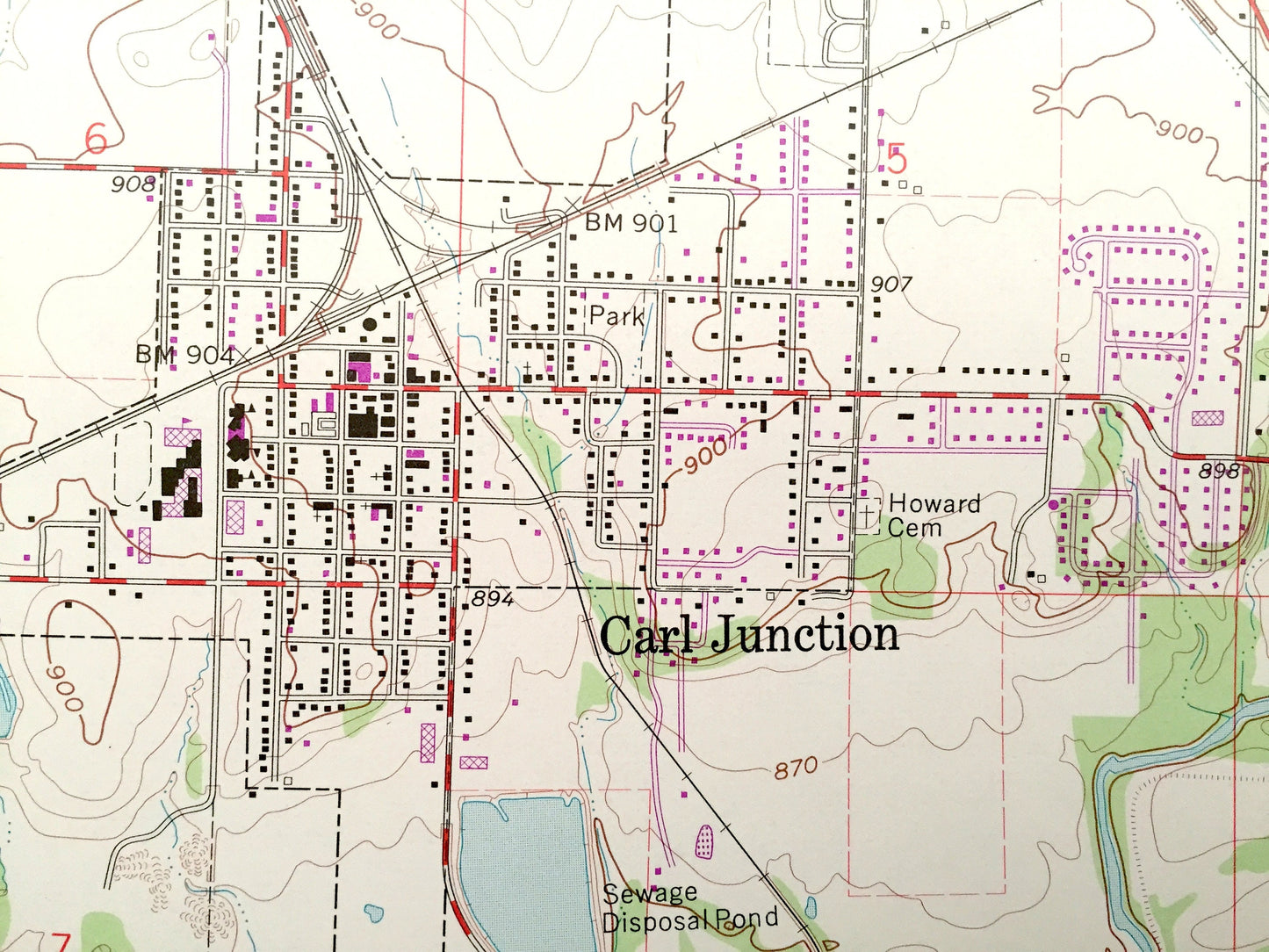
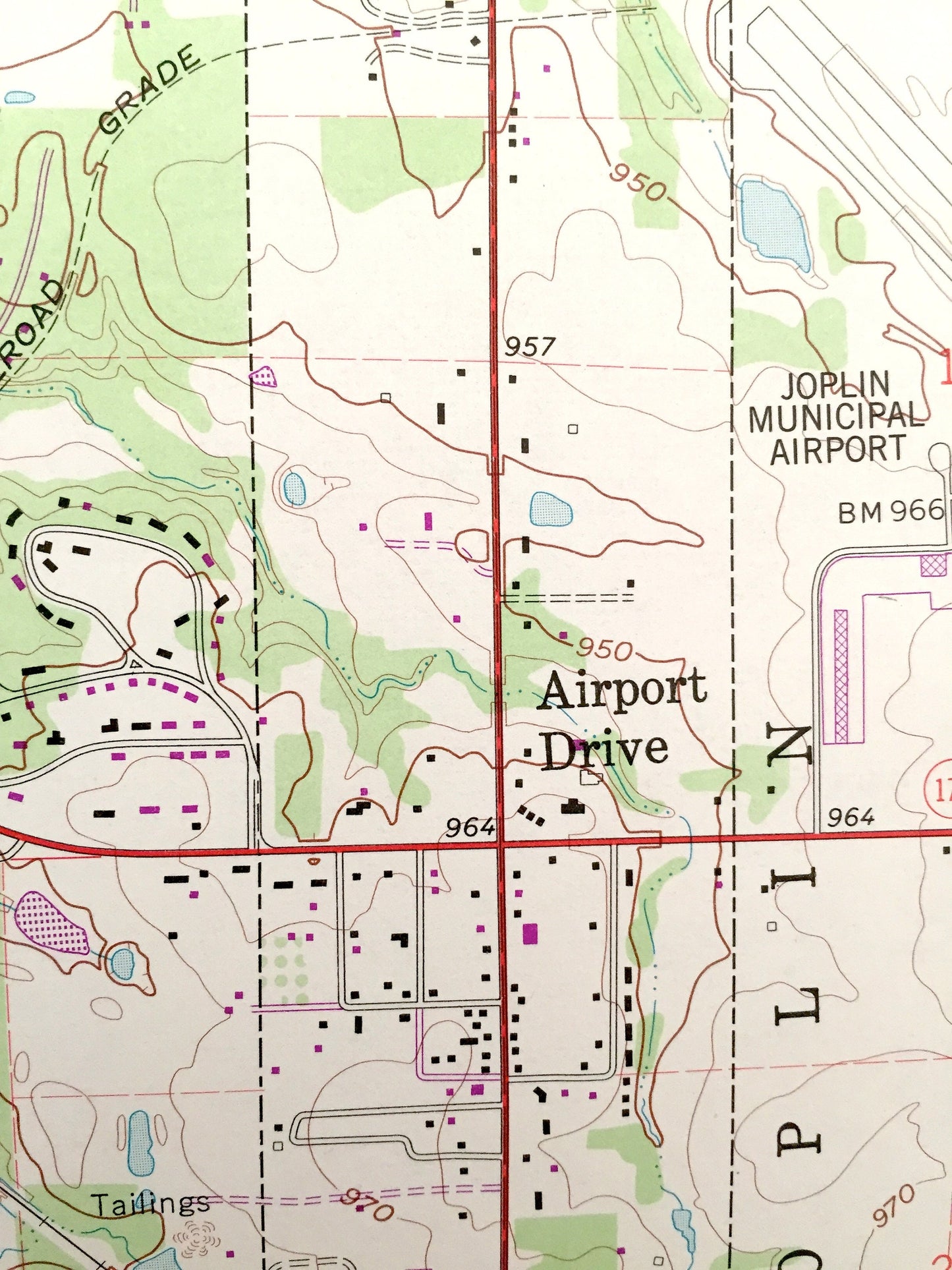
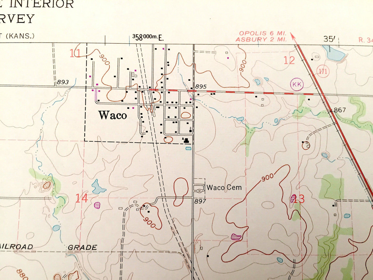
See what Jasper, Missouri and Cherokeee County, Missouri looked like over 55 years ago. Lots of intricate details and geological contours. Map even has little squares for every house that existed at the time. The USGS cartographers were very thorough back then!
Perfect for the historian, map-lover, the curious or just as a conversation starter. Wonderful and rare. Vintage maps such as this make great gifts.
Edition of 1963, printed 1978
Dimensions: 22" width x 27" height
----
Features
Cities & Towns: Kansas: Shawnee, Pleasant View. Missouri: Waco, Twin Groves, Calr Junction, Smithfield, Klondike, Galena, Thoms, Joplin, Belleville, Mineral.
Points of Interest: Spring River, Old Railroad Grade, St Luis-San Francisco Railroad, Kansas City Southern Railroad, Center Creek, Brick School, Joplin Municipal Airport, and many more roads ponds and houses.
Condition: Good Vintage condition, commensurate with age. This map is in great shape for being over 40 years old.
----
We will happily adjust shipping price for multiple purchases. Maps are rolled up and shipped in sturdy mailing tubes, never folded.
Couldn't load pickup availability
Share