My Store
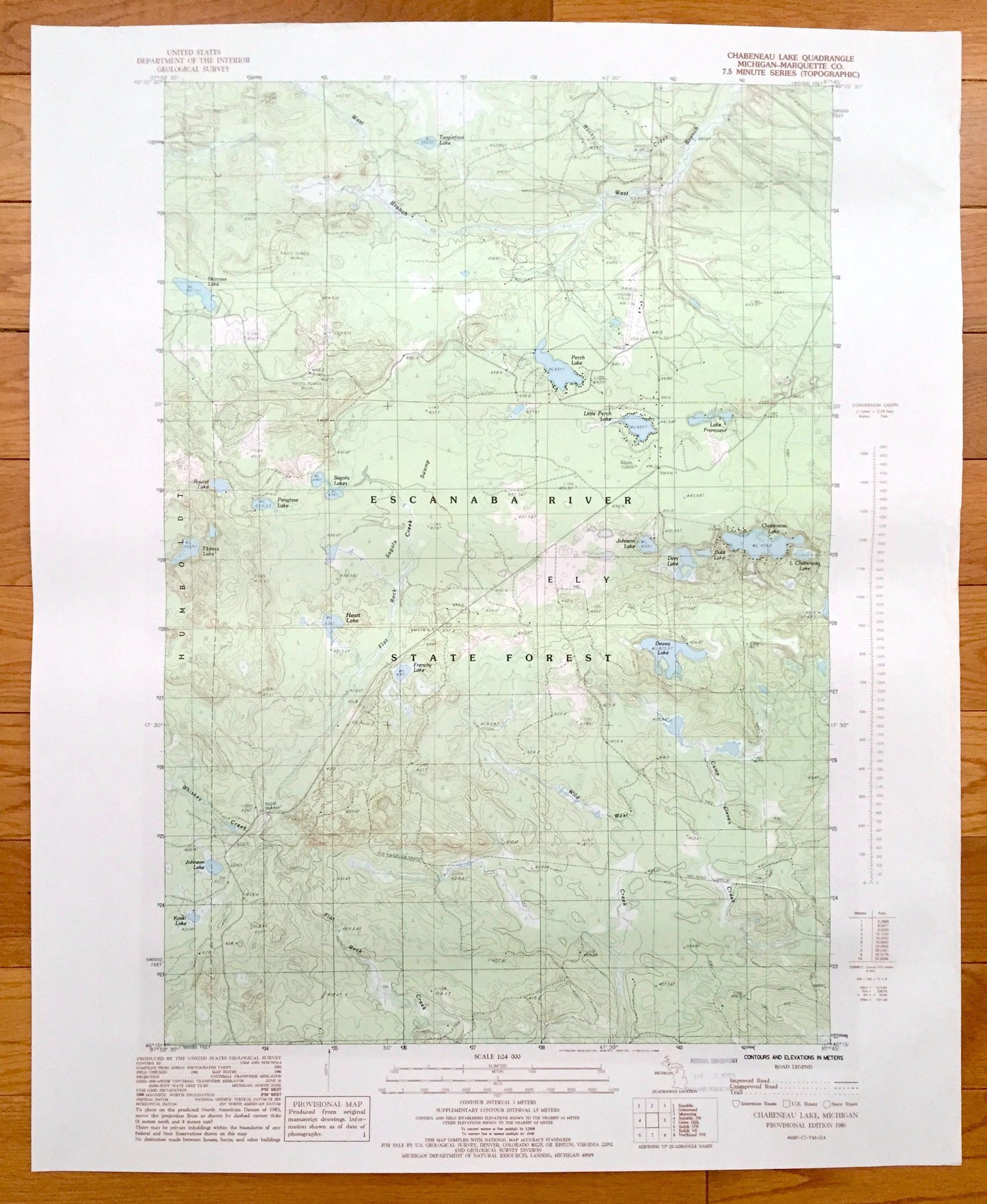
Antique Chabeneau Lake, Michigan 1986 US Geological Survey Topographic Map – Escanaba River State Forest, Ely, Humboldt Little Perch Lake MI
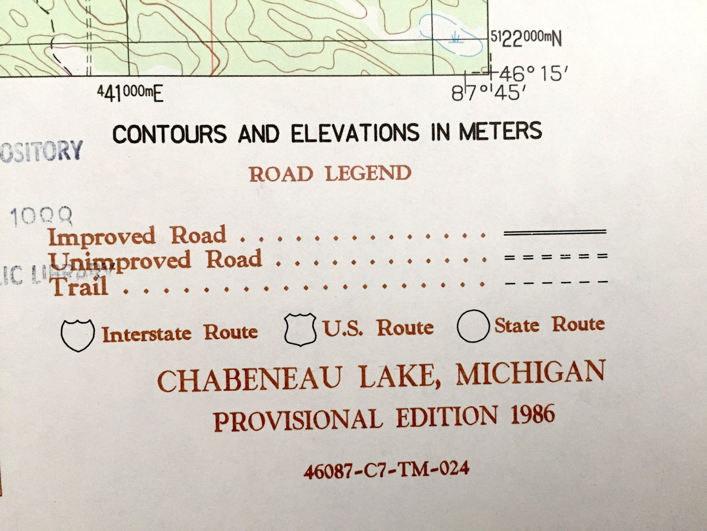
Antique Chabeneau Lake, Michigan 1986 US Geological Survey Topographic Map – Escanaba River State Forest, Ely, Humboldt Little Perch Lake MI
Beautiful, antique map of Chabeneau Lake in Escanaba River State Forest of Michigan. This is an authentic 1986 print from the U.S. Geological Survey and NOT a computer reproduction.
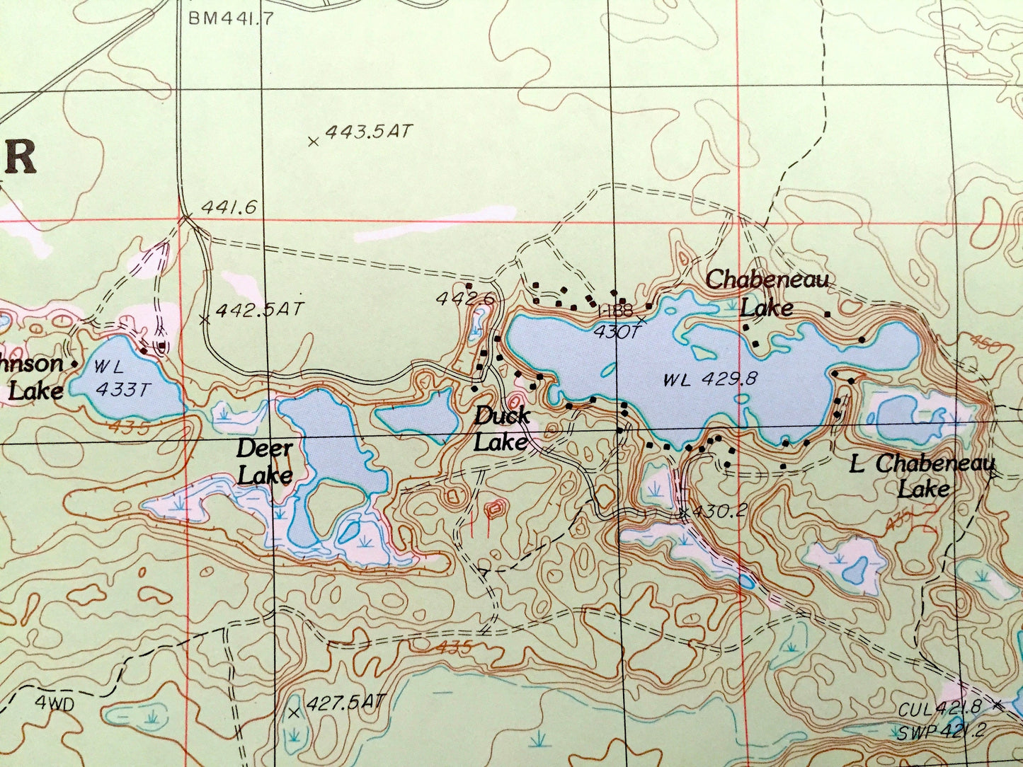
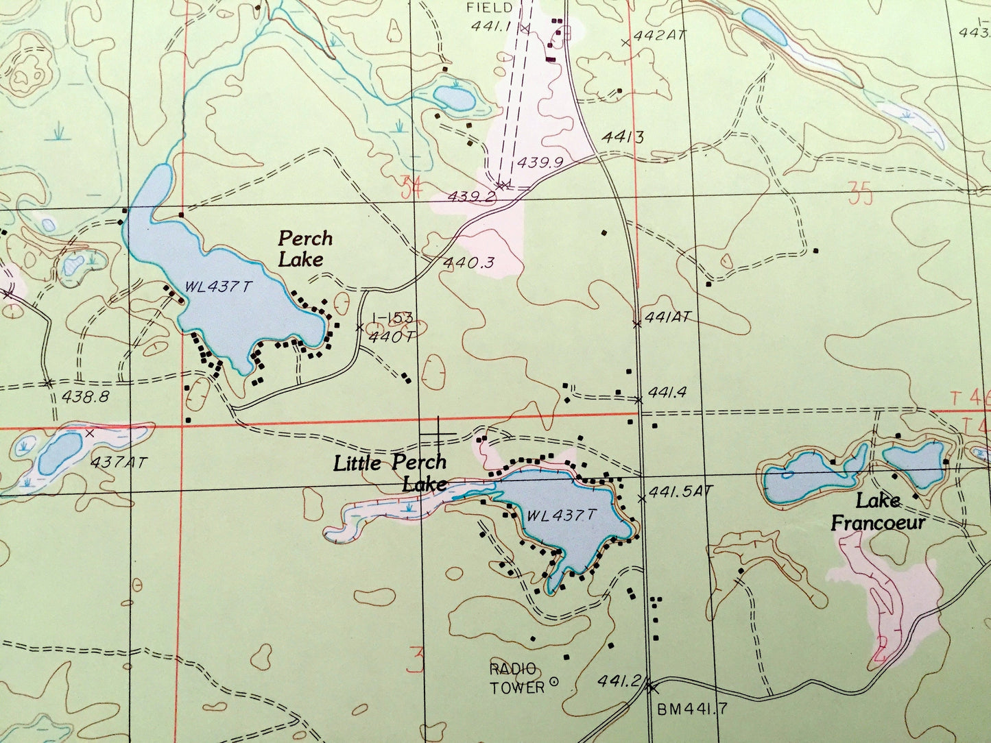
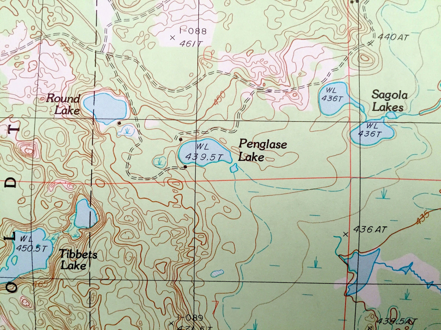
See what Marquette County of Michigan looked like over 30 years ago. Lots of intricate details and geological contours. Map even has little squares for every house that existed at the time. The USGS cartographers were very thorough back then!
Perfect for the historian, map-lover, the curious or just as a conversation starter. Wonderful and rare. Vintage maps such as this make great gifts.
Edition of 1986, printed 1986
Dimensions: 23" width x 27" height
----
Features
Cities & Towns: Ely, Humboldt.
Points of Interest: Escanaba River State Forest, Chabeneau Lake, Deer Lake, Duck Lake, Little Perch Lake, Perch Lake, Lake Francoeur, Johnson Lake, Tibets Lake, Dewey Lake, Camp Eleven Creek, Wild West Creek, Koski Lake, Whiskey Creek, Tanglefoot Lake, Skinnies Lake, and more roads, creeks, and houses.
Condition: Very Good condition, commensurate with age. This map is in incredible shape for being over 30 years old.
----
We will happily adjust shipping price for multiple purchases. Maps are rolled up and shipped in sturdy mailing tubes, never folded.
Couldn't load pickup availability
Share