My Store
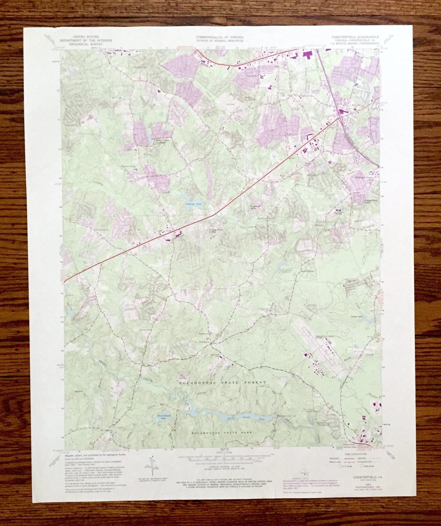
Antique Chesterfield, Virginia 1963 US Geological Survey Topographic Map – Richmond, County, Pocahontas State Forest, Park, Swift Creek VA
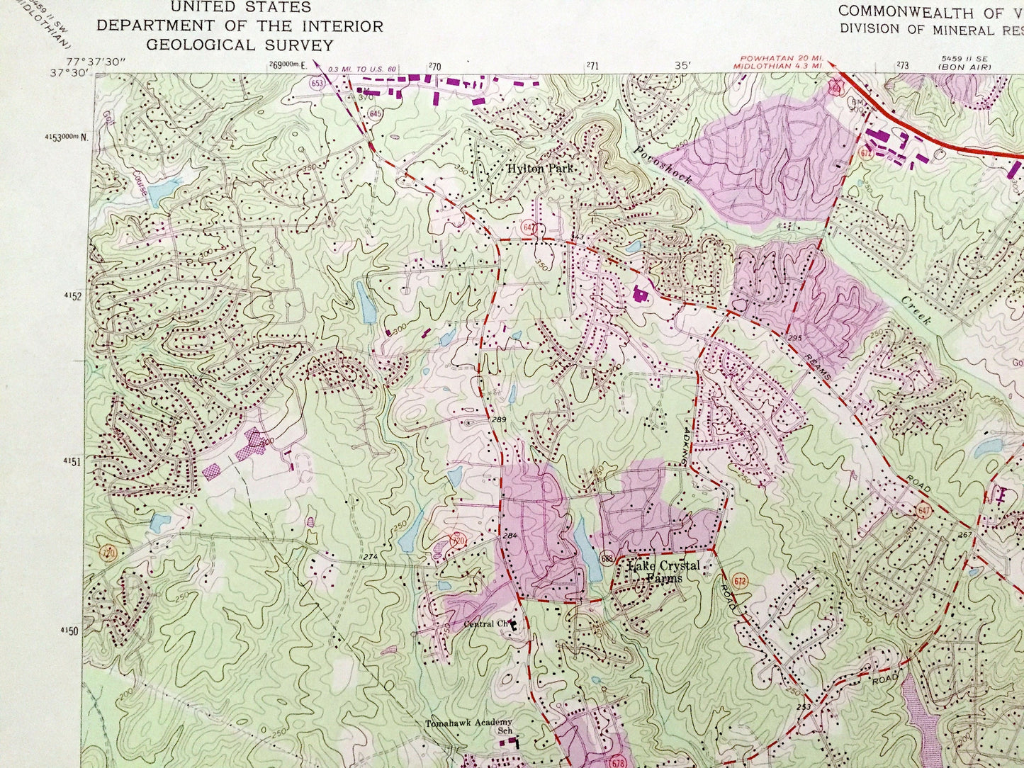
Antique Chesterfield, Virginia 1963 US Geological Survey Topographic Map – Richmond, County, Pocahontas State Forest, Park, Swift Creek VA
Beautiful, antique map of Chesterfield, Virginia and surrounding Chesterfield County area just west of Richmond. This is an authentic 1963 edition, 1987 print from the U.S. Geological Survey and NOT a computer reproduction.
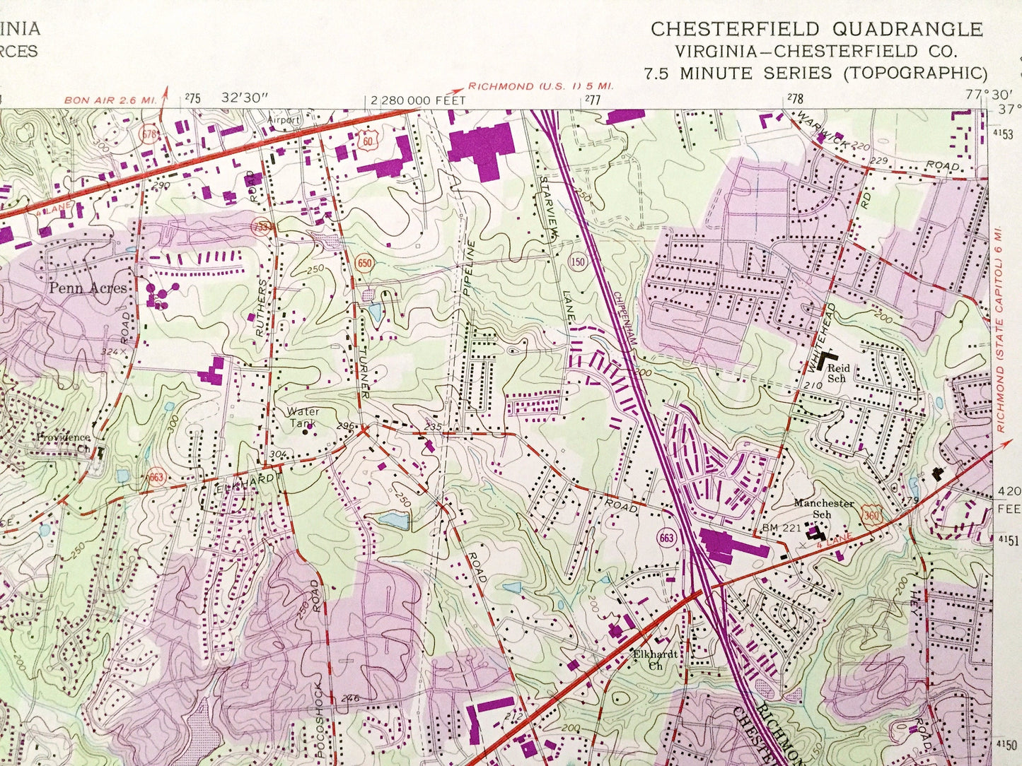
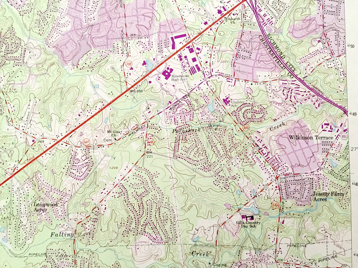
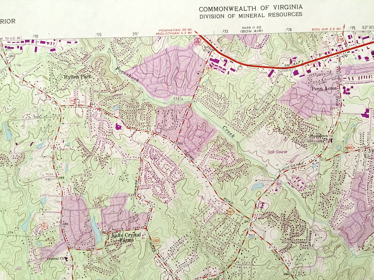
See what Virginia looked like 60 years ago. Lots of intricate details and geological contours. Map even has little squares for every house that existed at the time. The USGS cartographers were very thorough back then!
Perfect for the historian, map-lover, the curious or just as a conversation starter. Wonderful and rare. Vintage maps such as these make great gifts.
Edition of 1963, printed 1987
Dimensions: 22" width x 27" height
----
Features
Cities & Towns: Chesterfield, Richmond, Hylton Park, Penn Acres, Longwood Acres, Wilkinson Terrace, Jessup Farm Acres, Falling Creek Farms, Five Forks, Deerfield Estates, Ampthill, Land O' Pines, Rockwood, Machester.
Points of Interest: Chesterfield County, Richmond City, Pocahontas State Forest, Pocahontas State Park, Swift Creek, Swift Creek Lake, Gregorys Pond, Chesterfield County Airport, Licking Creek Fishing Club, Camp Shawondasee, and many more creeks, hills, houses and roads.
Condition: Good Vintage condition, commensurate with age. This map is in great shape for being over 35 years old. Has light edge-wear, but this will read as vintage character when framed.
----
We will happily adjust shipping price for multiple purchases. Maps are rolled up and shipped in sturdy mailing tubes, never folded.
Couldn't load pickup availability
Share