My Store
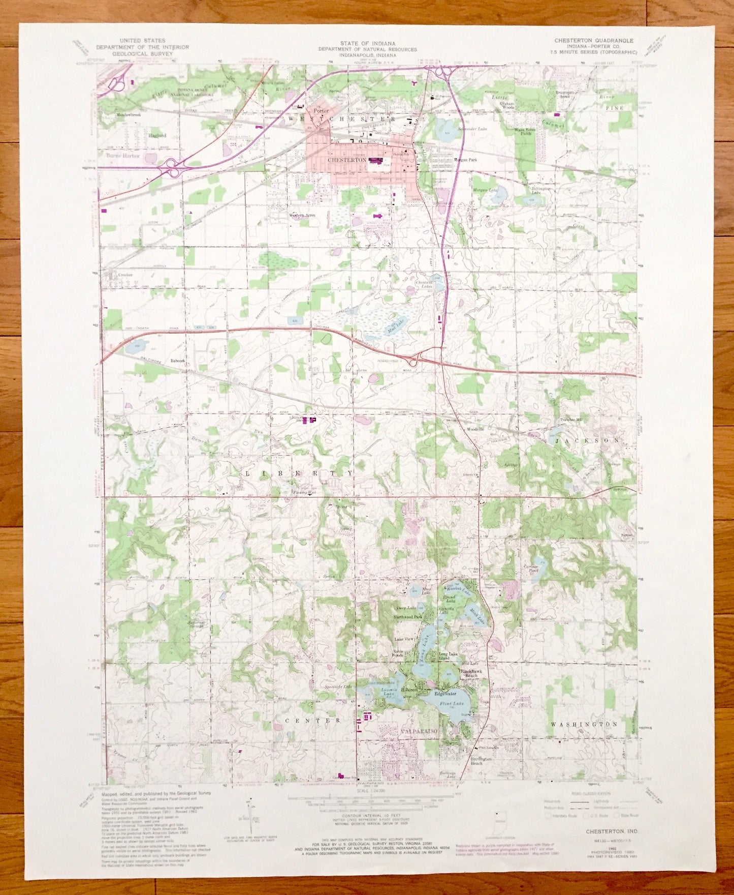
Antique Chesterton, Indiana 1962 US Geological Survey Topographic Map – Westchester, Burns Harbor, Valparaiso, Liberty, Jackson, Porter
Antique Chesterton, Indiana 1962 US Geological Survey Topographic Map – Westchester, Burns Harbor, Valparaiso, Liberty, Jackson, Porter
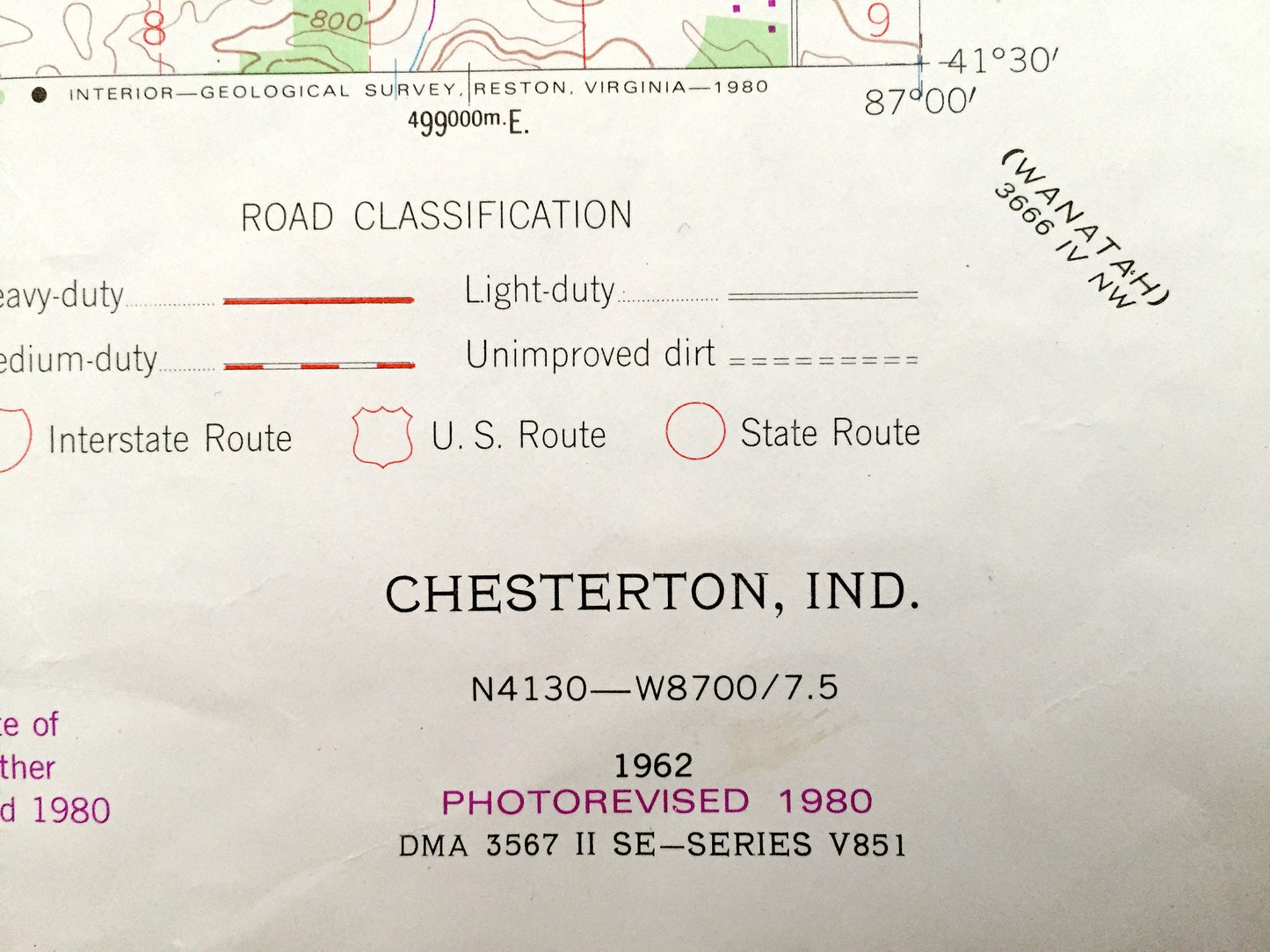
Beautiful, antique map of Chesterton, Liberty, Westchester, Center & Washington, Indiana and surrounding Porter County area. This is an authentic 1962 edition, 1980 print from the U.S. Geological Survey and NOT a computer reproduction.
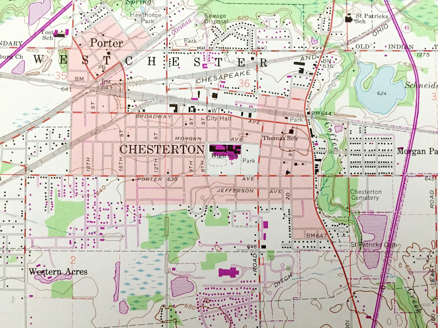
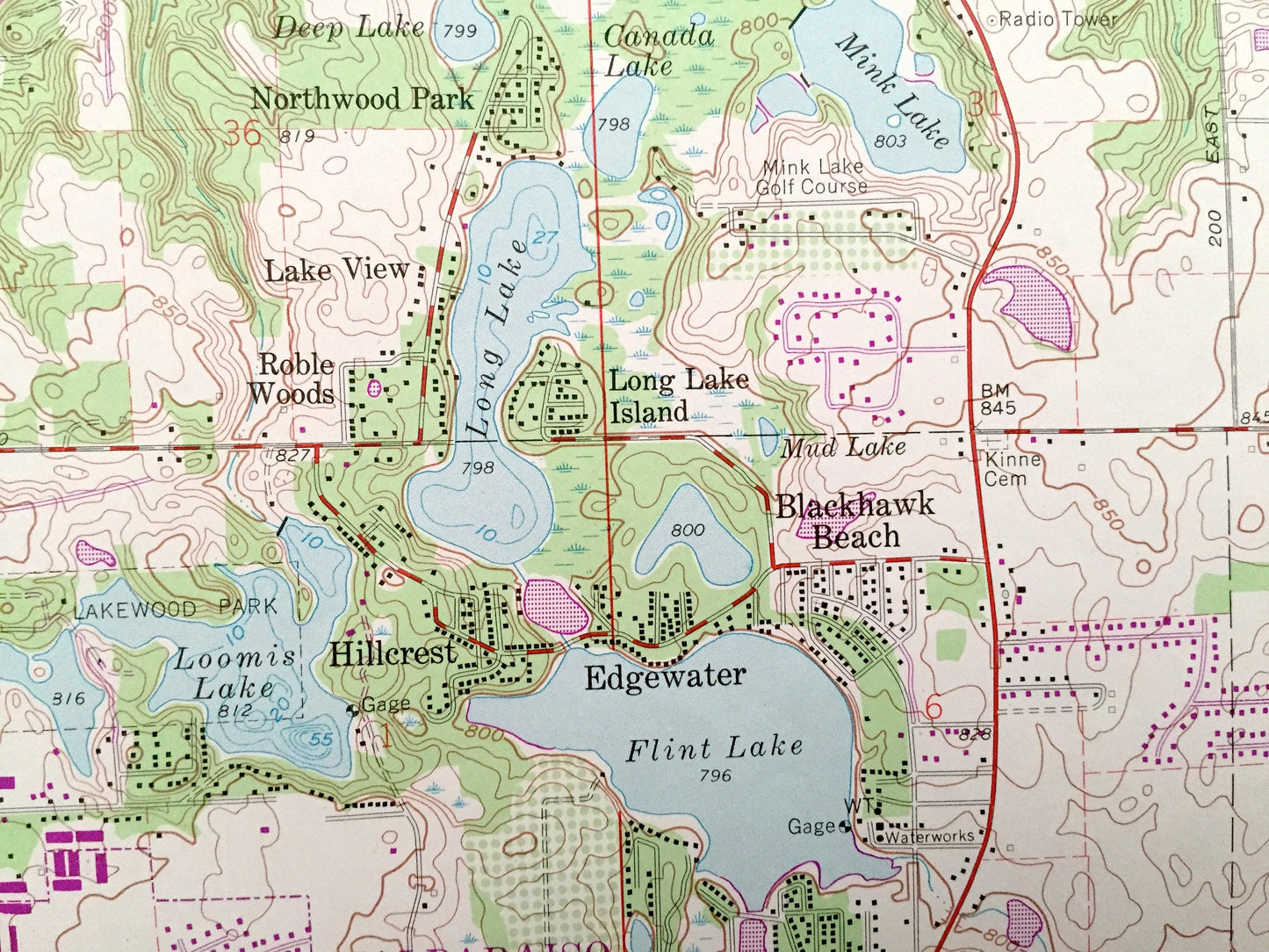
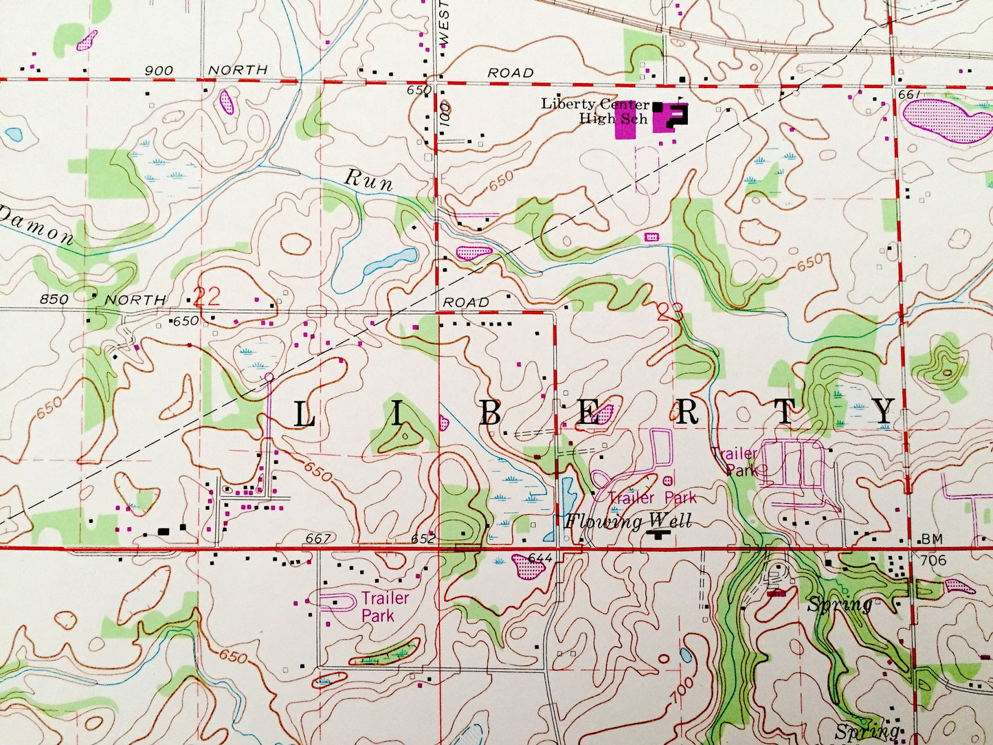
See what Indiana looked like almost 60 years ago. Lots of intricate details and geological contours. Map even has little squares for every house that existed at the time. The USGS cartographers were very thorough back then!
Perfect for the historian, map-lover, the curious or just as a conversation starter. Wonderful and rare. Vintage maps such as these make great gifts.
Edition of 1962, printed 1980
Dimensions: 22" width x 27" height
----
Features
Cities & Towns: Westchester, Pine, Liberty, Jackson, Center, Washington, Meadowbrook, Burns Harbor, Porter, Chesterton, Graham Woods, Brummitt Acres, Wake Robin Fields, Morgan Park, Western Acres, Crocker, Babcock, Northwood Park, Woodville, Hillcrest, Roble Woods, Lake View, Long Lake Island, Blackhawk Beach, Edgewater, Suman, Tratebas Mill, Valparaiso, Burlington Beach.
Points of Interest: Porter County, Indiana Dunes National Lakeshore, Mud Lake, Chestnut Lakes, Morgan Lake, Billington Lake, wauhob Lake, Mink Lake, Long Lake, Loomis Lake, Flint Lake, Elgin Joliet & Eastern Railroad, Conrail, Baltimore & Ohio Railroad and lots more creeks, lakes, hills, houses, schools, churches, train tracks and roads.
Condition: Very Good condition, commensurate with age. This map is in incredible shape for being over almost 40 years old. Top right corner has been cut, but this is easily concealed by placing same-colored paper behind map when framing—as seen in photo.
----
We will happily adjust shipping price for multiple purchases. Maps are rolled up and shipped in sturdy mailing tubes, never folded.
Couldn't load pickup availability
Share