My Store
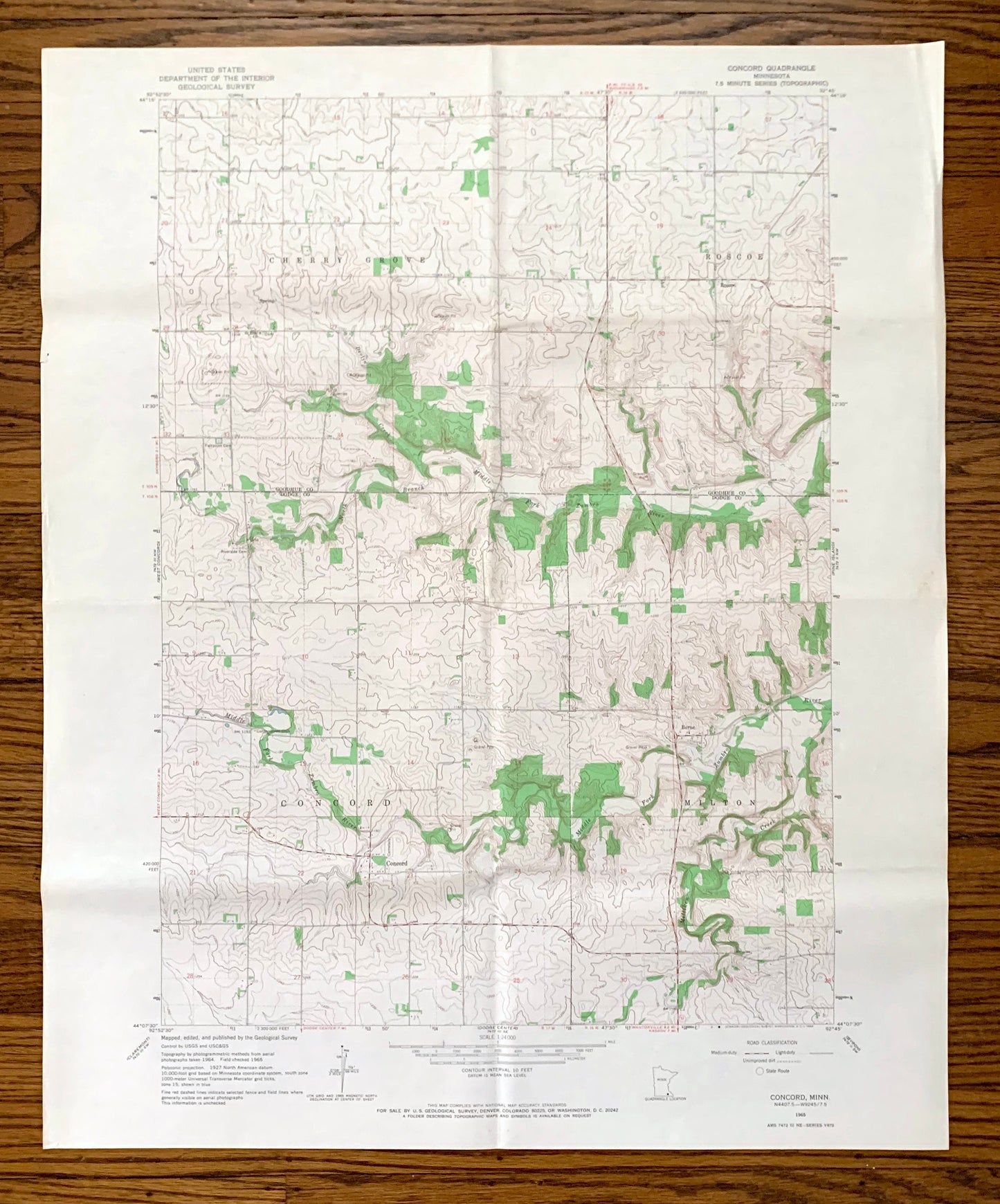
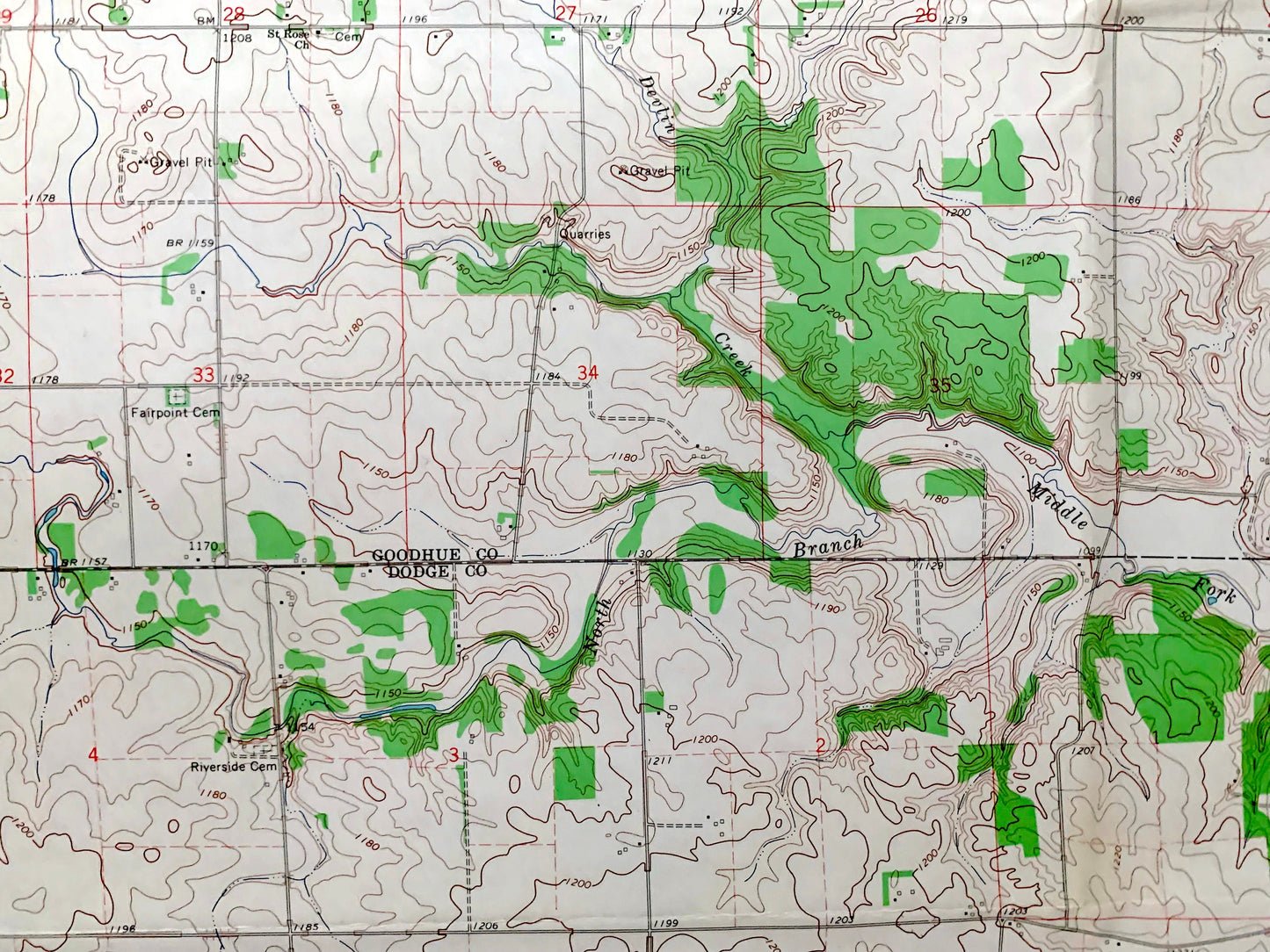
Antique Concord, Minnesota 1965 US Geological Survey Topographic Map – Goodhue, Dodge County, Cherry Grove, Roscoe, Milton, Berne, MN
Antique Concord, Minnesota 1965 US Geological Survey Topographic Map – Goodhue, Dodge County, Cherry Grove, Roscoe, Milton, Berne, MN
Beautiful, antique map of Concord, Minnesota and surrounding Goodhue County and Dodge County area. This is an authentic 1965 edition, 1966 print from the U.S. Geological Survey and NOT a computer reproduction.
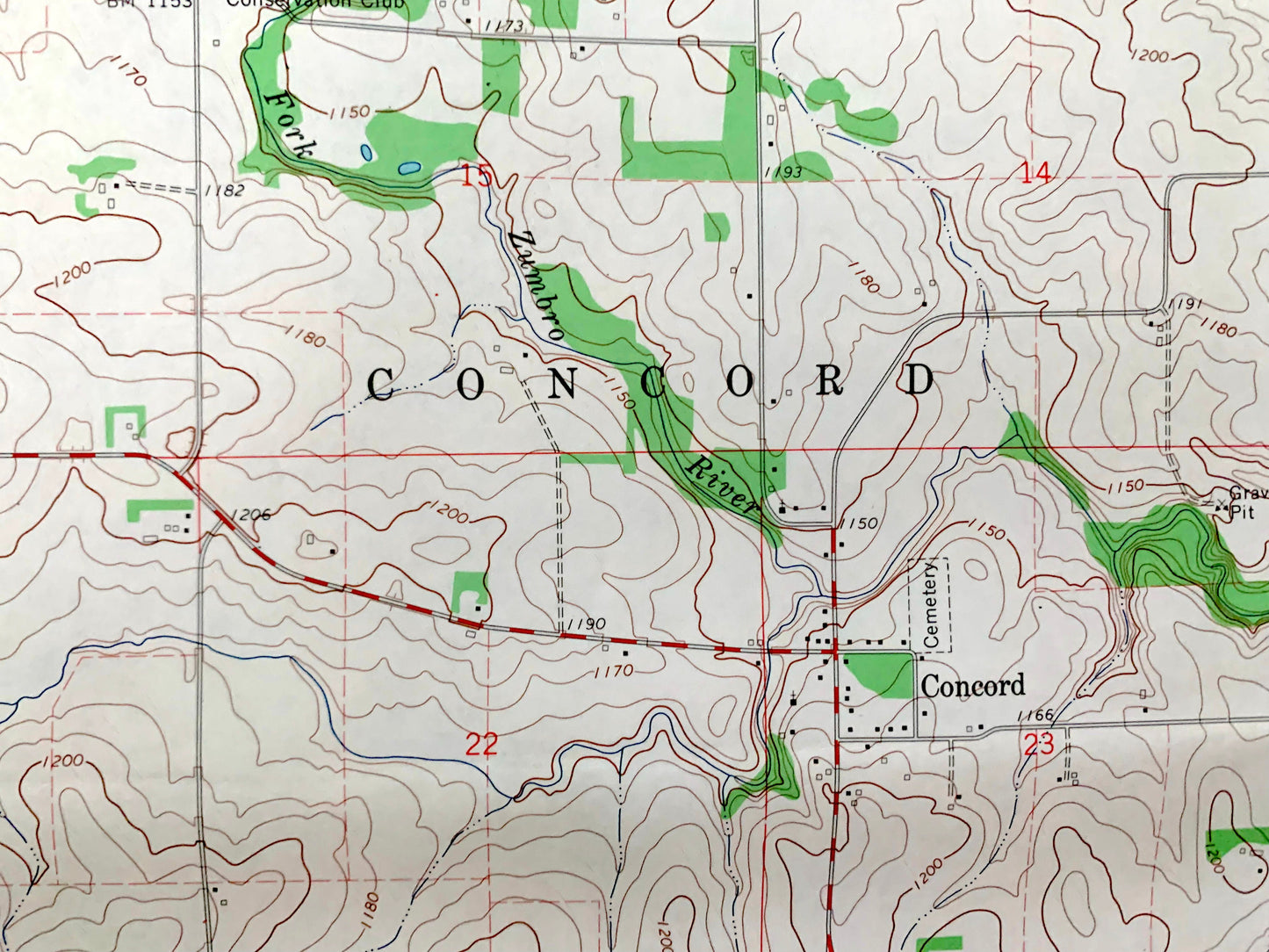
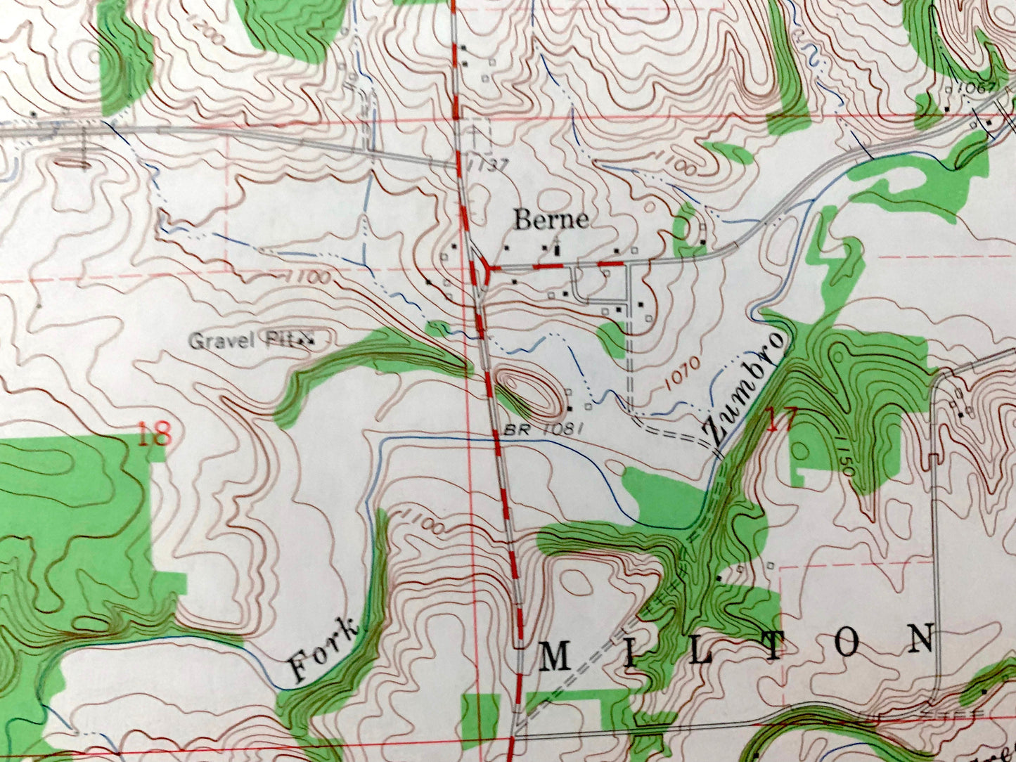
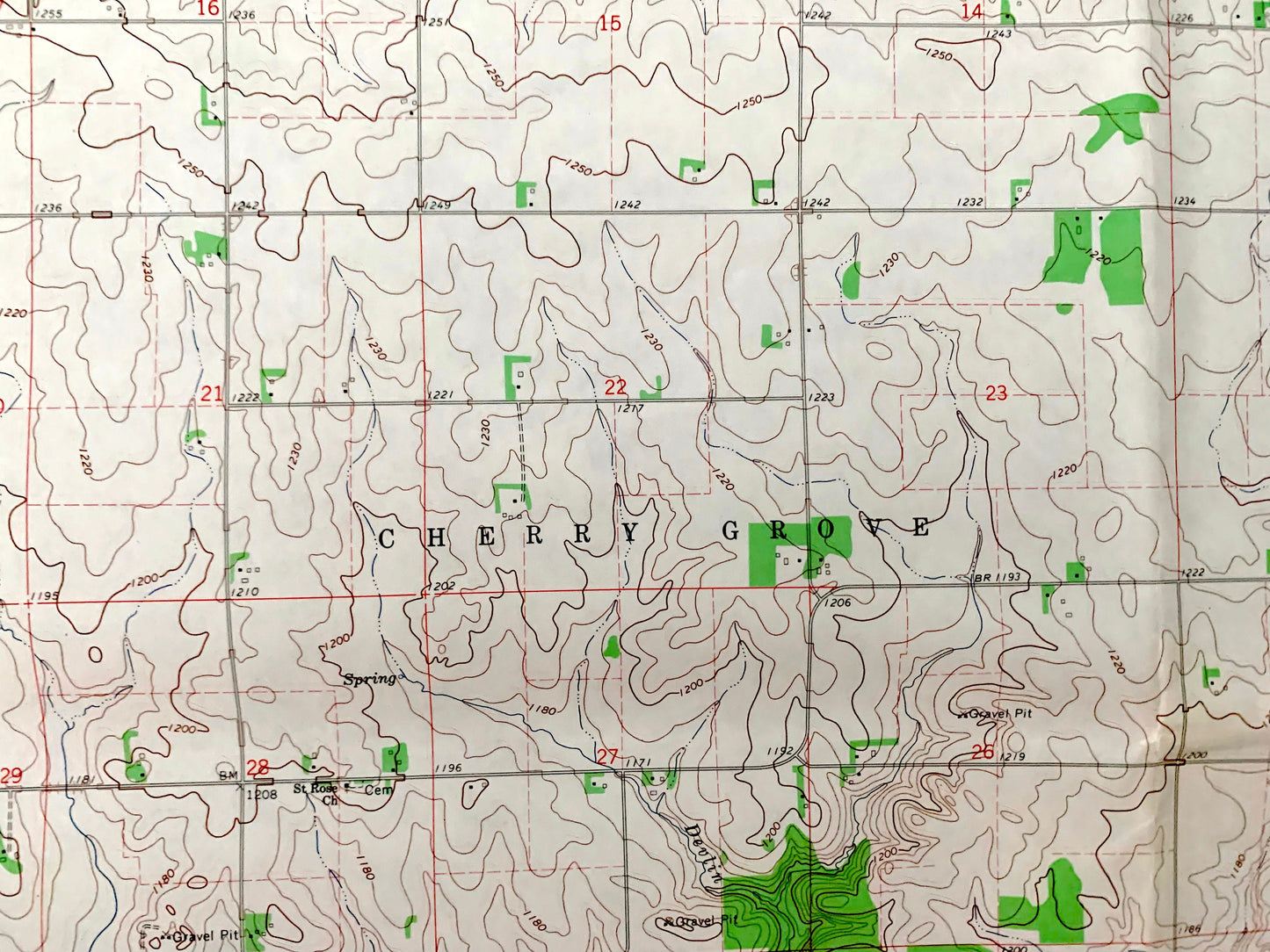
See what Minnesota looked like over 55 years ago. Lots of intricate details and geological contours. Map even has little squares for every house that existed at the time. The USGS cartographers were very thorough back then!
Perfect for the historian, map-lover, the curious or just as a conversation starter. Wonderful and rare. Maps such as these make great gifts.
Edition of 1965, printed 1966
Dimensions: 22" width x 27" height
----
Features
Cities & Towns: Cherry Grove, Roscoe, Milton, Berne.
Points of Interest: Devlin Creek, North Branch, Middle Fork Zumbro River, Milliken Creek, gravel pits, and many more hills, streams, ponds, houses, schools, railroads, churches and roads.
Condition: Good Vintage condition, commensurate with age. This map is in great shape for being over 55 years old. Has folds as-issued but these will flatten easily. All will read as character when framed.
----
We will happily adjust shipping price for multiple purchases. Map will be shipped rolled in sturdy mailing tube.
Couldn't load pickup availability
Share