My Store
Antique Concord, North Carolina 1950 US Geological Survey Topographic Map – Cabarrus County, Kannapolis, Charlotte, Baptist Church, NC
Antique Concord, North Carolina 1950 US Geological Survey Topographic Map – Cabarrus County, Kannapolis, Charlotte, Baptist Church, NC
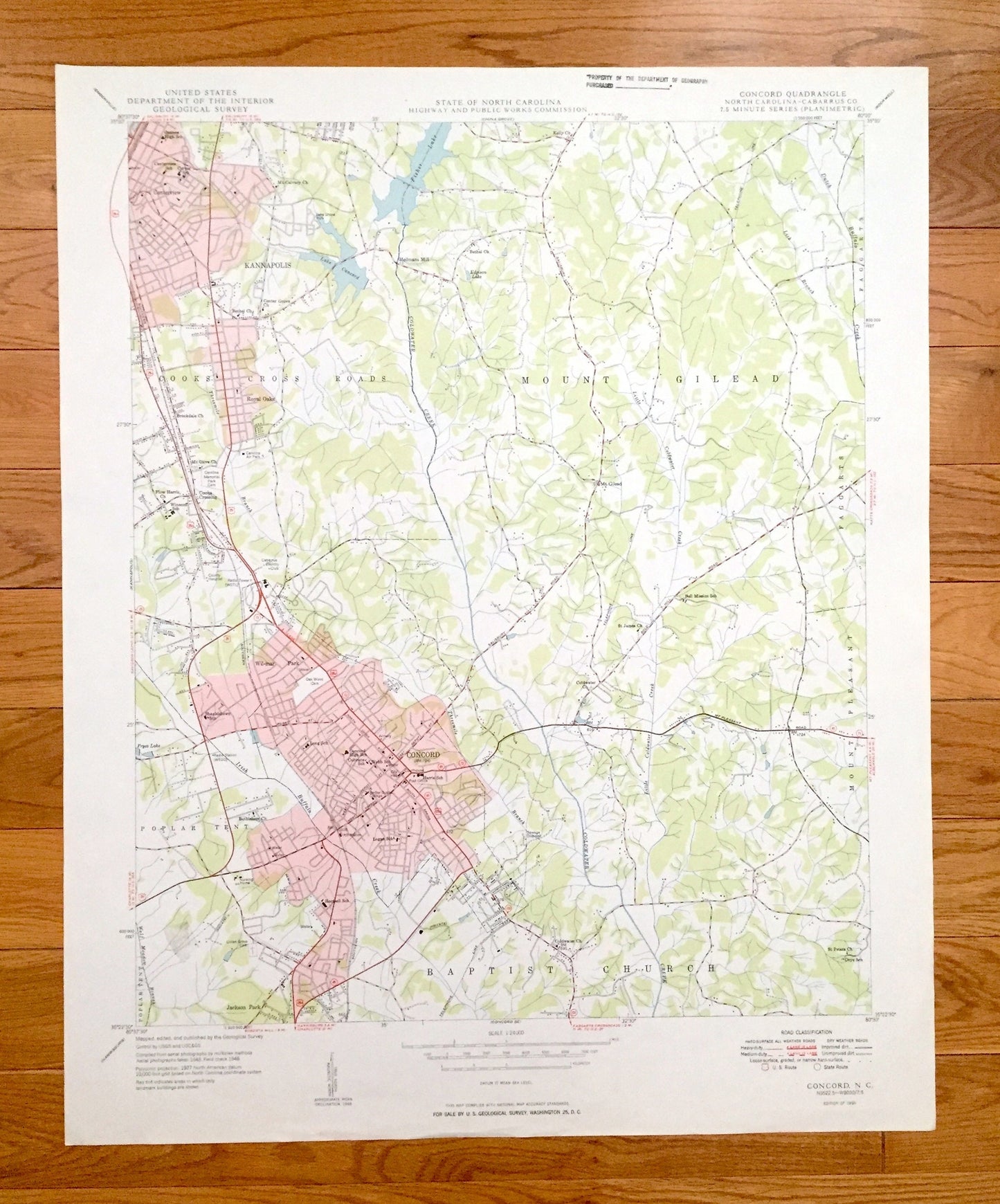
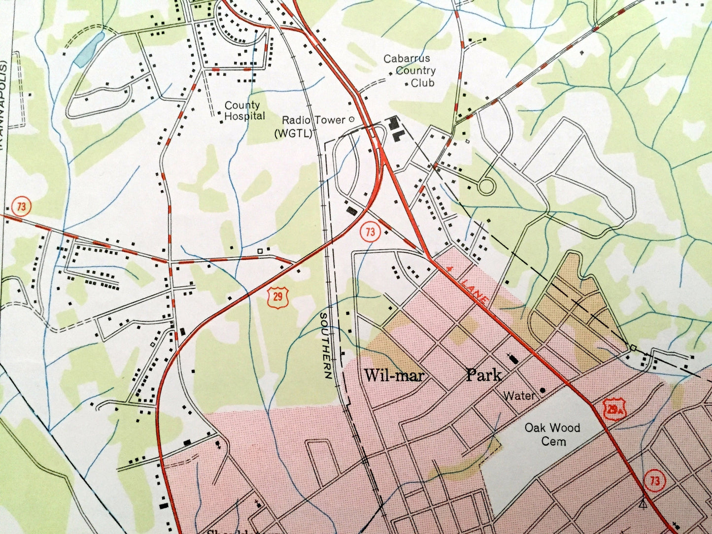
Beautiful, antique map of Concord, North Carolina and surrounding Cabarrus County area north of Charlotte. This is an authentic 1950 print from the North Carolina Highway and Public Works Commission and the U.S. Geological Survey and is NOT a computer reproduction.
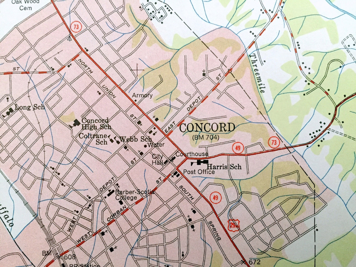
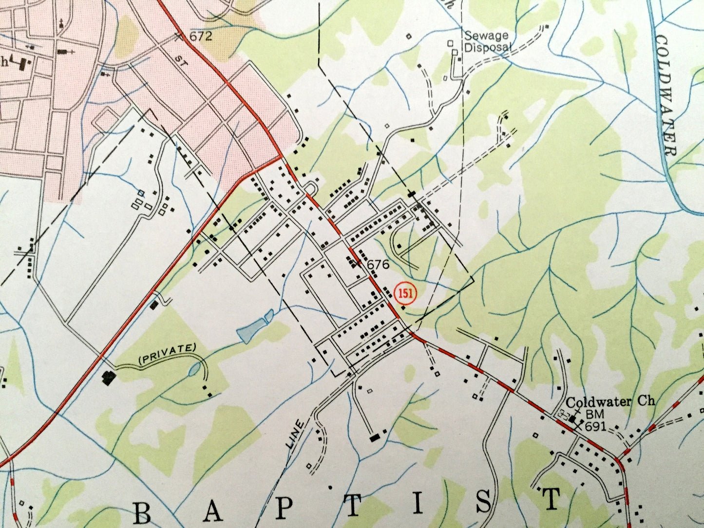
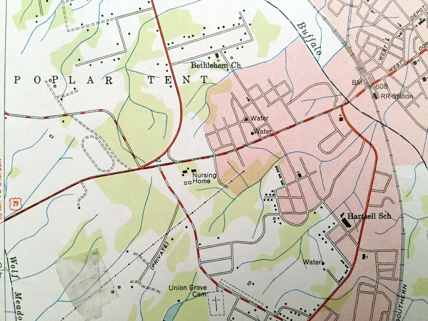
See what North Carolina looked like over 70 years ago. Lots of intricate details and geological contours. Map even has little squares for every house that existed at the time. The USGS cartographers were very thorough back then!
Perfect for the historian, map-lover, the curious or just as a conversation starter. Wonderful and rare. Vintage maps such as this make great gifts.
Edition of 1950, printed 1950
Dimensions: 22" width x 27" height
----
Features
Cities & Towns: Concord, Kannapolis, Coosk Cross Roads, Mount Gilead, Poplar Tent, Baptist Church, Faggarts, Mount Pleasant.
Points of Interest: Cabarrus County, Fisher Lake, Lake Concord, Coldwater Creek and many more roads, rivers, houses and churches.
Condition: Very Good Vintage condition, commensurate with age. This map is in great shape for being about 70 years old. Light wear and ex-libris stamp in margin but this will add to vintage character when framed.
----
We will happily adjust shipping price for multiple purchases. Maps are rolled up and shipped in sturdy mailing tubes, never folded.
Couldn't load pickup availability
Share