My Store
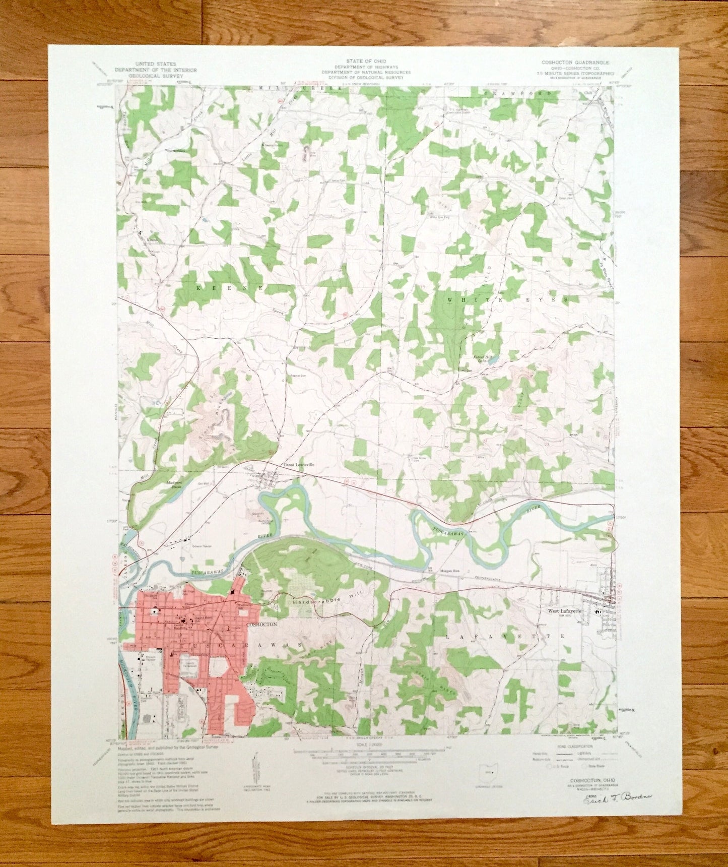
Antique Coshocton, Ohio 1961 US Geological Survey Topographic Map – Coshocton County, Mill Creek, Crawford, Keene, White Eyes, Tuscarawas OH
Antique Coshocton, Ohio 1961 US Geological Survey Topographic Map – Coshocton County, Mill Creek, Crawford, Keene, White Eyes, Tuscarawas OH
Beautiful, antique map of Coshocton, Ohio and surrounding Coshocton County areas. This is an authentic 1961 edition, 1963 print from the U.S. Geological Survey and NOT a computer reprint.
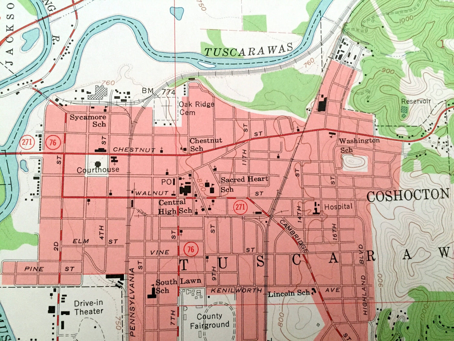
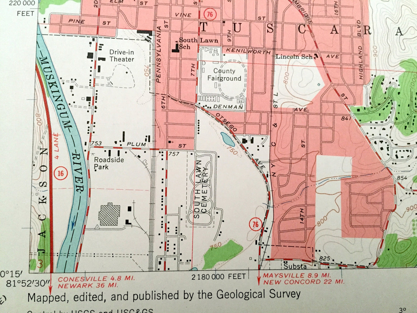
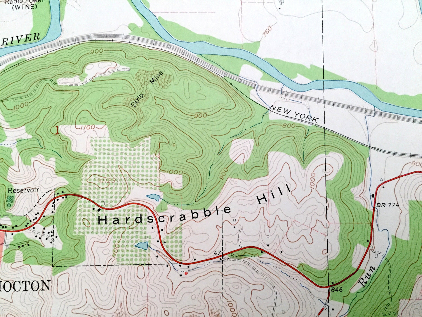
See what Ohio looked like over 55 years ago. Lots of intricate details and geological contours. Map even has little squares for every house that existed. The USGS cartographers were very thorough back then!
Perfect for the historian, map-lover, the curious or just as a conversation starter. Wonderful and rare. Vintage maps such as these make great gifts.
Edition of 1961, printed 1963
Dimensions: 22" width x 27" height
----
Features
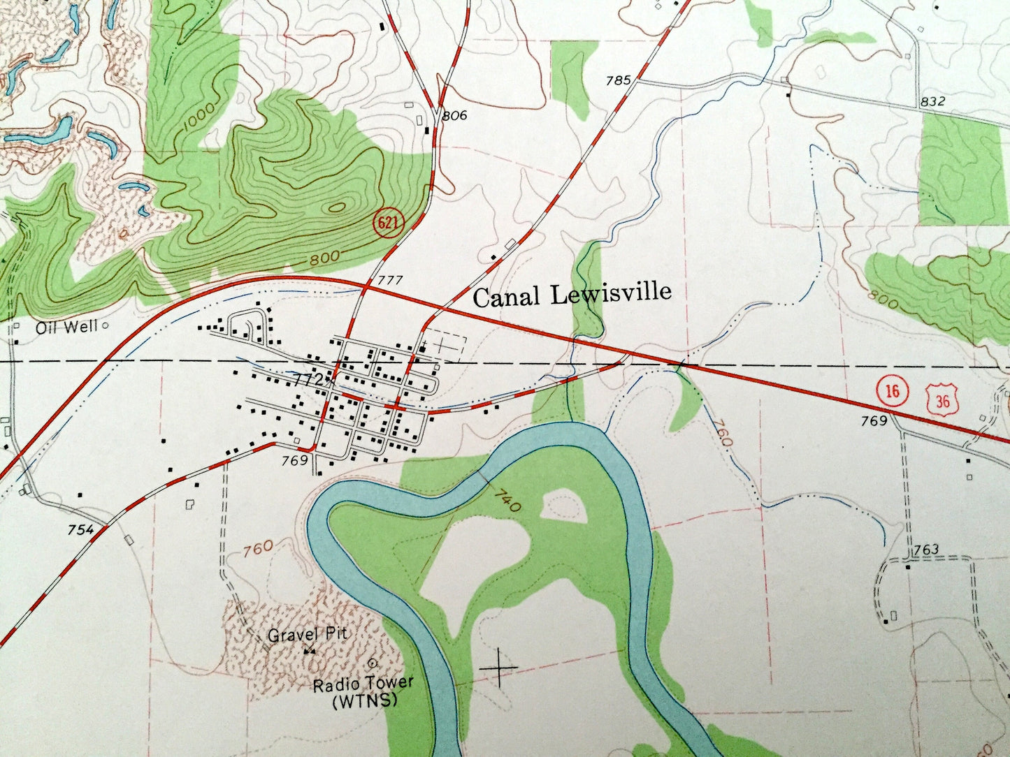
Cities & Towns: Chili, Keene, Canal Lewisville, Morgan Run, Jackson, Lafayette, West Lafayette.
Points of Interest: US Hydrologic Experiment Station, Hardscrabble Hill, Mudport Basin, Walhonding River, Muskingum River, Tuscarawas River, Forest Hill Lake, Turkey Run, Mill Creek, Little Mill Creek, strip mines, and many more hills, ditches, streams, creeks, ponds, houses, schools, railroads, churches and roads.
Condition: Very Good Vintage condition, commensurate with age. This map is in great shape for being over 55 years old. Has light edge-wear and a signature on the bottom right corner, all of which will read as character when framed.
----
We will happily adjust shipping price for multiple purchases. Maps are rolled up and shipped in sturdy mailing tubes, never folded.
Couldn't load pickup availability
Share