My Store
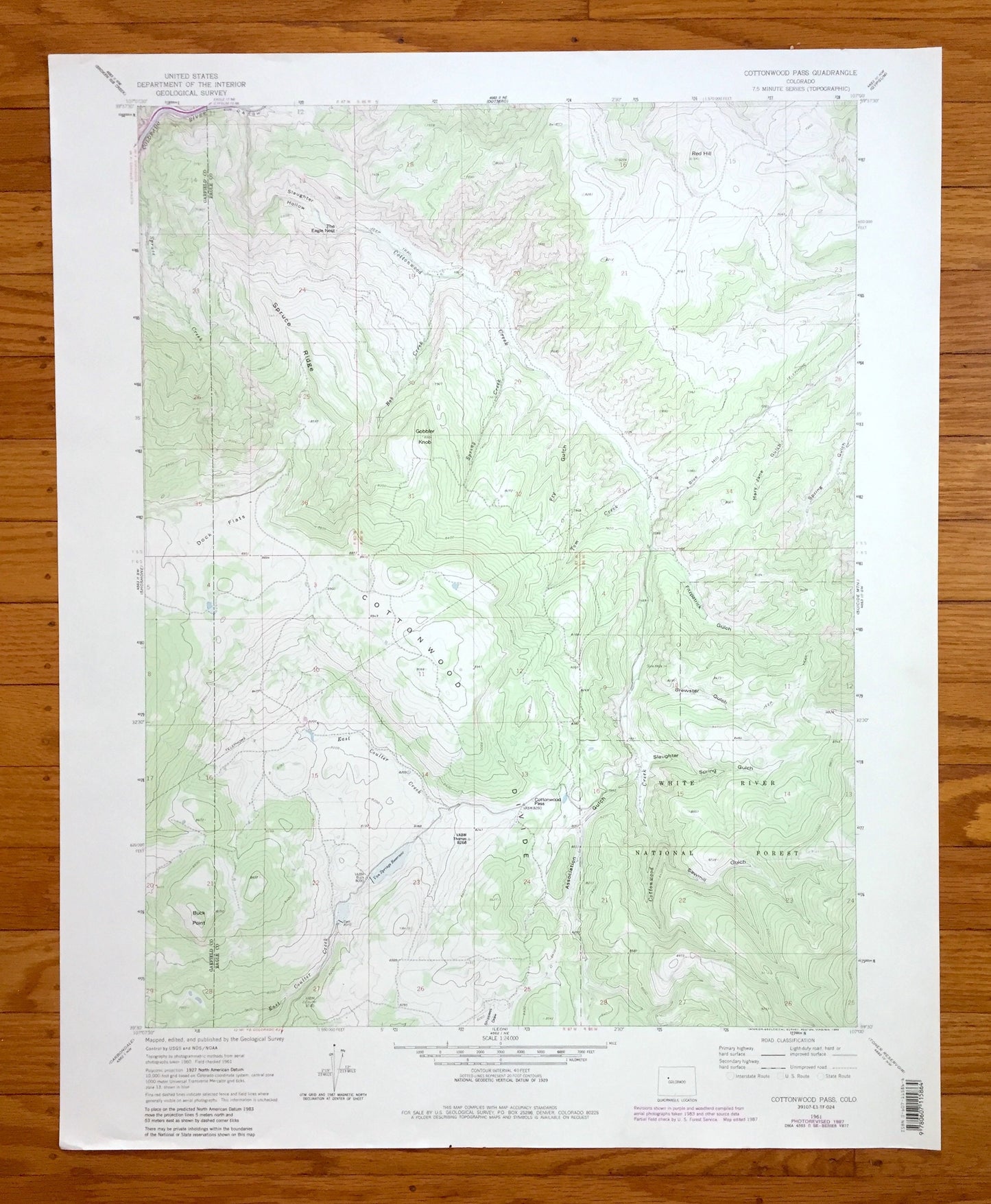
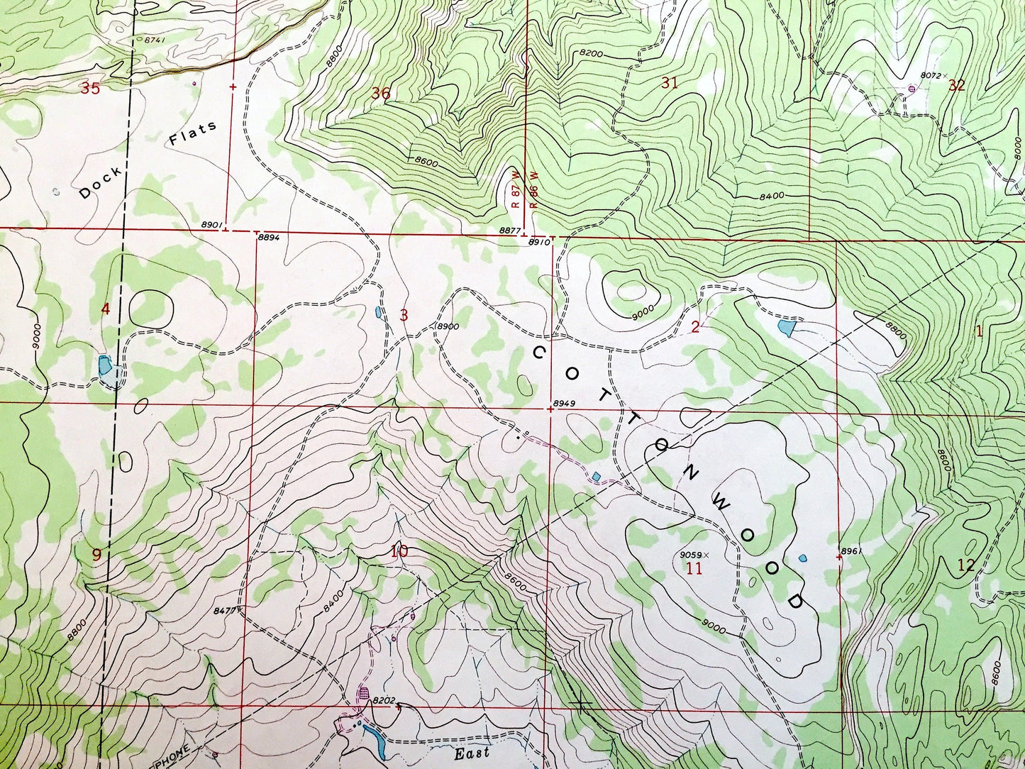
Antique Cottonwood Pass, Colorado 1961 US Geological Survey Topographic Map – White River National Forest, Eagle County, Garfield County, CO
Antique Cottonwood Pass, Colorado 1961 US Geological Survey Topographic Map – White River National Forest, Eagle County, Garfield County, CO
Beautiful, antique map of Cottonwood Pass, Colorado and surrounding Eagle County and Garfield County area, including White River National Forest. This is an authentic 1961 edition, 1988 print from the U.S. Geological Survey and NOT a computer reprint.
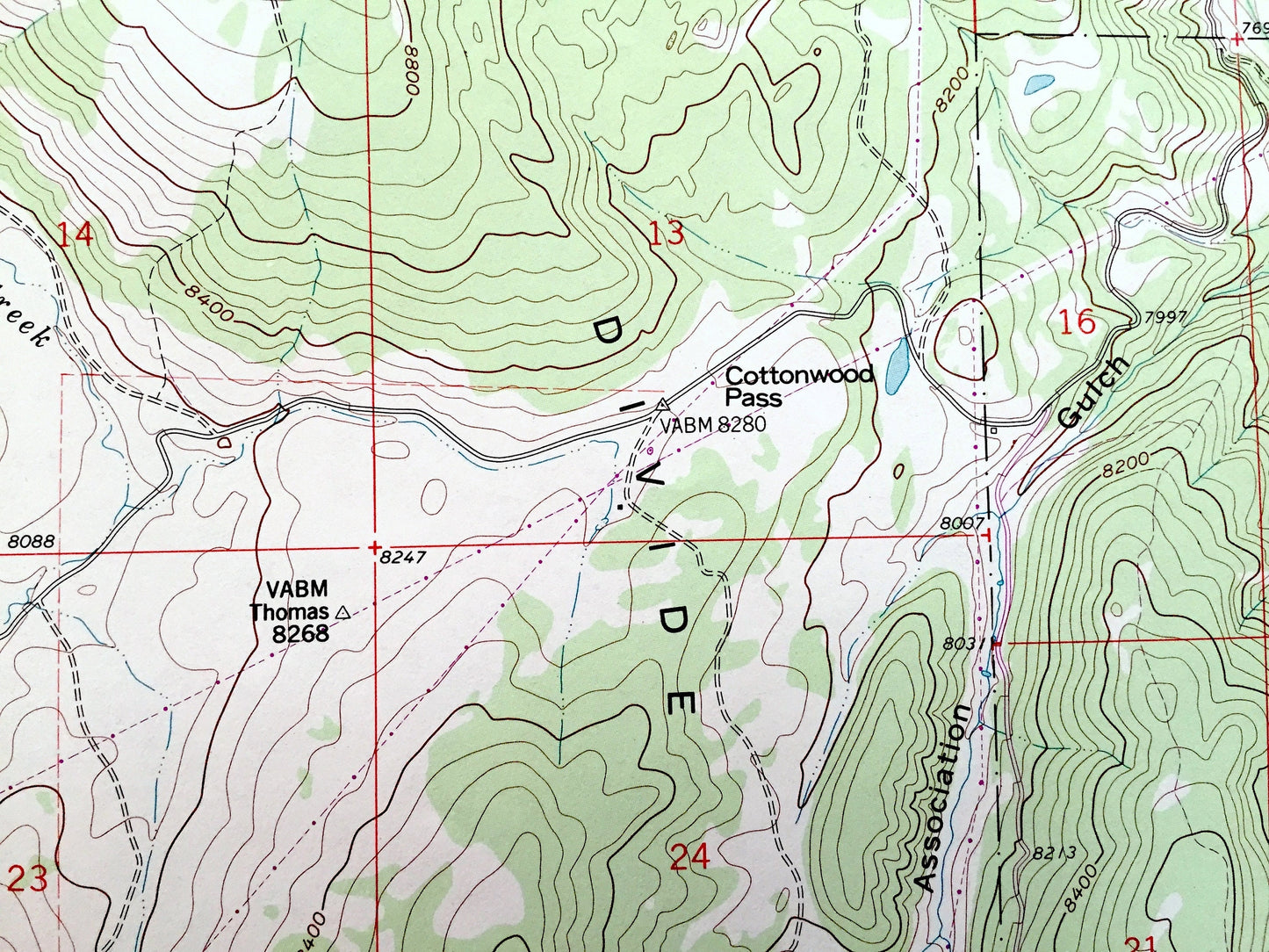
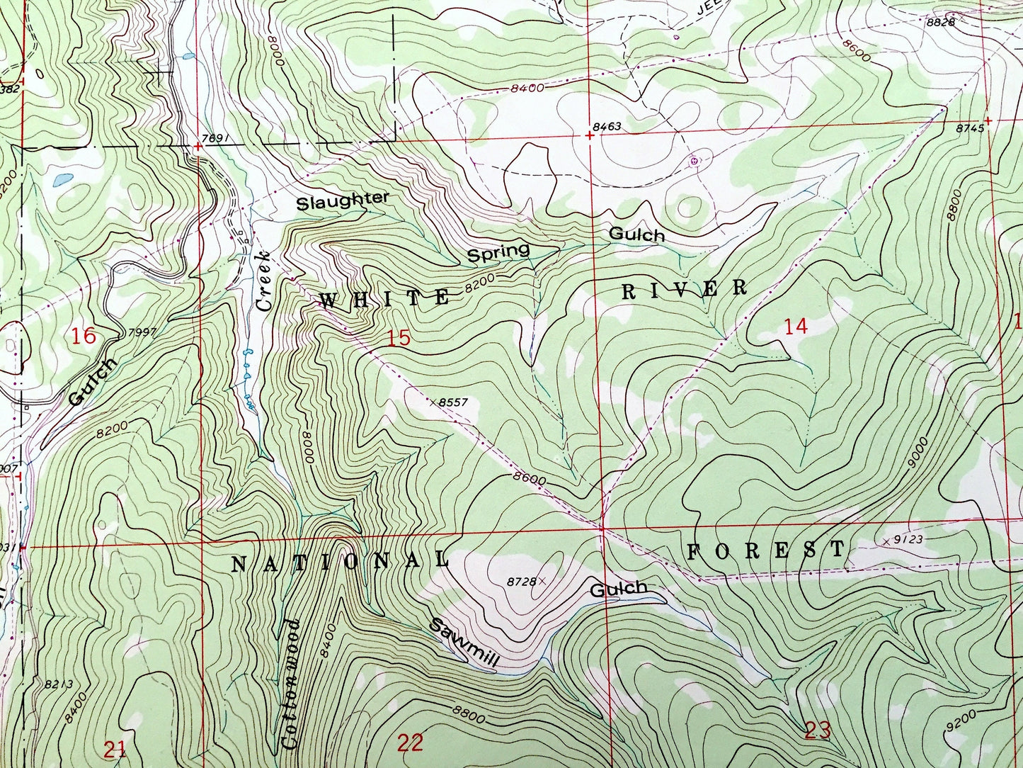
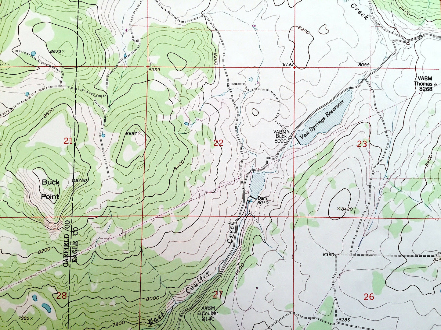
See what the Colorado Rockies looked like 60 years ago. Lots of intricate details and geological contours. Map even has little squares for every house that existed. The USGS cartographers were very thorough back then!
Perfect for the historian, map-lover, the curious or just as a conversation starter. Wonderful and rare. Vintage maps such as these make great gifts.
Edition of 1961, printed 1988
Dimensions: 22" width x 27" height
----
Features
Cities and Towns:
Points of Interest: Eagle County, Garfield County, White River National Forest, East Coulter Creek, Cottonwood Creek, Cottonwood Divide, Buck Point, Dock Flats, Tom Creek, Spring Creek, Gobbler Knob, Spruce Ridge, Slaughter Hollow, Colorado River, Fly Gulch, Red Hill, Brewster Gulch, and many more smaller lakes, creeks, houses, schools, roads, camps and train tracks.
Condition: Very Good Vintage condition, commensurate with age. This map is in great shape for being over 30 years old.
----
We will happily adjust shipping price for multiple purchases. Maps are rolled up and shipped in sturdy mailing tubes, never folded.
Couldn't load pickup availability
Share