My Store
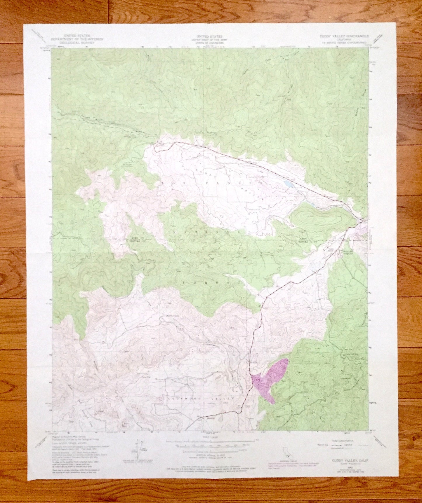
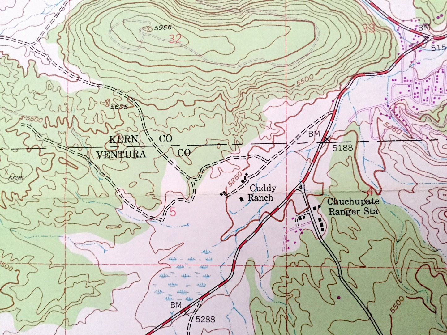
Antique Cuddy Valley, California 1943 US Geological Survey Topographic Map – Kern, Ventura County, Los Padres National Forest, Mt Pinos, CA
Antique Cuddy Valley, California 1943 US Geological Survey Topographic Map – Kern, Ventura County, Los Padres National Forest, Mt Pinos, CA
Beautiful, antique map of Cuddy Valley, California and surrounding Kern & Ventura County area. This is an authentic 1943 edition, 1983 print from the U.S. Geological Survey and NOT a computer reproduction.
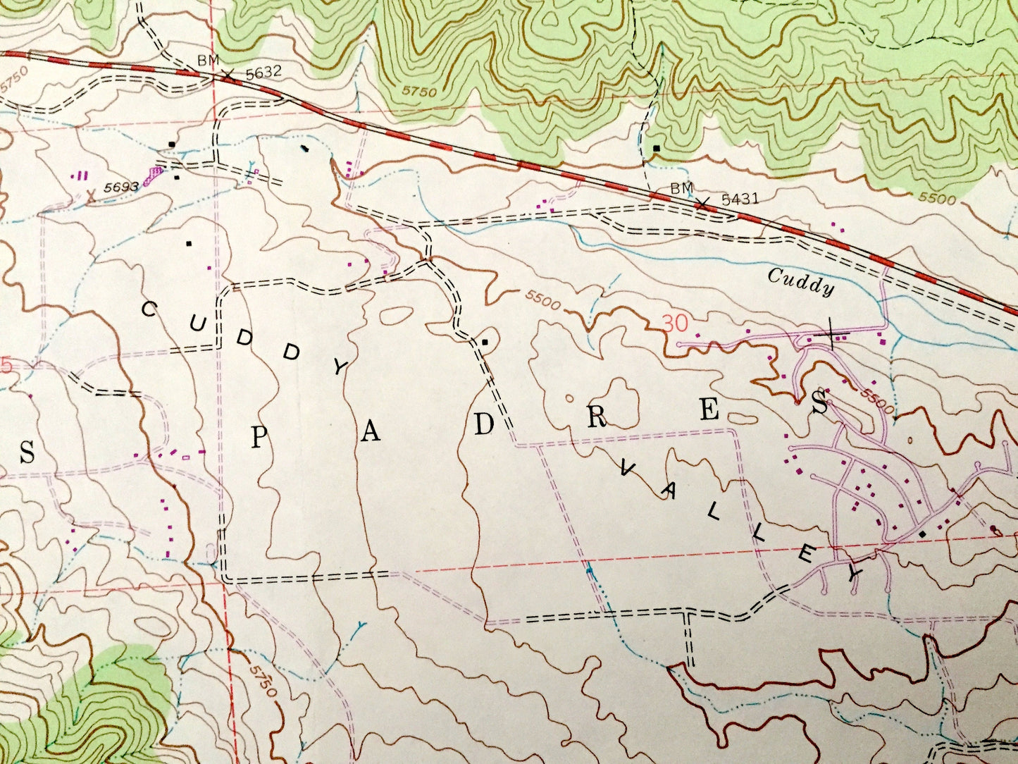
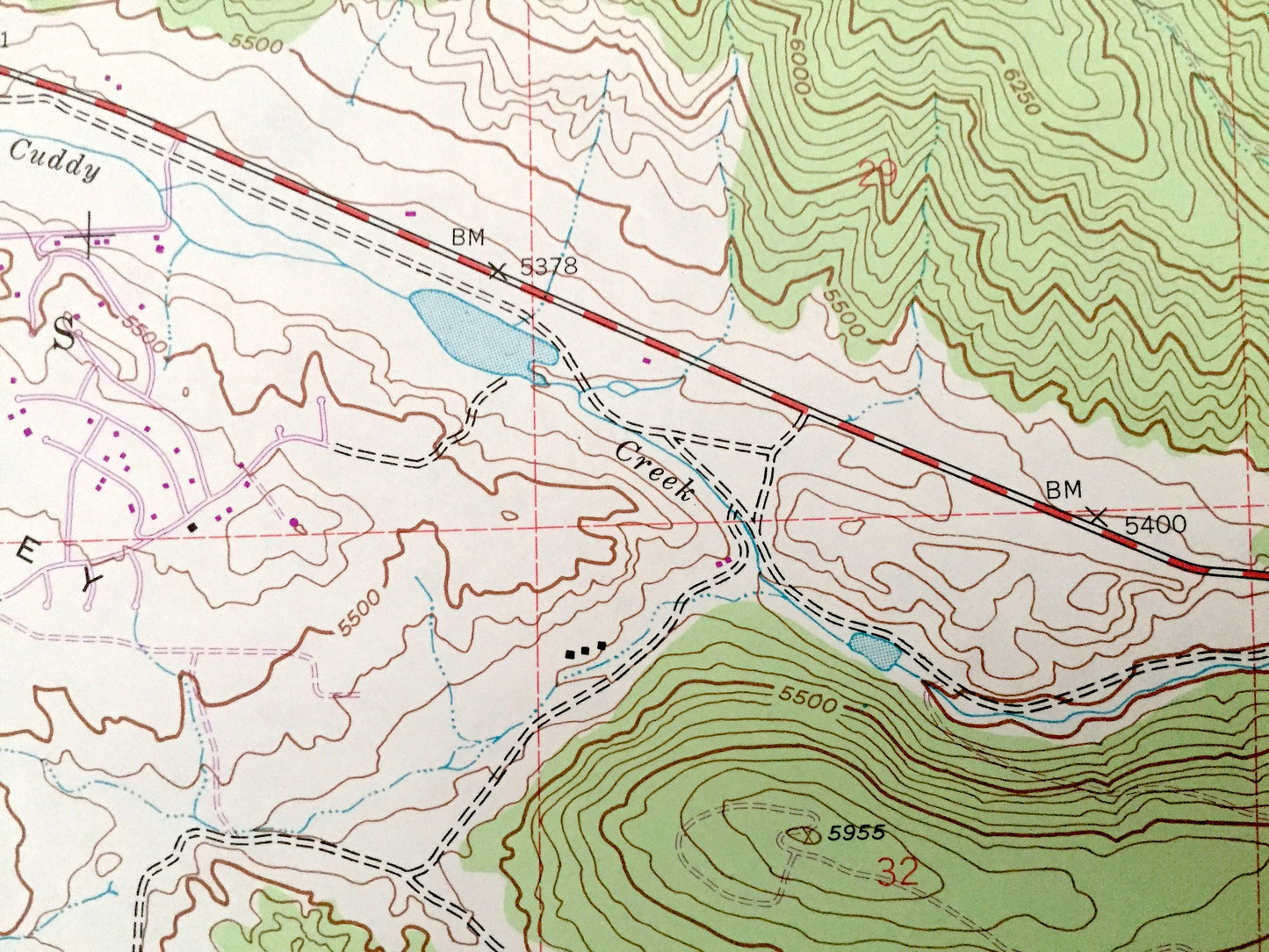
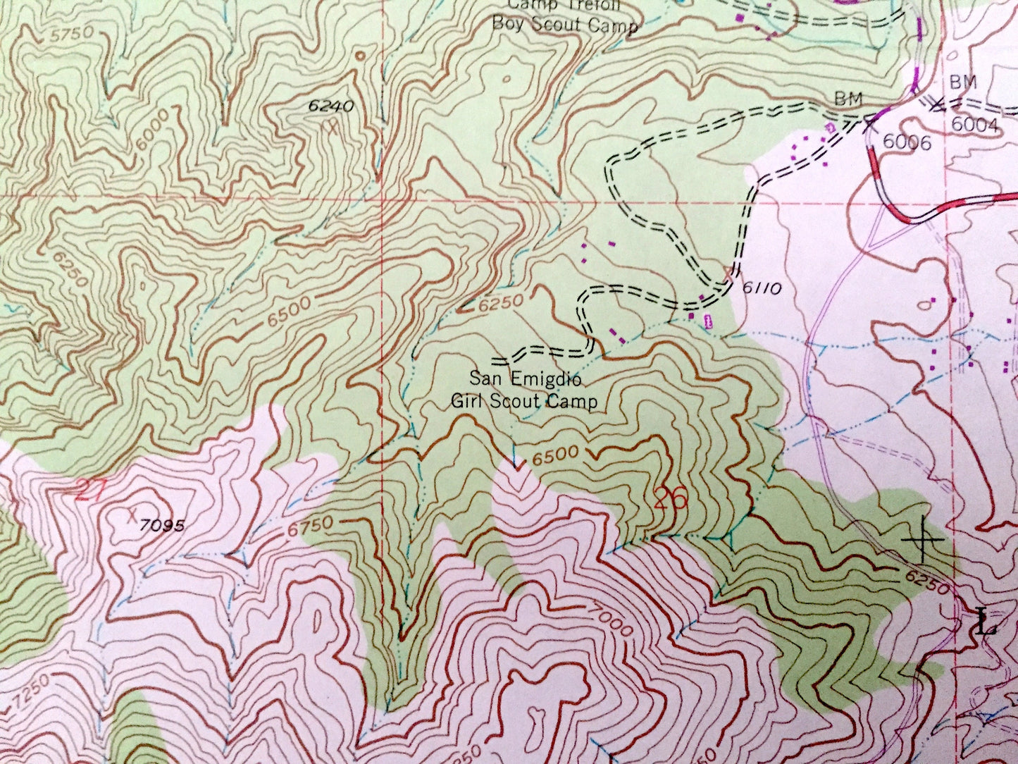
See what California looked like over 75 years ago. Lots of intricate details and geological contours. Map even has little squares for every house that existed at the time. The USGS cartographers were very thorough back then!
Perfect for the historian, map-lover, the curious or just as a conversation starter. Wonderful and rare. Vintage maps such as these make great gifts.
Edition of 1943, printed 1983
Dimensions: 22" width x 27" height
----
Features:
Points of Interest: Kern County, Ventura County, Los Padres National Forest, Cuddy Valley, Lockwood Valley, Cuddy Creek, San Emigdio Girl Scout Camp, Camp Trefoil Boy Scout Camp, Cuddy Ranch, Lake of the Woods, Mt Pinos Camp, Stuaffer, Amargosa Creek and many more mountains, hills, streams, ponds, valleys, canyons and roads.
Condition: Good Vintage condition, commensurate with age. This map is in great shape for being 40 years old. Has light edge-wear and folds as issued, but these will flatten easily, and all of which will read as vintage character when framed.
----
We will happily adjust shipping price for multiple purchases. Maps are rolled up and shipped in sturdy mailing tubes, never folded.
Couldn't load pickup availability
Share