My Store
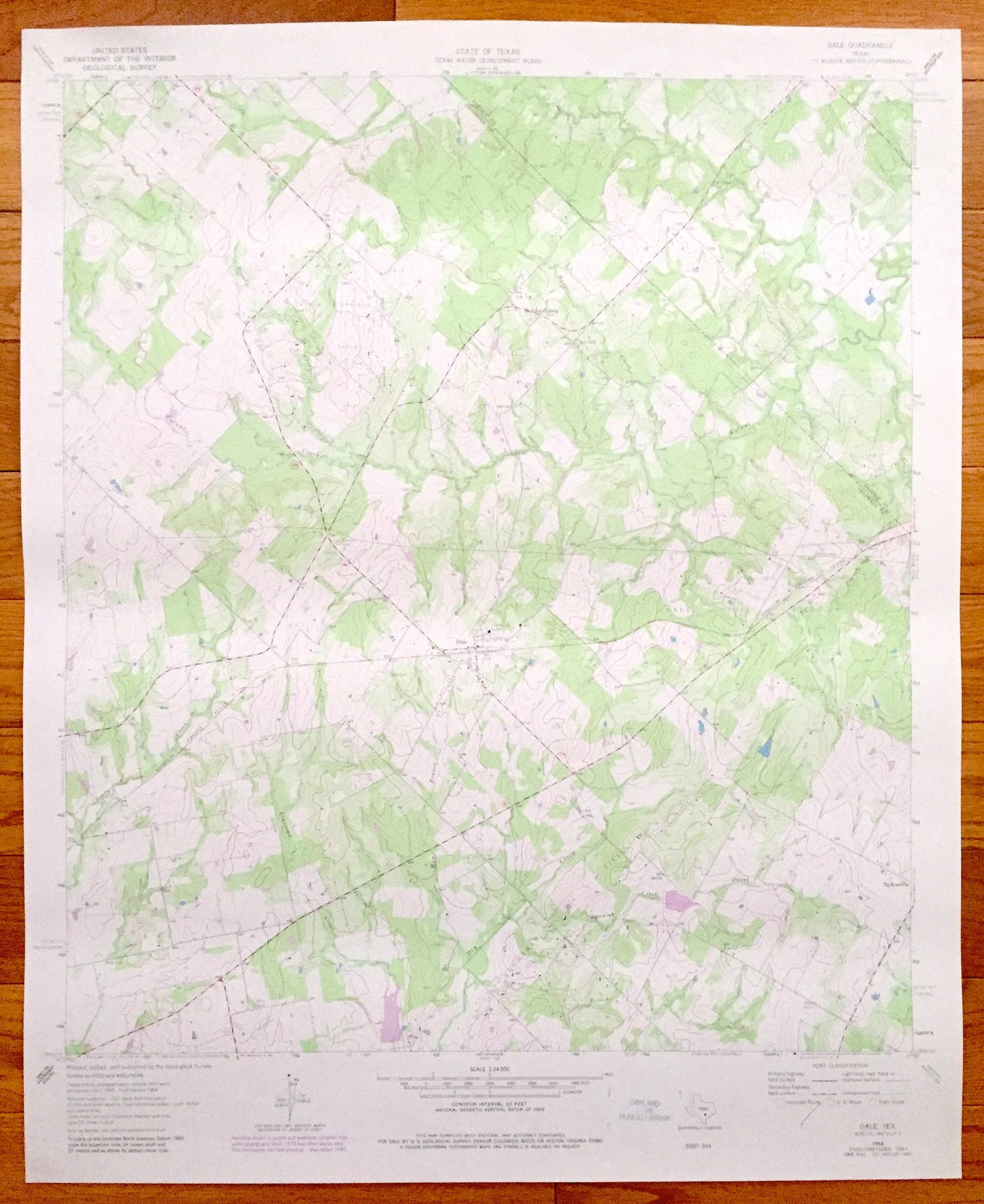
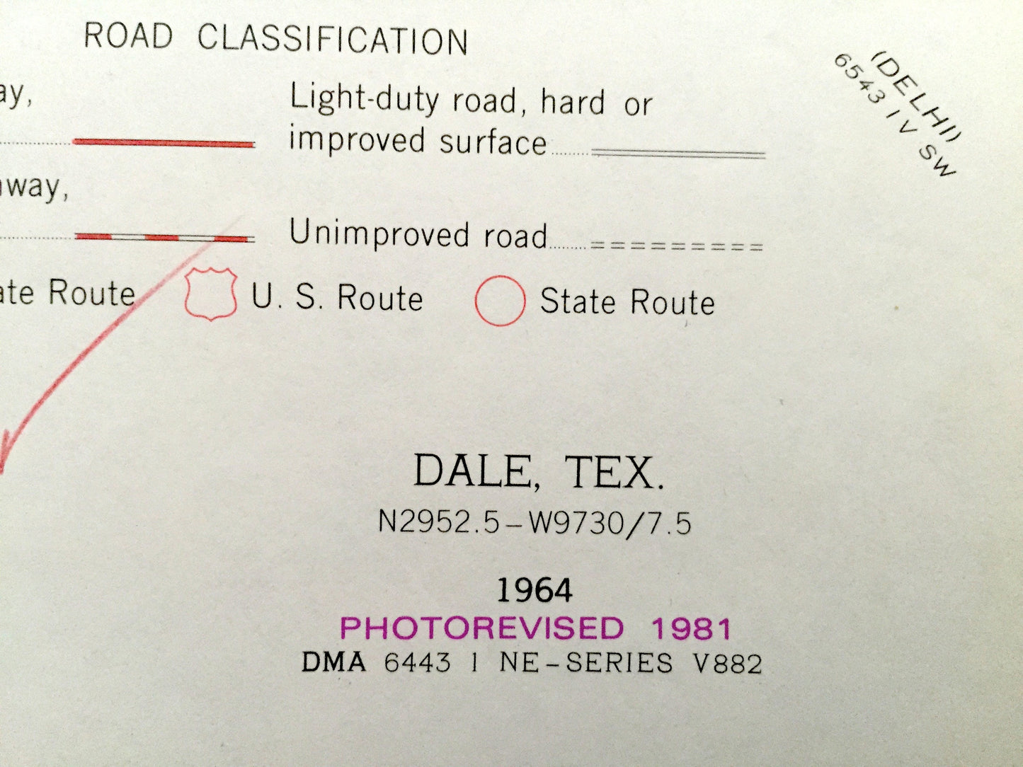
Antique Dale, Texas 1964 US Geological Survey Topographic Map – St John Colony, Taylorsville, Bastrop & Caldwell Counties
Antique Dale, Texas 1964 US Geological Survey Topographic Map – St John Colony, Taylorsville, Bastrop & Caldwell Counties
Beautiful, antique map of Dale, Taylorsville and St John Colony, Texas. This is an authentic 1964 edition, 1981 print from the U.S. Geological Survey and NOT a computer reproduction.
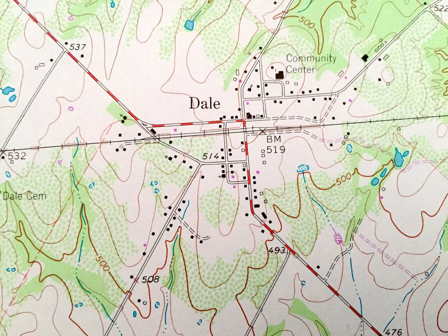
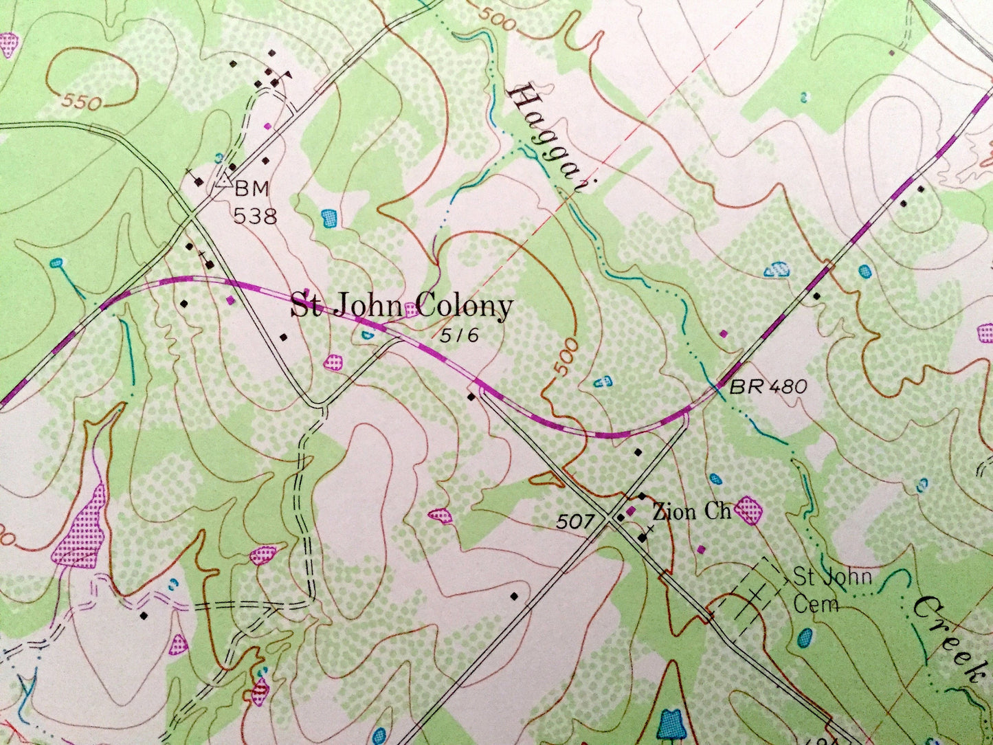
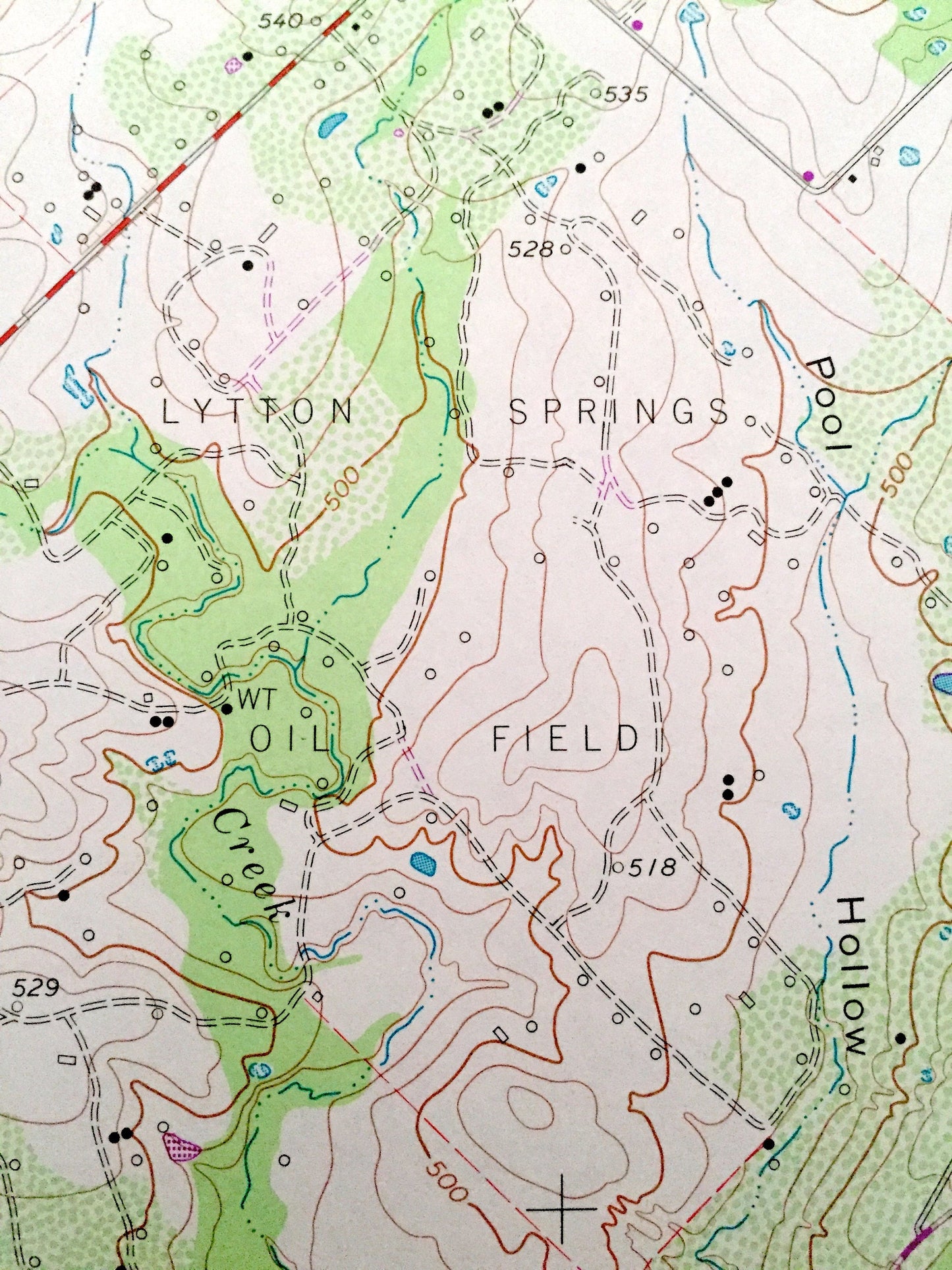
See what Bastrop and Caldwell Counties of Texas, looked like almost 55 years ago. Lots of intricate details and geological contours. Map even has little squares for every house that existed at the time. The USGS cartographers were very thorough back then!
Perfect for the historian, map-lover, the curious or just as a conversation starter. Wonderful and rare. Vintage maps such as this make great gifts.
Edition of 1964, printed 1981
Dimensions: 23" width x 27" height
----
Features
Cities & Towns: Dale, Dt John Colony, Taylorsville.
Points of Interest: Lytton Springs Oil Field, Dale Oil Field, Buchannan Oil Field, Regional Pipelines, Dale Community Center, Missouri Kansas and Texas Railroad, and many other roads, creeks and houses.
Condition: Good condition, commensurate with age. This map is in incredible shape for being over 35 years old.
----
We will happily adjust shipping price for multiple purchases. Maps are rolled up and shipped in sturdy mailing tubes, never folded.
Couldn't load pickup availability
Share