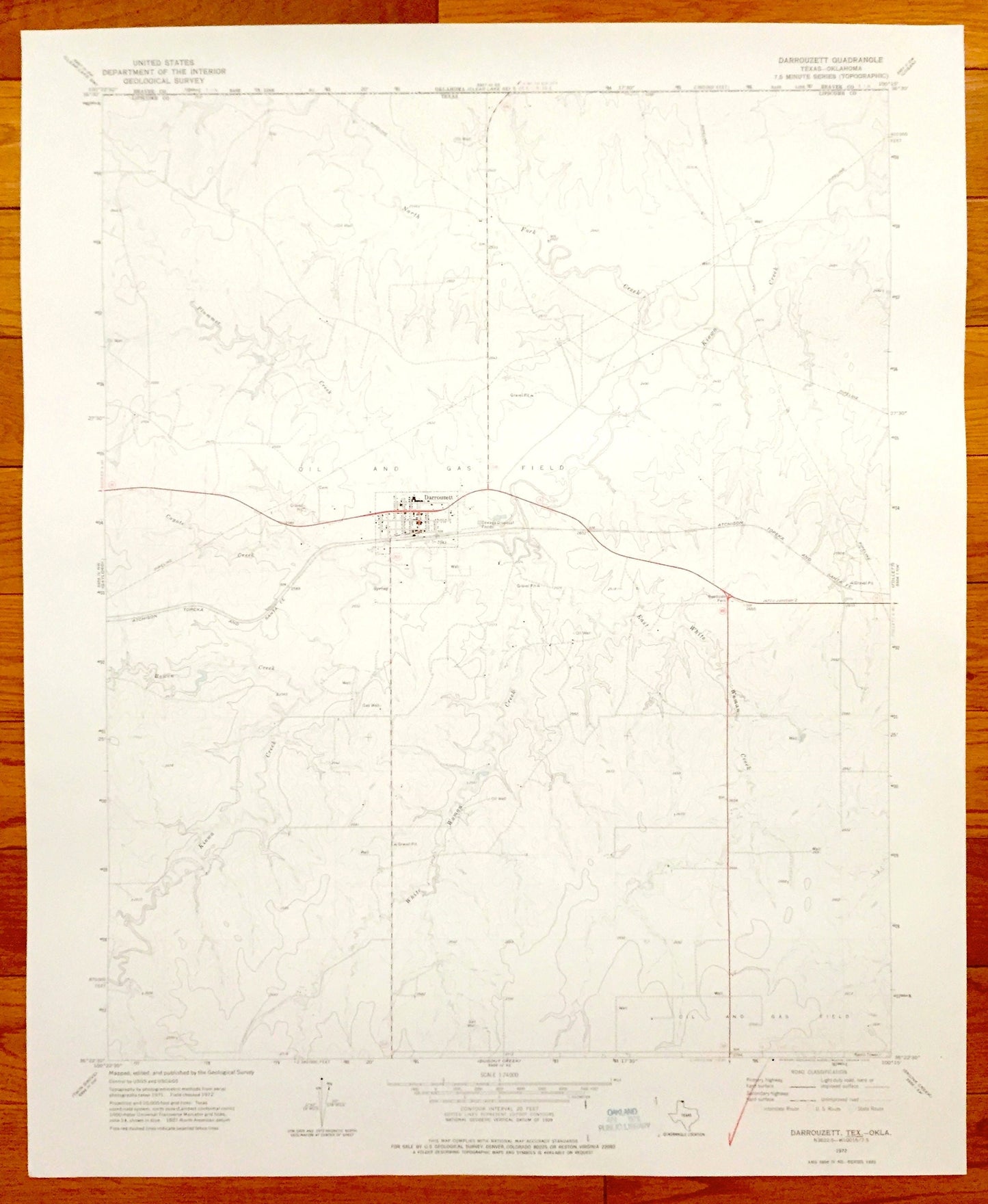
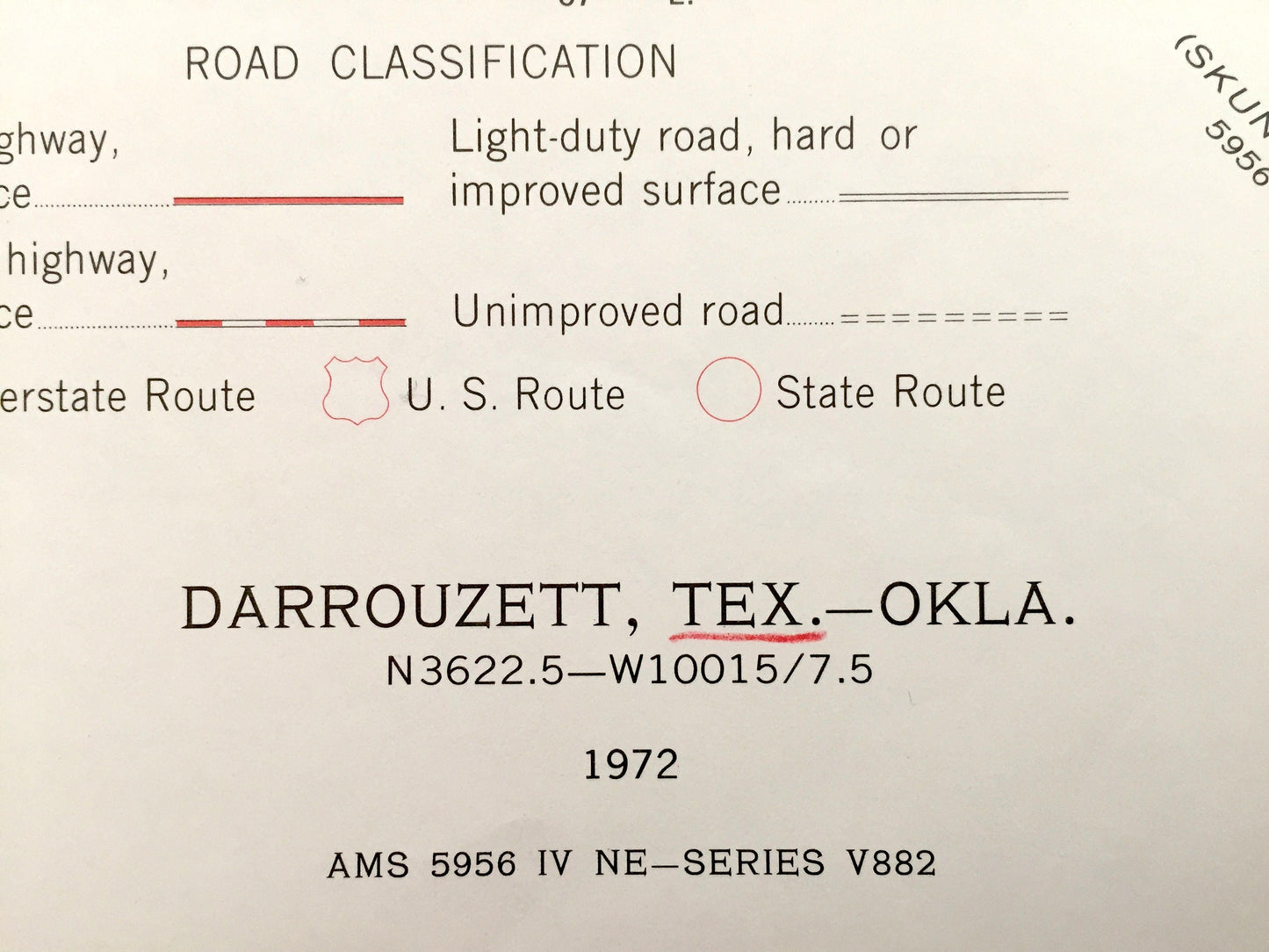
Beautiful, antique map of Darrouzett, Texas. This is an authentic 1972 print from the U.S. Geological Survey and NOT a computer reproduction.
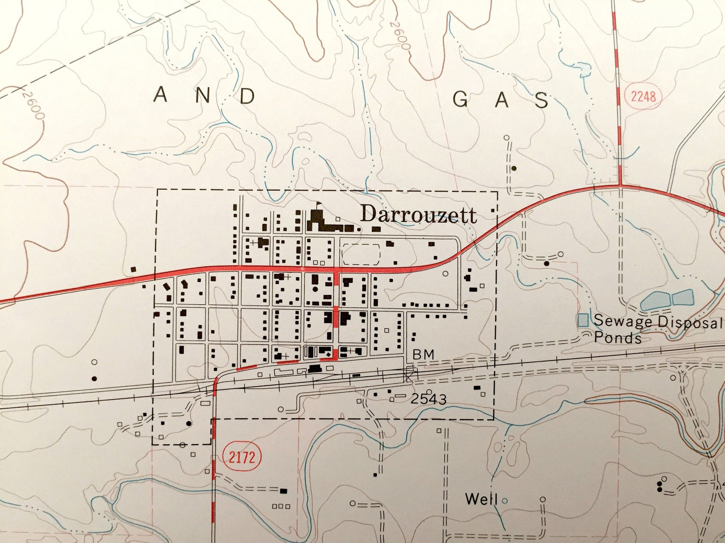
See what Lipscomb County of Texas looked like 45 years ago. Lots of intricate details and geological contours. Map even has little squares for every house that existed at the time. The USGS cartographers were very thorough back then!
Perfect for the historian, map-lover, the curious or just as a conversation starter. Wonderful and rare. Vintage maps such as this make great gifts.
Edition of 1972, printed 1972
Dimensions: 22" width x 27" height
----
Features
Cities & Towns: Darrouzett.
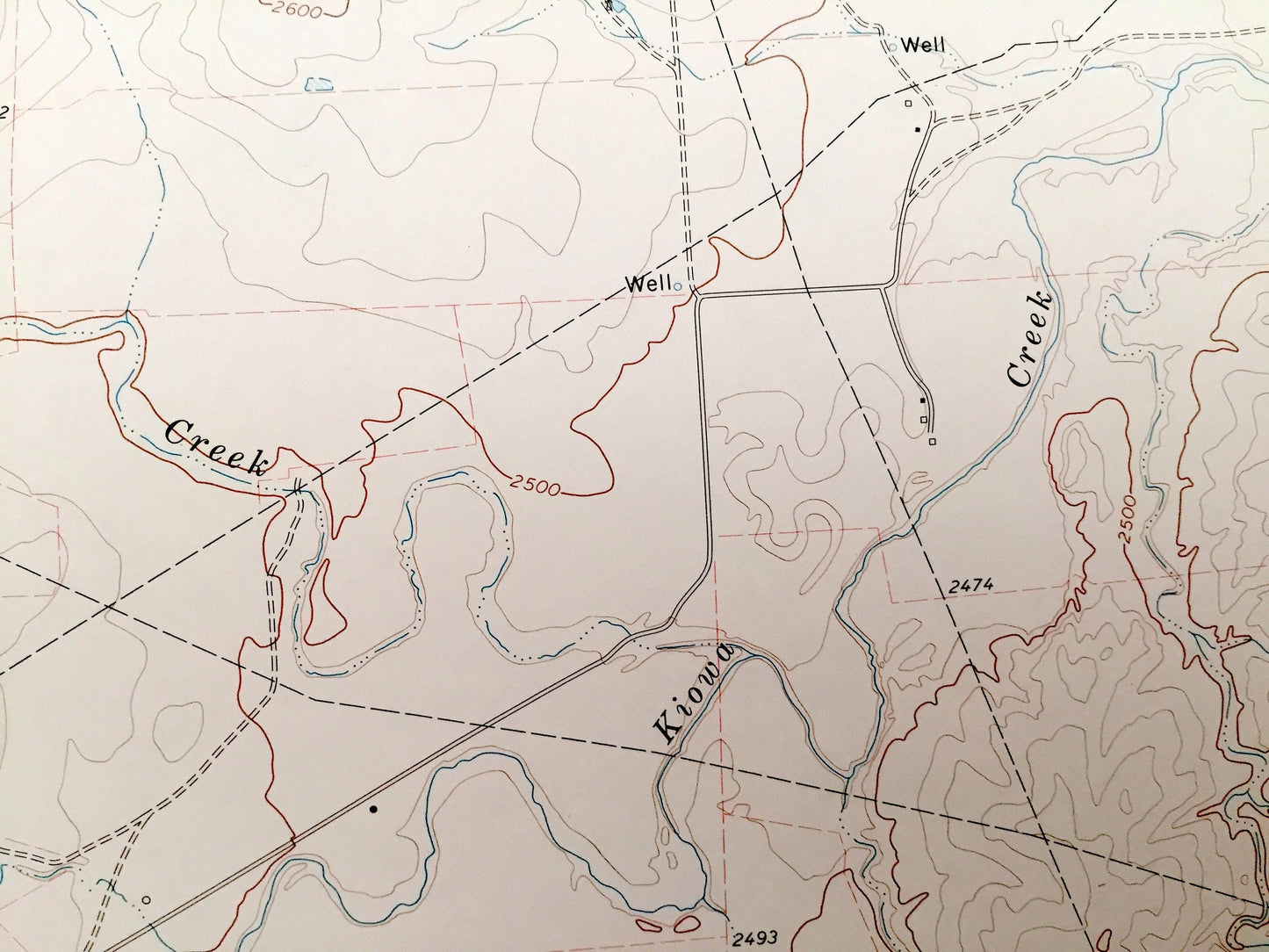
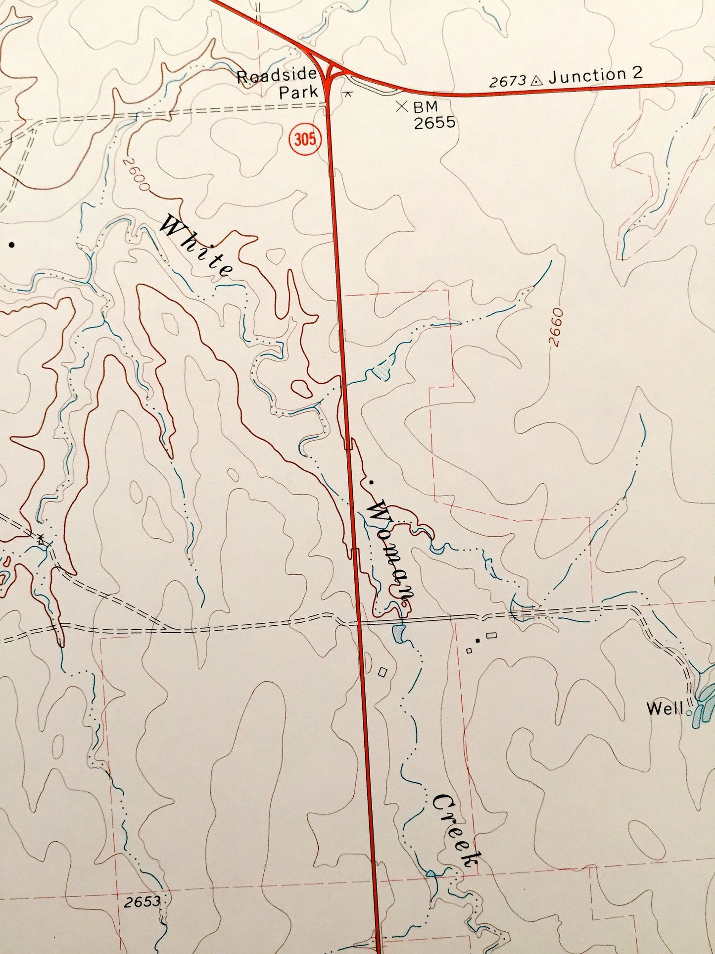
Points of Interest: Plummer Creek, North Fork Creek, Kiowa Creek, Regional Oil and Gas Fields, Atchison Topeka and Santa Fe Railroad, and many more roads, creeks, and houses.
Condition: Good condition, commensurate with age. This map is in incredible shape for being 45 years old.
----
We will happily adjust shipping price for multiple purchases. Maps are rolled up and shipped in sturdy mailing tubes, never folded.