My Store
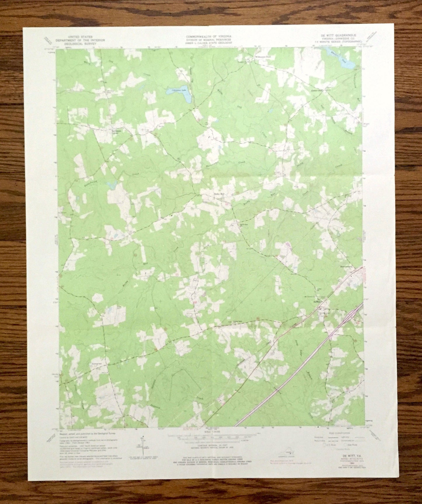
Antique Dewitt, Virginia 1963 US Geological Survey Topographic Map – Dinwiddie County, Butterworth, Colemans Lake, Baptist Church, Farm, VA
Antique Dewitt, Virginia 1963 US Geological Survey Topographic Map – Dinwiddie County, Butterworth, Colemans Lake, Baptist Church, Farm, VA
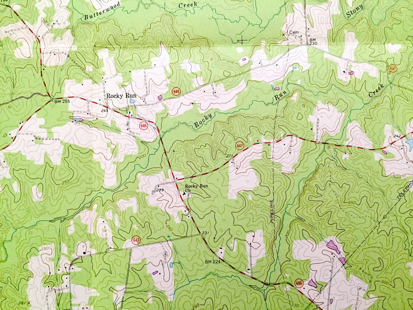
Beautiful, antique map of DeWitt, Virginia and surrounding Dinwiddie County area. This is an authentic 1963 edition, 1977 print from the U.S. Geological Survey and NOT a computer reproduction.
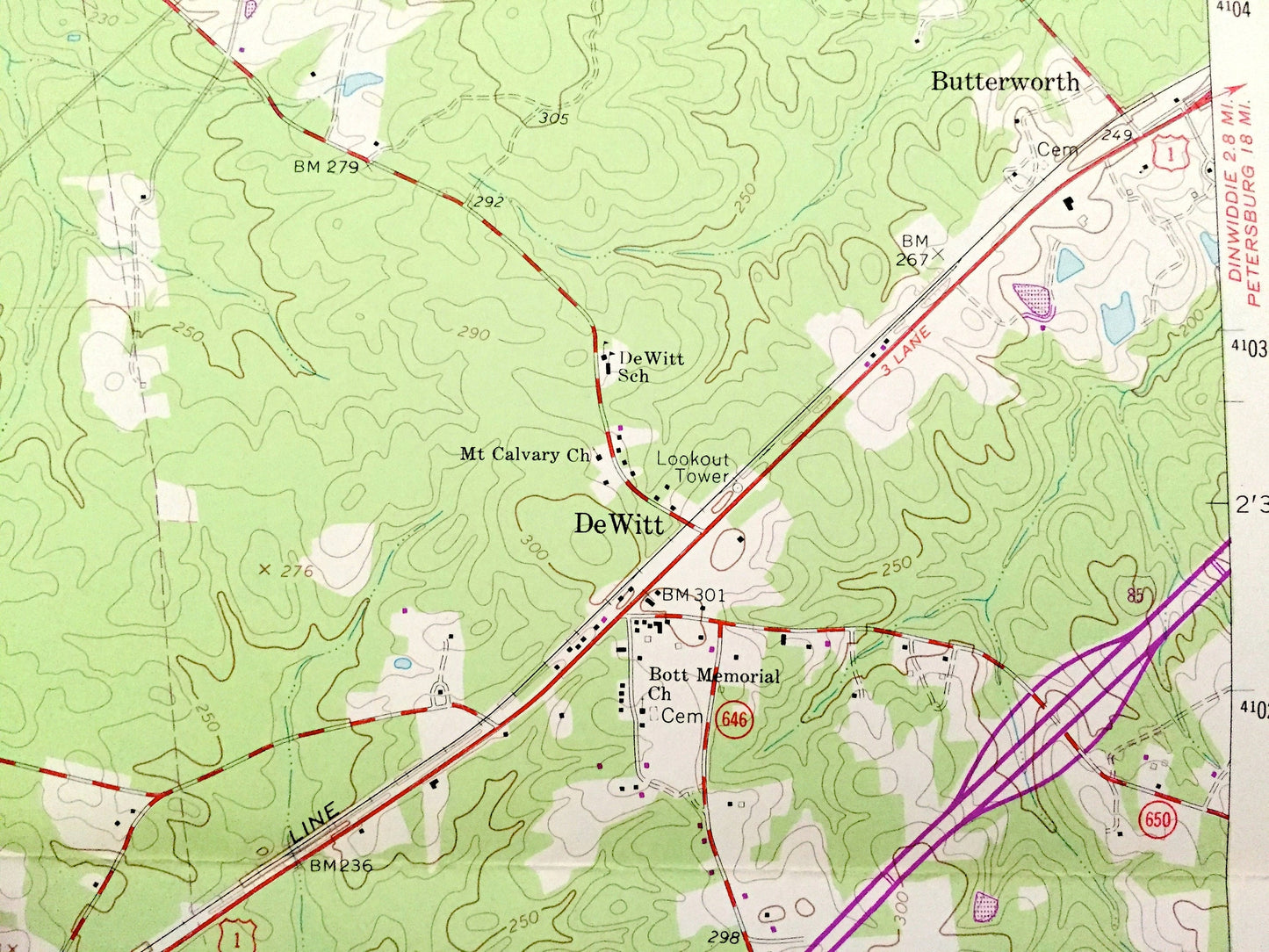
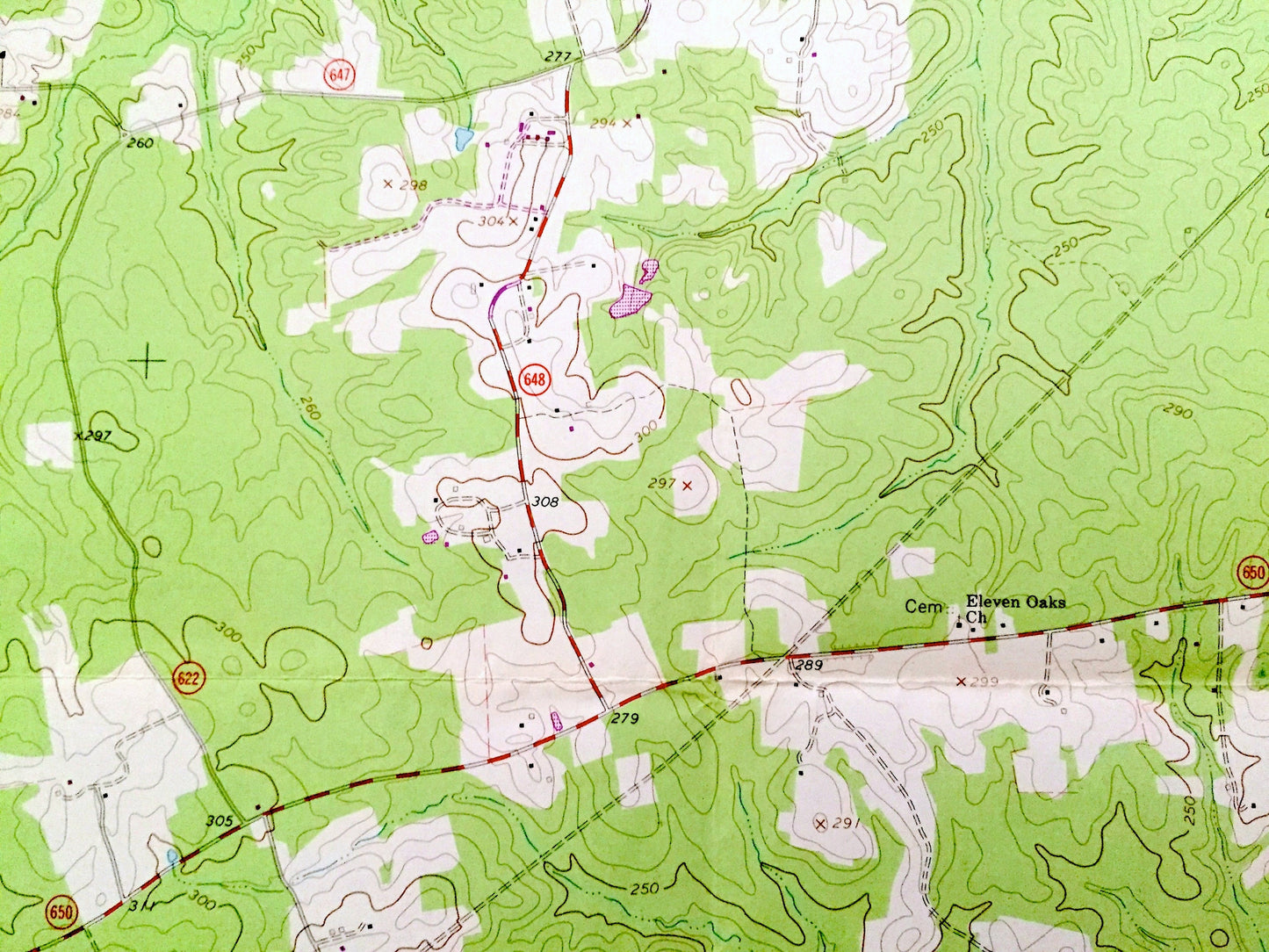
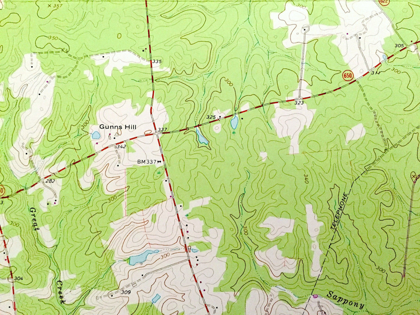
See what Virginia looked like 60 years ago. Lots of intricate details and geological contours. Map even has little squares for every house that existed at the time. The USGS cartographers were very thorough back then!
Perfect for the historian, map-lover, the curious or just as a conversation starter. Wonderful and rare. Vintage maps such as these make great gifts.
Edition of 1963, printed 1977
Dimensions: 22" width x 27" height
----
Features
Cities & Towns: De Witt (Dewitt), Baltimore Corner, Wilkinsons Store, Center Star, Rocky Run, Butterworth.
Points of Interest: Dinwidde County, Colemans Lake, White Oak Creek, Wheelers Pond, Butterwood Creek, Rocky Run Creek, Stony Creek, Sappony Creek, Snap Lodge Branch, Seaboard Coast Railroad Line, Seat Island Branch, , and many more creeks, hills, houses and roads.
Condition: Good Vintage condition, commensurate with age. This map is in great shape for being over 45 years old. Has light wear and folds as-issued, but these will flatten easily and all will read as vintage character when framed.
----
We will happily adjust shipping price for multiple purchases. Maps are rolled up and shipped in sturdy mailing tubes, never folded.
Couldn't load pickup availability
Share